Trail Overview
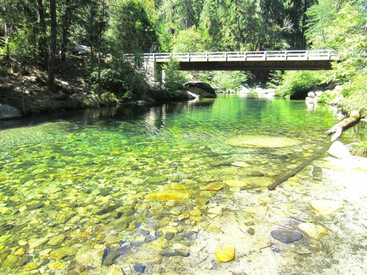
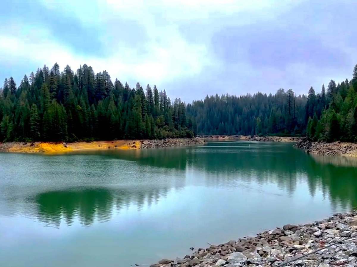
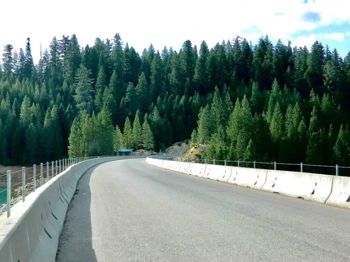
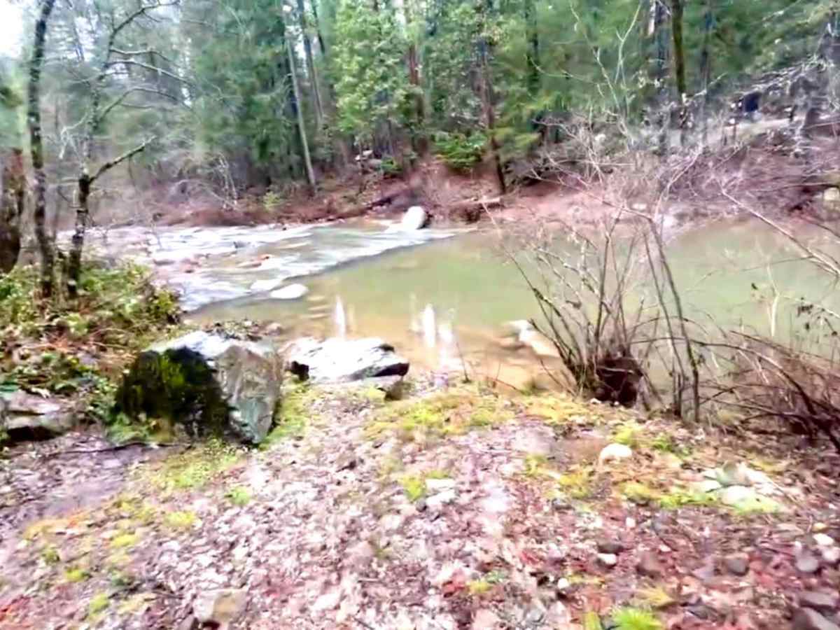
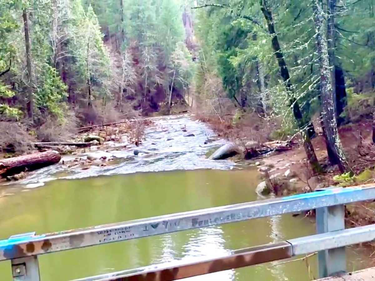
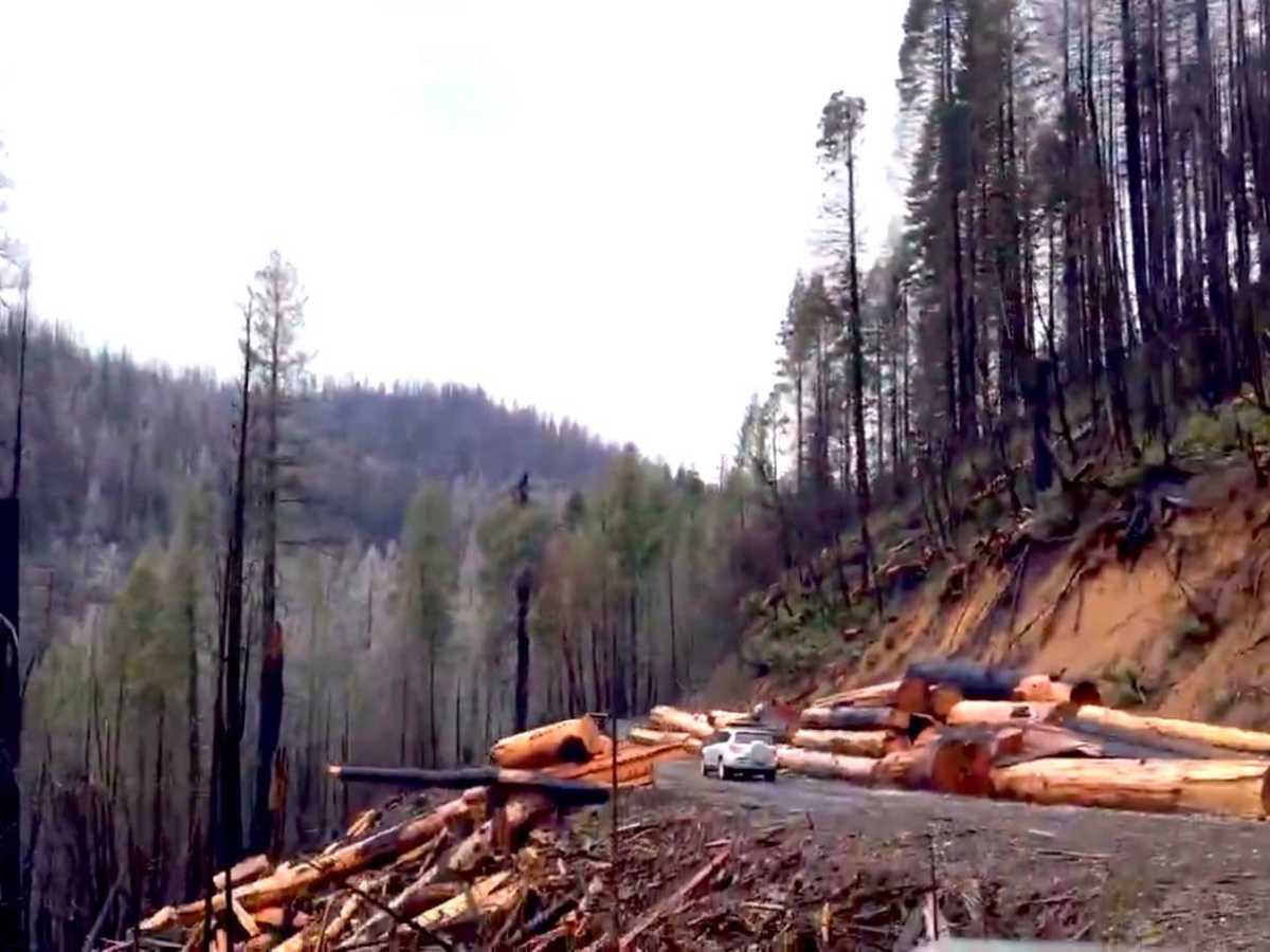
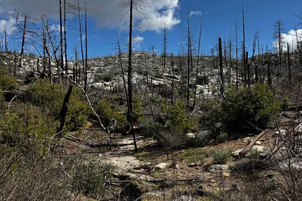
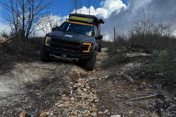
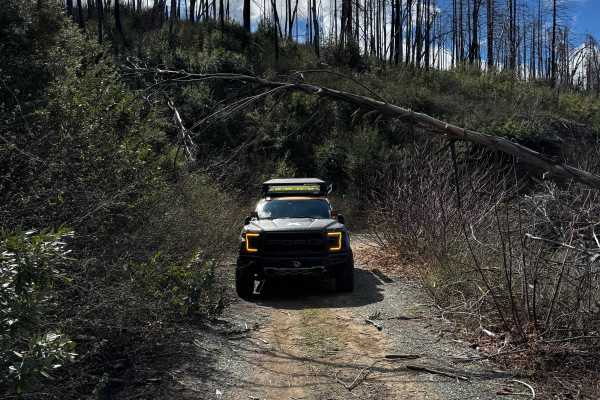
This trail is rated as a Level 1 difficulty. It offers a relatively easy experience, characterized by a flat, well-maintained road predominantly composed of gravel and dirt. However, it should be noted that during winter, the trail may become muddy, slippery, and snow-covered. Accessible from Laporte Road via Barton Hill Road in California, within the northern reaches of the Plumas National Forest, the trail commences with several switchbacks amidst lush pine and oak trees. Noteworthy sights along the route include Sly Creek Dam, providing ample opportunities for scenic photography, sightseeing, and camping in designated areas. Continuing through the forest, the trail leads to a crossing over the South Fork of the Feather River, known as Golden Trout Crossing, offering excellent camping spots with river access for fishing and swimming, as well as short hiking trails. Transitioning into Camel Peak Road (also known as 22N24), the landscape transforms due to the impact of a significant forest fire, presenting a unique, albeit beautiful, vista with areas of bald mountain terrain. Upon reaching a four-way intersection, a right turn onto Lumpkin Ridge Road leads to the mountain's summit, offering an array of trails for exploration, stunning views, dispersed camping, and opportunities for overlanding. With navigation tools like OnX, adventurers can traverse these backcountry trails to the town of Laporte or Little Grass Valley Reservoir, both offering exceptional camping options and picturesque vistas.
Difficulty
The trail typically consists of a dirt road with gravel, albeit not regularly maintained; however, its condition remains tolerable. It maintains an easy terrain throughout most of the route, though during winter, it may become slightly muddy, slippery, and snow-covered. Accessible with a 2-wheel drive vehicle, it offers ample space for vehicles such as a Sprinter van. Certain sections feature shelf roads and moderate inclines, yet four-wheel drive is unnecessary in dry conditions.