Trail Overview
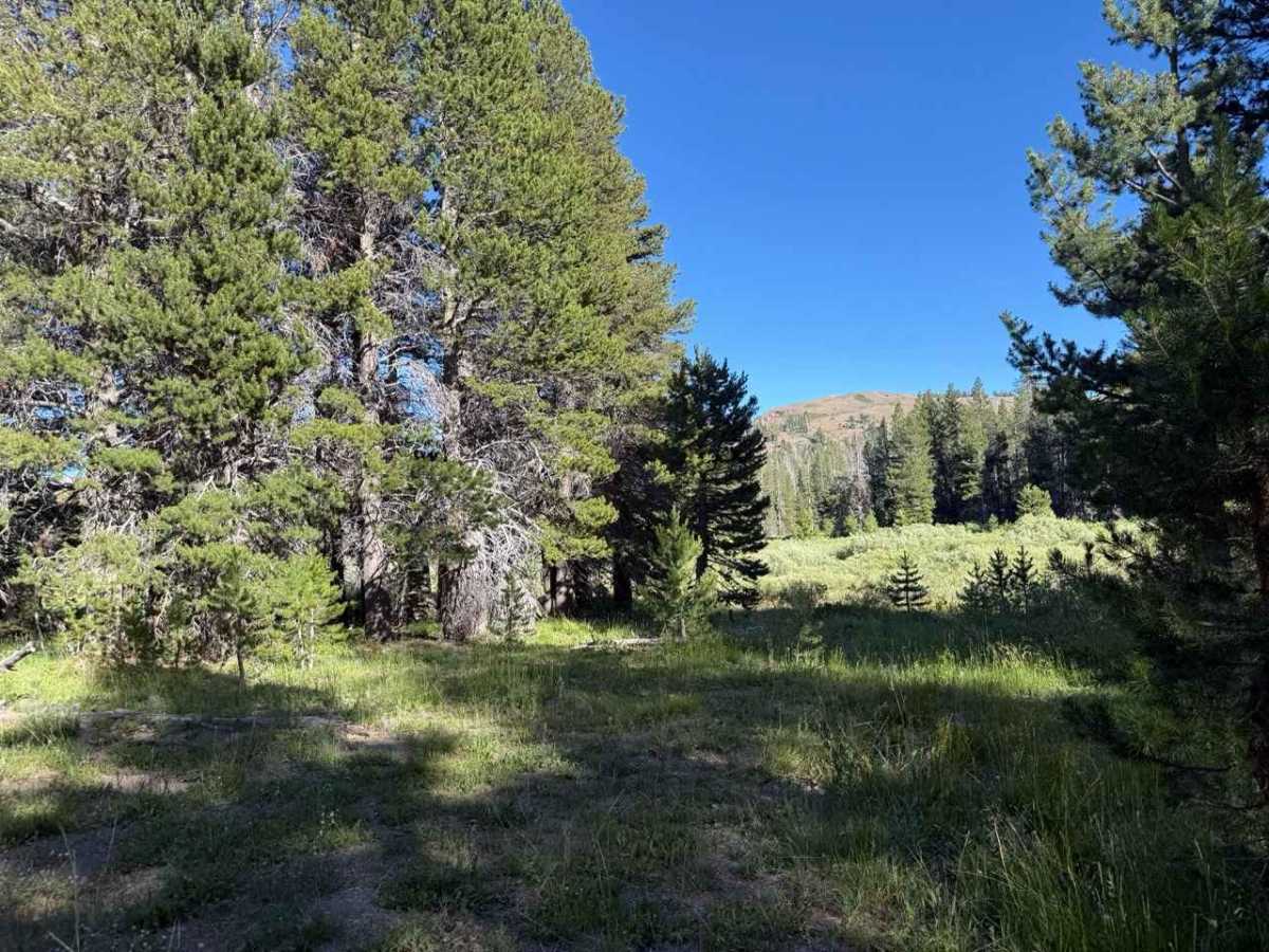
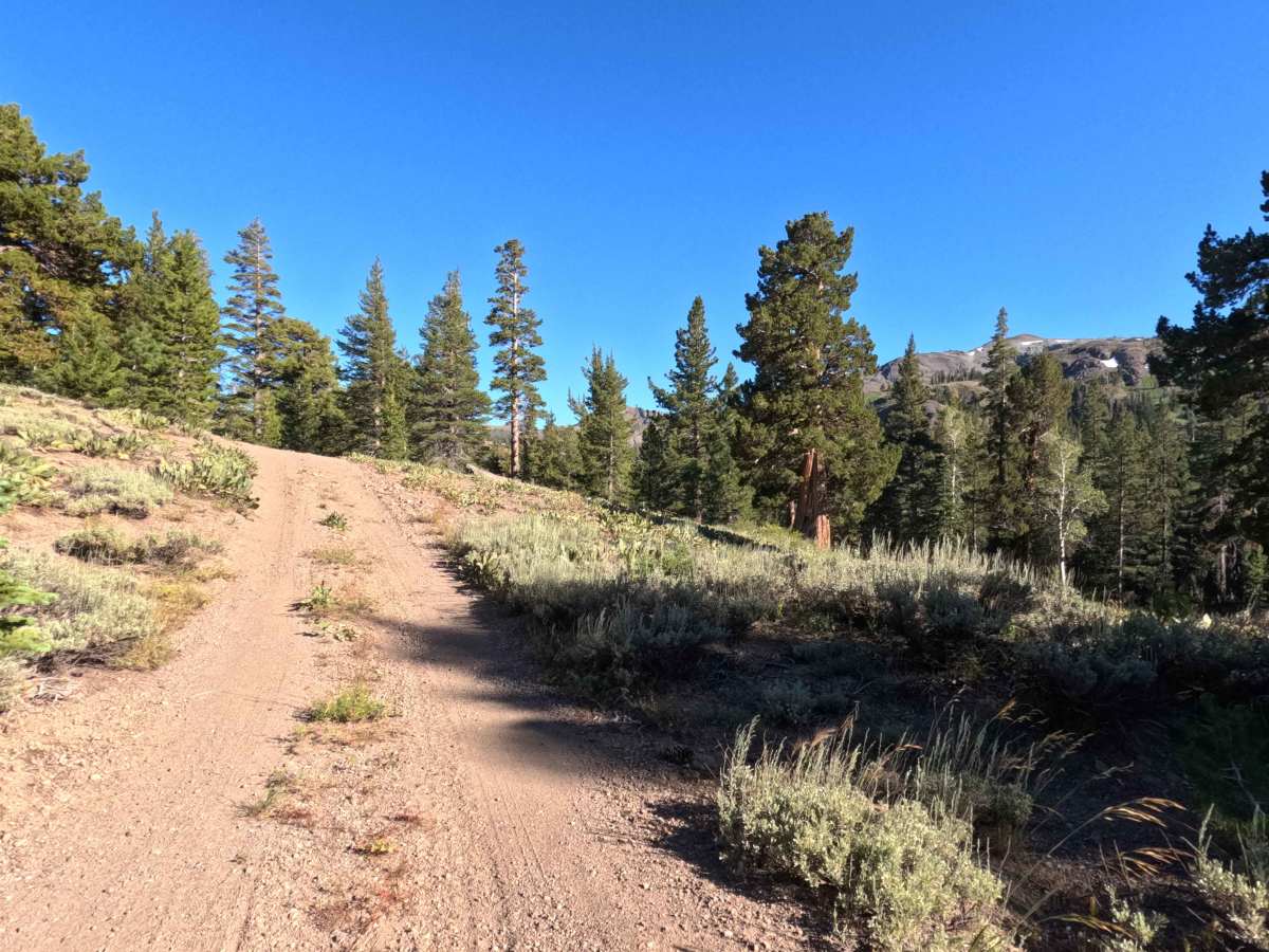
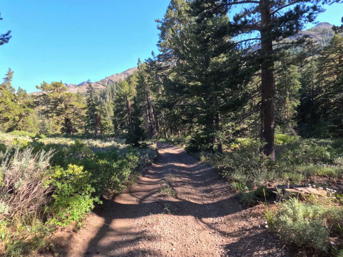
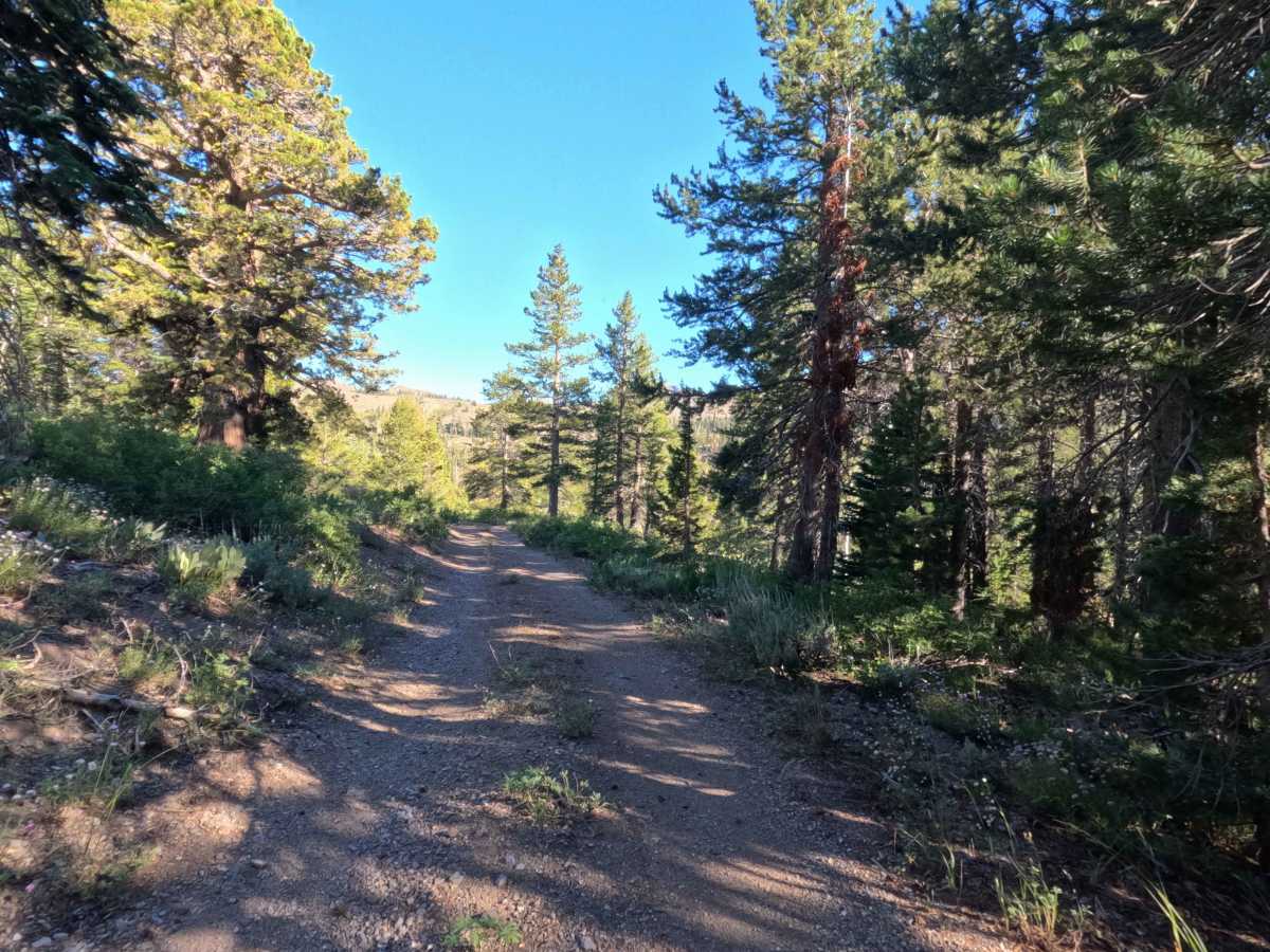
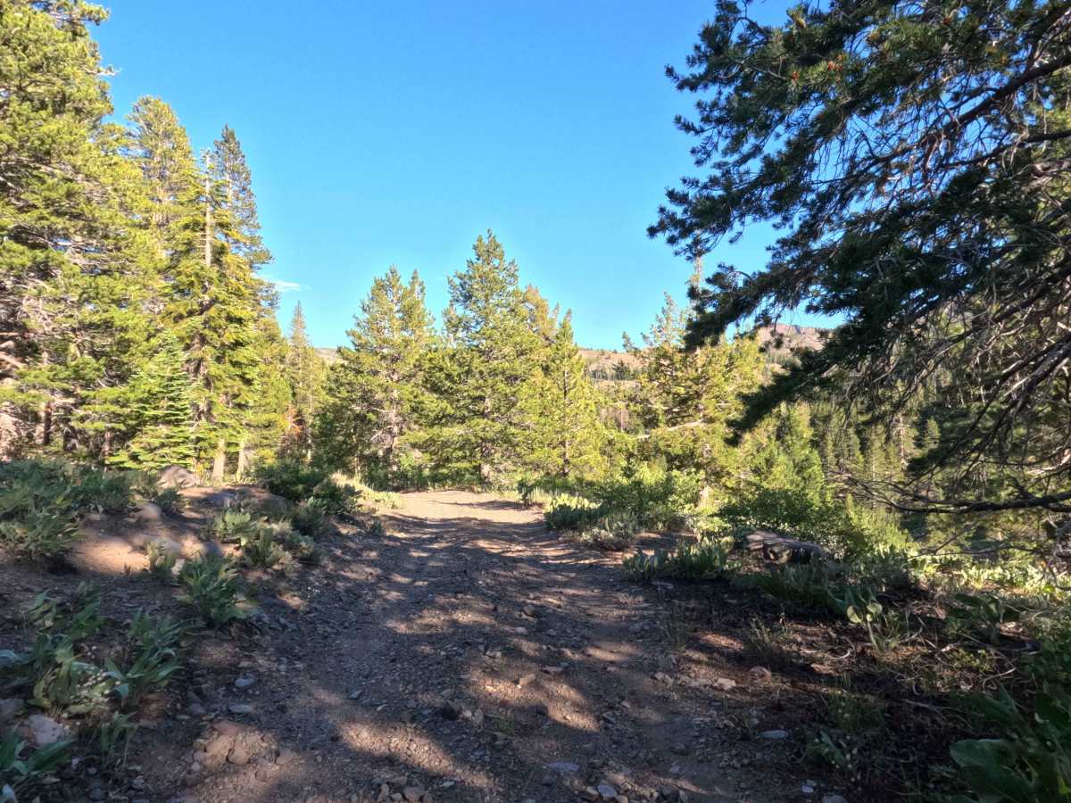
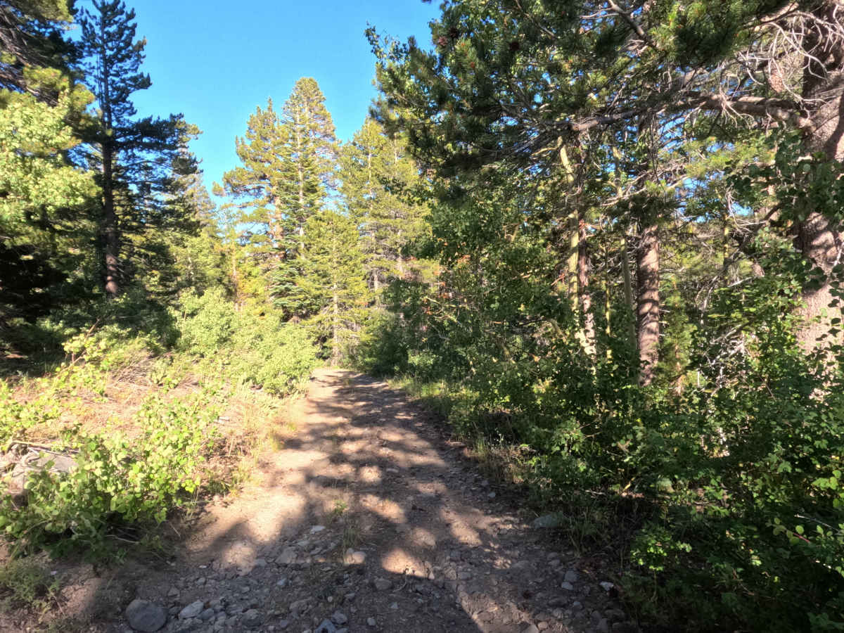
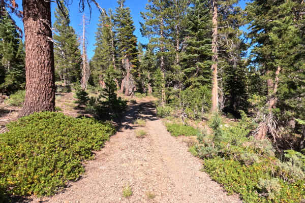
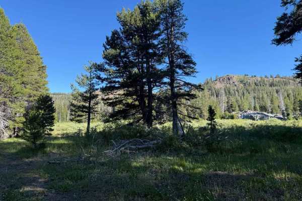
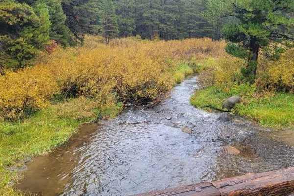
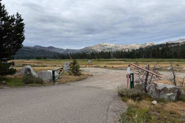
Tucked away within the scenic expanse of the Humboldt-Toiyabe National Forest, Upper Faith Valley Road - FS 31093 is accessed directly off Faith Valley Road near the popular Blue Lakes outdoor recreation area. This 1.2-mile out-and-back spur branches off to explore a quiet, secluded pocket of high-altitude timberland bordering the nearby Mokelumne Wilderness. The trail traverses a vibrant alpine environment characterized by tall Jeffrey pines, red firs, and sagebrush-covered hillsides peppered with granite outcrops. Featuring a single-track, hard-packed dirt surface embedded with small loose rocks, this route maintains a mild difficulty rating of 2 out of 10. While the grade remains gentle, tight vegetation creates an intimate forest canopy that squeezes closely against the track in several spots, presenting a squeeze for wider rigs. The journey terminates at a closed gate marking a private property boundary, where a generous turnaround area allows for an effortless exit. Outdoor enthusiasts routinely use this route for quiet backcountry exploration, staging for nearby hikes, and soaking in peaceful mountain solitude.
Difficulty
Upper Faith Valley Road is rated a 2 due to its gentle grade and approachable trail conditions. The single-lane road surface consists of firm dirt mixed with gravel and small, embedded rocks that present no significant clearance obstacles. Traversing the 1.2-mile distance in approximately 0.25 hours, drivers will encounter tight clearance where brush and low-hanging tree branches encroach upon the track, requiring caution to prevent minor paint scratches. Off-road vehicles of almost any specification can easily negotiate the route, which ends in a wide, level clearing before the private gate for convenient turning around.