Trail Overview
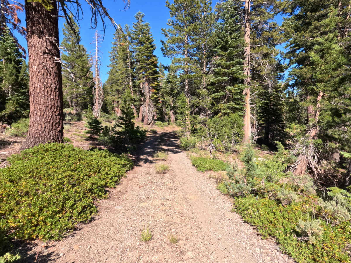
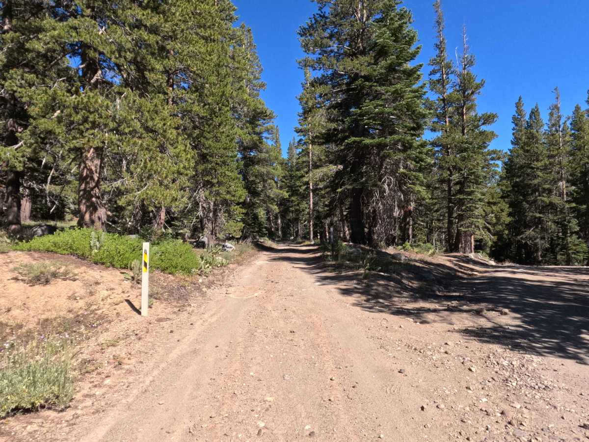
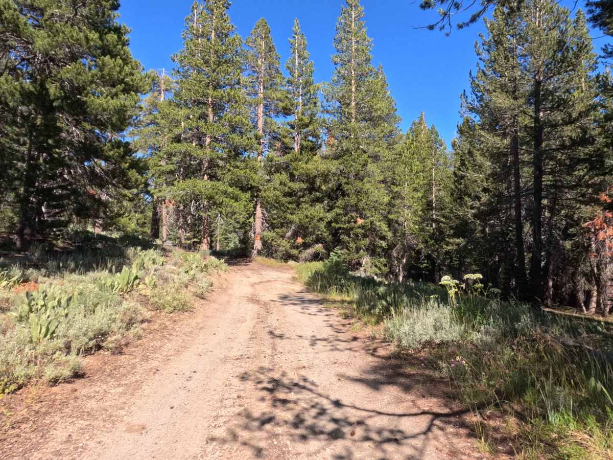
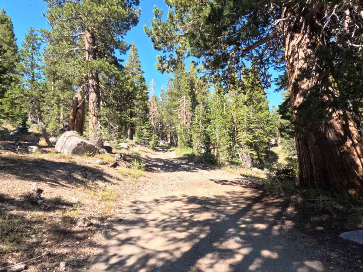
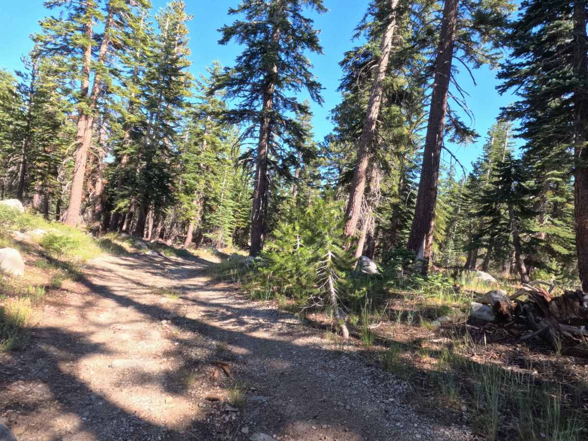
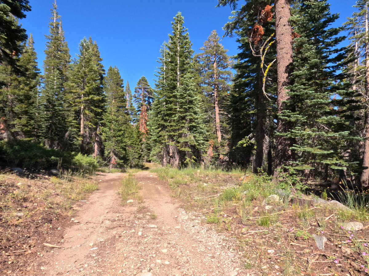
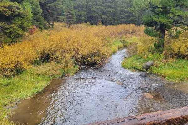
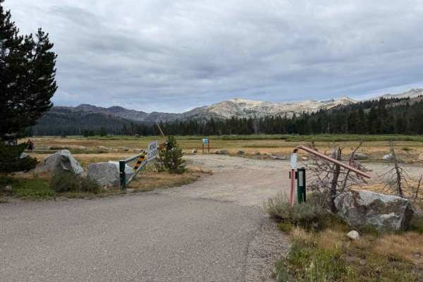
Nestled within a lush, high-alpine conifer forest featuring mature pine timber and vibrant leafy understory in the Humboldt-Toiyabe National Forest, Forestdale Loop Road - FS 31013A offers a quiet mountain detour. Accessed directly off Forestdale Road - FS 31013 near the Highway 88 and Red Lake area, this 0.8-mile single-lane spur functions as an out-and-back route leading deep into the woods. Outdoor recreationists frequently utilize this peaceful track to secure a solitary dispersed campsite or to explore high-country terrain adjacent to the Pacific Crest Trail. The driving surface consists of a narrow, hard-packed dirt track mixed with embedded granite rocks, earning an accessible Grade 2 difficulty rating. Departing the main forest road, the path gently winds through towering trees and dense vegetation. While predominantly tight and single-track, occasional wider spots offer space to yield if oncoming traffic approaches. The route concludes at 0.8 miles at a flat, secluded campsite dead-end featuring a convenient turnaround area.
Difficulty
Earning an accessible grade 2 difficulty rating, this 0.8-mile out-and-back spur has a firm dirt and gravel surface with small embedded stones. Technical obstacles, deep ruts, and clearance-testing boulders are absent, allowing standard stock vehicles to traverse the path without difficulty under dry conditions. Drivers should proceed at a slow, controlled speed, stay mindful of the narrow tree-lined right-of-way, scan ahead for occasional passing turnouts, and execute a simple turnaround within the open campsite clearing at the road's end.