Trail Overview
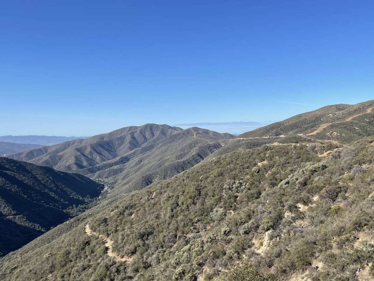
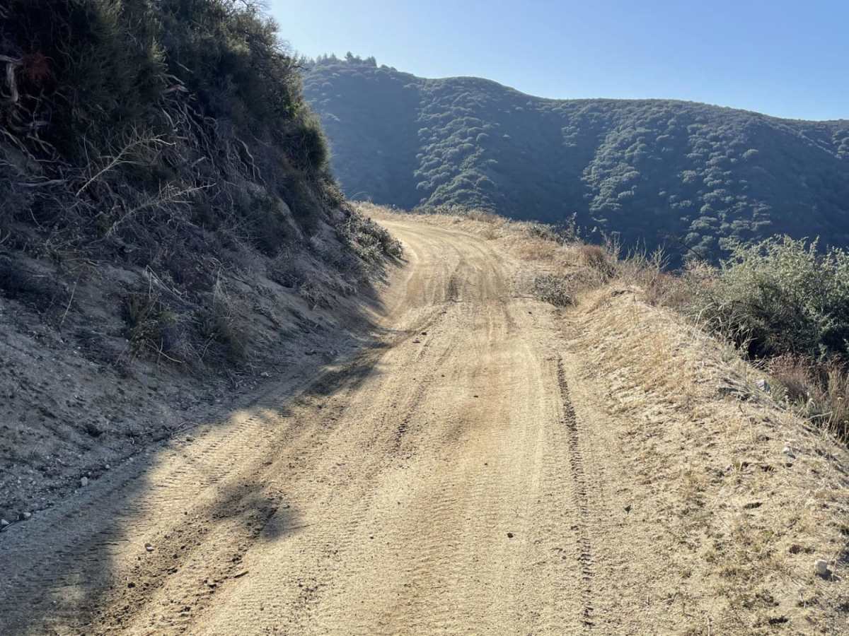
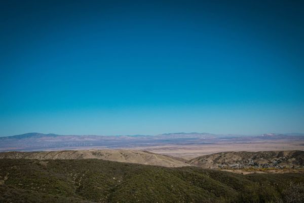
Tule Divide offers an easy, scenic drive through the Sierra Pelona Range, making it perfect for beginners, families, and those looking for a relaxing dirt-road cruise with panoramic views. Spanning approximately 14.4 miles, this point-to-point route primarily follows Burns Canyon Road and other forest service routes, linking easily to surrounding trails for extended off-road exploration. Starting from San Francisquito Canyon Road, drivers will climb to a peak elevation of 4,179 feet, navigating well-maintained dirt and gravel surfaces that present minor ruts and small ledges, especially after seasonal rains. High-clearance two-wheel-drive and four-wheel-drive vehicles, as well as SxSs, can comfortably traverse this trail during the dry season. Along the route, expansive vistas open up to reveal the Tehachapi Pass Wind Farm to the north, Santa Clarita to the south, and the blue waters of Bouquet Reservoir to the east.
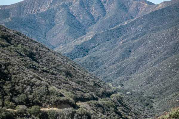
The trail transitions through chaparral-covered hillsides, offering a dramatic descent of nearly 2,956 feet and providing a closer look at local infrastructure, including the massive pipeline of the Los Angeles Aqueduct, which has supplied water to the metropolitan area since the early 20th century. Although rated a simple 2 out of 10 for technical difficulty, winter and late rainy seasons can introduce challenges like thick mud, snow at higher elevations, and icy asphalt along the access points on San Francisquito Road, making tire chains a highly recommended precaution. There are no major rock gardens or deep water crossings to worry about, making it a stress-free environment for testing out a new rig or enjoying a quick day trip from the Los Angeles basin. For those looking to extend their outing, several spur roads branch off from the main divide, allowing for customizable itineraries and additional vantage points of the beautiful Angeles National Forest.
History
The southern portion of the route offers views of the Bouquet Reservoir and the massive steel pipelines of the Los Angeles Aqueduct, which has delivered water to Southern California since its completion in 1913. The Bouquet Reservoir and its dam were completed in 1934 to provide additional storage capacity for the aqueduct system.



 Offroad