Trail Overview
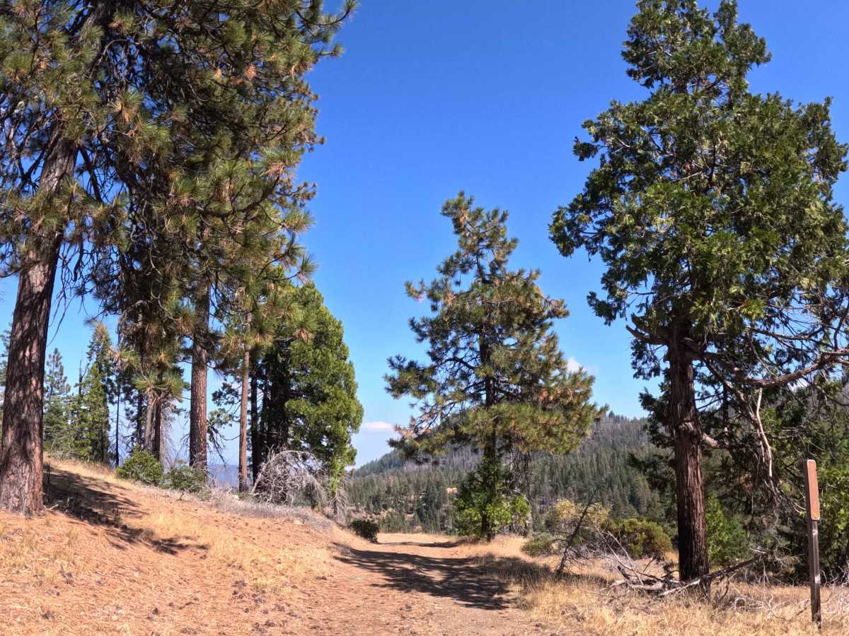
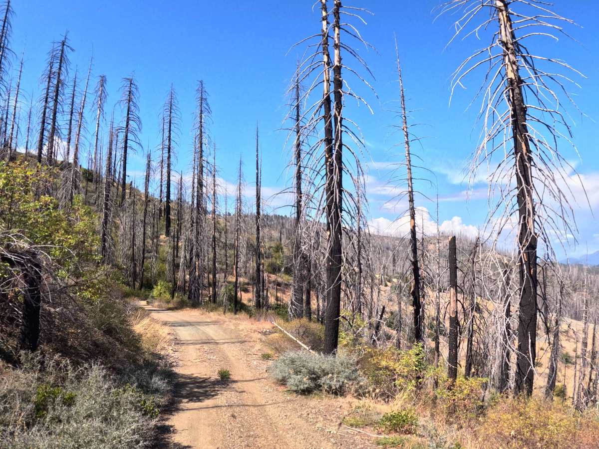
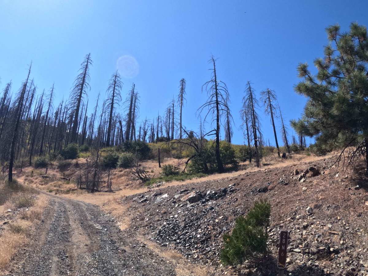
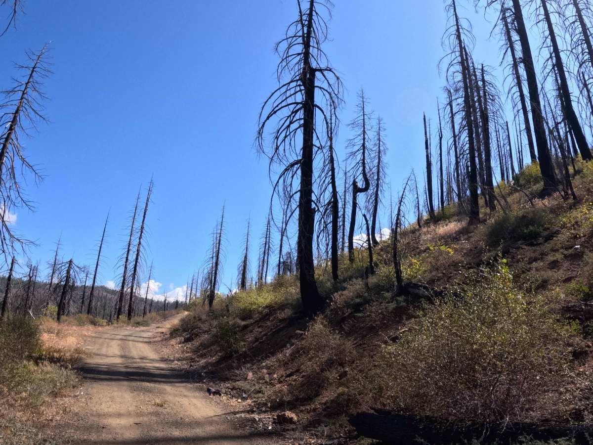
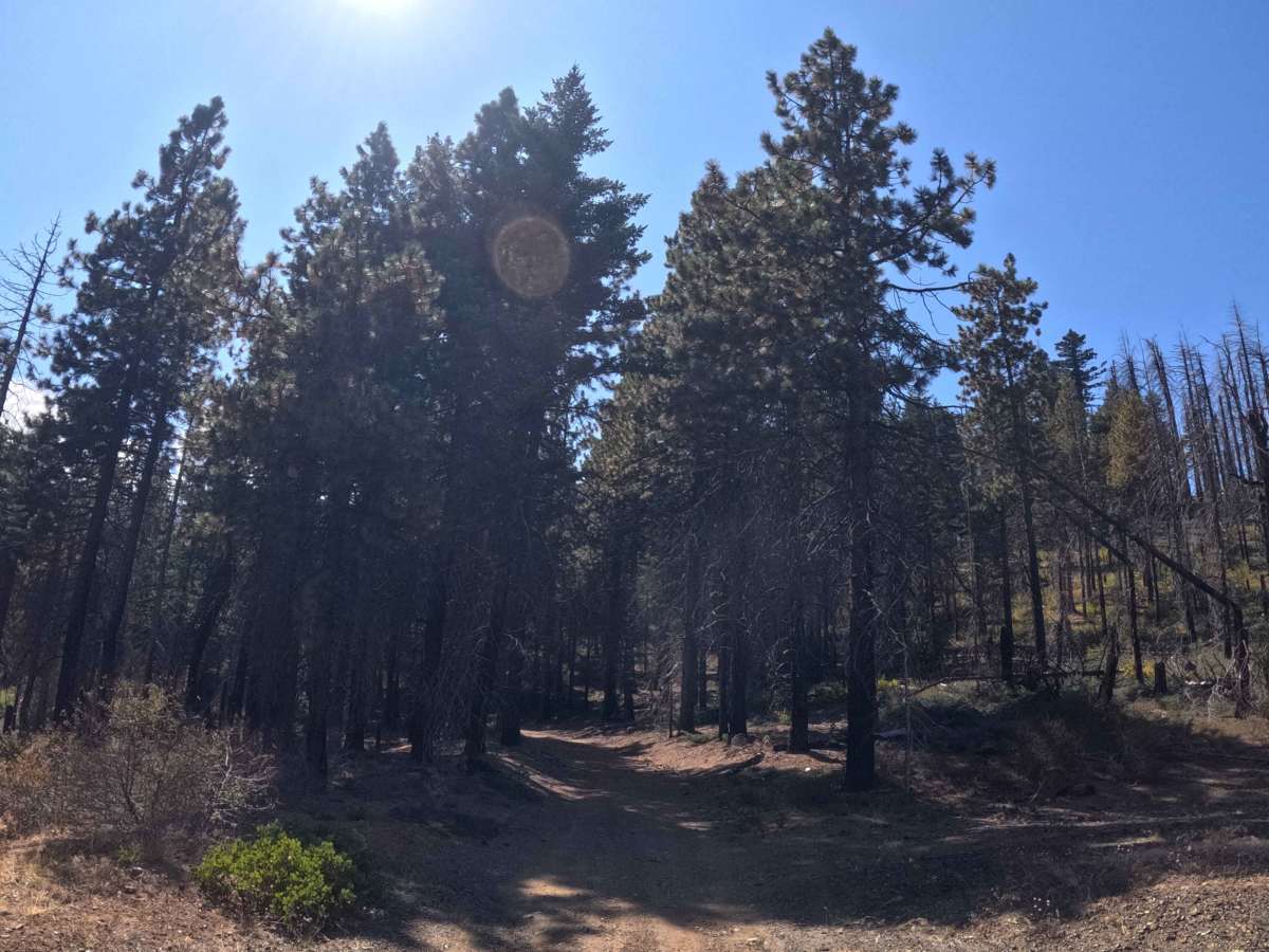
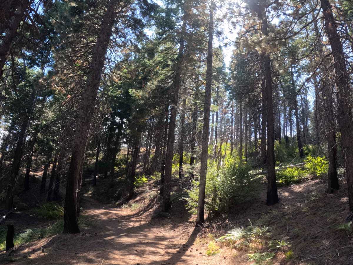
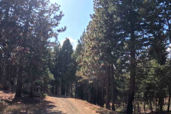
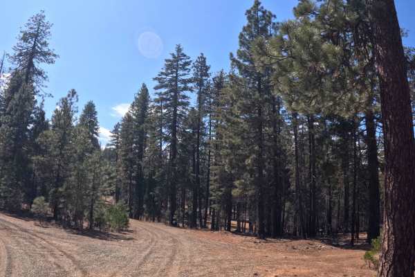
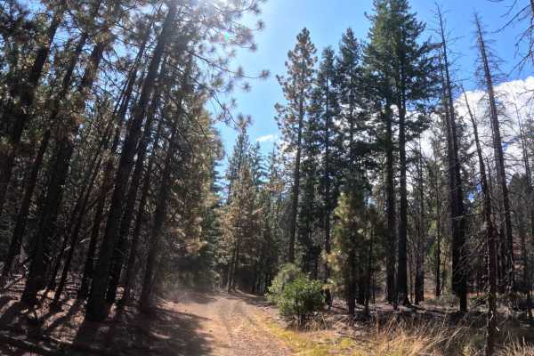
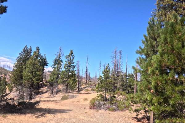
Serving as a vital overland link, Tie (FS 28N67) is a brief gravel connector trail that bridges the Rat Trap Gap (FS 35) corridor with the Middle Fork (FS 28N15) route. The path traces the elevated hillsides of the Trinity National Forest, passing through a dynamic, transitional landscape where thriving green pines stand in sharp contrast to the stark, charred timber left behind by the devastating 2021 McFarland Fire. Overlanders, dual-sport riders, and sightseers frequently utilize this convenient shortcut to bypass longer transits and maintain uninterrupted throughput deeper into the expansive Trinity trail network. The driving surface consists of a narrow, single-track gravel shelf-road holding a highly accessible Grade 1 difficulty rating. As the path carves its way along the mountain contours, travelers will experience a mild ten-percent grade variation. The lack of heavy encroaching brush provides excellent visibility across the recovering valley, making it a highly scenic and efficient mountain traverse.
Difficulty
Off-road travelers will encounter an exceptionally forgiving and straightforward drive along this Grade 1 gravel transit. Severe obstacles such as deep mud trenches, large rocky ledges, or perilous washouts are completely absent from this well-maintained path. The primary driving consideration simply involves maintaining spatial awareness while navigating the exposed shelf-road segments and anticipating oncoming traffic entering from either junction. The road is sufficiently wide and cleared back from the tree line, eliminating any concern of unwanted foliage rub or brush scraping against the vehicle's paint. With a solid, reliable gravel base and a manageable ten-percent elevation grade, any standard passenger vehicle boasting basic factory ground clearance can safely and effortlessly utilize this convenient mountain shortcut under normal, dry seasonal conditions.