Trail Overview
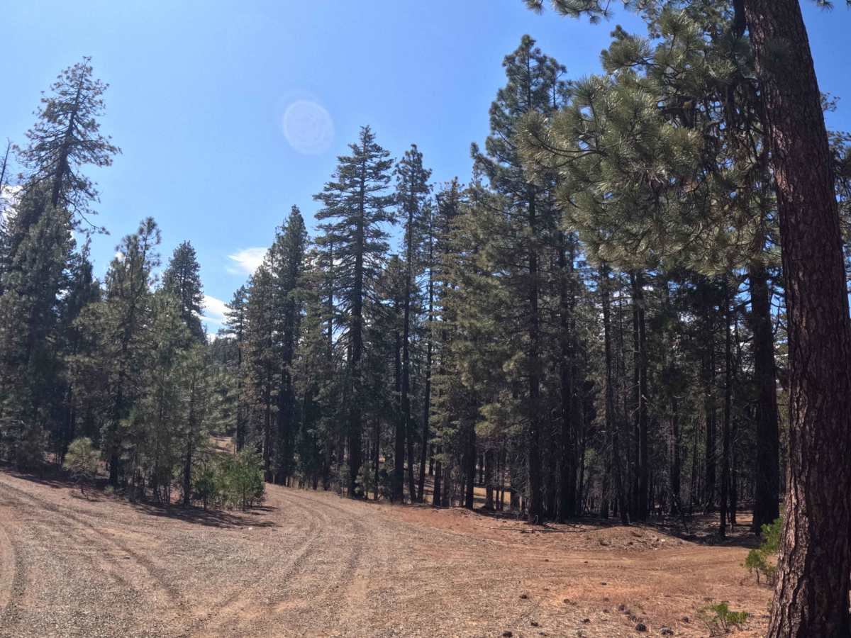
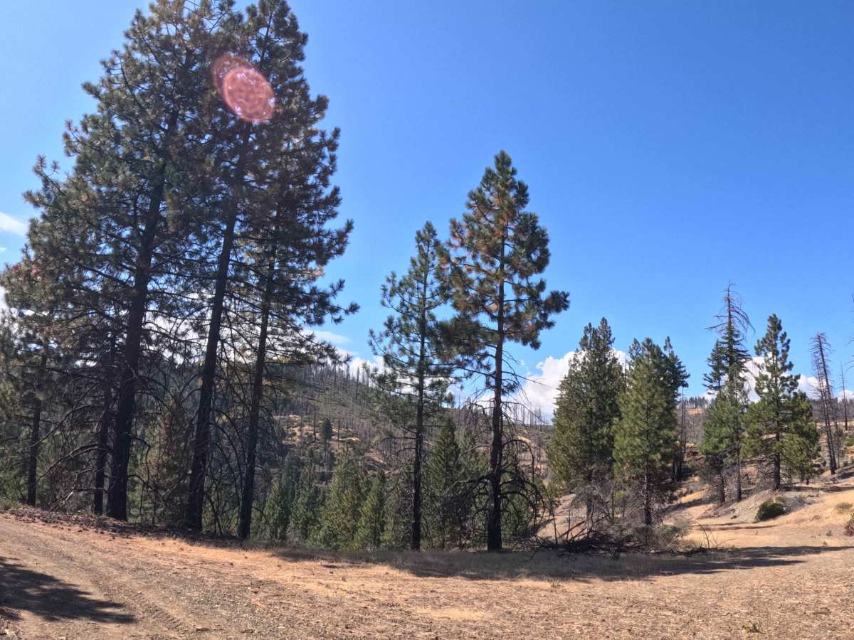
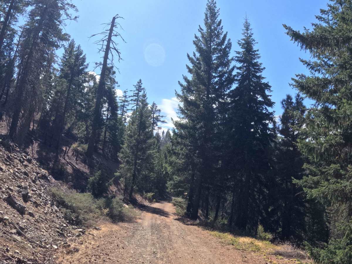
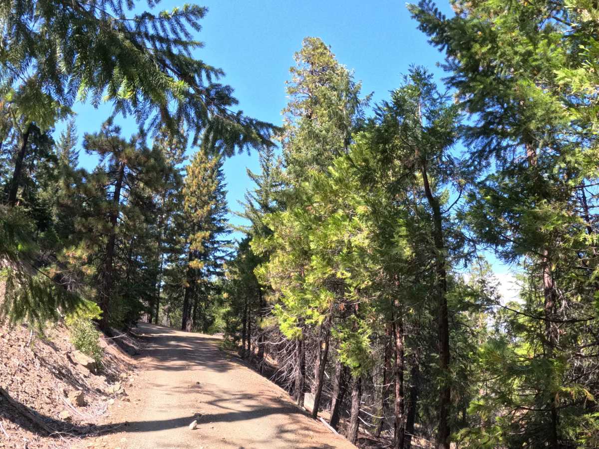
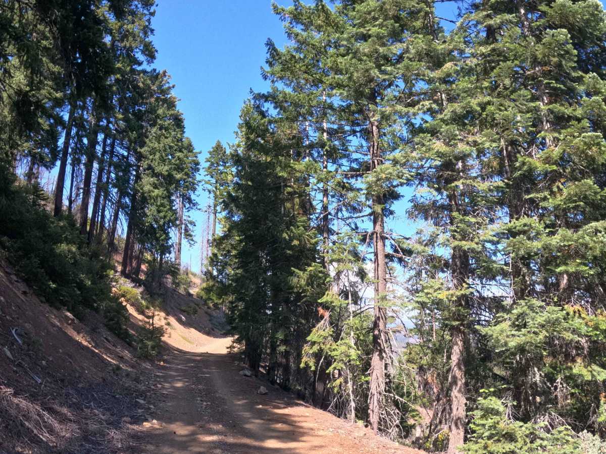
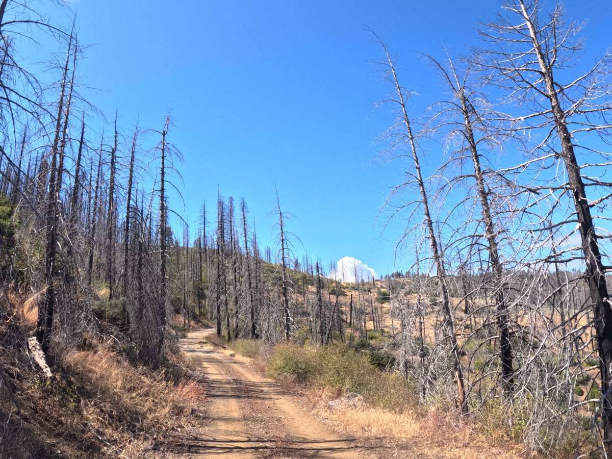
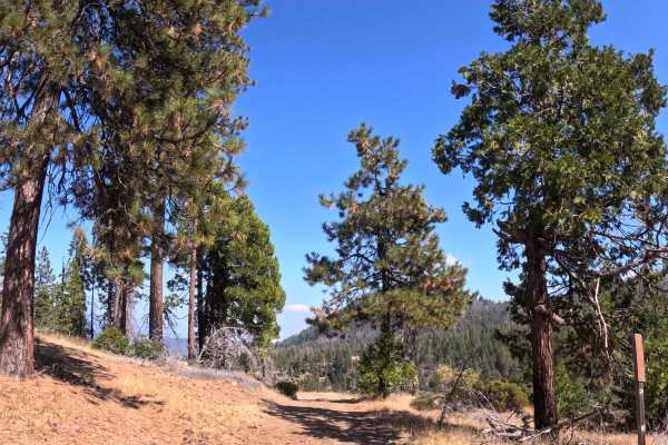
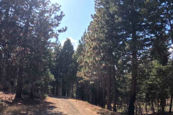
Forking west from the FS 28N64 junction, Middle Fork (FS 28N15) initially serves as a point-to-point gravel transit, though recent deadfall temporarily forces the route to function as a truncated out-and-back spur. The pathway cuts through the rugged hillsides of the Trinity National Forest, showcasing a stark transition between dense, healthy pine stands and heavily burned landscapes actively recovering from the 2021 McFarland Fire. The driving surface consists of a narrow, single-track gravel road holding a highly accessible Grade 1 difficulty rating. Geographically, the trail loses elevation steadily as it drops into the valley, crosses the flowing waters of Middle Fork Beegum Creek, and climbs back up the opposing hillside. Backcountry explorers primarily use this corridor to access the creek valley and link up with several intersecting alternative trails branching deeper into the wilderness. Because this route networks with other active paths, drivers should remain alert for oncoming recreational traffic and local hikers. Currently, the journey is cut unexpectedly short by a massive downed tree completely barricading the thoroughfare, requiring visitors to reverse course.
Difficulty
Drivers will find a highly forgiving, Grade 1 driving surface along this single-track gravel route. Formidable off-road hazards such as deep mud bogs, intimidating rock gardens, or perilous shelf drops are entirely absent from the traversable portion of the road. Operators must simply manage a steady ten-percent grade variation as the trail dips down to the creek and climbs back out of the drainage. The surrounding corridor is widely cleared of encroaching brush, ensuring that foliage rub and pinstriping are not a concern. The only significant obstacle is the large fallen tree that terminates the path prematurely. Under normal, dry seasonal conditions, any standard passenger vehicle boasting basic factory ground clearance can comfortably manage the valley descent and safely reach the blockage.