Trail Overview
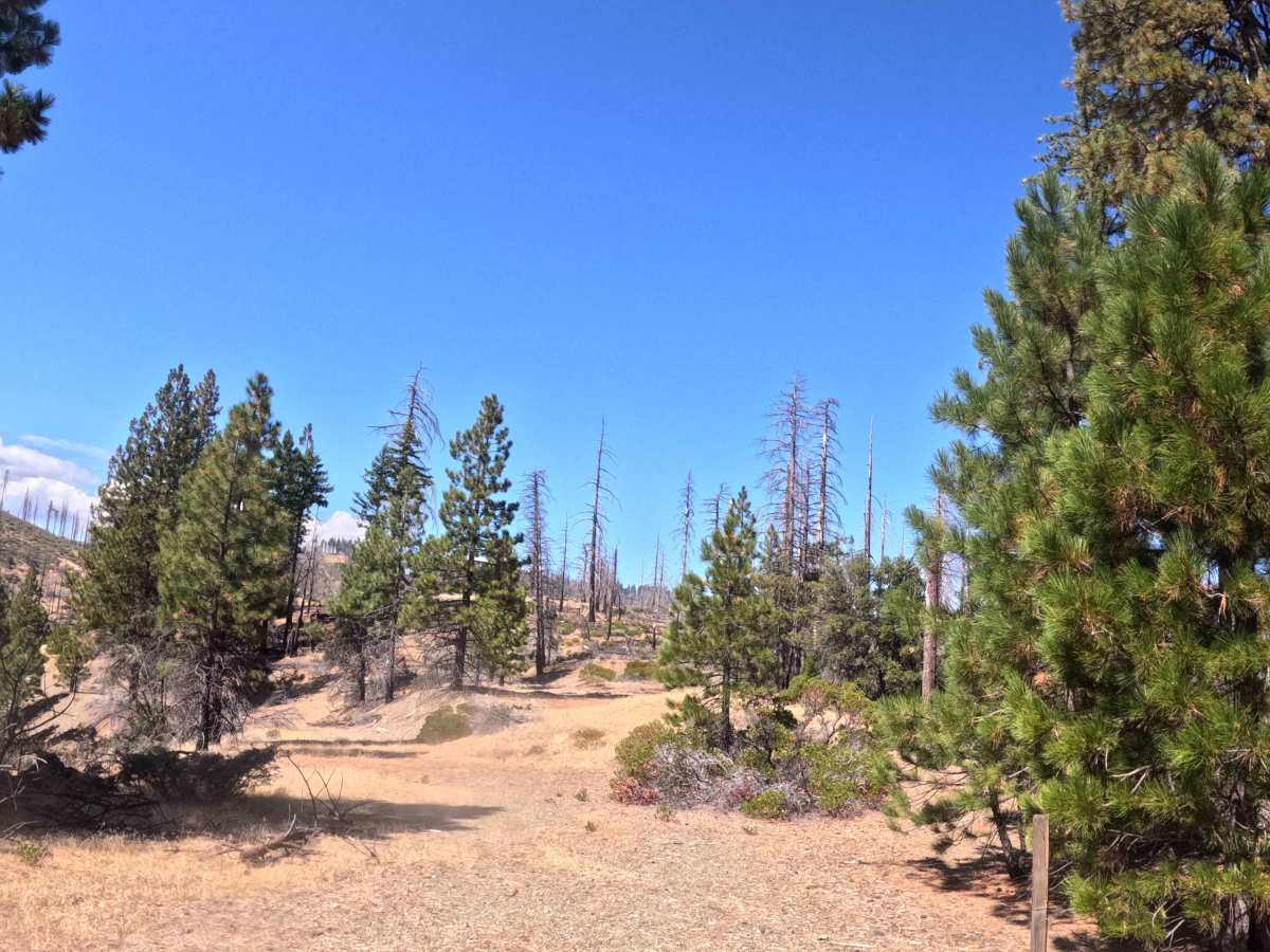
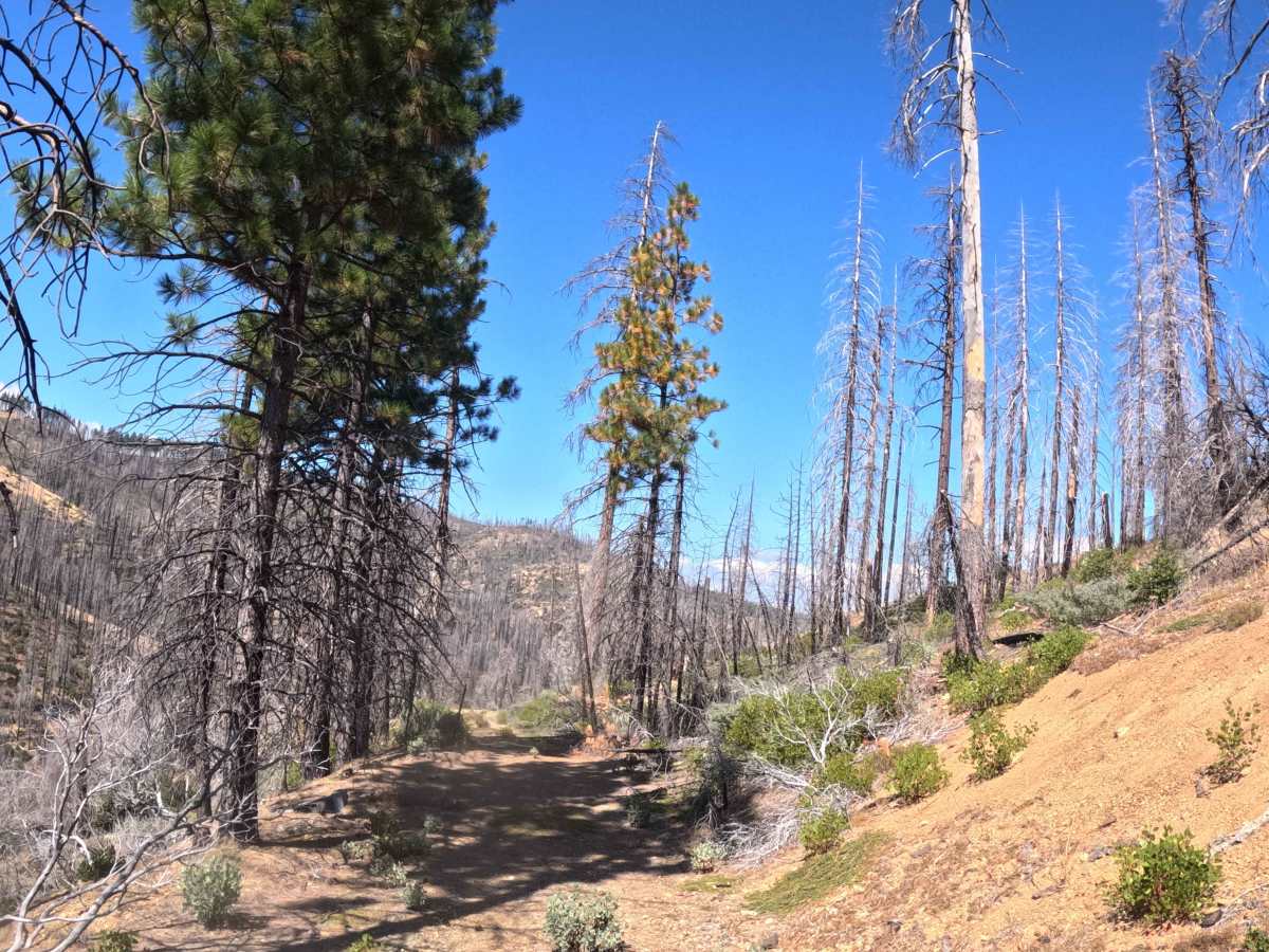
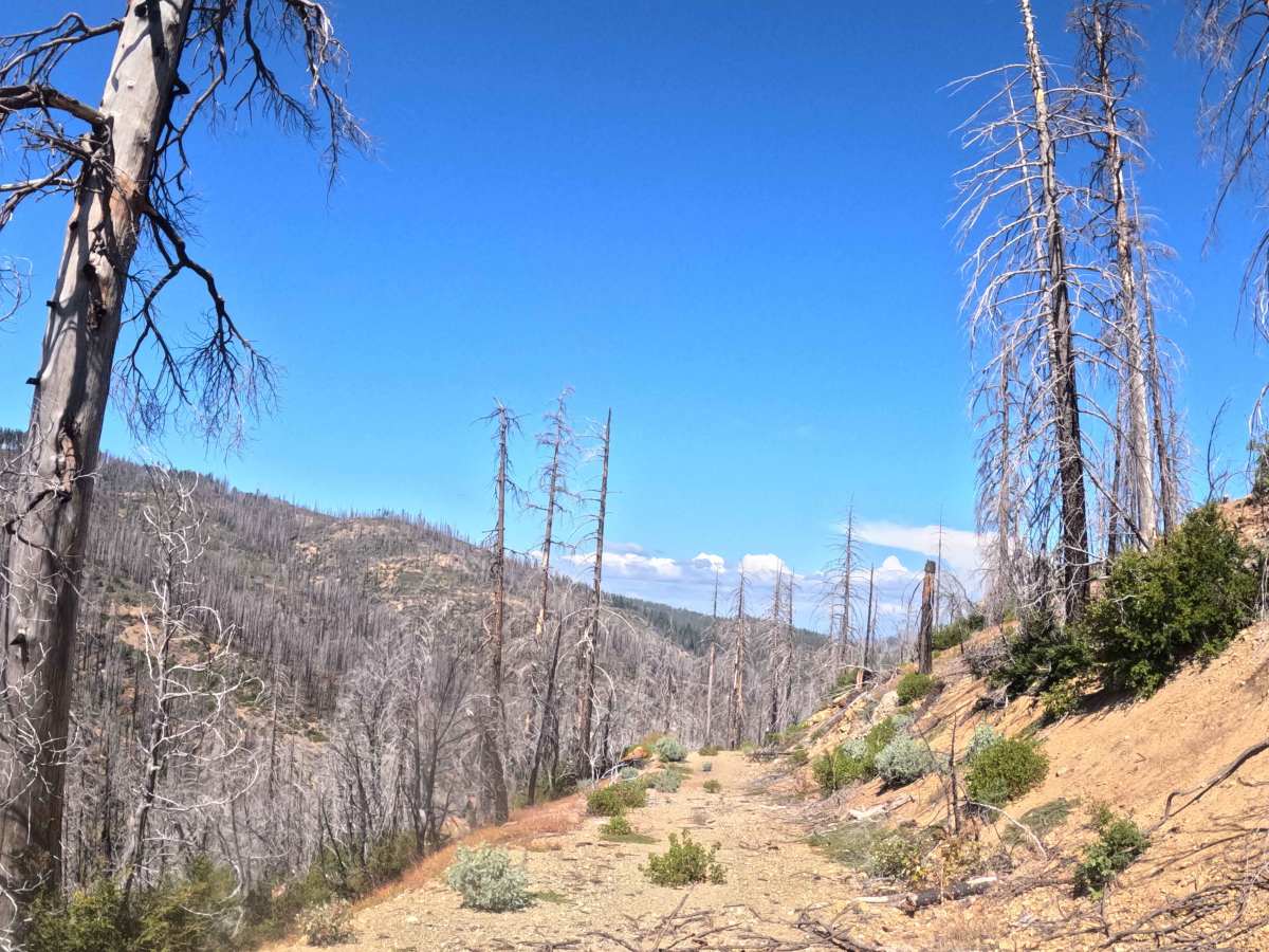
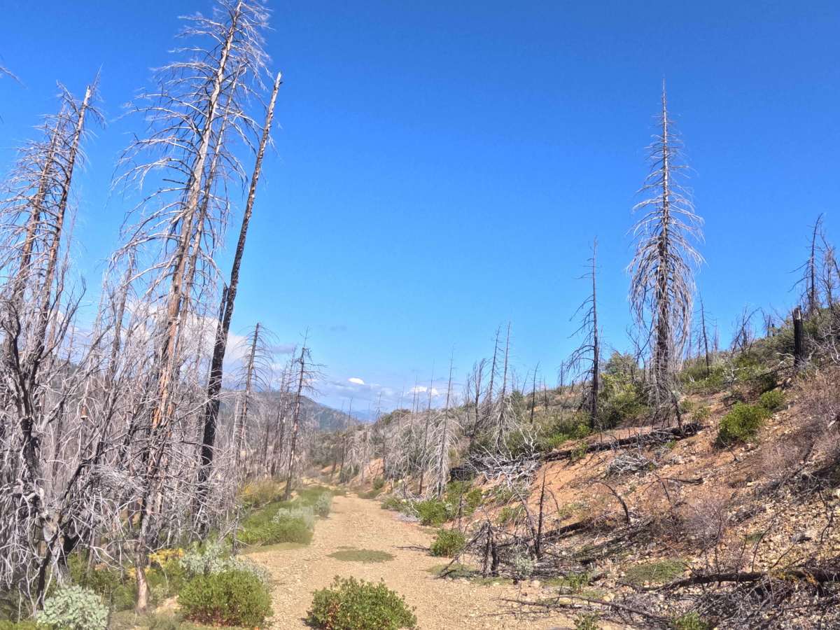
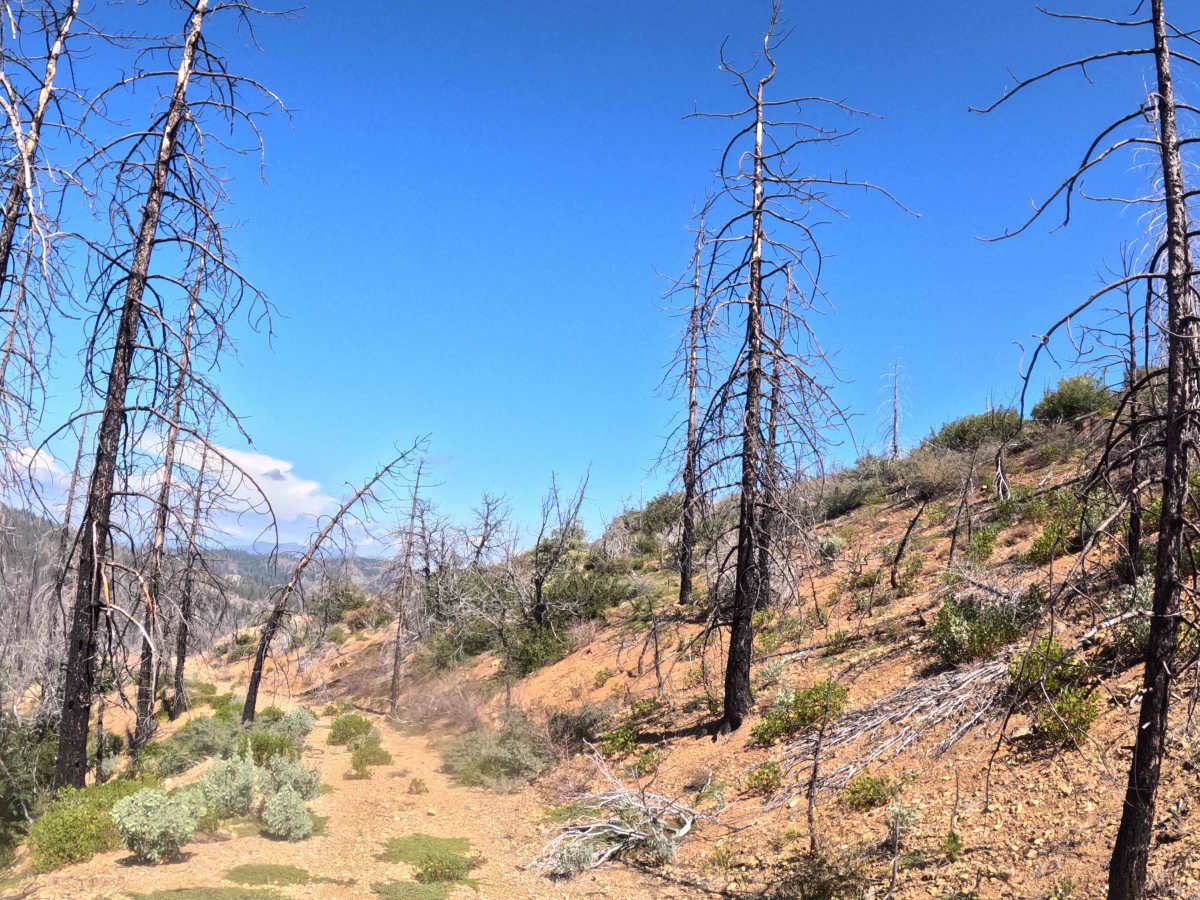
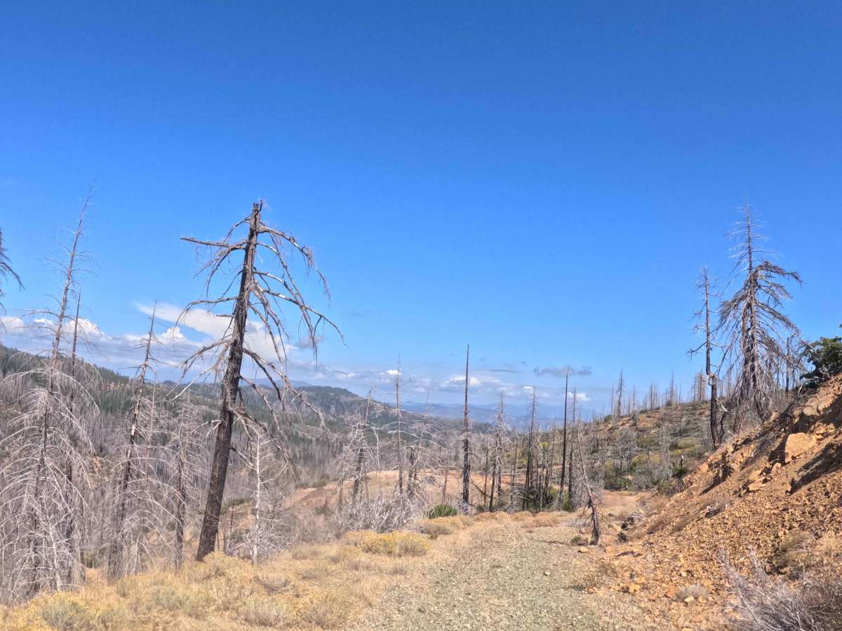
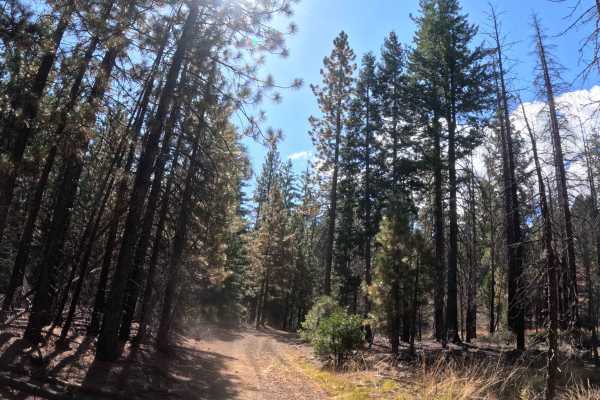
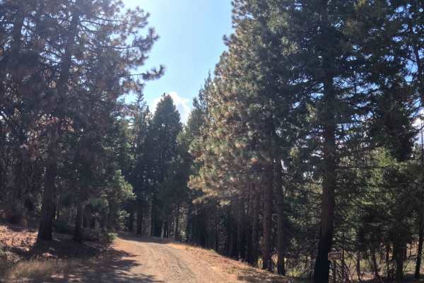
Forking north from the main FS 28N15 transit, Middle Fork Spur A (FS 28N15A) functions as an isolated, single-track out-and-back shelf-road that pushes deep into the rugged hillsides. The route travels through a heavily fire-scarred section of the Trinity National Forest that is actively recovering from the devastating 2021 McFarland Fire, leaving a stark landscape of towering blackened snags and dense, regenerating understory brush. Because this dead-end path sees virtually no regular traffic, backcountry explorers occasionally utilize the corridor to find complete isolation or explore the recovering wilderness far away from established recreational sites. Operating as a narrow, single-track gravel path, this spur carries a moderate Grade 2 difficulty rating. As the trail traces the contours of the mountain, it consistently alters elevation along a ten-percent grade variation. About halfway through the journey, the path becomes increasingly choked with heavy forest overgrowth, requiring drivers to press through the reclaiming vegetation and carefully drive over several small downed logs scattered across the trail. The route officially terminates where historical land development ceased, fading completely into impassable forest overgrowth and forcing travelers to execute a tight turnaround.
Difficulty
The moderate Grade 2 difficulty rating assigned to this single-track gravel spur is due to its extremely tight spatial constraints and persistent debris rather than any severe technical terrain. While extreme rock crawling and deep mud pits are completely absent, operators must contend with a narrow shelf-road layout featuring a steady ten-percent grade variation. The most notable challenges begin halfway down the trail, where a complete lack of recent maintenance results in heavy overgrowth that guarantees significant foliage rub and pinstriping along the vehicle's exterior. Additionally, drivers will need to carefully roll over several small, bucked logs that have fallen across the dirt path. Because the corridor is exceptionally constricted and choked with aggressive brush, wide full-size rigs and vehicles towing trailers should absolutely avoid this route. Standard ground clearance is sufficient to clear the small logs, provided the operator is willing to endure the heavy brush contact required to reach the end of the line.