Trail Overview
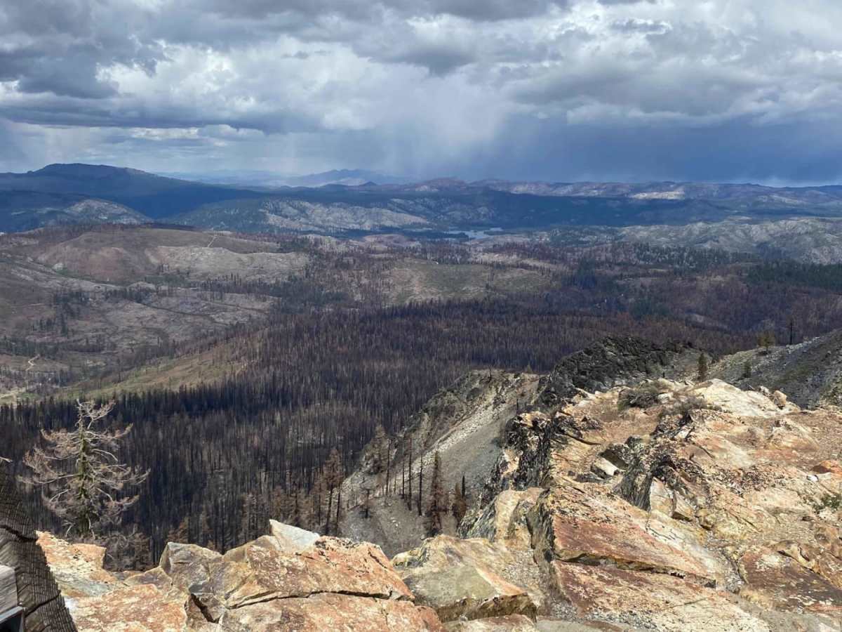
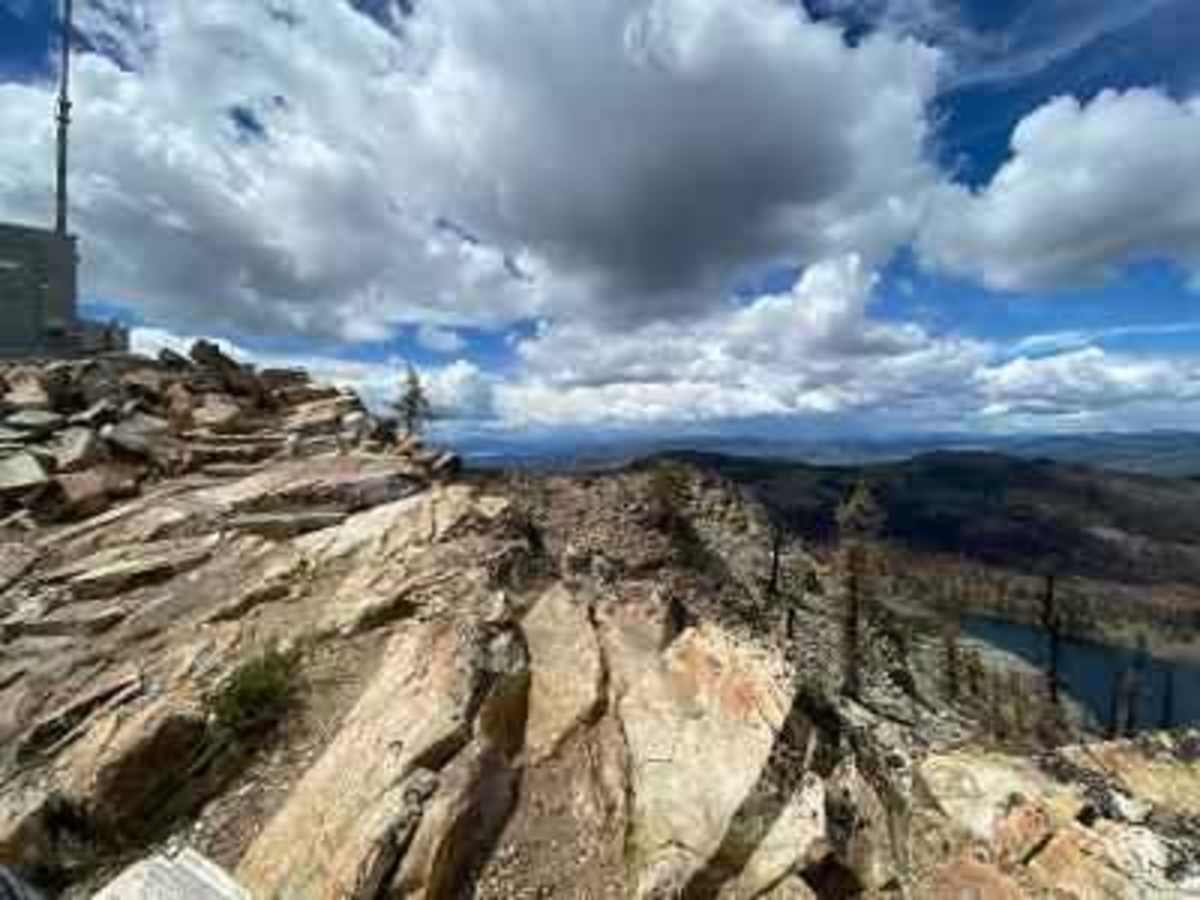
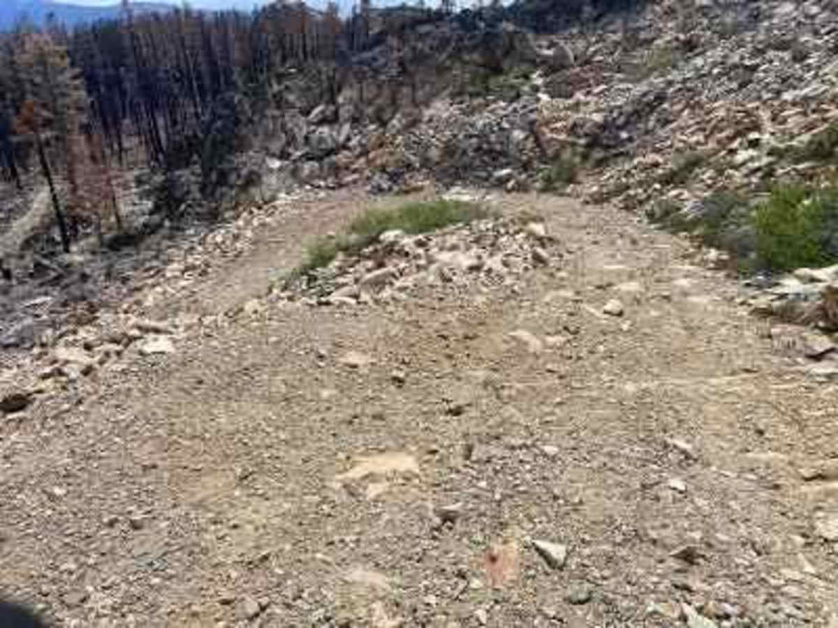
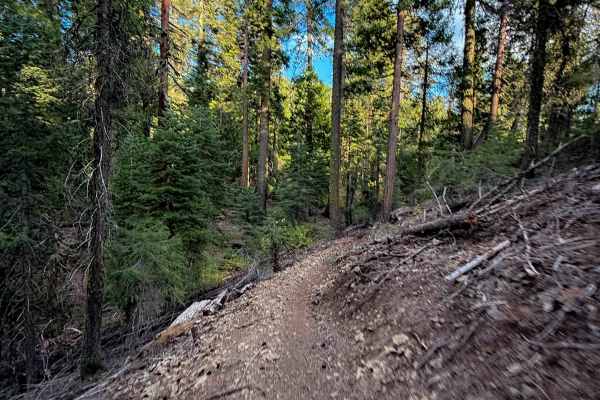
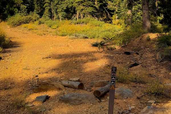
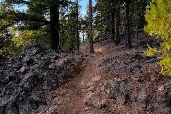
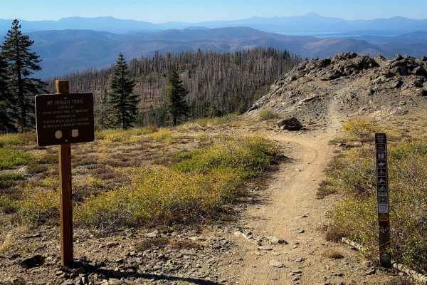
The Taylor Lake/Lucky S Mine/Kettle Rock Lookout Loop is a scenic, moderately challenging 18.9-mile adventure in the Plumas National Forest that is perfect for four-wheel-drive vehicles, OHVs, and SxSs looking to combine historic exploration with high-elevation vistas. Offering a technical rating of 3, the loop climbs approximately 2,986 feet through a diverse landscape of smooth flowing dirt sections, loose rocky climbs, and hard-packed rock roads. Navigating this trail takes drivers from a starting elevation of 6,076 feet up to a peak height of 7,834 feet, with a maximum slope gradient of 22 degrees. High-ground clearance is highly recommended, especially on the rugged, hard-packed rock trail leading up to and past the pristine waters of Taylor Lake. Along the way, the steep, loose-rock road up to the Kettle Rock Lookout requires careful tire placement and steady traction.
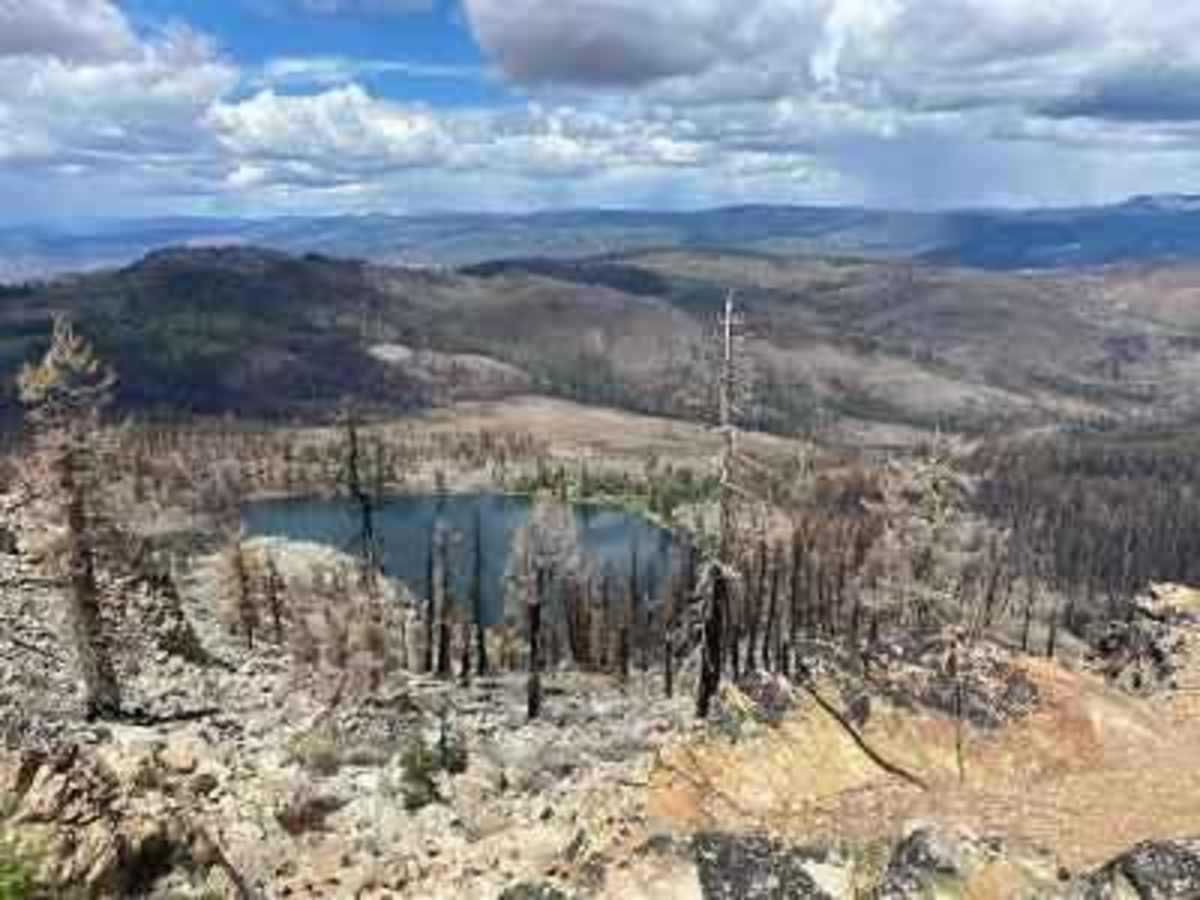
Beyond the scenic mountain peaks like Rattlesnake Peak and Elsenheimer Peak, this route offers excellent spots to stop, with Taylor Lake providing an ideal midday destination for swimming, fishing, or enjoying lunch by the water. History enthusiasts can explore the remnants of the Lucky S Mine, an active copper mine in the early 1900s featuring several intact buildings and tailings. Be prepared for a 100-yard section near the mine that is prone to becoming muddy and deeply rutted, along with seasonal low water crossings elsewhere on the route. To reach the trailhead from Taylorsville, take Nelson Street north to North Valley Road, turn left, and veer right onto North Arm Road in a quarter-mile. After a little over 1.5 miles, turn right onto Beardsley Grade, a dirt road, and proceed 8.5 to 9 miles up to the Lucky S Mine turnoff, where there is ample room to park a rig and trailer.
History
The Lucky S Mine along the route was an active copper mine in the early 1900s. Several intact buildings and tailings remain visible at the site for exploration.