Trail Overview
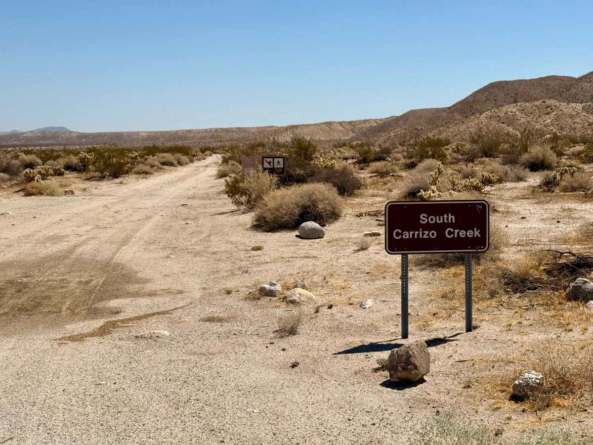
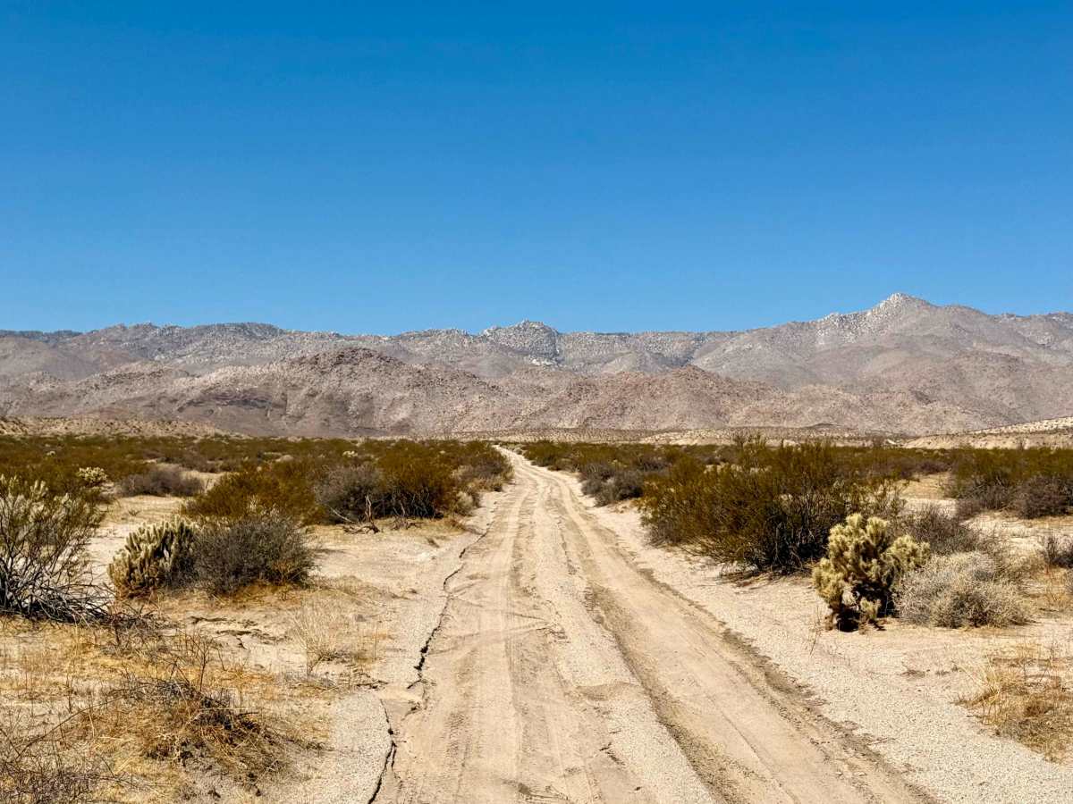
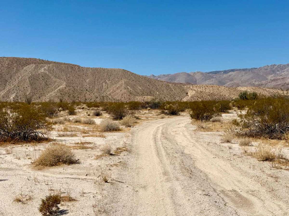
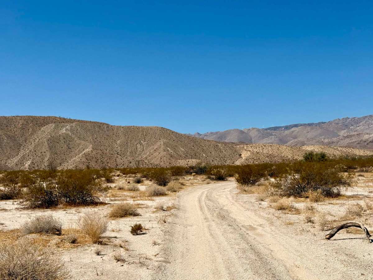
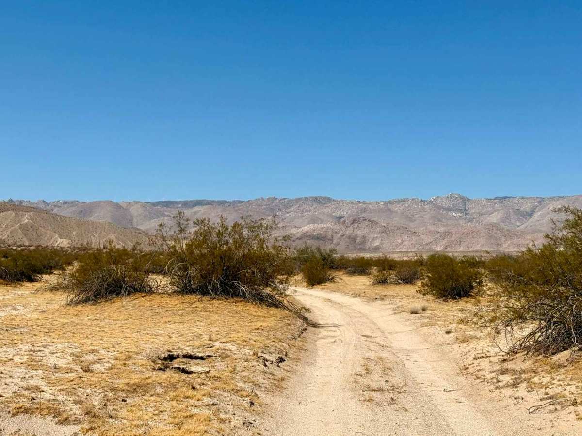
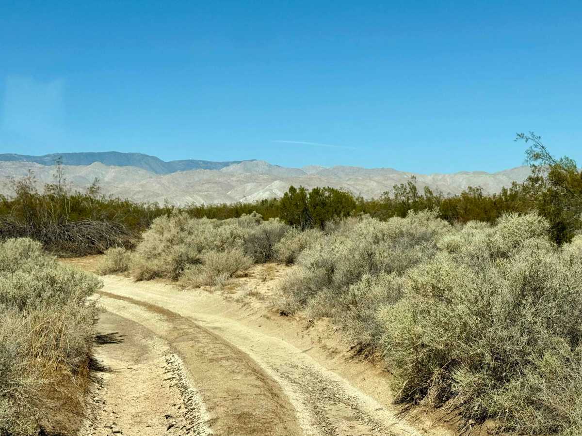
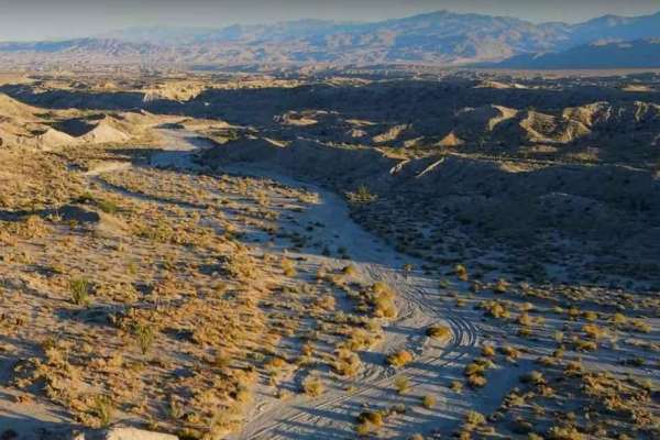
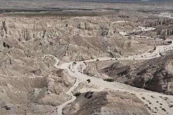
This flat trail connects Sweeney Pass Rd (S2) to the Vallecito Creek and Carrizo Creek trails. From S2, the trail starts off dusty and sandy and leads to a tamarisk grove where people have picnicked and camped. The trail becomes more rutted with close vegetation further east, and terminates at the intersection with Bow Willow Wash Road, which continues onward to Vallecitos / Carrizo / Arroyo Seco del Diablo / Canyon Sin Nombre trails.
Difficulty
Flat and dusty, with some rutted areas and overgrown vegetation. Soft sand may be present, and airing down is recommended, especially if continuing onward along Bow Willow Wash / Arroyo Seco del Diablo / Vallecitos / Carrizo Creek.
History
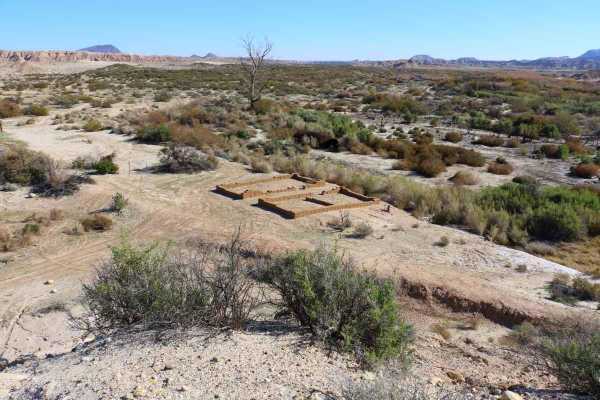
The trail closely follows the Southern Overland Trail and Butterfield Stage Route. Towards the eastern end of the trail, a historic well marked by a steel cap represents an important draw of the trail: water.
Access Description
All vehicles operating within Anza-Borrego Desert State Park must be highway-registered and street-legal; non-street-legal OHVs, ATVs, and non-street-legal SxSs are strictly prohibited. Visitors must stay within the designated wash beds to avoid illegal incursions into the adjacent protected Wilderness Areas.