Trail Overview
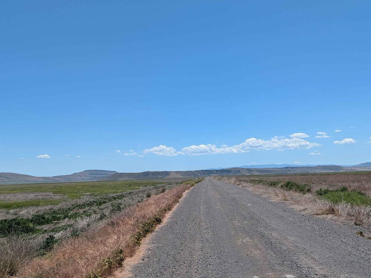
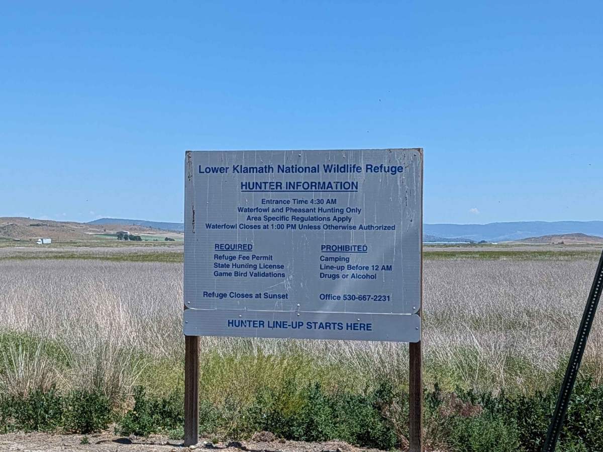
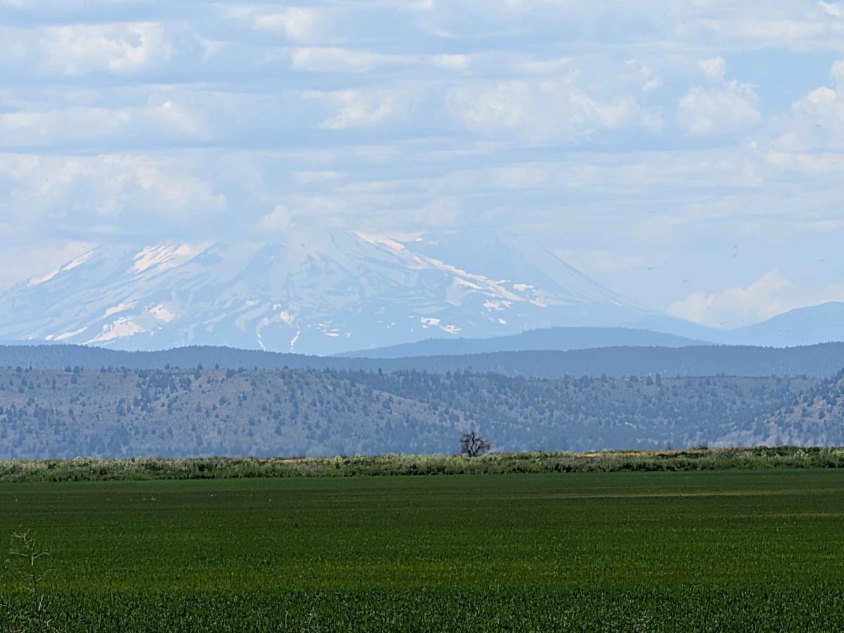
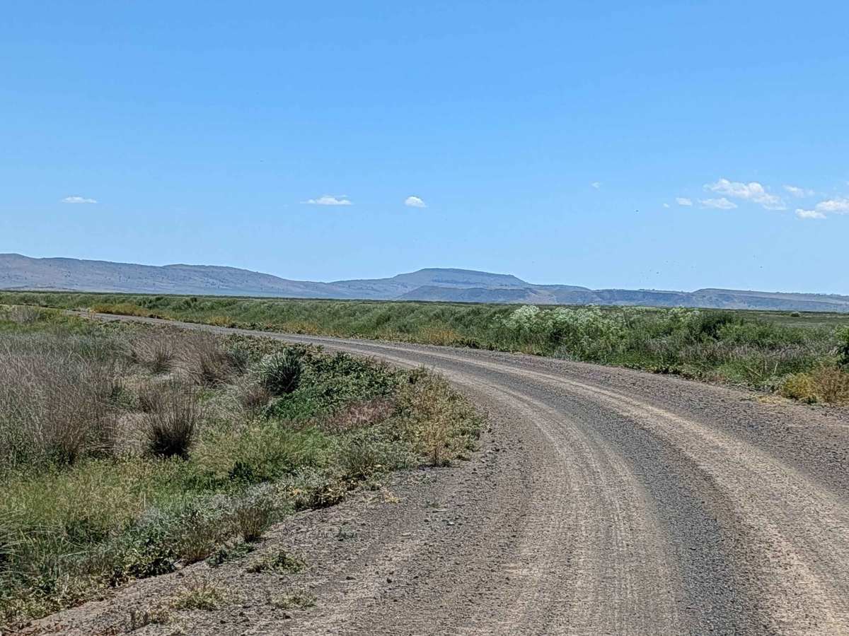
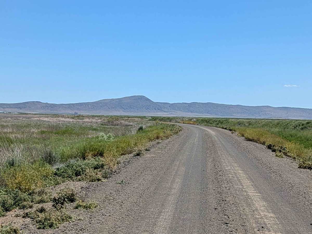
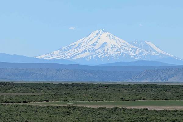
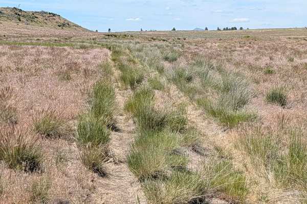
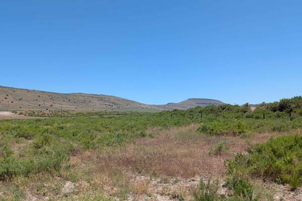
This route serves as a functional and scenic corridor cutting through the Lower Klamath National Wildlife Refuge. Designed primarily to provide access for waterfowl hunters to the refuge and the northern reaches of the Modoc National Forest, the trail offers a direct line of sight into the diverse wetland ecosystems of the region. Throughout the drive, travelers are treated to expansive, unobstructed views of the surrounding mountain ranges, with the majestic peak of Mount Shasta often serving as a focal point on the horizon. The route provides a unique perspective of both the managed refuge waterways and the rugged volcanic terrain that characterizes the wider area. It is also an access trail to get to other trails past the refuge.
Difficulty
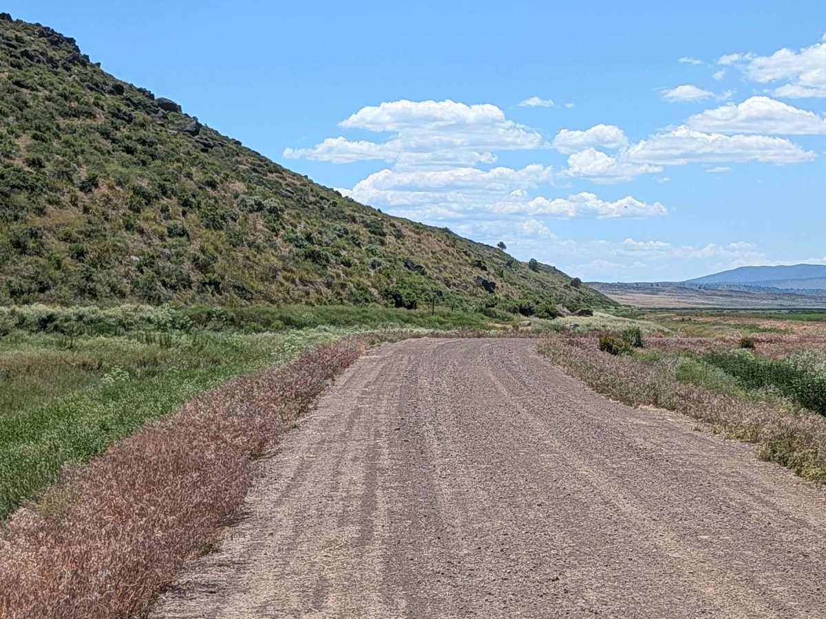
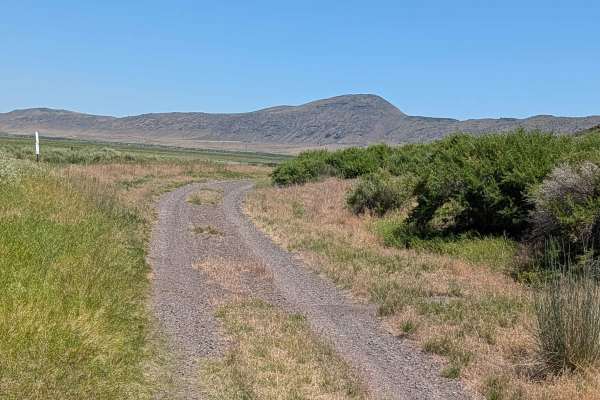
While rated as an easy, entry-level path, the trail’s shelf-road configuration demands consistent driver attention. The surface consists of hard-packed dirt that is approximately one and a half vehicles wide; however, because it runs along a shelf with steep drop-offs into an adjacent canal, precision is necessary to maintain a safe distance from the edge. The trail is notorious for being very dusty, which can severely limit visibility for trailing vehicles—caution and increased following distance are required. Additionally, the route can experience high traffic volumes during the active hunting season, requiring extra awareness of oncoming vehicles.

 Offroad