Trail Overview
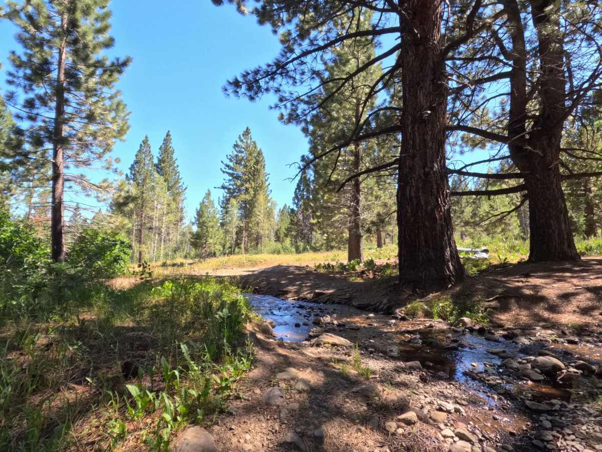
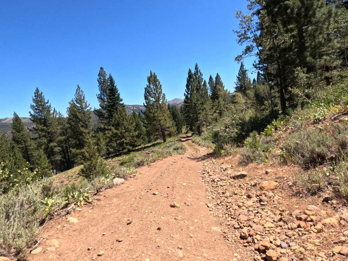
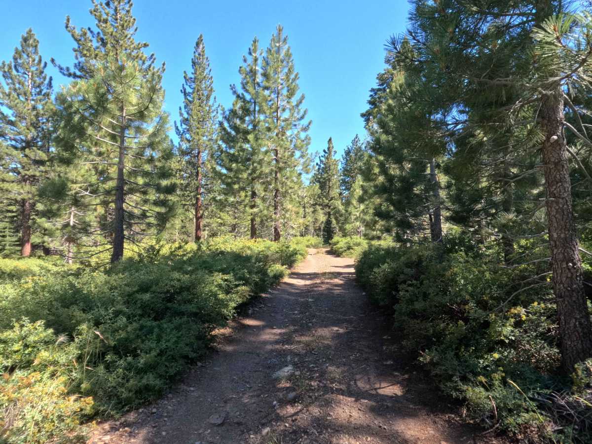
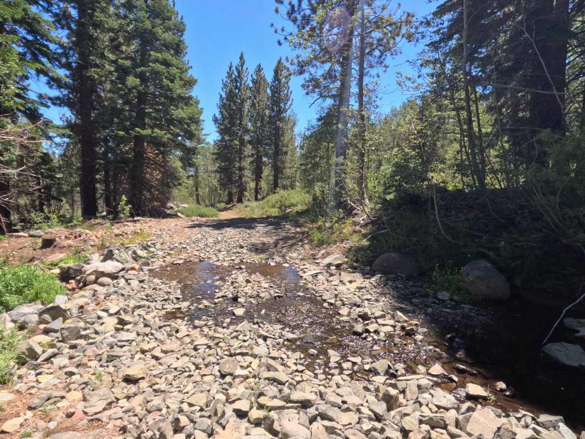
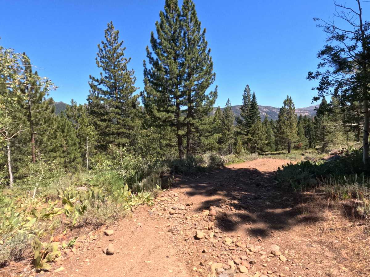
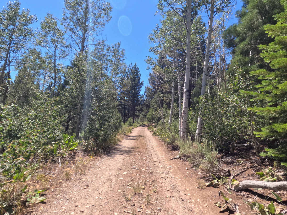
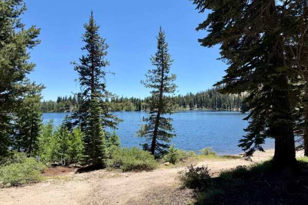
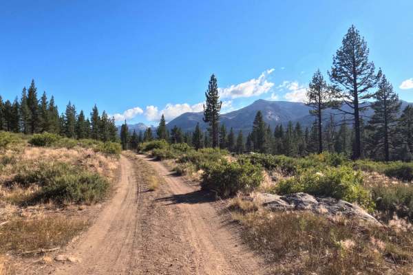
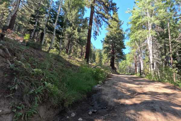
Set within a lush high-alpine environment of towering conifer timber, willow-lined creek corridors, and leafy aspen groves in the Humboldt-Toiyabe National Forest, Scotts Trail (FS 21565) offers an engaging mountain connection. Accessed off forest service routes near the Highway 88 corridor, this 2.4-mile single-lane connector path traverses varied backcountry terrain to provide throughput deeper into the forest toward the Highway 88 Trail. Public land visitors frequently utilize this route for primitive dispersed camping, stream fishing, or accessing scenic backcountry hiking spots around Scotts Lake. The driving surface consists of a narrow single-track dirt road featuring loose cobbles, rock-armored erosion patches, and unbridged stream crossings, earning a technical Grade 3 difficulty rating. Departing the main access point, the track winds through tight aspen groves where overhanging branches brush against vehicle sides. The most technical stretch involves a 0.1-mile steep grade marked by loose rock and heavy side erosion, followed by several shallow stream crossings up to 8 inches deep. The trail ends past a final creek crossing featuring a steep, offset exit bank that requires mindful wheel placement.
Difficulty
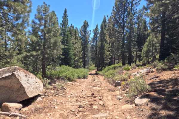
Earning a technical Grade 3 difficulty rating, this narrow single-lane route presents notable clearance, traction, and line-selection challenges. Primary obstacles visible along the track and in photos include a 0.1-mile steep, eroded pitch with deep side washouts and loose rock, unbridged creek crossings filled with cobble armor up to 8 inches deep, and a final stream crossing with a steep, offset bank. Drivers should maintain a slow, controlled crawling speed, select high lines around side washouts, and carefully judge approach angles when exiting stream banks to prevent underbody or bumper contact.