Trail Overview
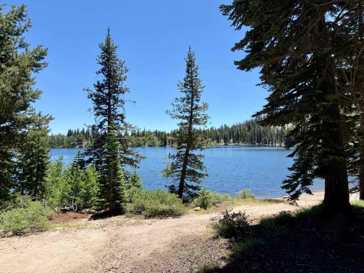
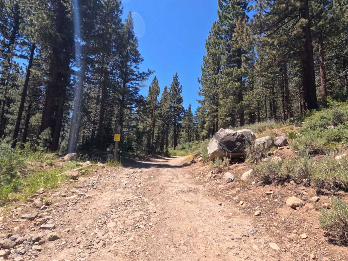
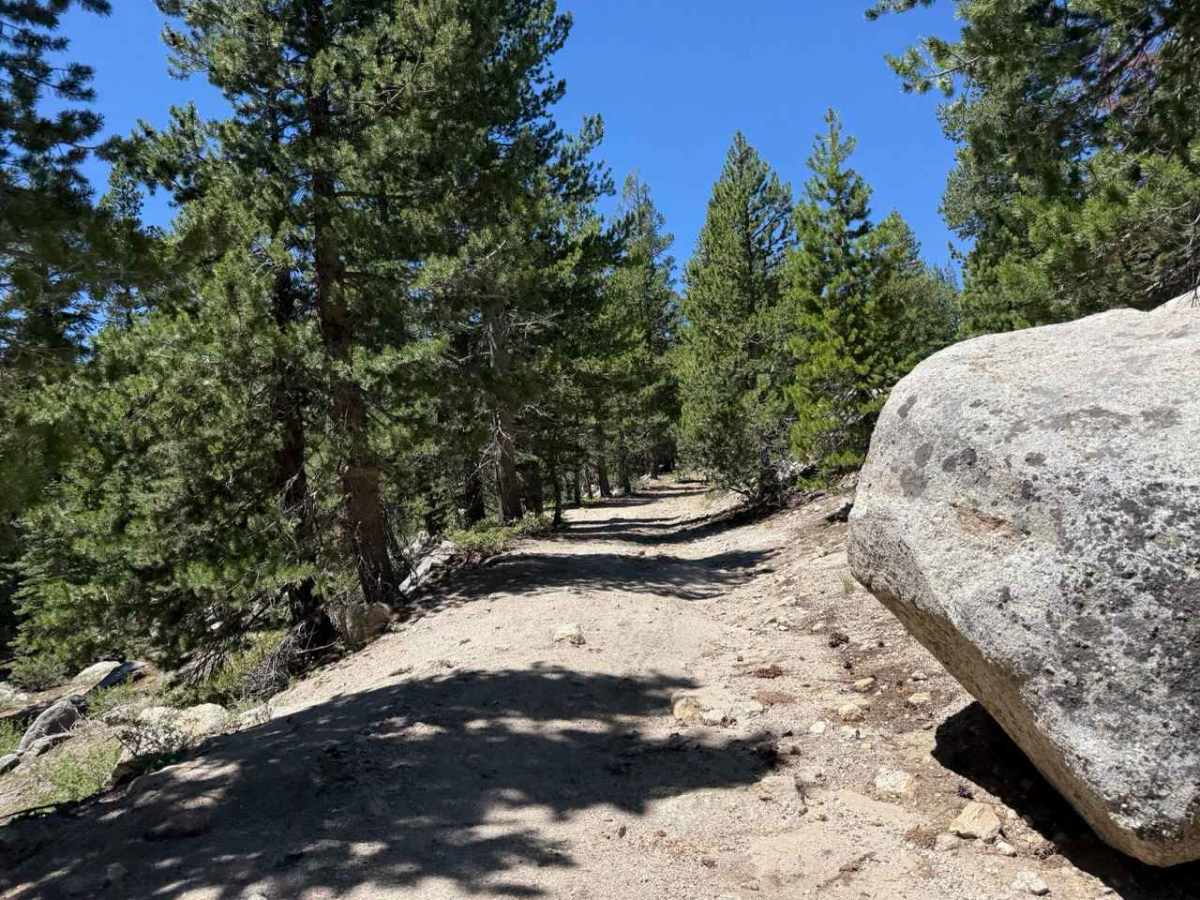
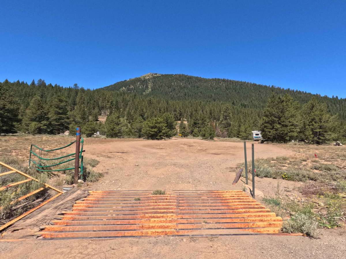
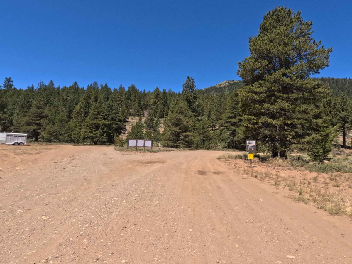
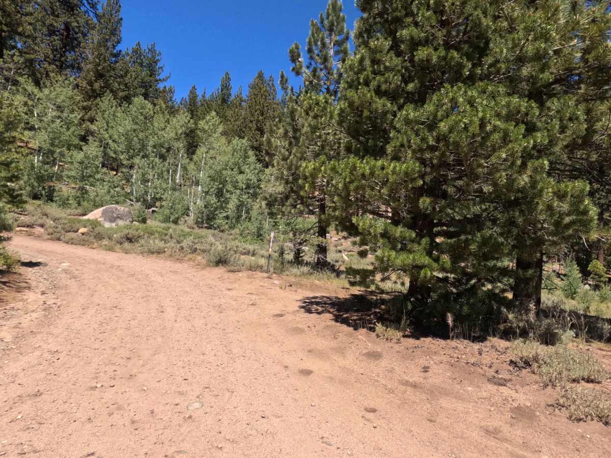
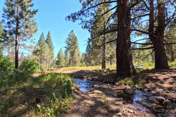
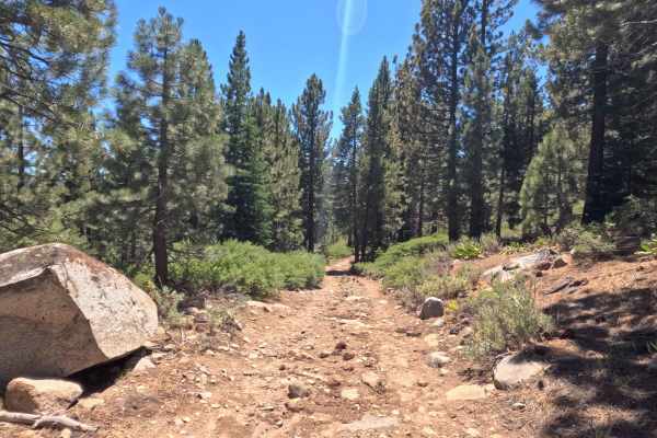
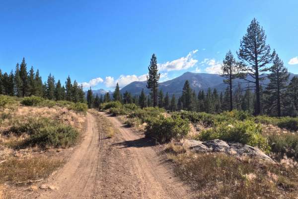
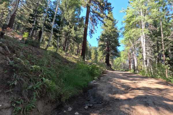
Set within a picturesque alpine conifer forest intermingled with aspen stands and mountain meadows managed by the Humboldt-Toiyabe National Forest and the Lake Tahoe Basin Management Unit (LTBMU), Scotts Lake Road (FS 31079) offers a scenic high-country mountain drive. Accessed directly off California Highway 88 over an entry cattle guard, this 3.1-mile single-lane spur operates as an out-and-back route leading past Scotts Lake before terminating at the LTBMU boundary line. Outdoor enthusiasts, anglers, and equestrians travel this road to locate prime dispersed camping sites around the lake, launch non-motorized watercraft, or access the Scotts Lake Trail for wilderness hiking. The driving surface consists of a single-track hard-packed dirt road embedded with granite cobbles and rock-armored water erosion fills, earning a Grade 2 difficulty rating. Departing the Highway 88 staging area, the track passes through an open gate and climbs smoothly under pine shade. Prominent earth humps cross the path—most notably near the curve between the two intersections with Scotts Trail (FS 21565). After reaching the main lake basin where established campsites border the shore, the final 0.1-mile stretch past the water narrows into a rocky single-track where a large granite boulder protrudes into the path, forcing a tight squeeze before reaching the terminal trailhead loop.
Difficulty
Earning a Grade 2 difficulty rating, this 3.1-mile mountain spur presents single-track width constraints, elevated earth humps, and a localized clearance pinch. Primary obstacles visible along the route include prominent dirt humps crossing the roadbed, rock-armored erosion patches, and a large granite boulder protruding directly into the right-of-way during the final 0.1 miles past the lake. Drivers should maintain a slow, controlled speed, ease carefully over elevated ground humps, and pick high tire placement lines. Those venturing past the lake to the LTBMU property line must carefully judge side clearance around the protruding boulder to prevent body panel or underbody contact.

 Offroad