Trail Overview
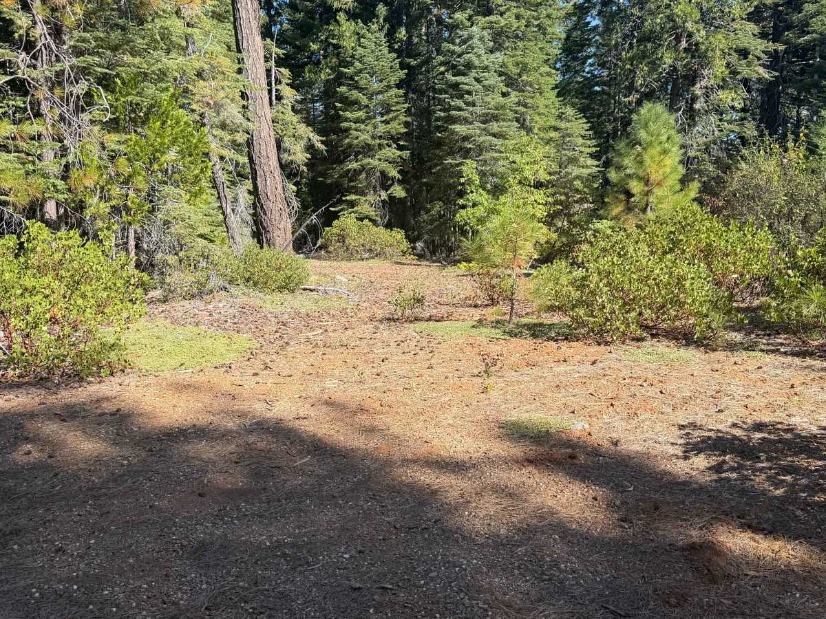
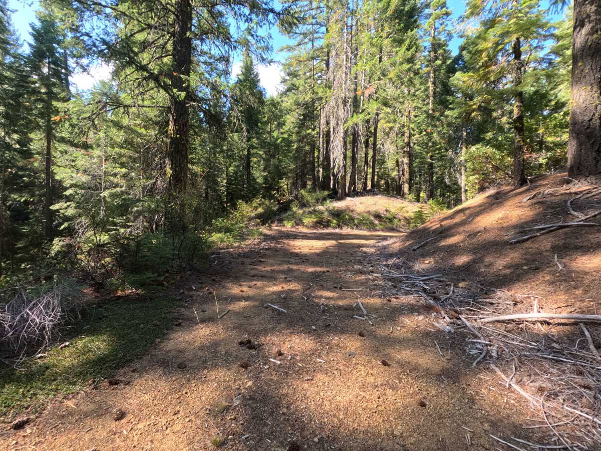
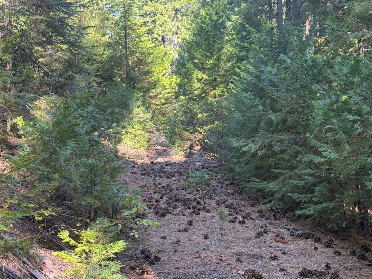
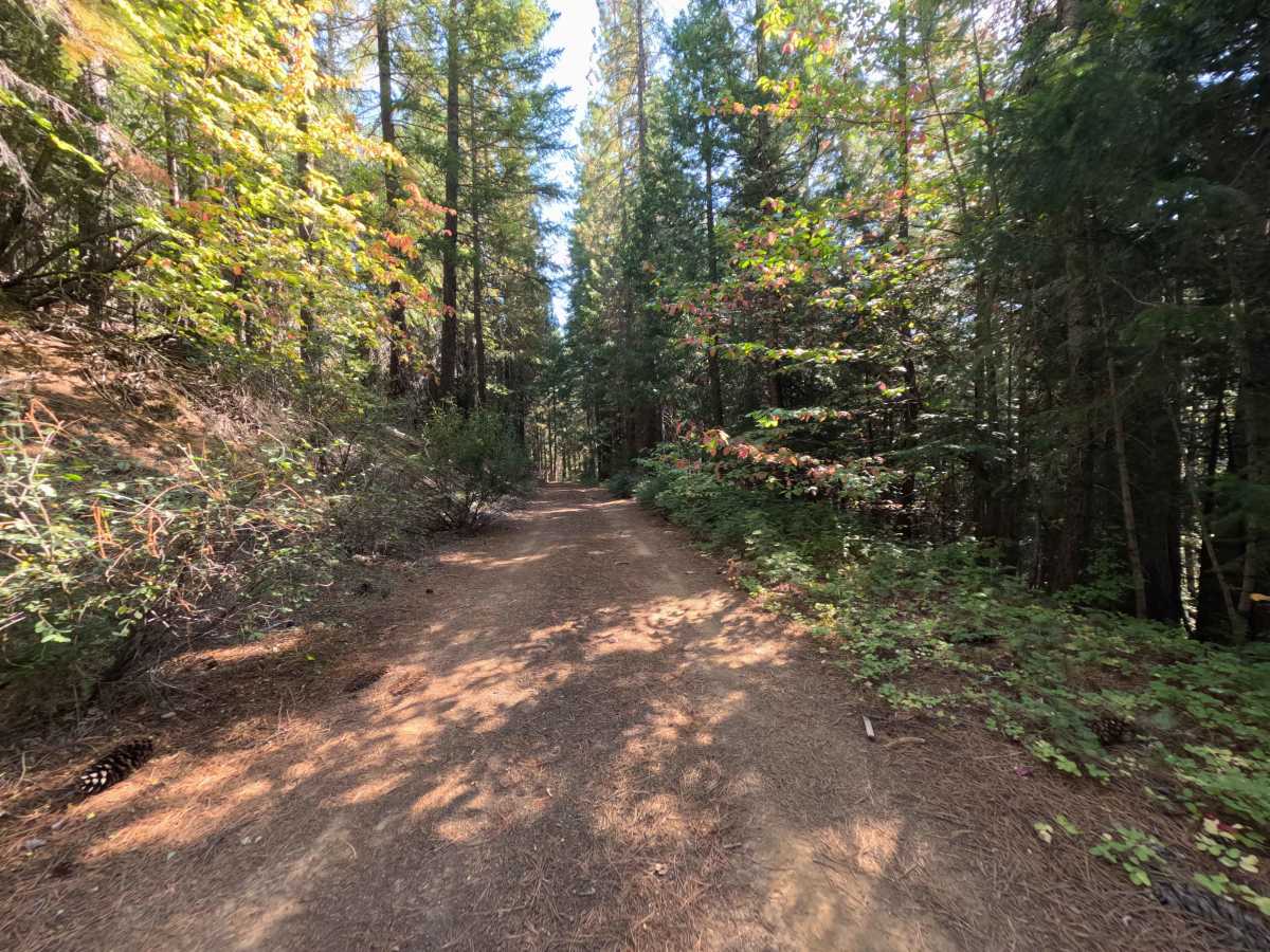
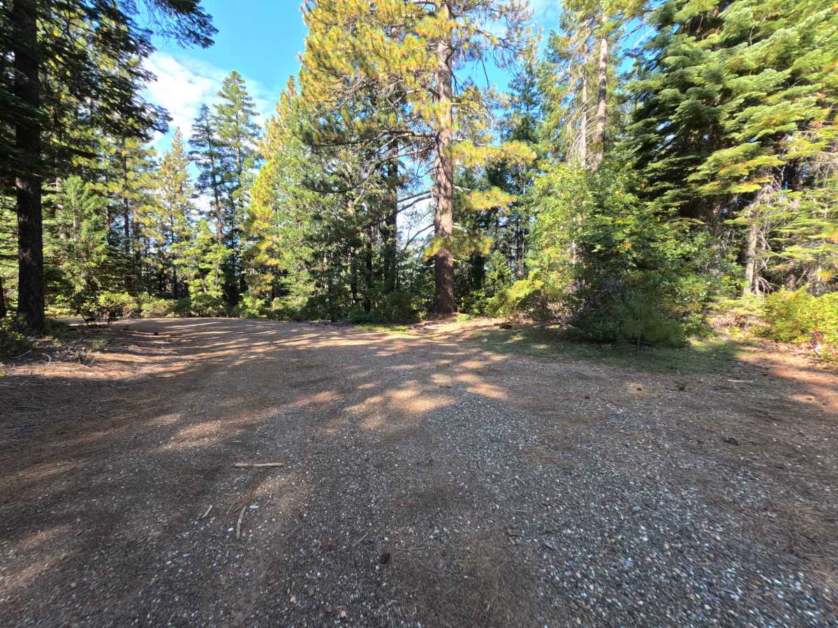
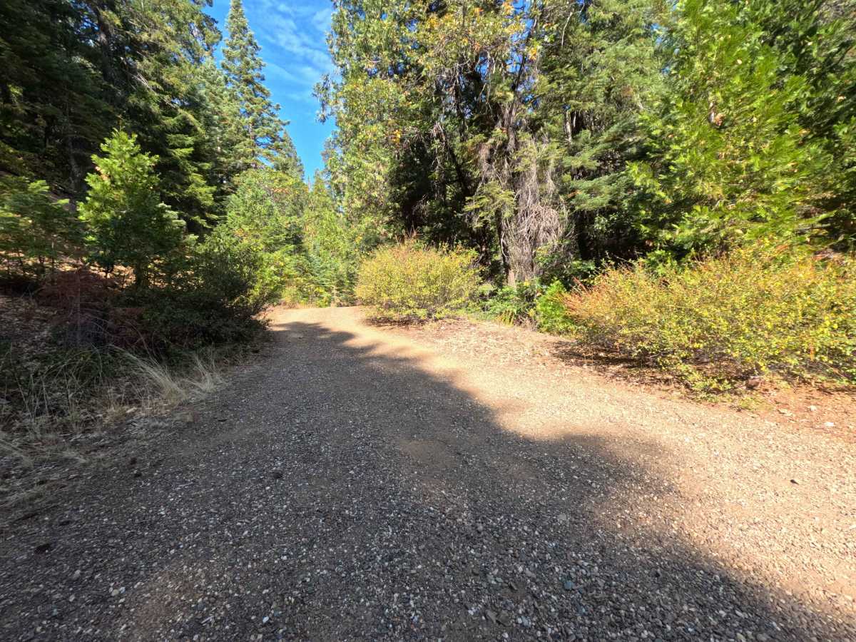
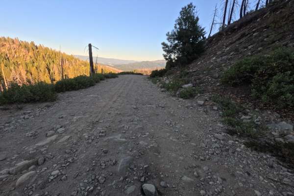
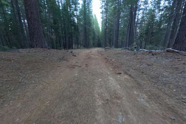
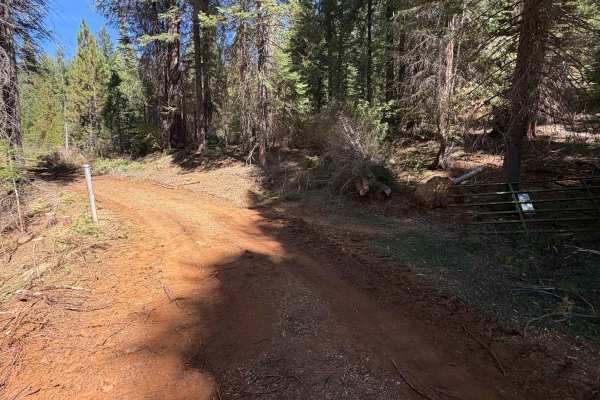
Winding its way upward through the verdant landscape of the Plumas National Forest, Schneider Creek Road (FS 23N16) serves as a lengthy and highly scenic connector route. The pathway traces a gentle incline, climbing steadily through a dense canopy of towering pines and a vibrant green coniferous understory until it eventually meets a large intersection along the prominent ridgeline. Outdoor enthusiasts primarily utilize this through-route for its exceptional dispersed camping opportunities. Scattered along the journey are numerous secluded clearings, repurposed old logging spurs, and spacious intersection pull-outs capable of hosting one to three vehicles for an overnight stay. One notable camping spur even offers highly desirable creek access for a refreshing woodland retreat. While there are no major established hiking trailheads located directly on this forest road, drivers must continually remain observant for campers, pets, and pedestrians exploring the woods near the various pull-offs.
Difficulty
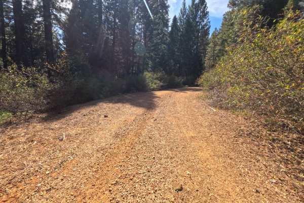
This extended forest journey earns a moderate difficulty rating of 2 due to a notable terrain feature along the way. The driving surface predominantly consists of a smoothly graded, hard-packed gravel and dirt single-track that is heavily blanketed with seasonal pine needles and occasionally bordered by tightly encroaching brush. However, travelers will encounter a sizable, diagonal rut spanning the width of the road near the midpoint of the route. This specific obstacle requires careful tire placement and necessitates additional ground clearance to safely negotiate without scraping. Field observations estimate a comprehensive travel time of one hour and nineteen minutes to complete the eight-point-eight-mile ascent to the ridge line.