Trail Overview
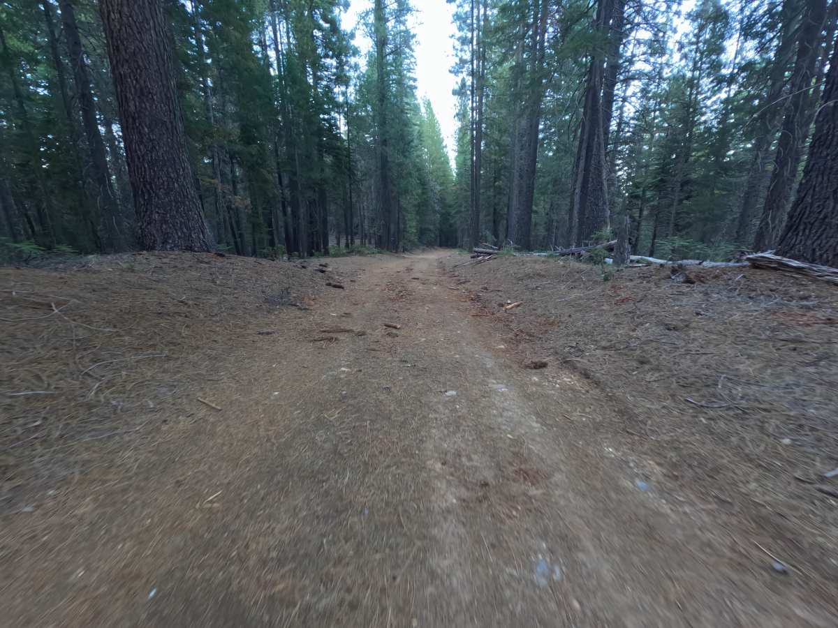
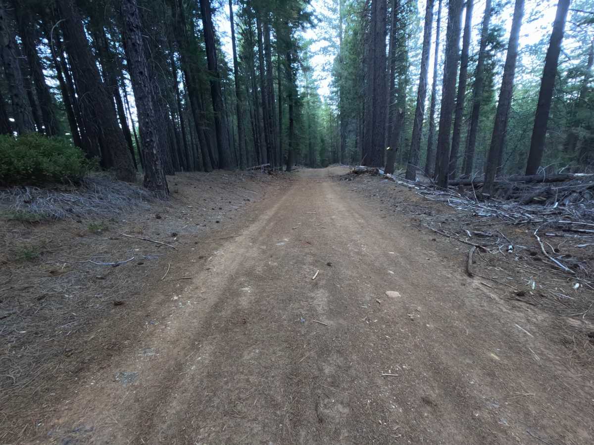
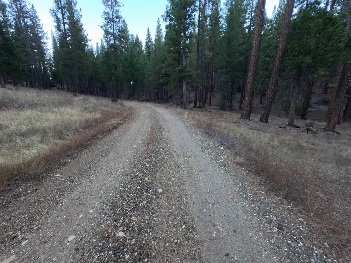
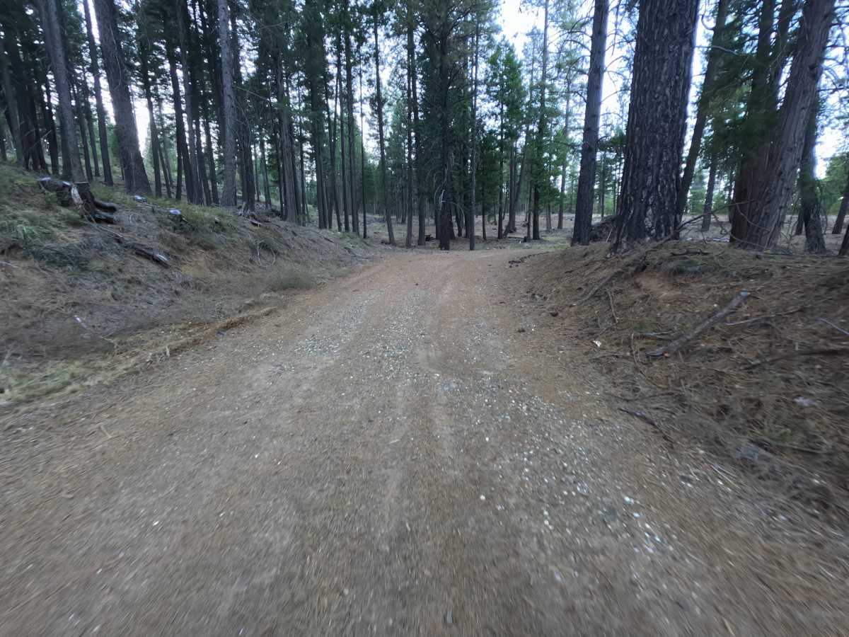
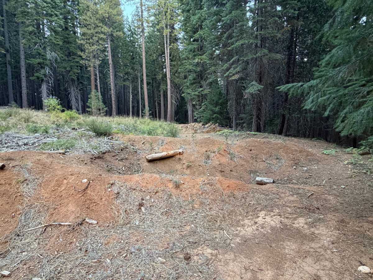
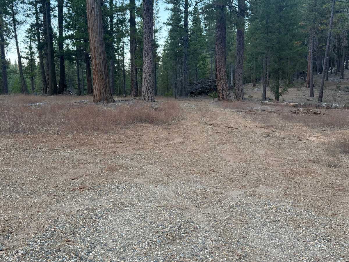
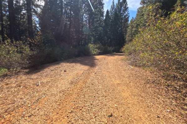
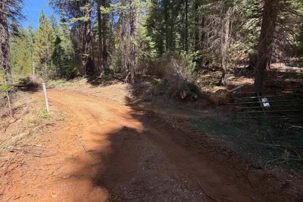
Meadow Valley Tie (FS 24N56) is a short out-and-back dirt spur in the Plumas National Forest, branching off the Meadow Valley road system and running roughly 0.7 miles into quiet, shaded forest on the lower slopes of the valley. The route rolls gently through tall timber, with grassy openings, brushy shoulders, and a soft layer of needles and cones along the edges. The surface is firm, packed red dirt with patches of fine gravel and only a few small stones on top, wide enough for comfortable single-vehicle travel. A short distance in, a flat clearing beside the road offers a dispersed campsite with room for one or two vehicles. There are no overlooks, developed sites, or through-connections along the way. While a trail appears to extend from the route on the map, it eventually reaches private property – be sure to follow posted signs and stay on public land. The route ends at a small open area with room to turn around. The draw is a short, peaceful detour off the main road with an easy spot to camp. Summer and fall offer the best conditions.
Difficulty
A short, smooth dirt road with gentle grades and no meaningful obstacles. Pine needles, cones, and a scattering of small stones cover the surface. There are no ruts, rock obstacles, ledges, steep pitches, or water crossings anywhere along the route. Standard ground clearance is all that is needed.