Trail Overview
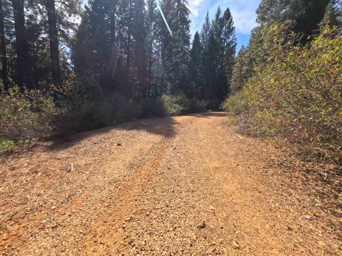
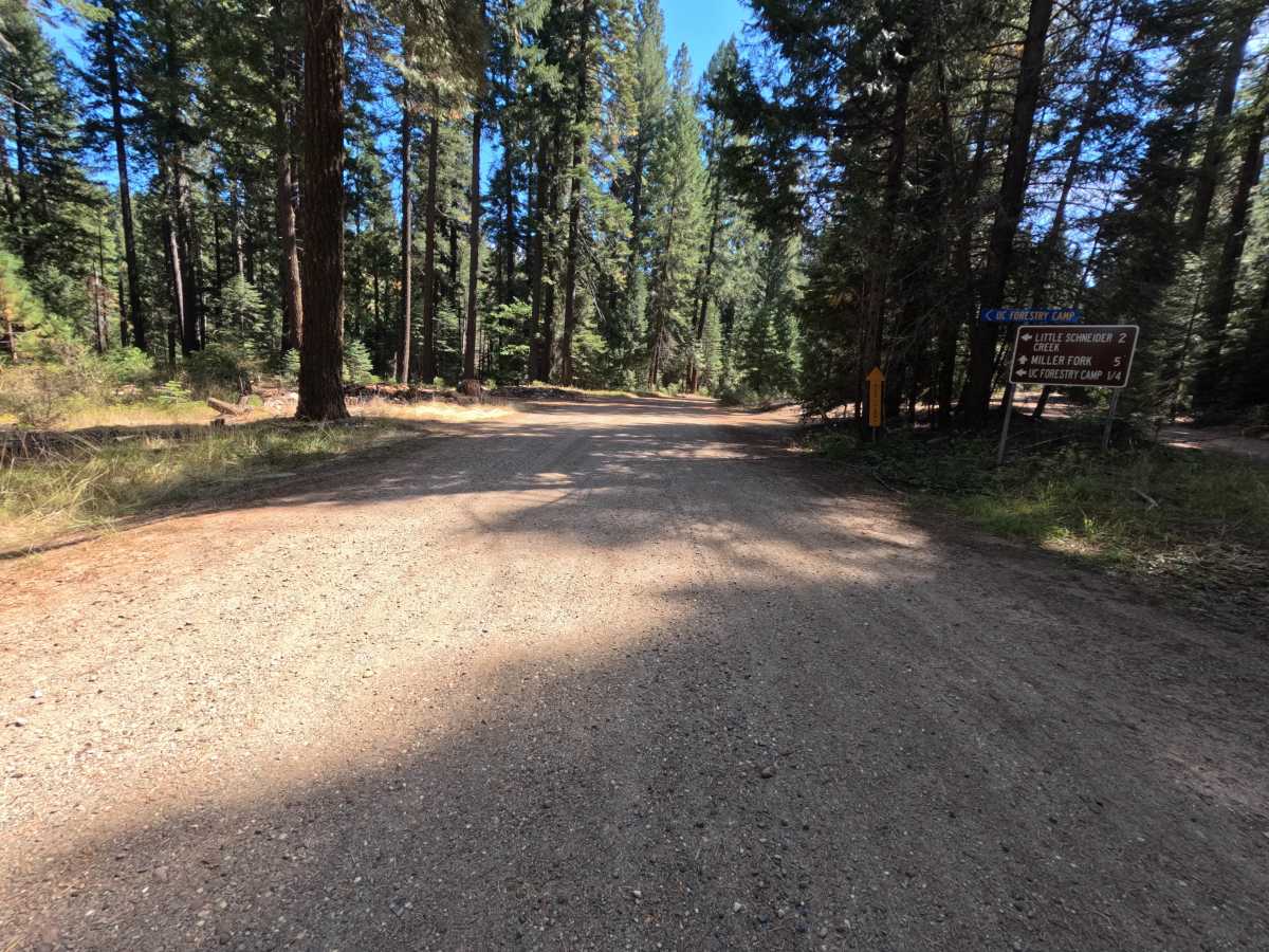
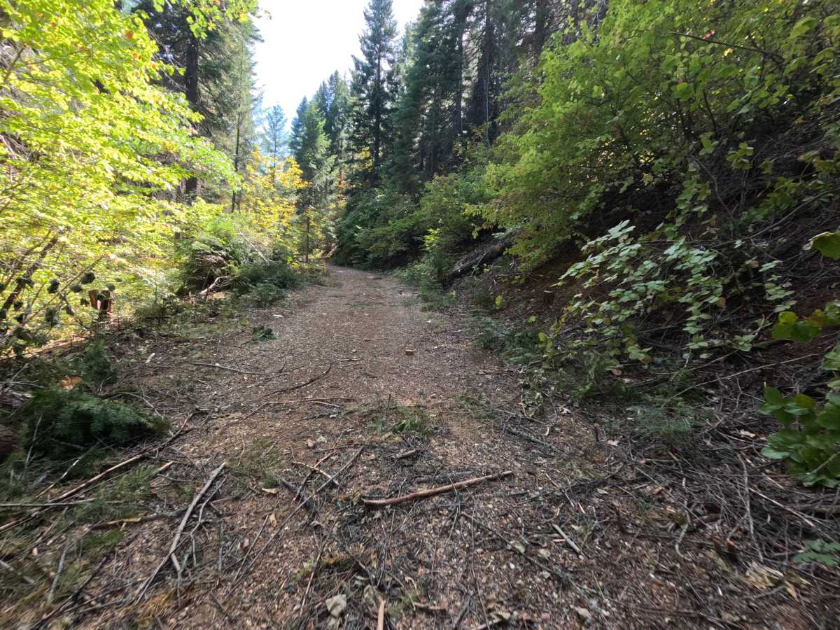
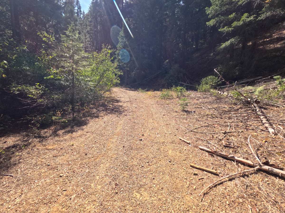
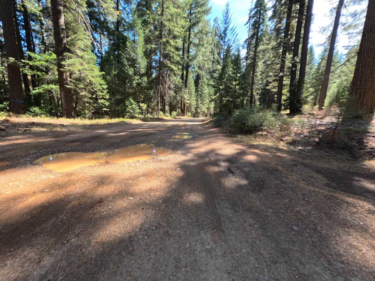
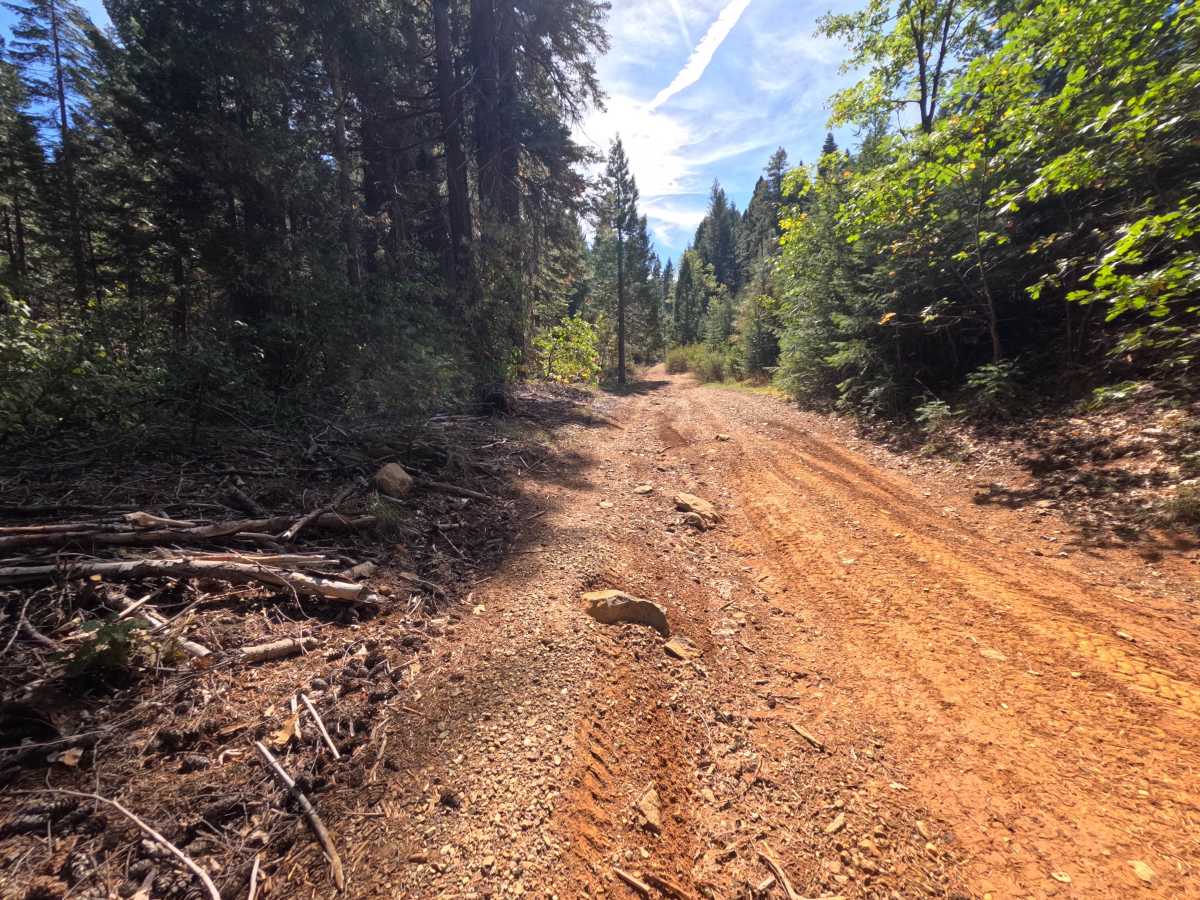
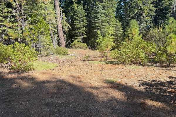
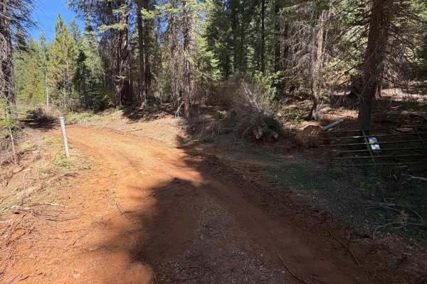
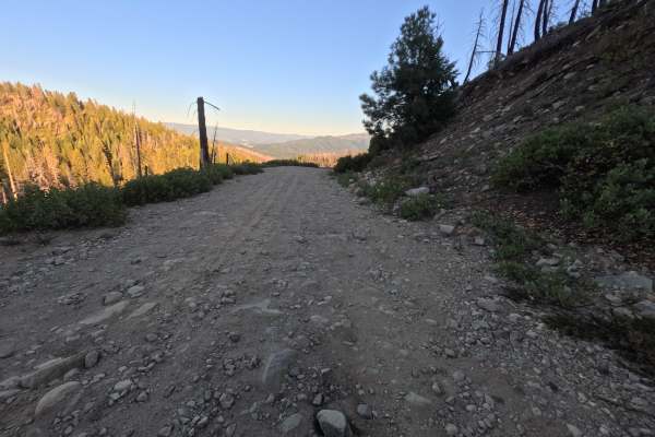
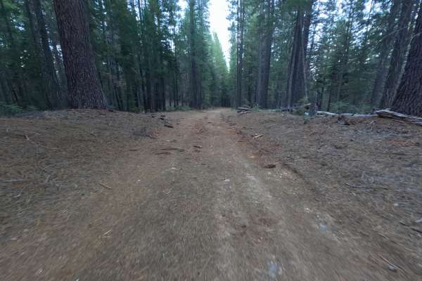
Little Schneider Creek (FS 24N31) is a wide, hard-packed gravel connector in the Plumas National Forest, linking the Schneider Creek road fork with Schneider Rock road as it winds through the mountains west of Quincy. The route travels through tall, shaded forest with leafy brush crowding the shoulders and patches of bright yellow and red foliage in fall, rising and falling gently along hillsides with cut banks on the uphill side. Partway along, the road passes the signed turnoff for the UC Forestry Camp, so expect occasional vehicles and people on foot in that area. The surface is firm gravel and red dirt, wide enough for comfortable single-vehicle travel, with one short climb where loose, rounded cobbles cover the tread. Dispersed camping is easy to find, including a large flat clearing near the creek with a fire ring and room for three or four vehicles, a site on a bend with space for one or two, and a solo spot near the Schneider Tie junction. Summer and fall offer the best conditions.
Difficulty
A wide, well-packed gravel road with gentle grades and no meaningful obstacles along most of its length. One short climb has a layer of loose, rounded cobbles across the tread that is best taken at a steady, unhurried pace. Elsewhere only small stones, leaves, and pine cones sit on the surface. There are no ruts, ledges, steep pitches, or water crossings anywhere along the route. Standard ground clearance is all that is needed.