Trail Overview
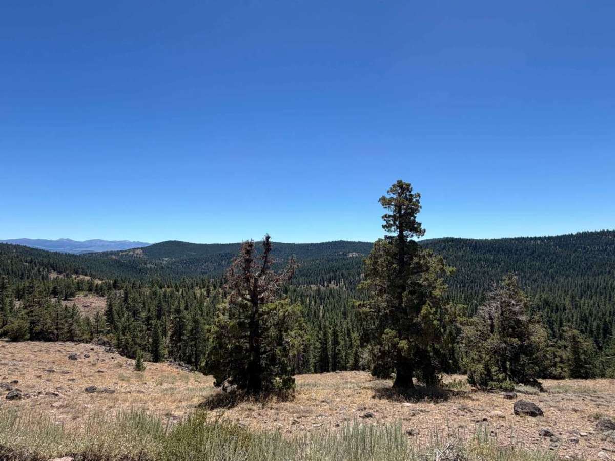
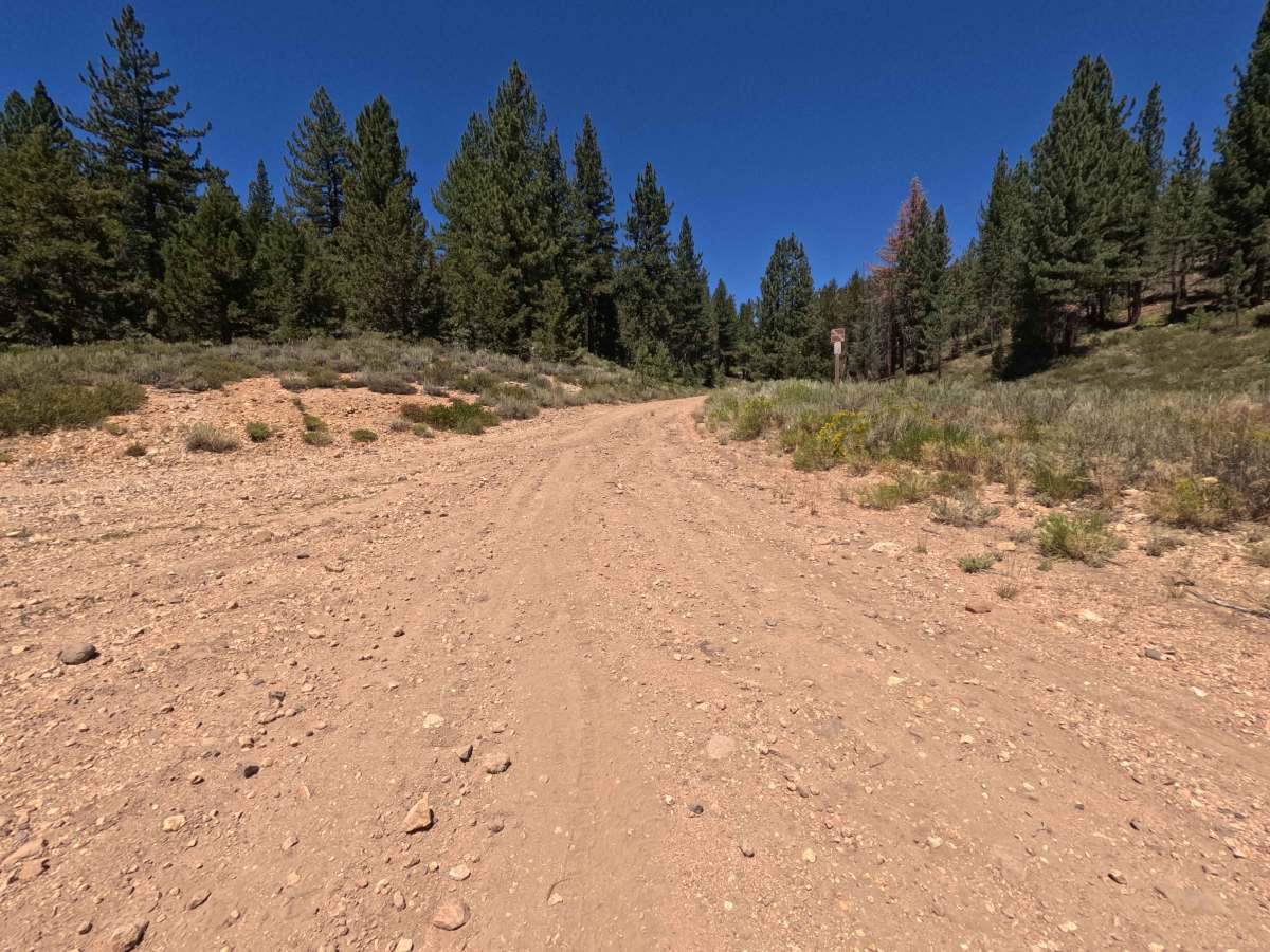
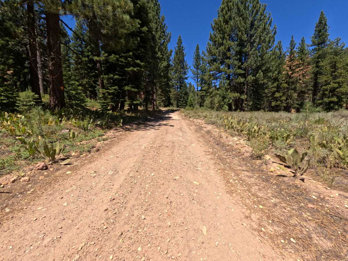
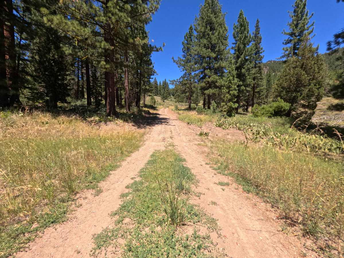
Set within a high-elevation mountain environment of Jeffrey pines, fir groves, and sagebrush slopes in the Tahoe National Forest, Sardine Peak - FS 0650-075 offers a scenic ridgeline drive. Accessed directly off of Forest Service Road 650, this 5.3-mile single-lane dirt connector climbs steeply into the high country before descending to meet Trosi Canyon Road. Outdoor enthusiasts travel this path to reach the trail for the historic Sardine Peak Fire Lookout, take in expansive vistas toward the south, or establish camp in large roadside clearings. The driving surface consists of a single-track dirt and gravel base marked by loose stones, embedded rocks, and bumpy washboard sections, earning a Grade 2 difficulty rating. Departing FS 0650, the road climbs continuously along the hillside, opening up panoramic mountain views around 1.0 mile. The next 2.5 miles present a rougher, rockier surface as the track winds uphill to reach a high saddle at 3.8 miles. At 3.9 miles, a side spur forks toward the Sardine Peak Lookout gate—a popular parking and camping spot where visitors can hike the remaining distance to the tower. Beyond the lookout junction, the road flattens out, passing a spacious dispersed camping area at 4.4 miles before descending gently to terminate at Trosi Canyon Road at 5.3 miles.
Difficulty
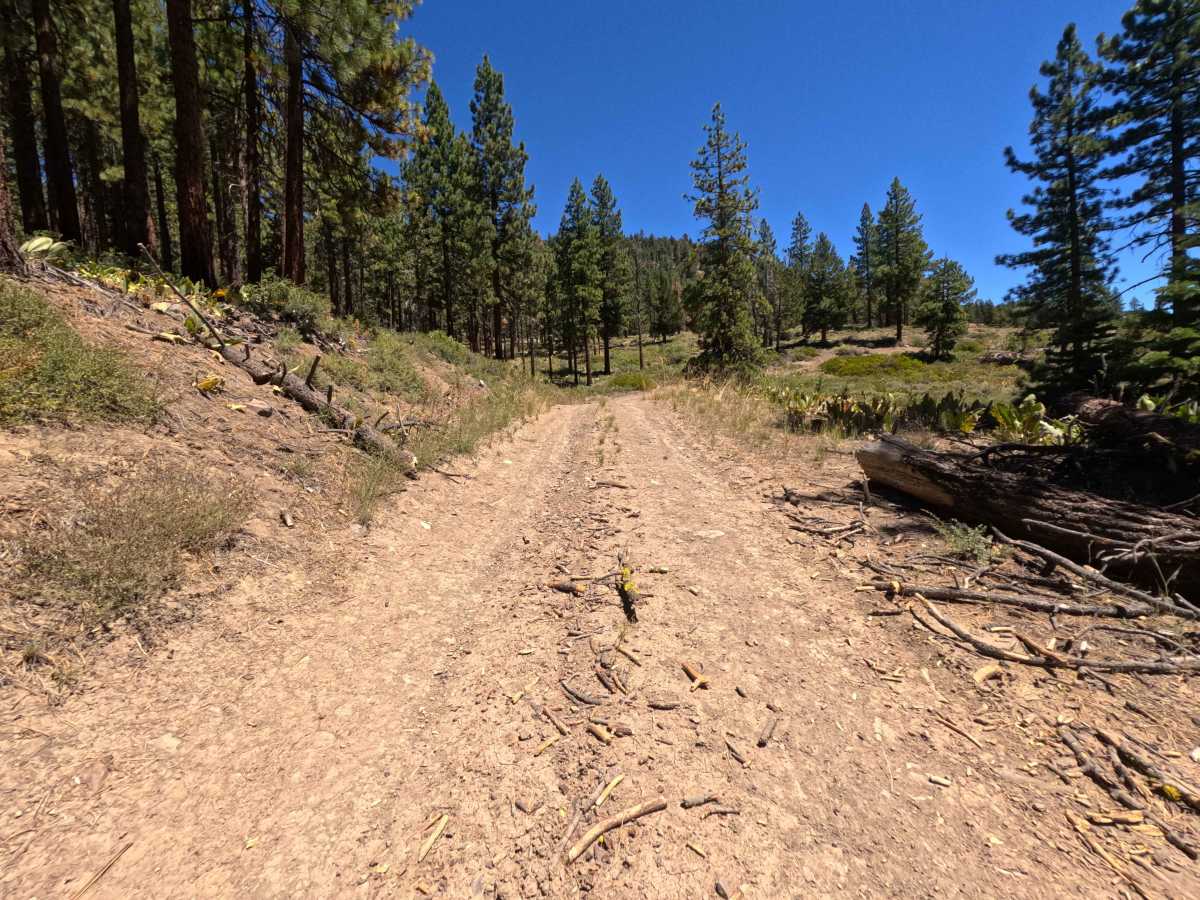
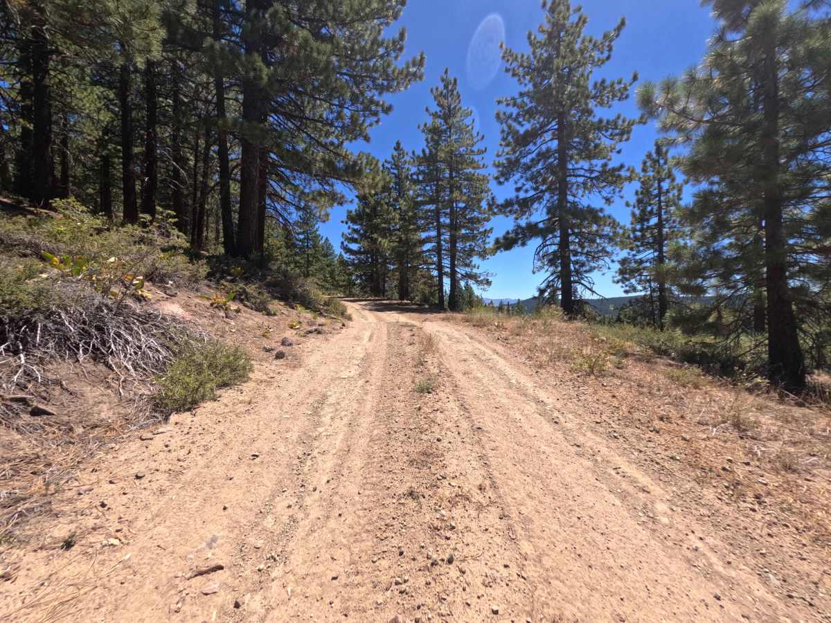
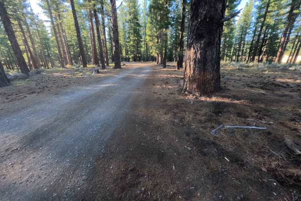
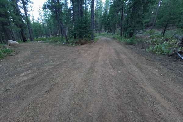
Earning a Grade 2 difficulty rating, this 5.3-mile mountain connector features a firm dirt base accented by rocky, uneven surface conditions. As shown in the photos, primary non-technical hazards include continuous uphill grades, embedded cobbles, loose surface gravel, and occasional larger rocks along the road shoulders. Drivers should maintain steady throttle up the long incline, pick smooth lines through bumpy stone patches, keep speed controlled around blind mountain curves, and yield to foot traffic near the lookout trailhead.