Trail Overview
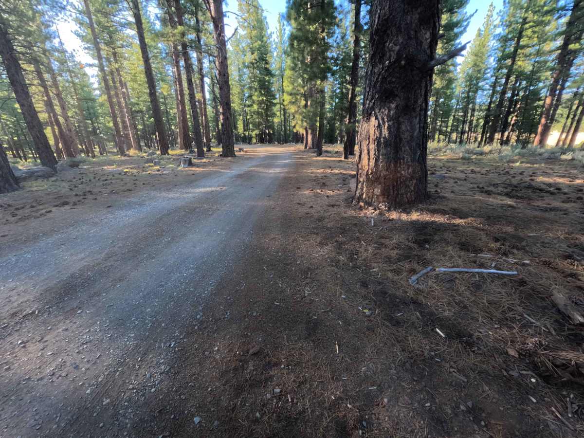
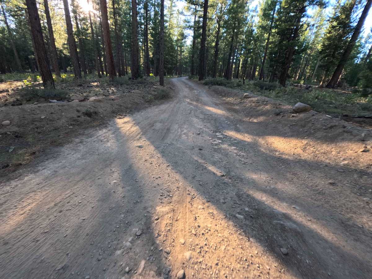
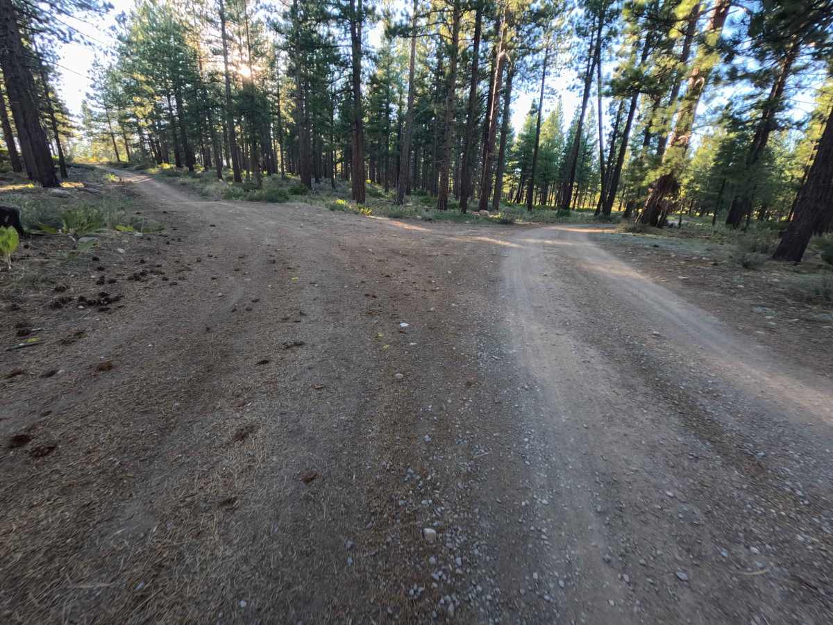
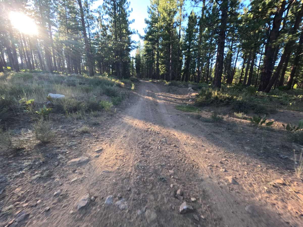
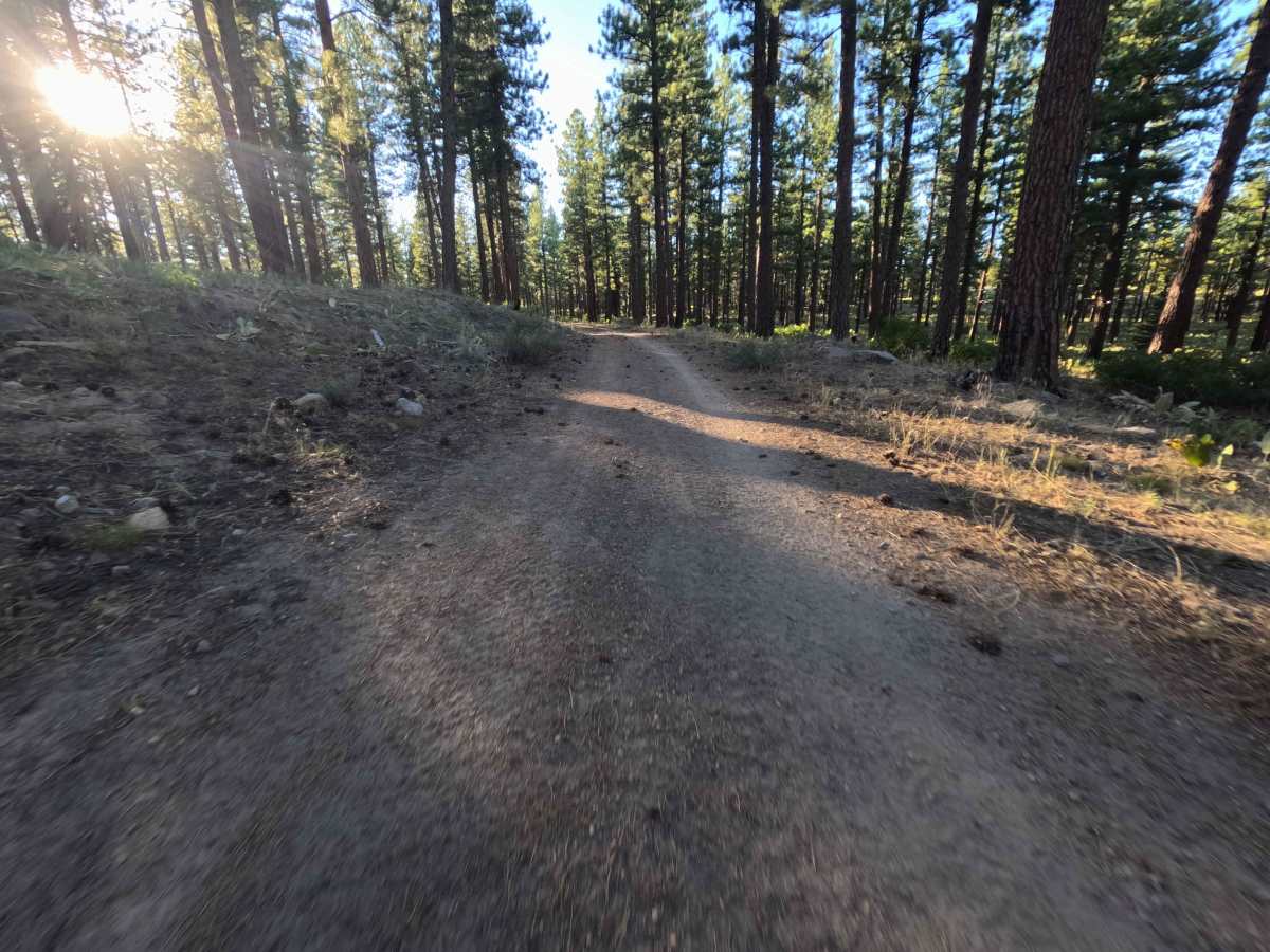
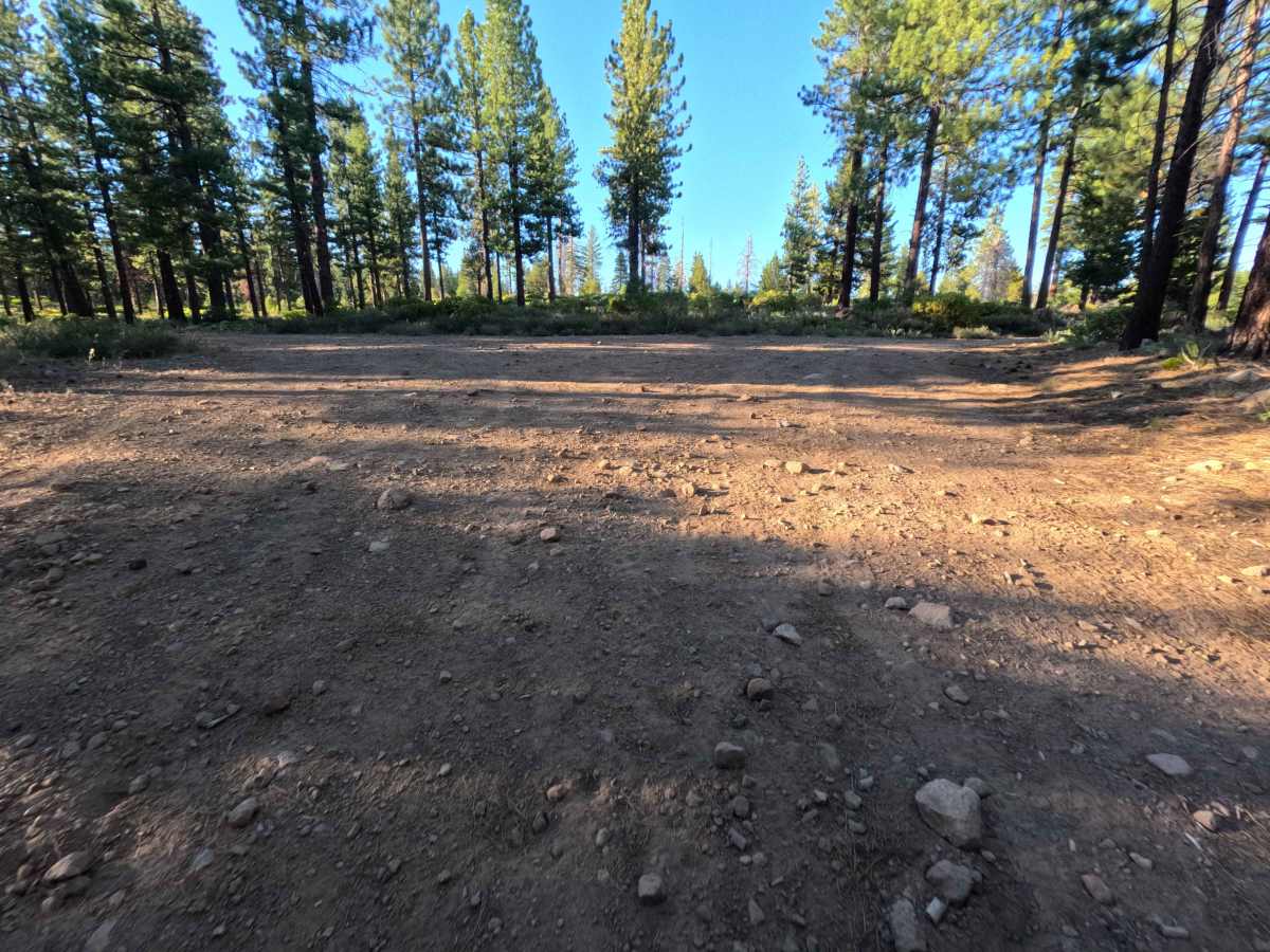
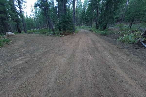
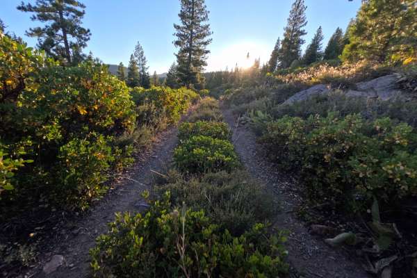
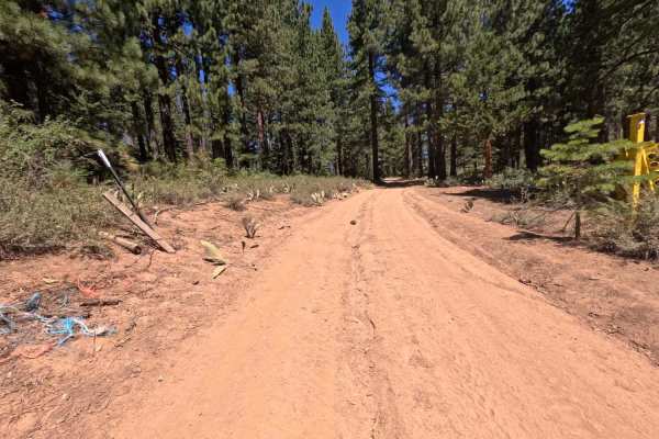
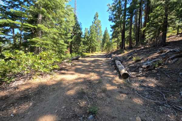
Set within an open conifer forest with sparse underbrush in the Tahoe National Forest, Wheeler Tie - FS 0450-005 provides a tranquil mountain spur drive. Accessed directly off of Forest Service Road 0450, this 2.5-mile out-and-back gravel path branches into gentle hillside terrain. Outdoor enthusiasts and history buffs travel this route primarily to visit the ancient Kyburz Petroglyph site, utilize the roadside privy, or enjoy peaceful primitive camping. The driving surface consists of a wide, well-graded gravel road with flat dirt stretches, earning an easy Grade 1 difficulty rating. Departing the primary access corridor, a spacious primitive camp spot featuring a fire ring appears at 0.1 miles with room for multiple vehicles. Further along, an informational sign marker and vault toilet designate the trailhead leading to the historic Kyburz Petroglyph rock art area. Low-growing forest floor vegetation maintains excellent sightlines through the tall pine trees. The route concludes near 2.5 miles at a large downed tree with ample turnaround space. The trail beyond looks to have been abandoned.
Difficulty
Earning an accessible Grade 1 difficulty rating, this 2.5-mile out-and-back spur features a flat, smooth gravel foundation completely free of technical challenges. Deep ruts, mud holes, steep inclines, and clearance-testing boulders are absent along the entire course. Non-technical considerations are limited to navigating minor loose surface gravel and scattered small rocks. Drivers can effortlessly traverse the route, enjoy the forest scenery, and turn around comfortably at the end clearing before the downed tree barrier.