Justin Dito
Nov 28, 2025
Open
NormalDustyMuddy/Wet
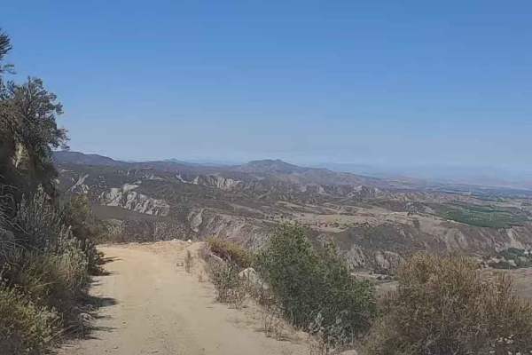
Really nice trail for beginners or just anyone who wants to get outdoors and enjoy some nice scenery.
Husky Mike
Nov 08, 2025
2023 Toyota 4Runner
Open
NormalDusty
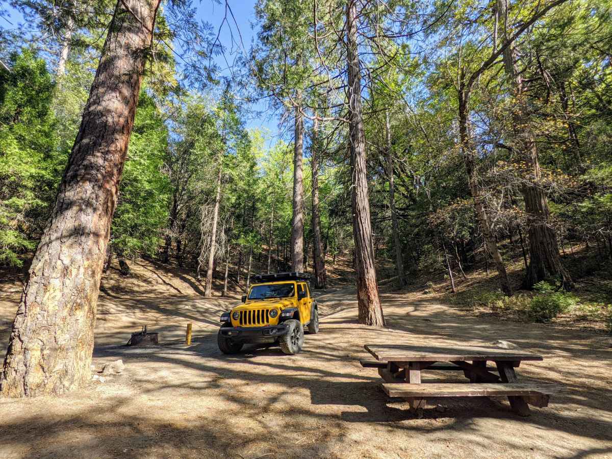
Started from Pine Cove. Drove as far as the Yellow Post sites- about 4 miles in. They were taken so I backtracked to a spot I saw on the way in. Road had some ruts and bumps. Don’t need 4wd. I was glad I had decent ground clearance for some of the rougher spots. Road is pretty narrow in some spots but there always seemed to be a place to pull off to or back up to if needed. Quite a few mosquitos while camped.
Sean Pedraza
Oct 29, 2025
2025 Subaru Outback
Open
Rough/Deteriorated
I can see how this trail would be significantly easier with bigger tires. If you are like me, however, and you have a stock Outback Wilderness, then the name of the game for this trail is line choice and tire placement on/around some of the obstacles. The vast majority of the trail is deep ruts and some washboarding which is easy enough to deal with but without bigger tires, picking a line around some obstacles puts you very off camber. I lifted a wheel more than once today, which to be fair could have been alleviated in a more dedicated off roader with bigger tires. All in all a very fun challenge in my vehicle, and a great way to spend an afternoon
Thomas Adamson
Oct 25, 2025
2010 Toyota Tundra
Open
Normal
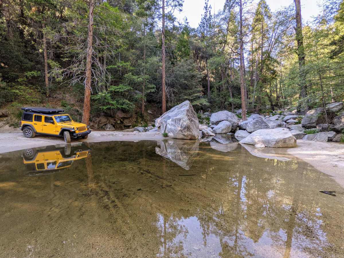
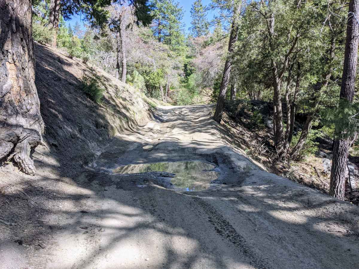
Trail rating is fair, 3/10 coming down. Took my gen 2 tundra out, 2 wheel drive with mild lift and 35” tires. Had no issues navigating what was mostly just bumpy and rutted fire roads. The “rock” everyone talks about is the only challenge yet had zero issues why so ever going around it with my truck. Trail is decent condition, one small water crossing, maybe a couple inches deep right now. Had a blast the whole way down. Only tricky thing is narrow for passing traffic. Not many opportunities to turn out if you come across other vehicles traveling opposite directions.
Craig McVey
Oct 23, 2025
Open
Rough/Deteriorated
Started at Bee Canyon. It was narrow and not for the faint of heart. The pucker factor of height and narrowness continued on to the San Jacinto Trail. Once you hit the tree line, everything changes. There are 2 water crossings, a couple camp sites, beautiful shaded trail under the pines. After a lunch in town, we headed back to the 74 via the Idyllwild trail which was rutted out with cross trail deterioration and required a bit of patience. We were nearly alone, just one motorcyclist.
Deanna Mercado
Oct 17, 2025
Open
Muddy/Wet
Shaan Heugly
Oct 08, 2025
Open
Rough/Deteriorated
Nathan Sigafoos
Oct 06, 2025
Open
NormalRough/DeterioratedWashboard
Vincent Nguyen
Sep 20, 2025
Open
Muddy/WetRough/DeterioratedWashboard
Brian Mensing
Aug 24, 2025
Open
NormalRough/DeterioratedWashboard
3/10 is still an appropriate rating. The now infamous boulder obstacle isn’t too bad, it creeps up on you as you turn a corner so the shock and awe factor sets in initially. If you get out and walk above the obstacle you will see a clear line that will get you up it no problem. Go wide and hug the rock if you are in a stock vehicle. There are two pretty good size ruts being dug, someone tried to fill one with rocks. The Jeep with us just drove right into the ruts, show off!! We had 6 rigs with us 2 bone stock (Tundra & Explorer) that made it fine. Entire trail is a fun beautiful ride up the mountain. Enjoy!
Alec Trueblood
Aug 08, 2025
2006 Toyota Tacoma
Open
Rough/Deteriorated
The boulder is located 1.7 miles from the intersection of East Indian Canyon Road (4S10), when traveling away from Bee Canyon. There is now a pretty large pothole alongside it, which people have carved with their vehicles in the effort to get by. I got through it today in my Tacoma with some wheel lift in front and alot of sideways knocking, with my lockers on. But lockers are not necessary, since my companion got through it in his Bronco without lockers. Going up it, your rear wheels stay on the ground. This pothole could get uglier as time passes. The rest of the road is heavily rutted and slow going, with hard pack dirt, small rock fields, occasional larger rocks that have to be crawled, and lines that go near the shelf. It was very fun, but took a lot of concentration. Not a problem for high-clearance 4WD but not exactly easy. I would rate it a 4 in its current condition.
Eric Yi
Aug 02, 2025
2025 Jeep Gladiator
Open
NormalDustyRough/Deteriorated
The boulder that some people mentioned in previous trail reports is not hard to get past. Just pick your line properly.
Friend cleared in RWD 4runner with no lockers. 4x4 vehicles don’t even have to worry.
Christian McArthur
Jul 31, 2025
2022 Toyota Tacoma
Obstructed
There was a large bolder toward the south end of the trail. There was not room for me to pass, so had to turn around.
Igor M
May 25, 2025
2024 Toyota Land Cruiser
Open
DustyNormal
Overall, the trail conditions ranged from easy to moderate. Most sections were smooth, but a few areas required precise driving and extra caution.
Tyler Patton
May 19, 2025
Open
NormalDusty
My first time taking my rig out and testing its off-road capabilities. I went a little late started around 7:20pm didn’t get until 11:40pm due to me getting lost on the way out. Learn from me lol if you come in from idyllwild just continue straight at the end of the trail towards bee canyon. I made the bone head mistake of leaving this app and using Apple Maps which directed me to east Indian creek and then completely off the map into ROUGH spots. Luckily I didn’t panic and my Jeep handle it very well but I was nervous for sure. I would recommend a decently high clearance truck for this trail. I used 4H, and i didn’t have to air down. I plan to come back early in the day to actually enjoy the water crossings. All in all a GREAT First trail to test your rig and educate yourself on off-roading before hitting more difficult trails.