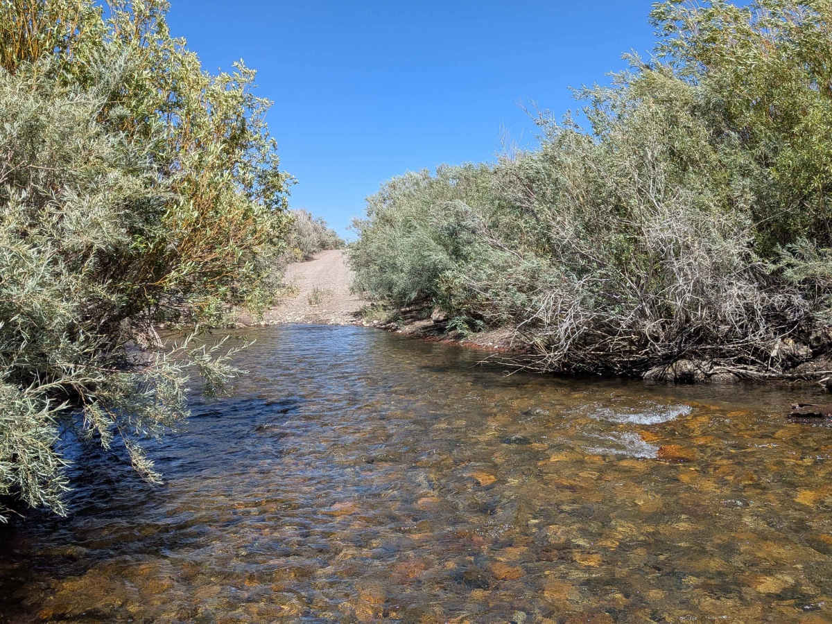
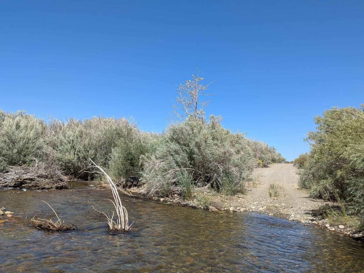
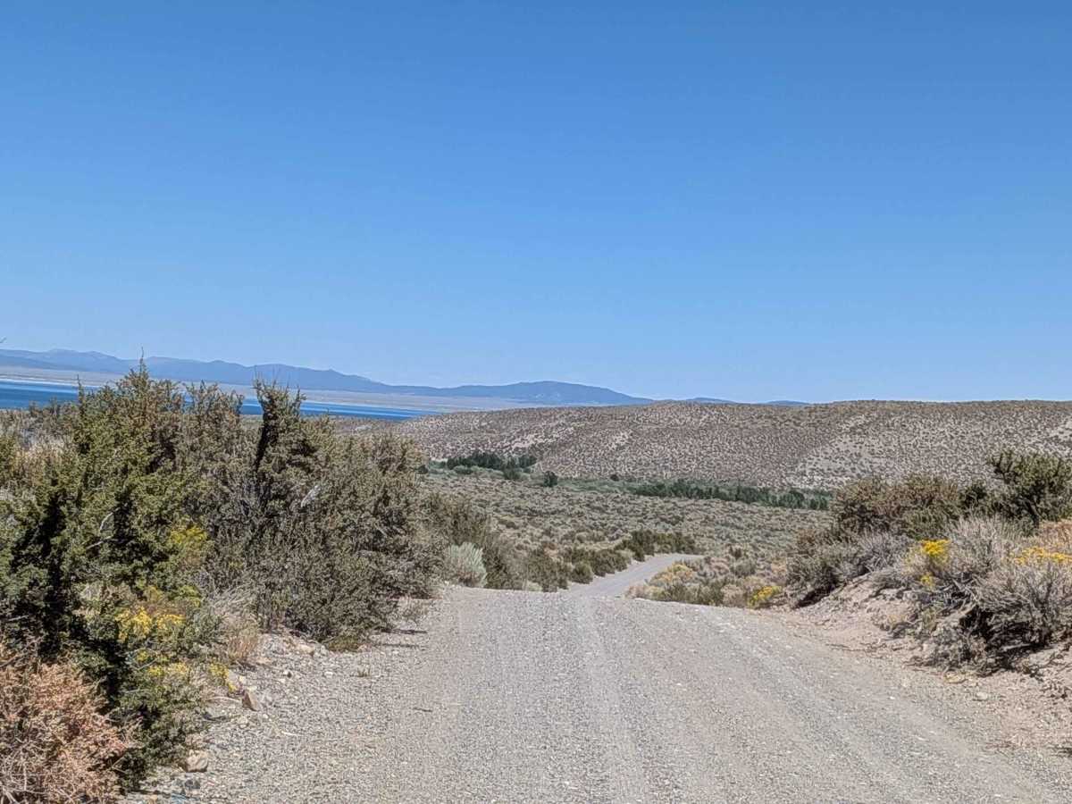
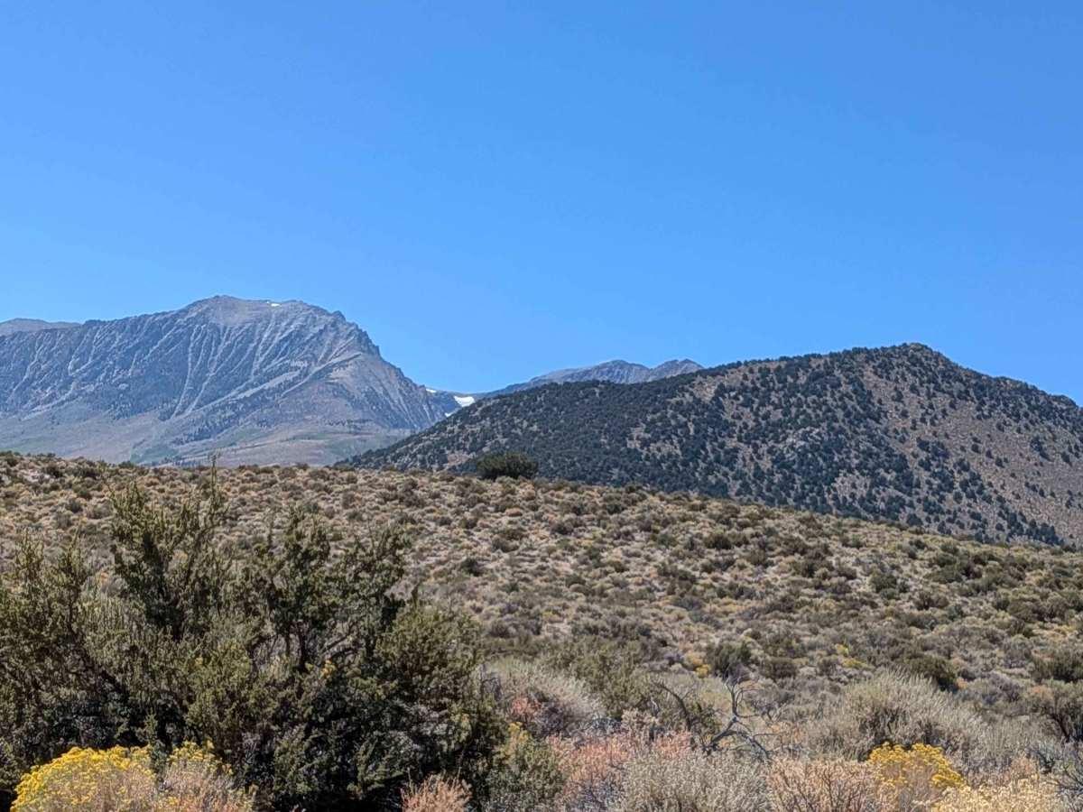
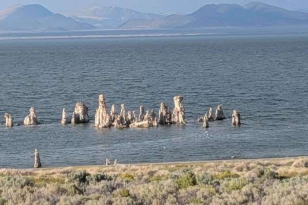
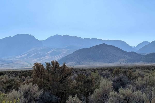
Trail Overview
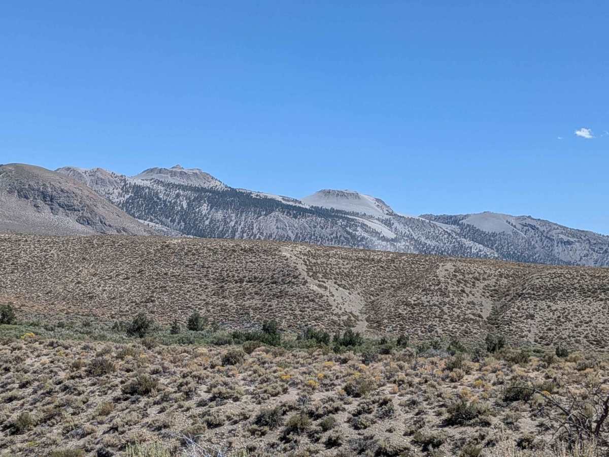
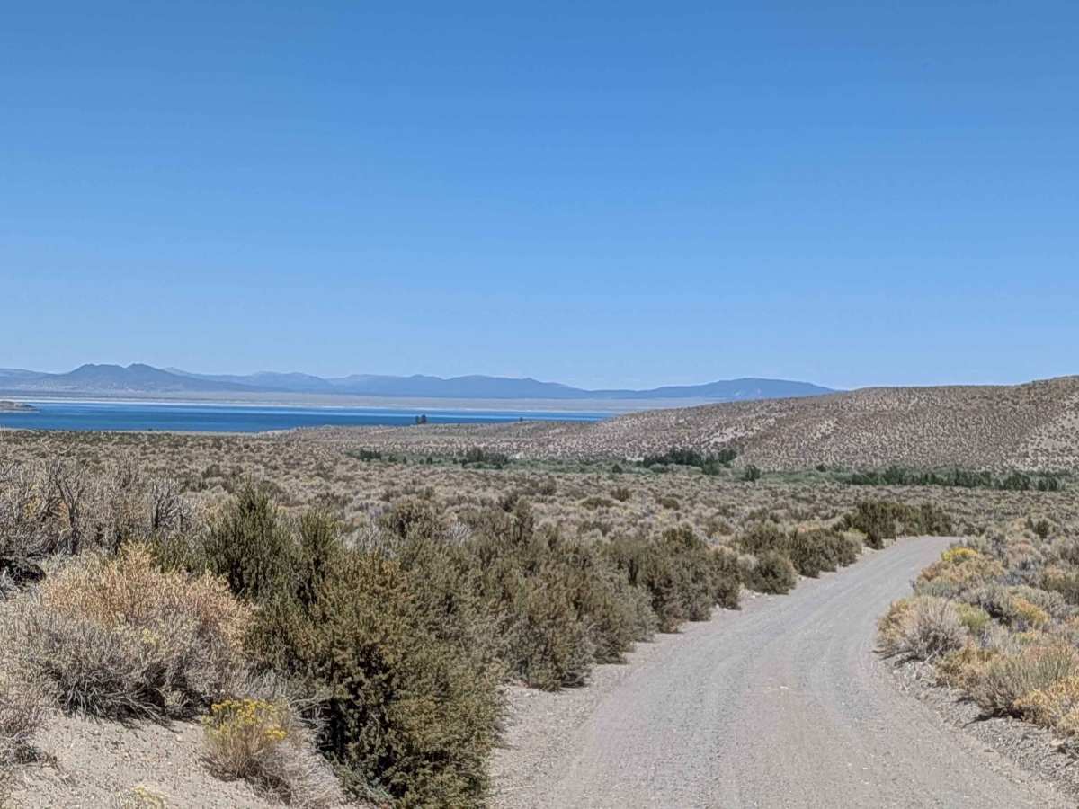
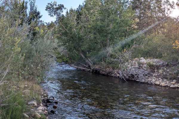
This scenic route climbs just under 100 feet and drops over 200 feet as it approaches Mono Lake, descending into a canyon lined with bushes. The trail offers continual views of Mono Lake below as well as Crater Mountain and the Eastern Sierras throughout the journey. Various unnamed spur trails branch off for additional exploration opportunities. At 1.8 miles in, the route crosses Rush Creek, a fun crossing, but be cautious as water levels change daily.
Difficulty
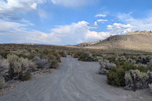
This trail earns a moderate-easy difficulty rating with its sand and pumice road surface that is 1.5 vehicles wide and features some washboards. The key challenge is the Rush Creek water crossing at 1.8 miles. Be cautious and assess the depth before crossing, as water levels fluctuate daily and can significantly impact crossing difficulty. The trail changes yearly as the water erosion destroys some of the trail.
History
Rush Creek Road, historically known as Lake Creek, has a rich history intertwined with water diversions and hydroelectric development in the Mono Basin. Initially, the creek was a vital source of water for the lake, but construction of the Grant Lake Reservoir and the Los Angeles Aqueduct system in the early 1940s significantly impacted the creek's flow and ecology. Today, efforts are underway to restore some of the creek's natural flow and ecosystem.