Trail Overview
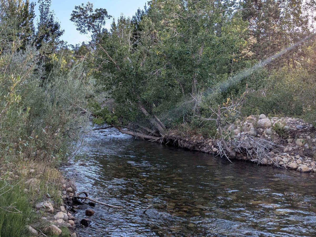
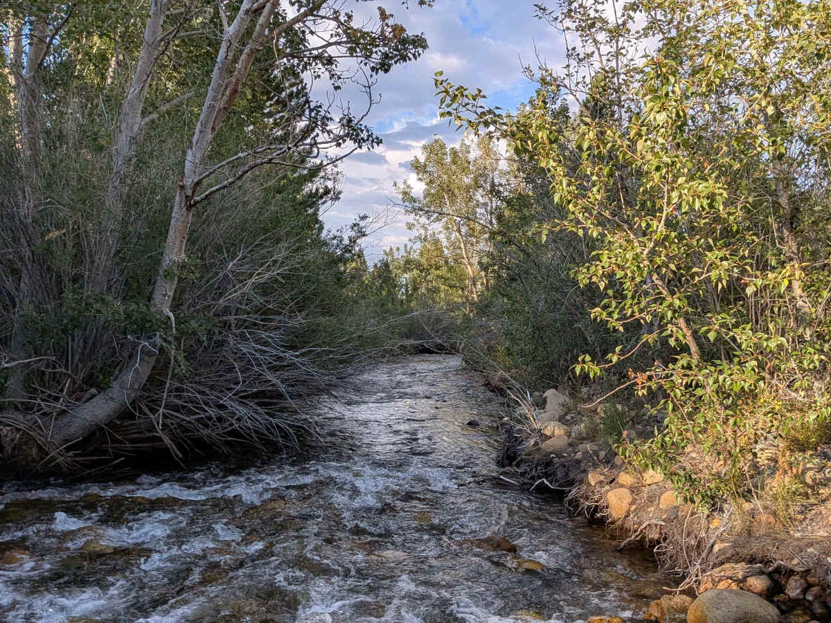
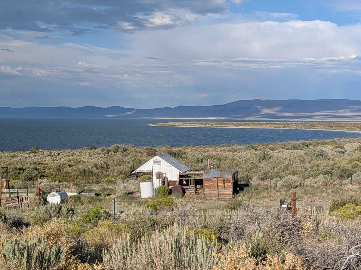
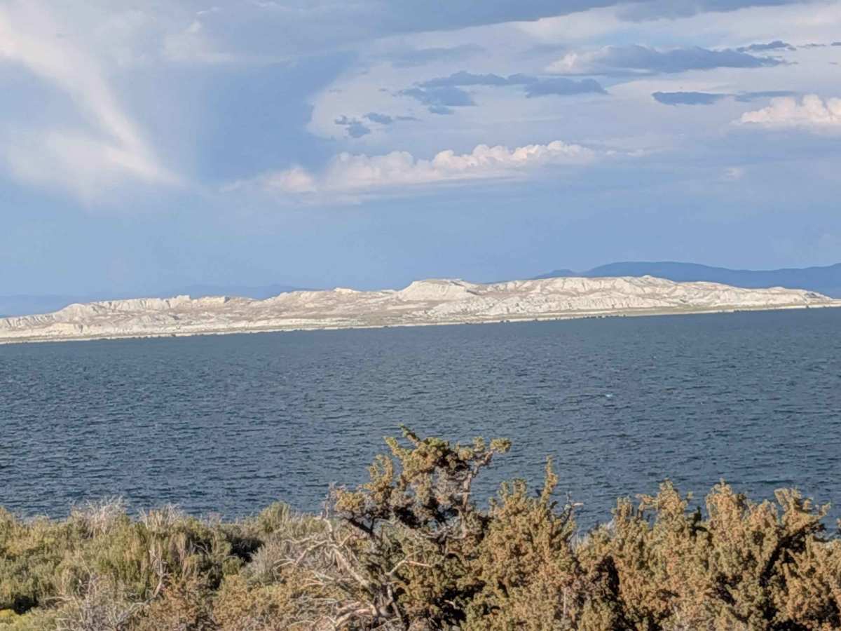
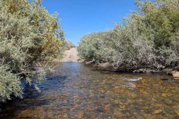
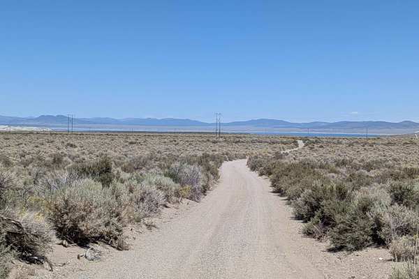
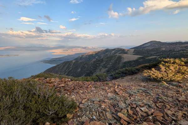
This scenic route climbs 130 feet and drops almost 500 feet over just over 5.4 miles, running parallel to Mono Lake along its shoreline. The trail offers stunning views of the lake, the Eastern Sierras, and other surrounding peaks throughout the journey. Views include Mono Lake and its islands as well as the iconic tufa formations, with Mono Lake Tufa located near the north entrance. The wide, sandy trail is smooth and graded, though it can be very dusty during dry conditions. There is a water crossing 1.8 miles from the North entrance. See the difficulty section.
Difficulty
Almost the entire trail earns the easiest difficulty rating with its wide, sandy but smooth and graded surface. However, 1.8 miles from the North entrance, there is a water crossing that can be swift and deep, potentially raising the difficulty to a 3 or 4 rating depending on the time of year. The water crossing can be particularly challenging in spring or after storms when water levels are higher. Please be safe.
History
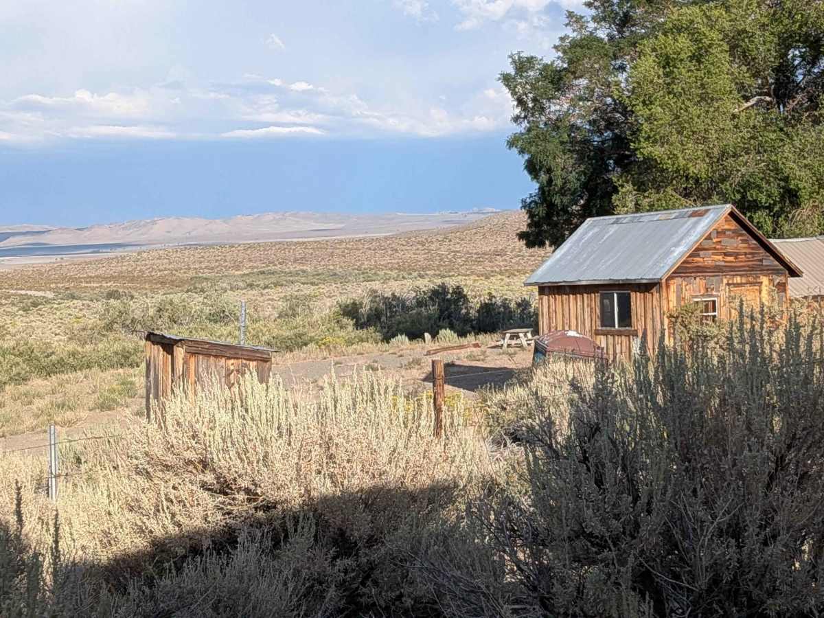
Picnic Grounds Road leads to Mono Lake County Park, a popular recreation area offering access to the lake and its surroundings. While the exact date of the road's initial construction isn't specified in the provided information, its development is linked to the establishment and ongoing management of the Mono Lake Tufa State Natural Reserve and the Mono Basin National Forest Scenic Area.