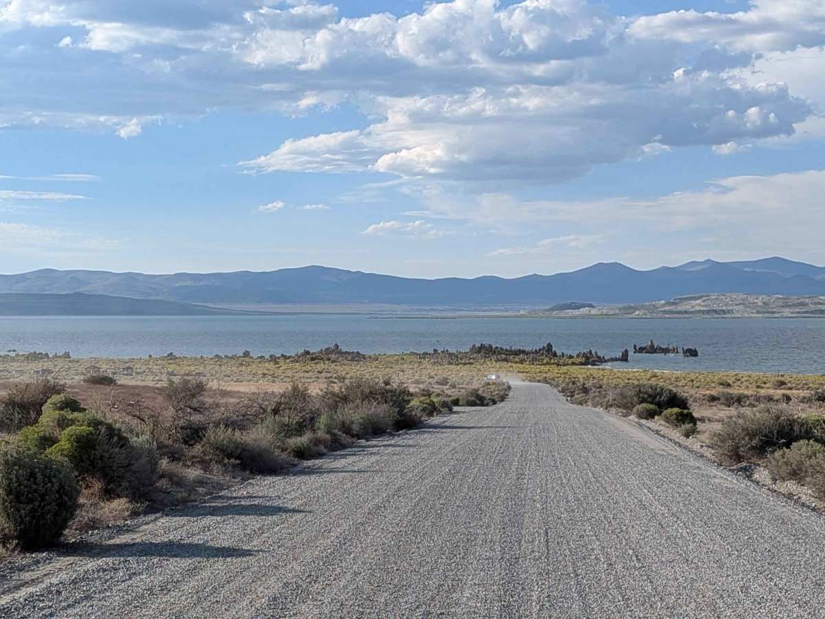
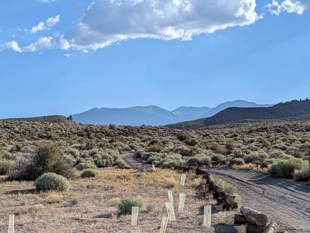
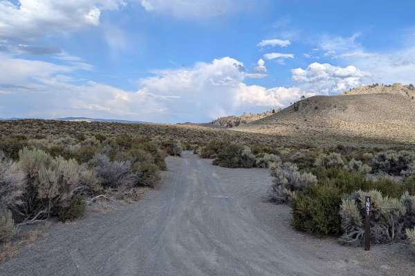
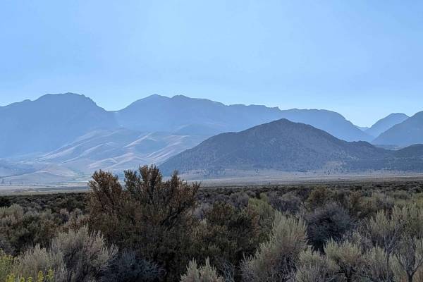
Trail Overview
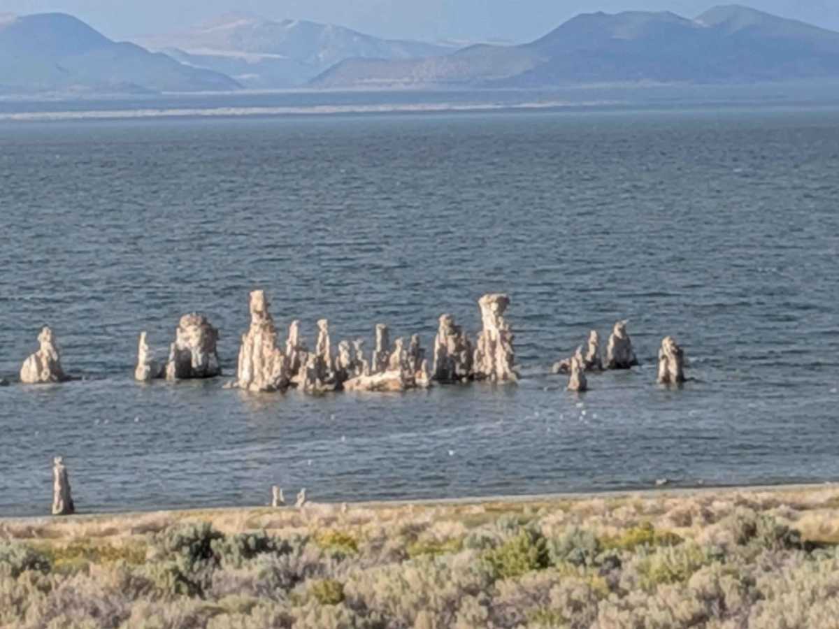
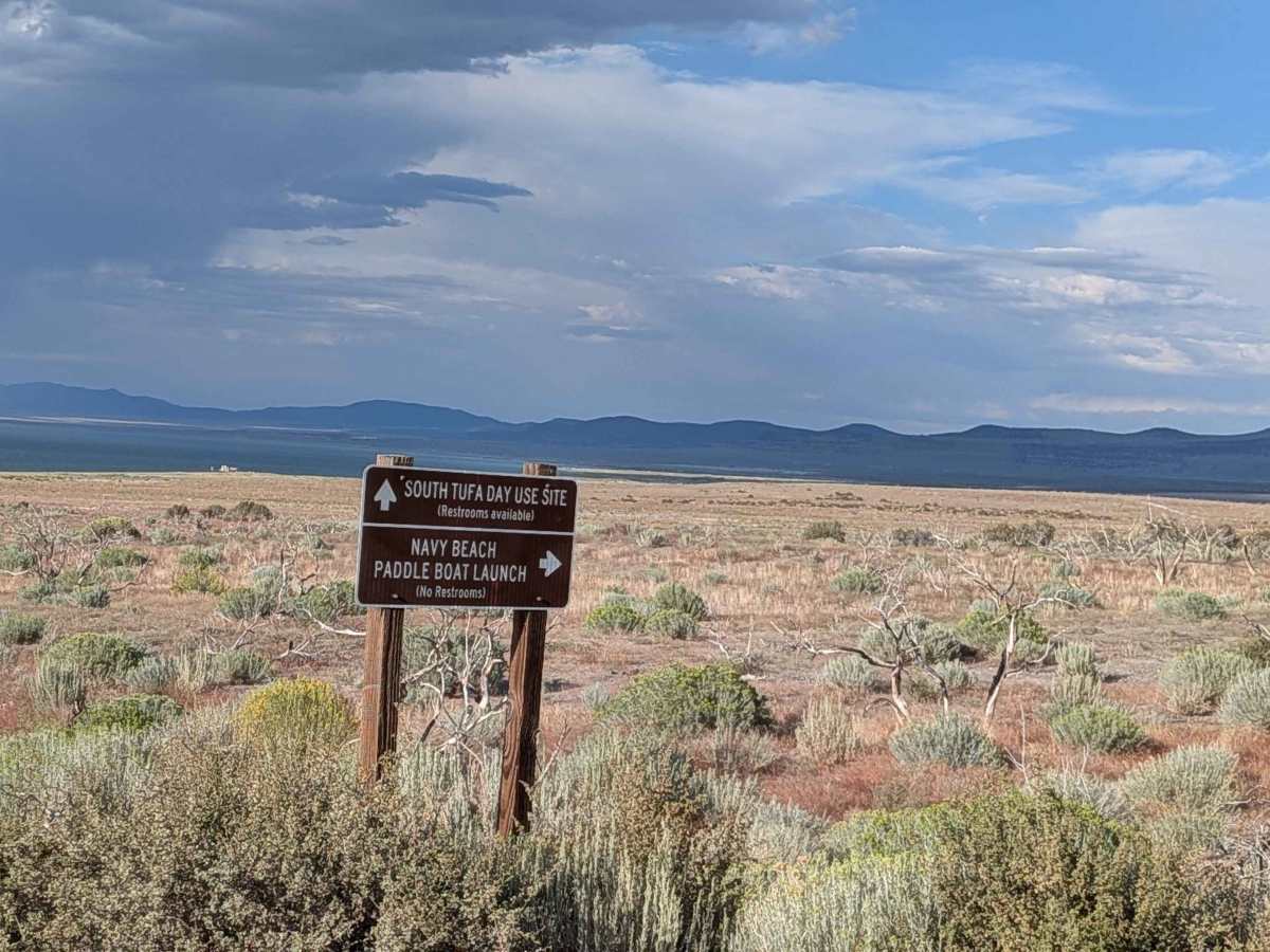
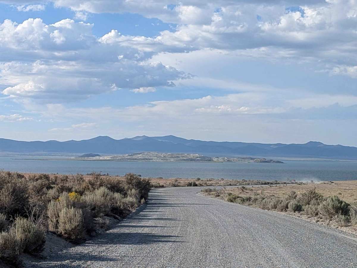
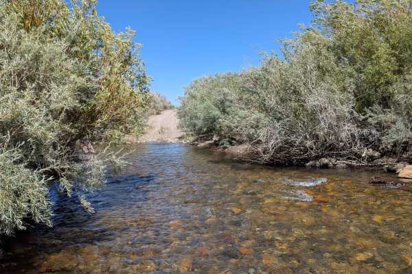
This scenic route runs parallel to the south side of Mono Lake, taking you past the historic South Tufa formations where you can learn about the area's geological history. The trail climbs just under 100 feet and drops over 200 feet over under 4.5 miles, offering many beautiful views of Mono Lake and its islands throughout the journey. Several spur trails branch off to explore the lake or return to Highway 120. If you look carefully, you'll see many of the migratory birds that visit Mono Lake during the year, along with spectacular views of the Eastern Sierra mountains.
Difficulty
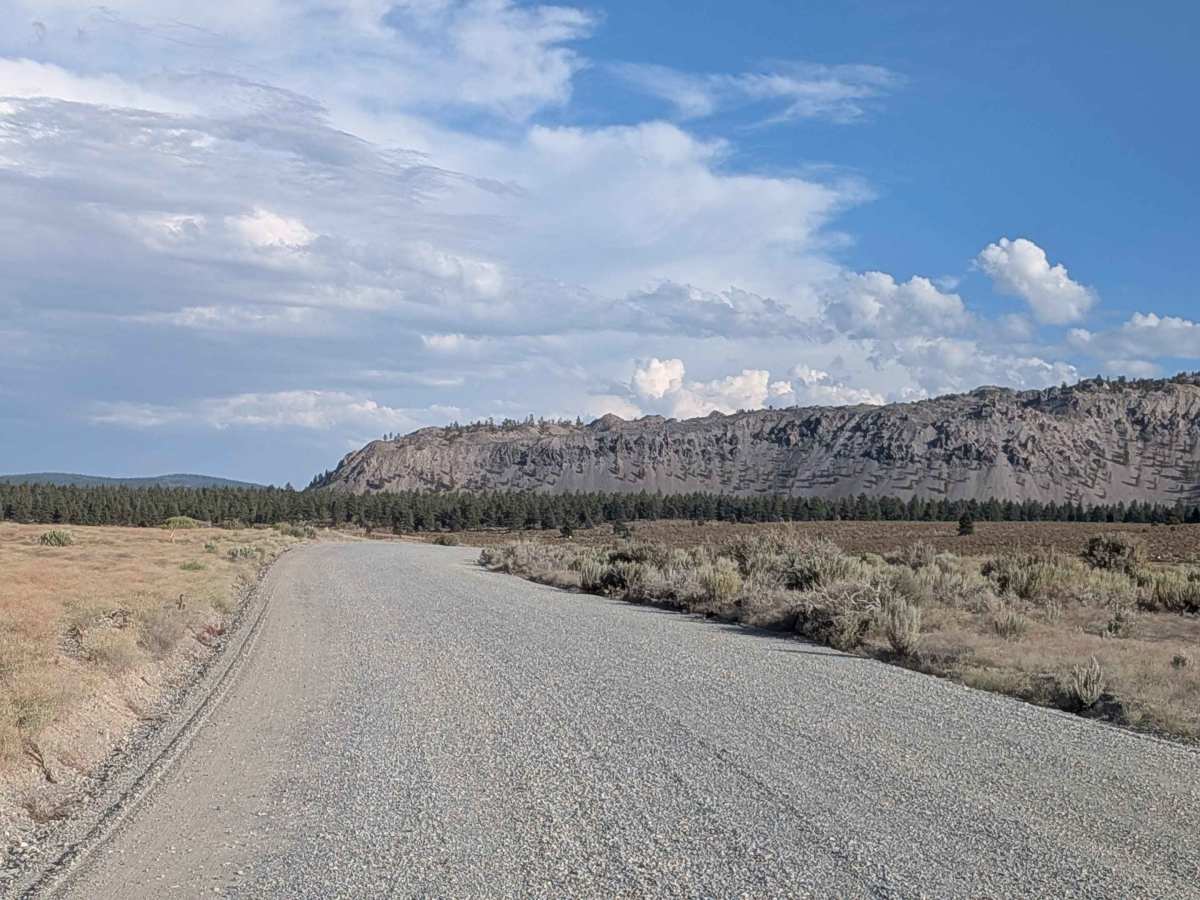
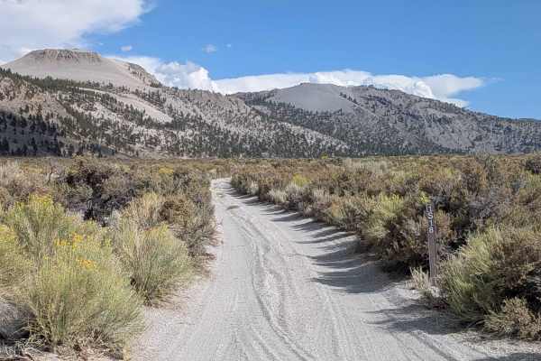
This trail earns the easiest difficulty rating with its graded gravel road that is 3 car widths wide. While there are washboards on some sections of the trail, the road is graded periodically to maintain good driving conditions for most vehicles.
History
The tufa formations at Mono Lake's South Tufa area are geological wonders formed over centuries by the interaction of freshwater springs and the lake's alkaline waters. These towers, made of calcium carbonate, were largely submerged until water diversions in the 20th century lowered the lake level, exposing them. The South Tufa area is known for its high concentration of these impressive tufa towers, making it a popular destination for visitors.