Trail Overview
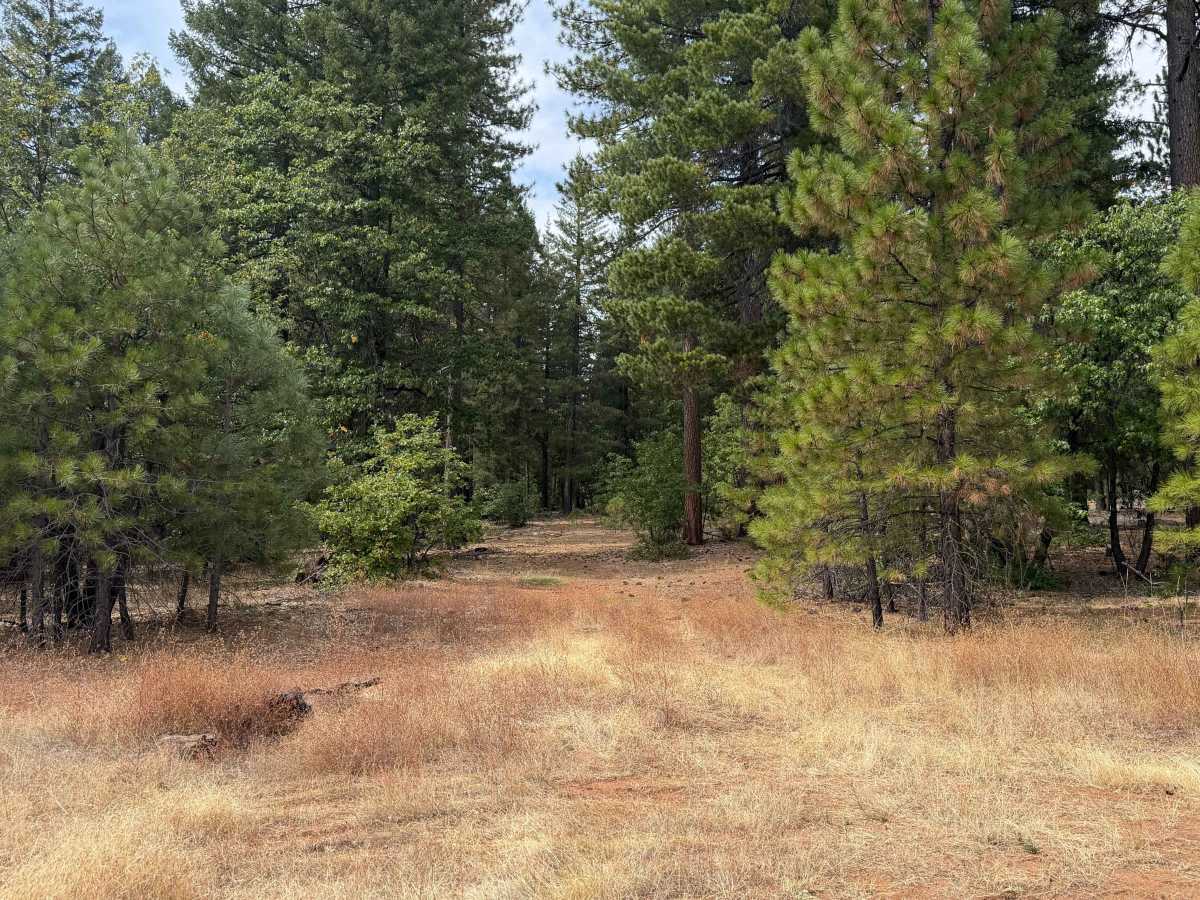
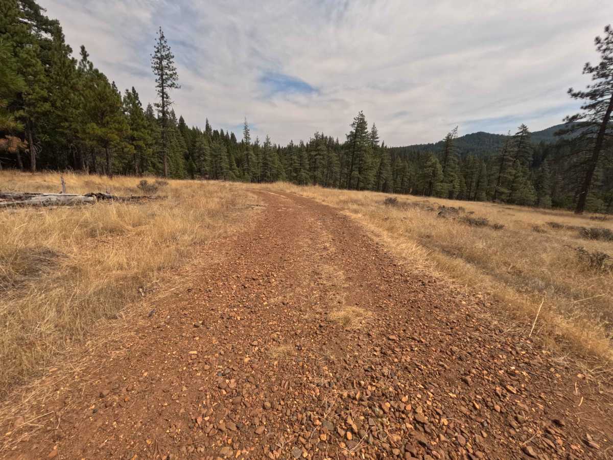
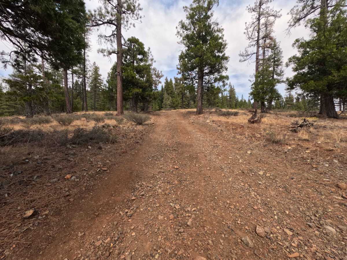
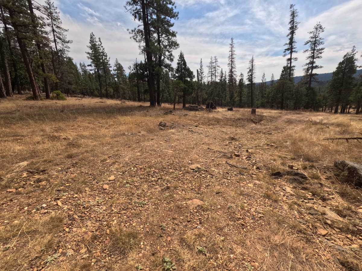
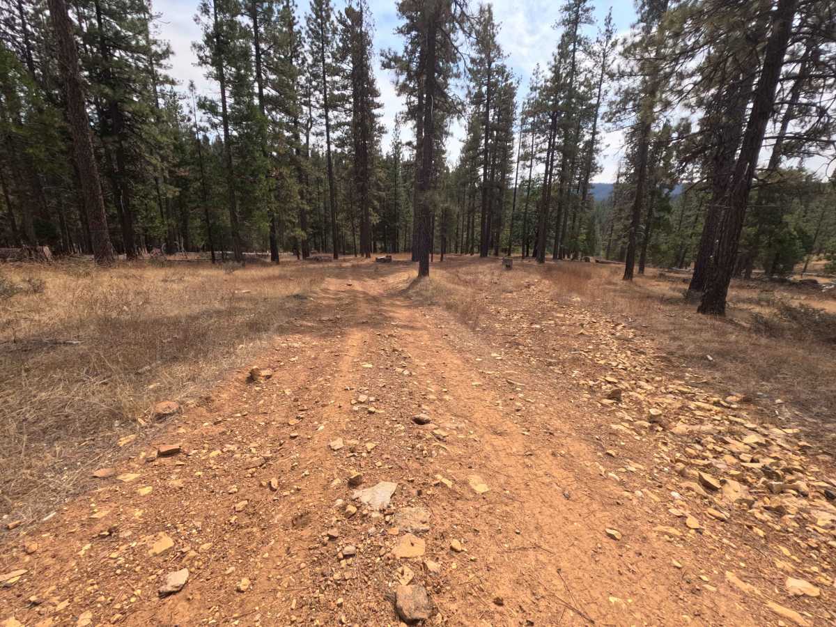
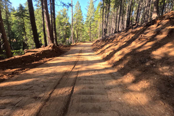
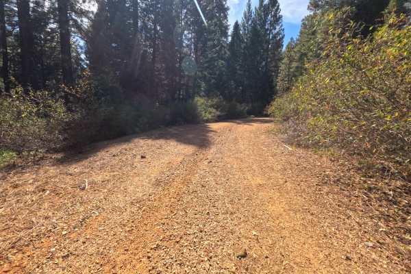
Located within the Plumas National Forest, Rock Creek (FS 8M11) serves as an inviting out-and-back single-track dirt spur peeling off of the main Schneider Rock road. This tranquil route navigates through an airy, open pine forest characterized by towering conifers and a dry, grassy understory. The primary reason outdoor enthusiasts venture down this brief path is to access secluded, dispersed camping locations tucked away beneath the canopy. About 0.4 miles from the entrance, a quiet campsite situated just past the tall grass comfortably accommodates one to two vehicles. Further down, the track ends at a slightly larger dispersed camping area capable of holding two to three vehicles, complete with a rustic fire ring. When traversing this path, keep an eye out for foot traffic, as the surrounding expanse hosts popular hiking routes, including segments of the Pacific Crest Trail that intersect near the Schneider Rock area. While the original survey notes indicate a 1-mile drive taking roughly 14 minutes, the associated GPX track data displays a slightly shorter journey of roughly 0.7 miles completed in just under four minutes.
Difficulty
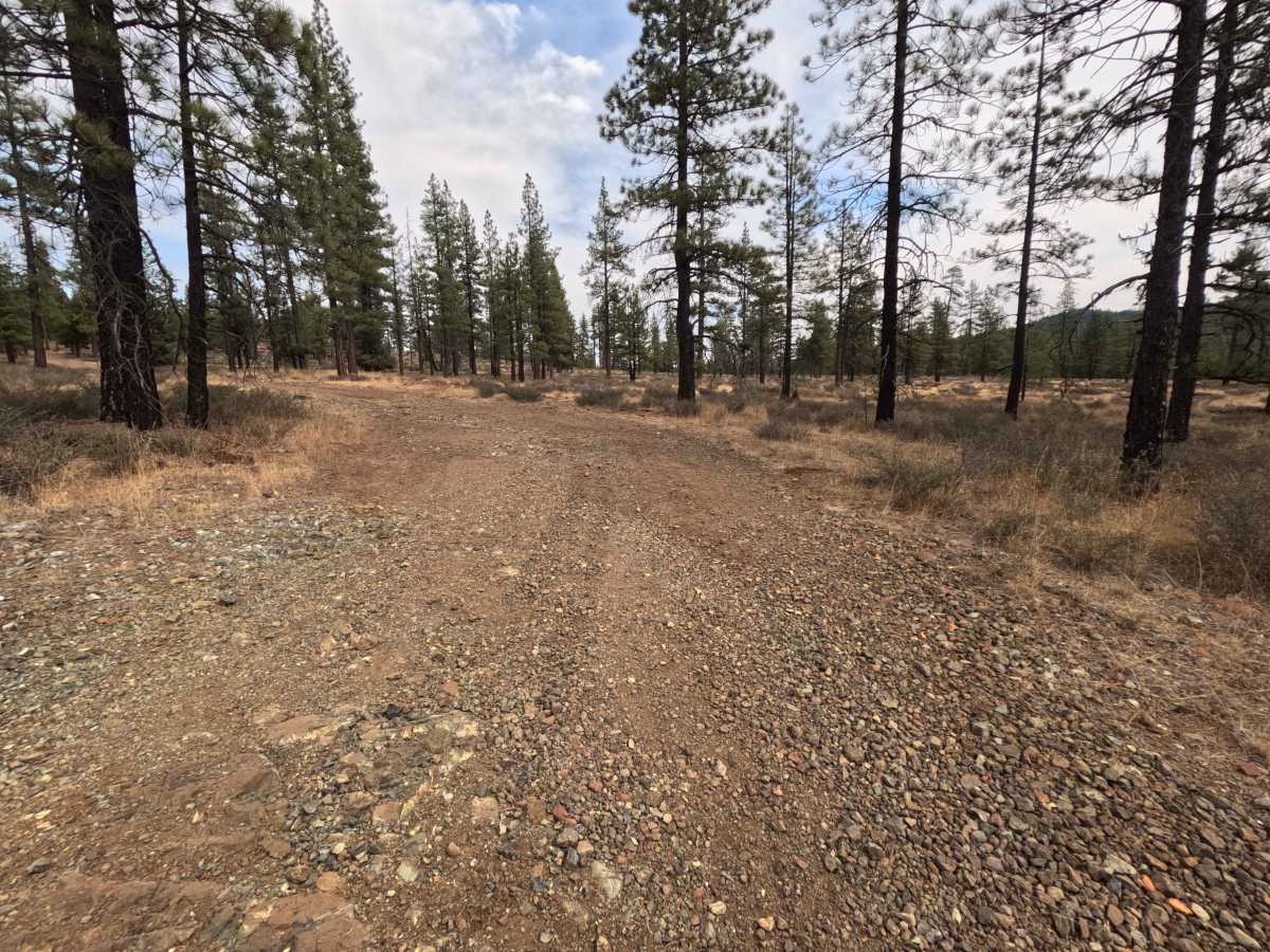
Rock Creek (FS 8M11) is assigned a modest difficulty rating of 3, featuring a mostly packed dirt and gravel surface that meanders through the grassy woodland. The primary obstacles earning this rating consist of a series of rocky dips encountered toward the final stretch of the spur. Drivers will also notice scattered small stones and minor unevenness embedded in the single-track ruts, requiring a steady pace to avoid unnecessary tire slip or undercarriage scrapes. The mild articulation needed for the uneven terrain and shallow dips is completely manageable for cautious navigation, ensuring a smooth arrival at the final camping area.