Trail Overview
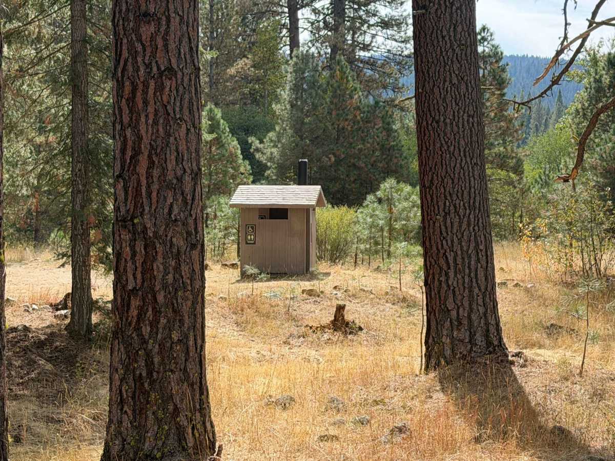
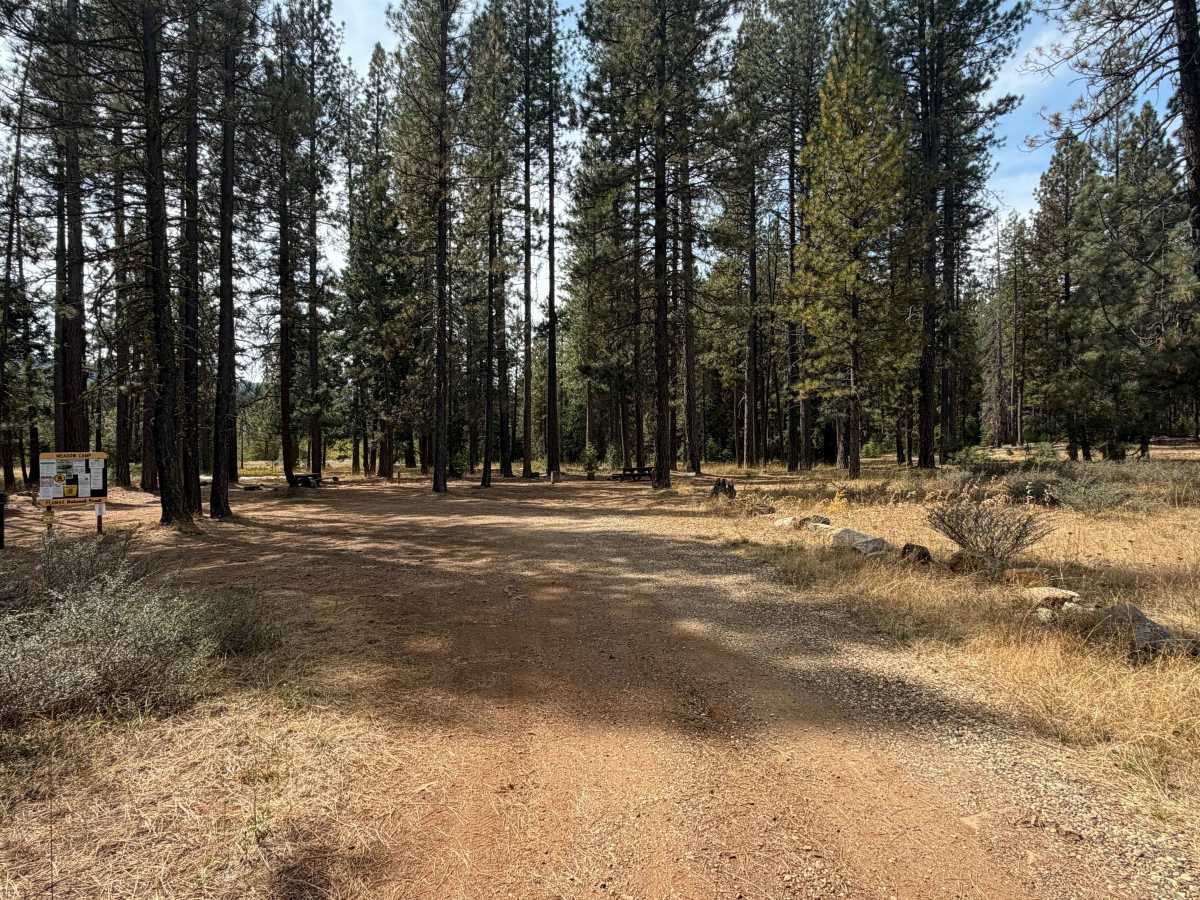
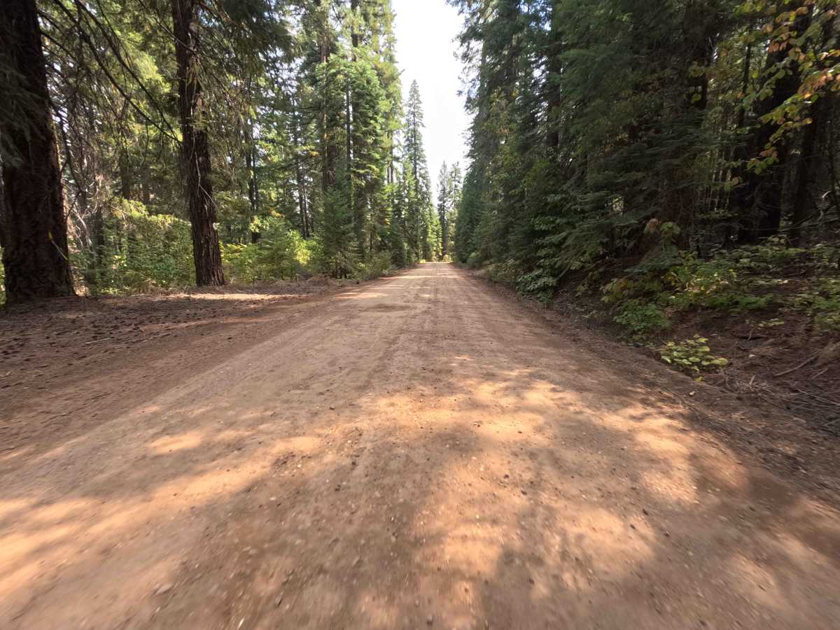
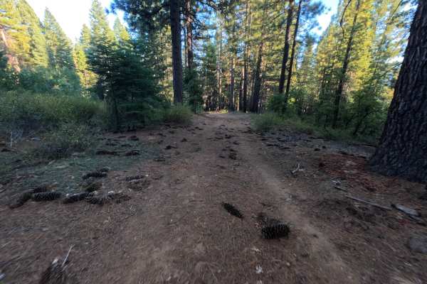
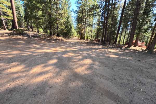
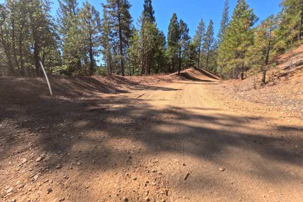
Serving as a scenic connector route through the dense, towering conifer woodlands of Plumas National Forest, Schneider Rock (FS 24N29) links Bucks Lake Road to Slate Creek Road. This tranquil thoroughfare guides visitors beneath a thickly shaded canopy, surrounded by a lush green understory and sweeping pines. Outdoor enthusiasts primarily utilize this route to reach Meadow Camp Campground, a beautiful designated recreation area located along the drive that features well-maintained picnic tables, an informational kiosk, and a privy. Aside from camping, the route offers excellent throughput deeper into the wilderness, facilitating access to nearby intersecting hiking networks like the Pacific Crest Trail that passes through the Bucks Lake region. While navigating this mellow path, drivers should remain alert for pedestrians, campers, and hikers sharing the peaceful forest corridor. According to the original survey notes, the journey covers a flat 4.6 miles and takes just over an hour; however, the provided GPX track data logs a rapid trip time of under six minutes, indicating a significant discrepancy in the recorded elapsed time.
Difficulty
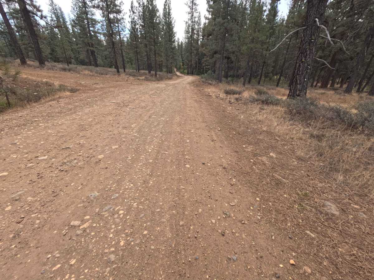
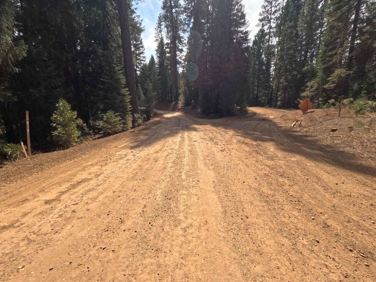
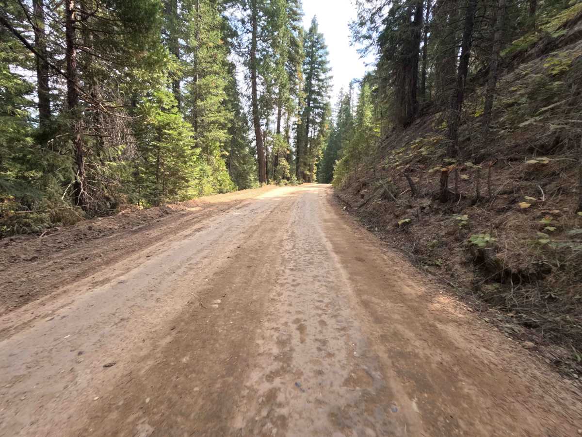
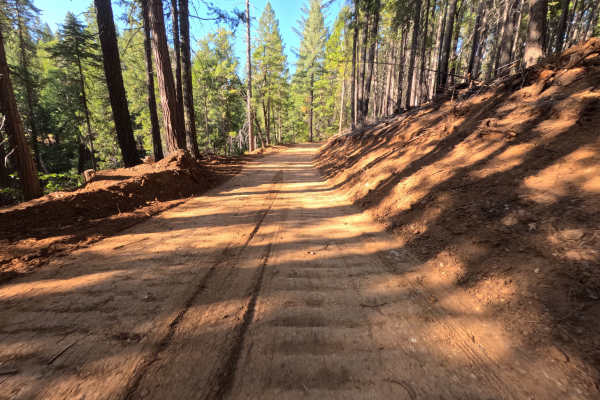
Schneider Rock (FS 24N29) earns a very mild difficulty rating of 1, presenting a remarkably easy and stress-free drive. The route consists of a wide, single-track, hard-packed gravel and dirt surface that remains predominantly flat and well-graded from start to finish. With no significant obstacles, deep ruts, or steep, loose grades to contend with, the smooth pathway is highly accessible for a wide variety of users. The track is comfortably wide enough to allow careful passing in most sections, making for a pleasant and leisurely cruise through the forest landscape.