Trail Overview
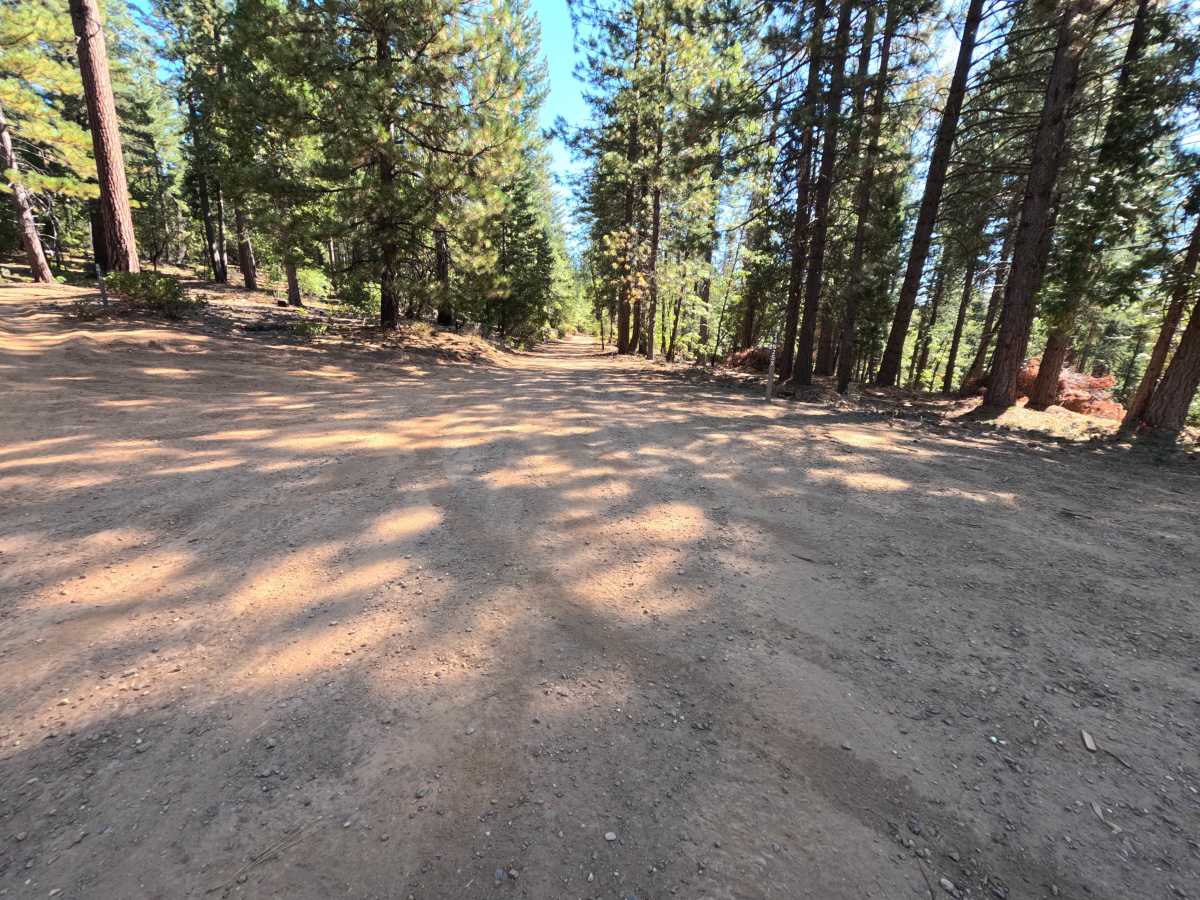
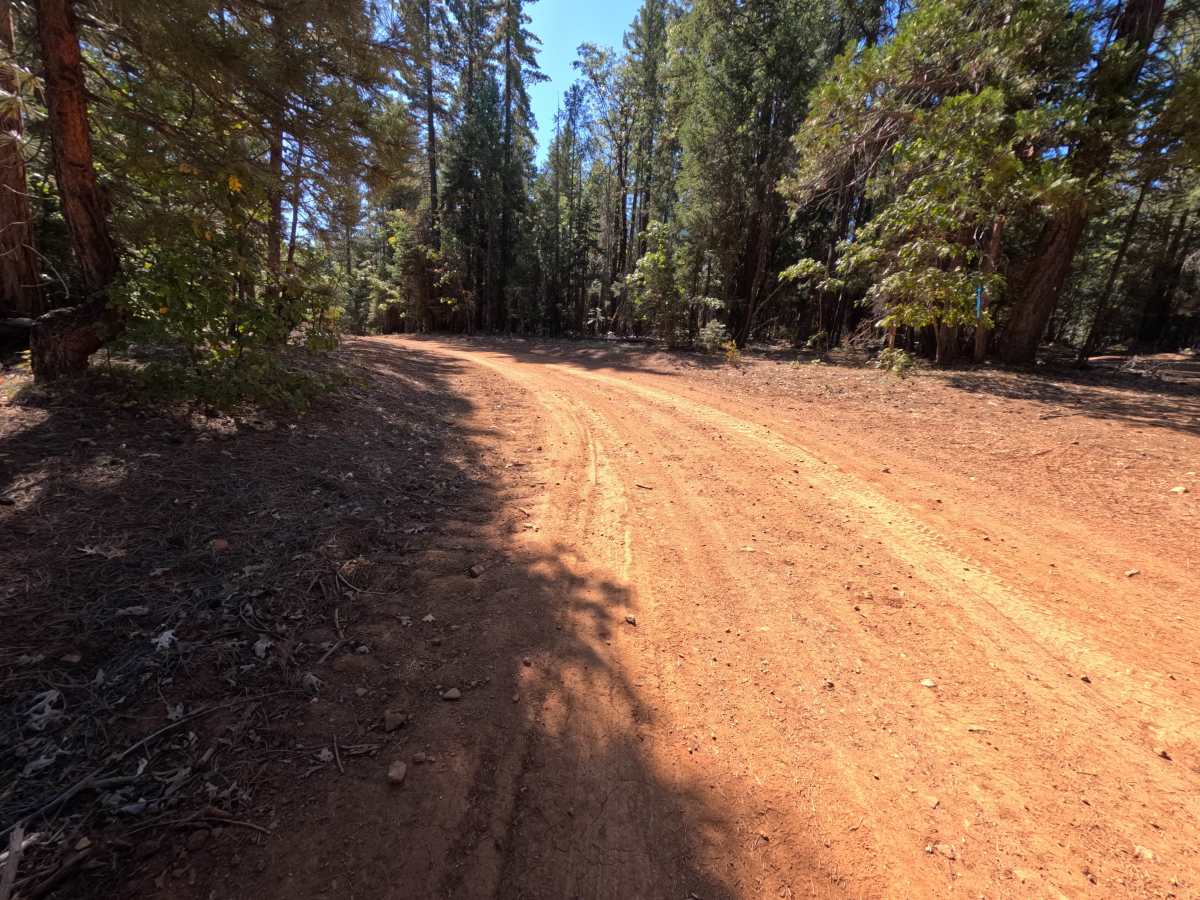
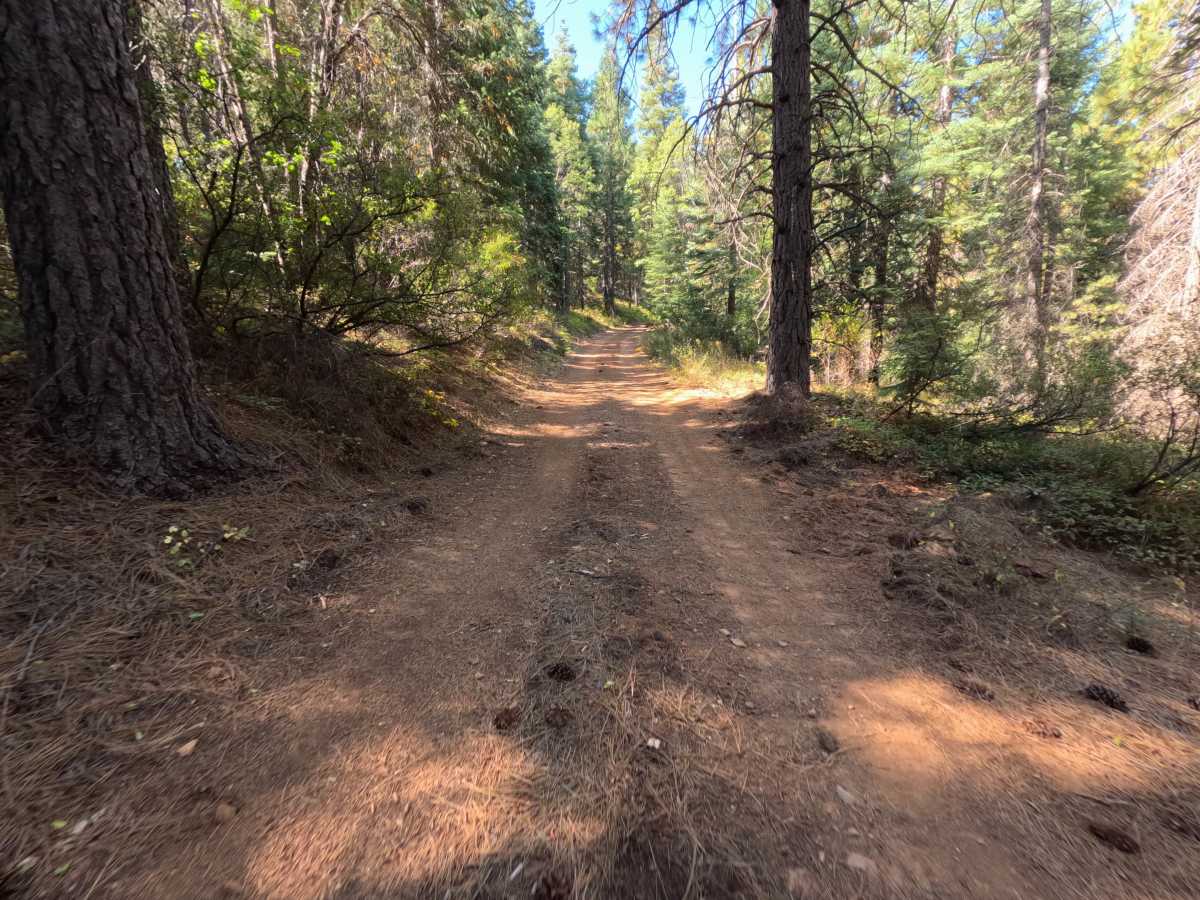
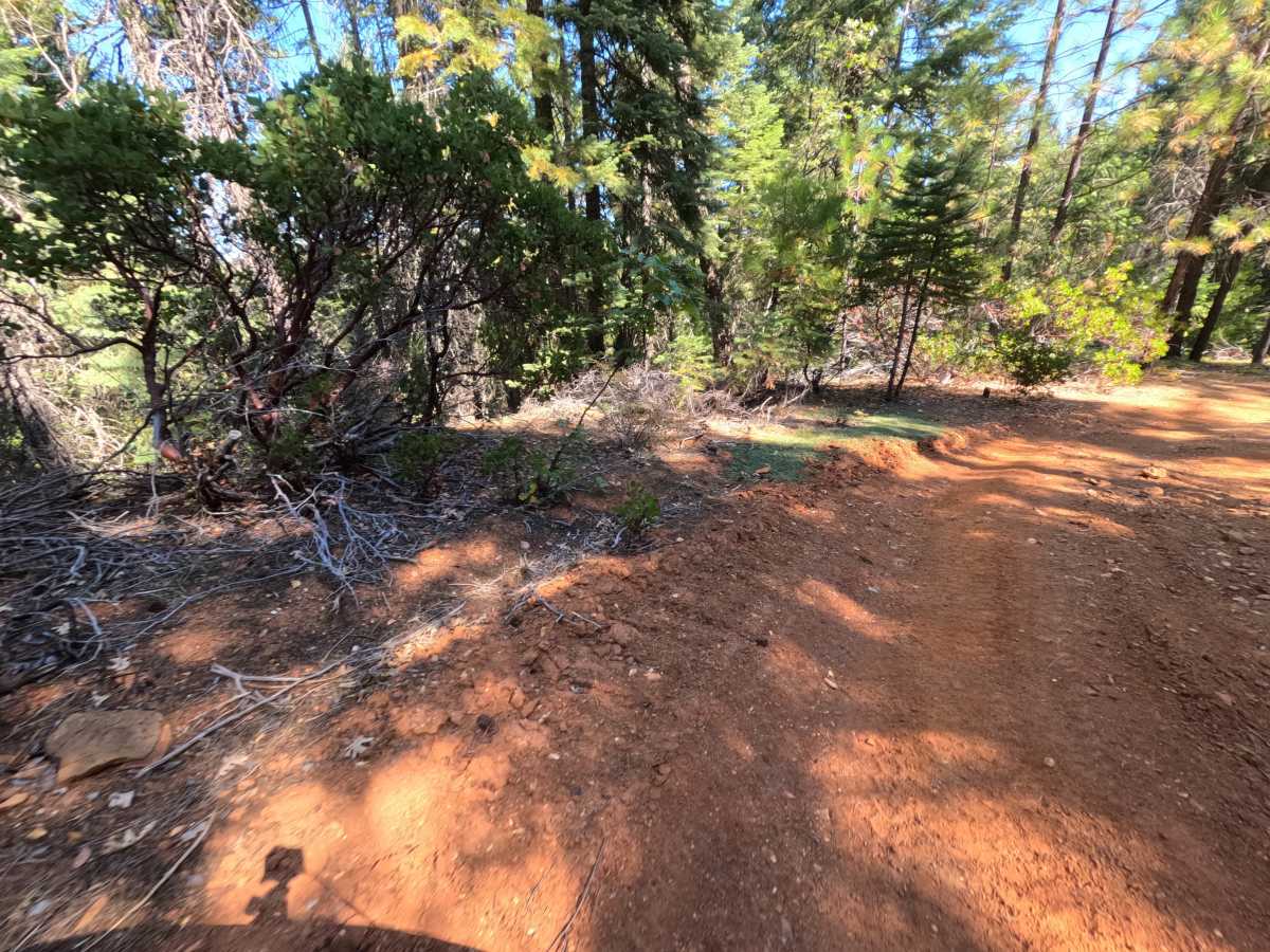
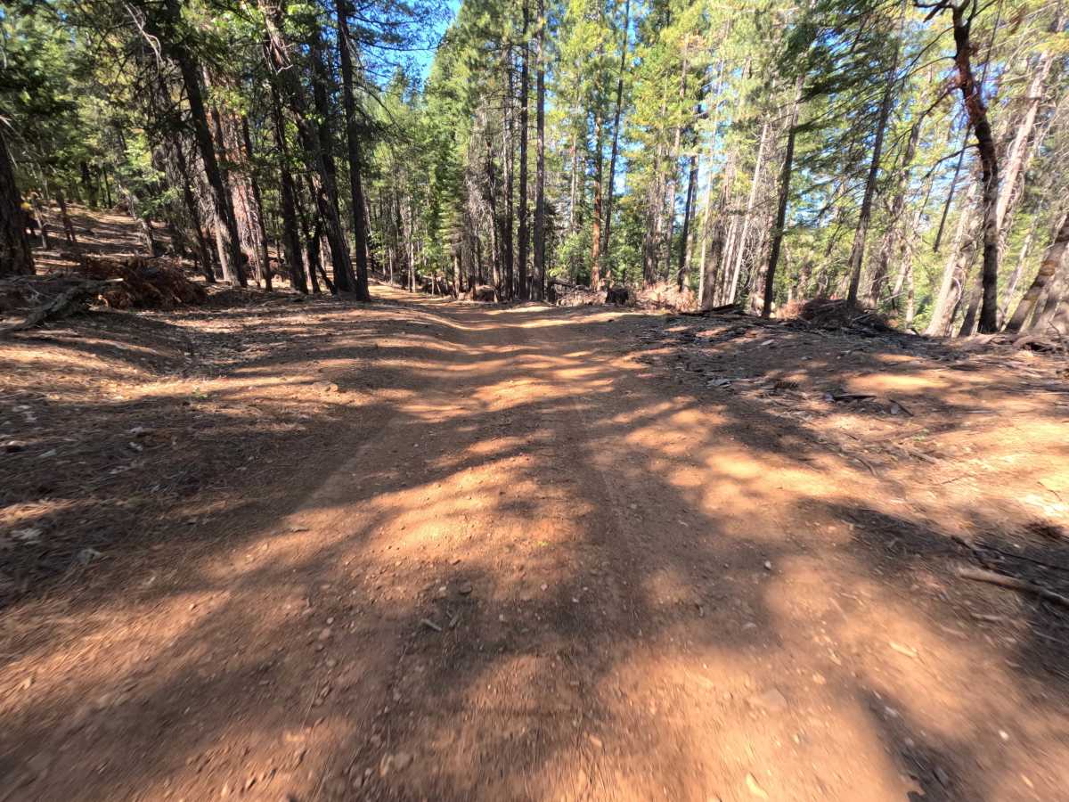
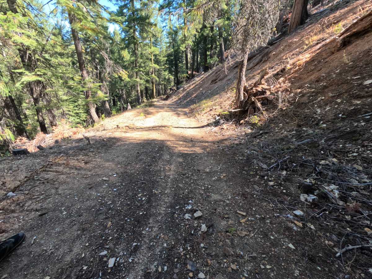
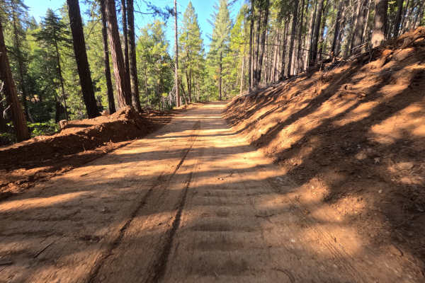
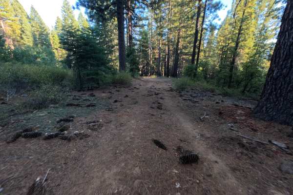
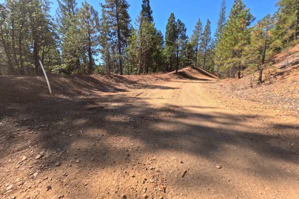
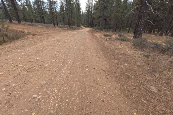
Gopher (FS 24N25X) leaves Mountain House Road in the Plumas National Forest and runs roughly 7.1 miles as a long out-and-back dirt route, serving several side spurs along the way. The drive follows hillsides and a long ridgeback through a green, largely unburned forest of tall ponderosa pine, cedar, fir, and black oak, with manzanita and young conifers crowding the shoulders and cut banks rising on the uphill side. In places, the trees part for glimpses of the forested ridges and canyons of the Feather River country. The surface is hard-packed red dirt with fine gravel and scattered small stones, generally flat and easy, narrowing toward the far end where brush closes in and the tread turns a little bumpier. Dispersed camping is plentiful, from single-vehicle spots on the ridge to roomy flats with space for four or five vehicles, including a large boulder-lined site near an intersection. The route ends on a hillside with room to turn around. Summer and fall offer the best conditions.
Difficulty
Rated a 1 because this is a firm, hard-packed dirt road with gentle grades and no meaningful obstacles. Small stones, pine needles, and fallen bark are scattered across the surface, and the final stretch becomes narrower and a little bumpier as brush closes in. There are no ruts, rock obstacles, ledges, steep pitches, or water crossings anywhere along the route. Standard ground clearance is all that is needed.

 Offroad