Trail Overview
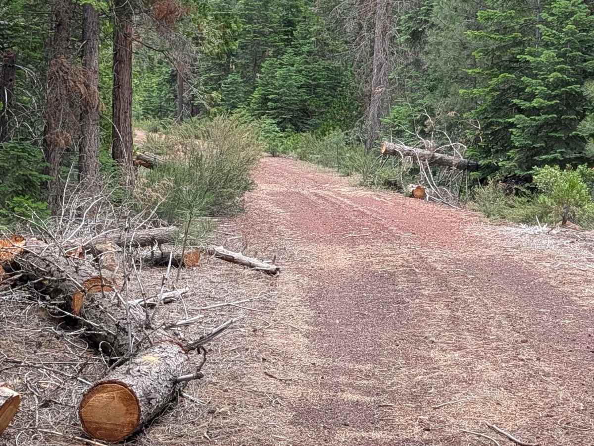
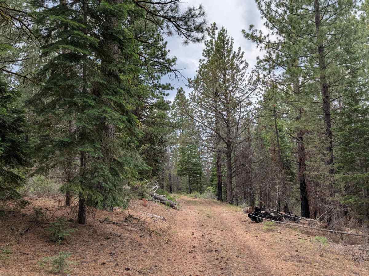
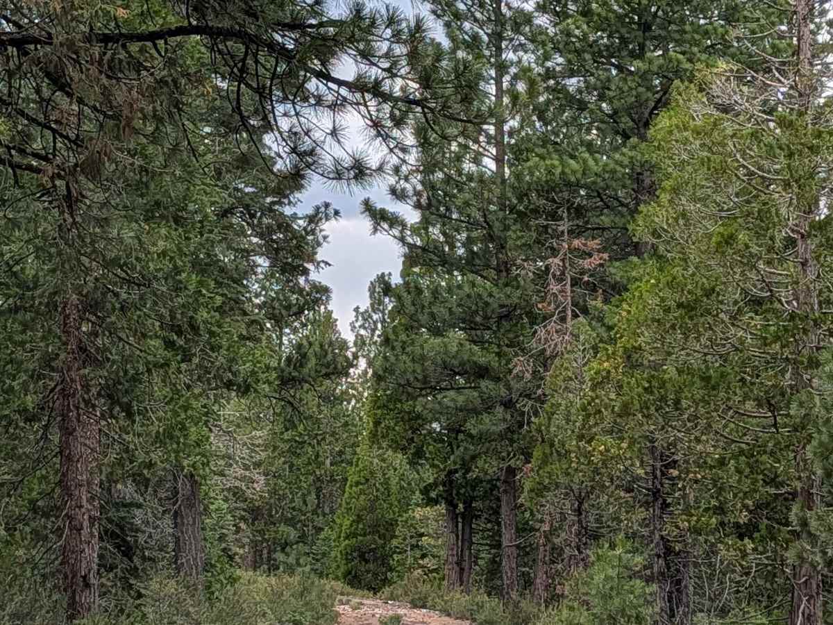
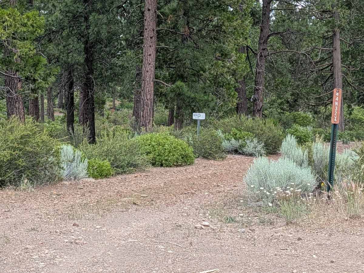
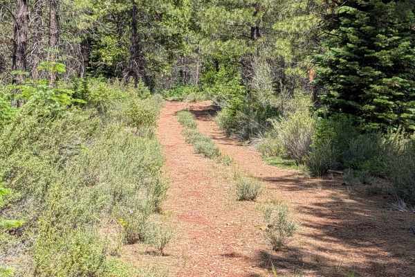
This 2-mile point-to-point trail is a scenic connector running between Cheatgrass - FS44N10 and the Railroad Grade 77 road. It traverses a beautiful, mature stand of tall pine trees within the Klamath National Forest. The area shows clear evidence of active forest management; prescribed burns have been utilized here—likely contemporaneous with the 2021 Antelope fire management efforts—to reduce thick ground cover and mitigate wildfire risk. The trail offers sporadic, rewarding glimpses of the surrounding mountain ranges as they peek through the gaps in the tall timber, providing a tranquil and reflective driving experience.
Difficulty
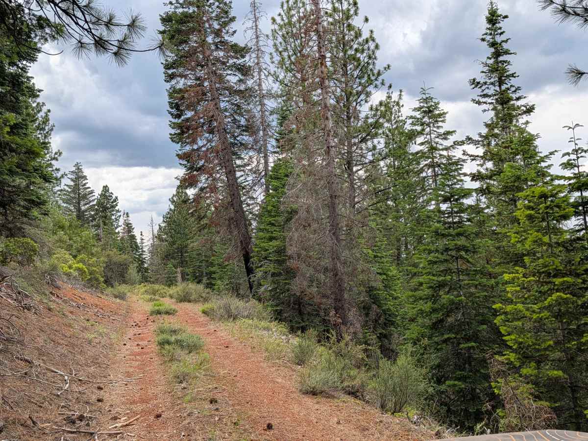
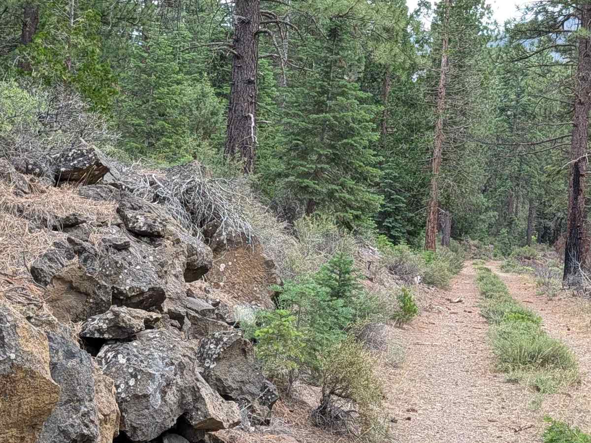
Carrying a rating of 2, the trail is manageable but requires caution. The surface is loose dirt, heavily carpeted with pine needles and cones, which can reduce traction, especially on inclines. A significant portion of the route runs along a shelf road with a steep drop-off into the forest, necessitating steady speed and precise steering. You will also encounter a distinctive section where large, imposing rocks line the trail edges, narrowing the path. Furthermore, there is some overgrowth in the center median that necessitates high clearance to avoid undercarriage contact.


 Offroad