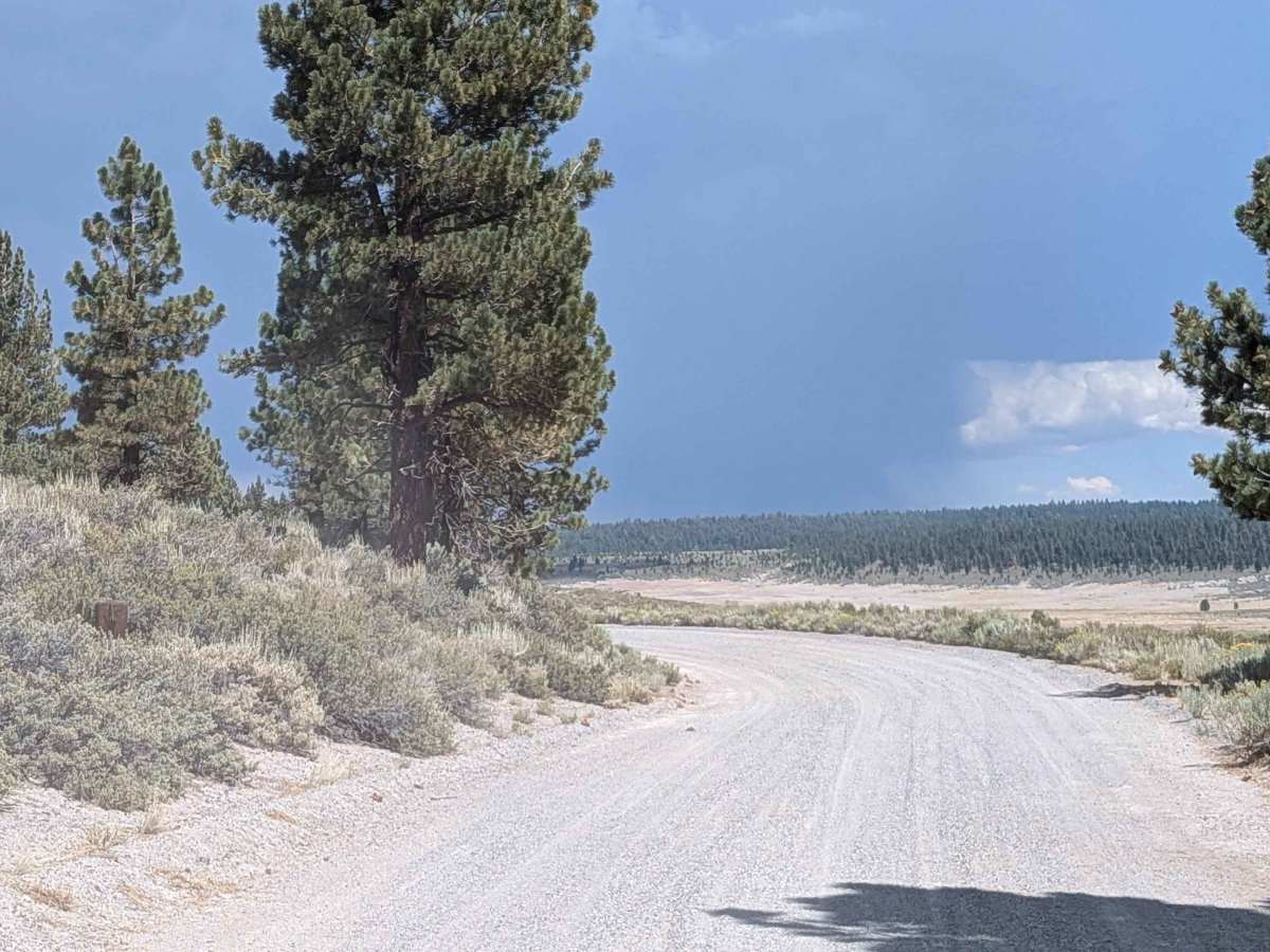
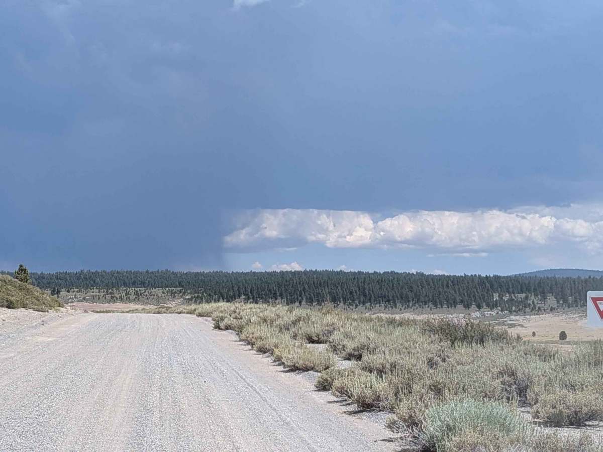
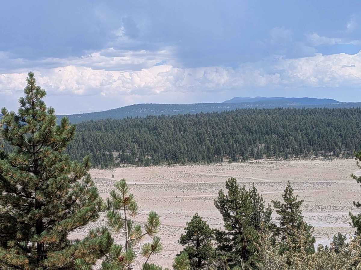
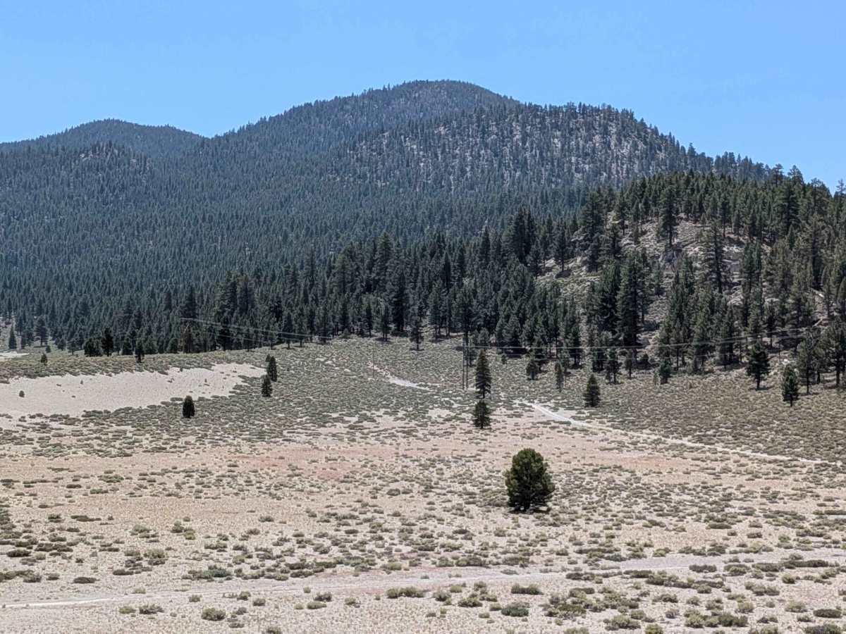
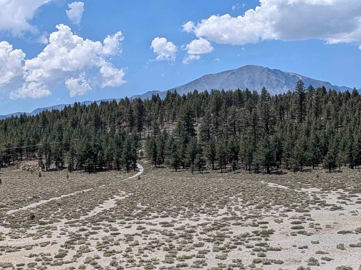
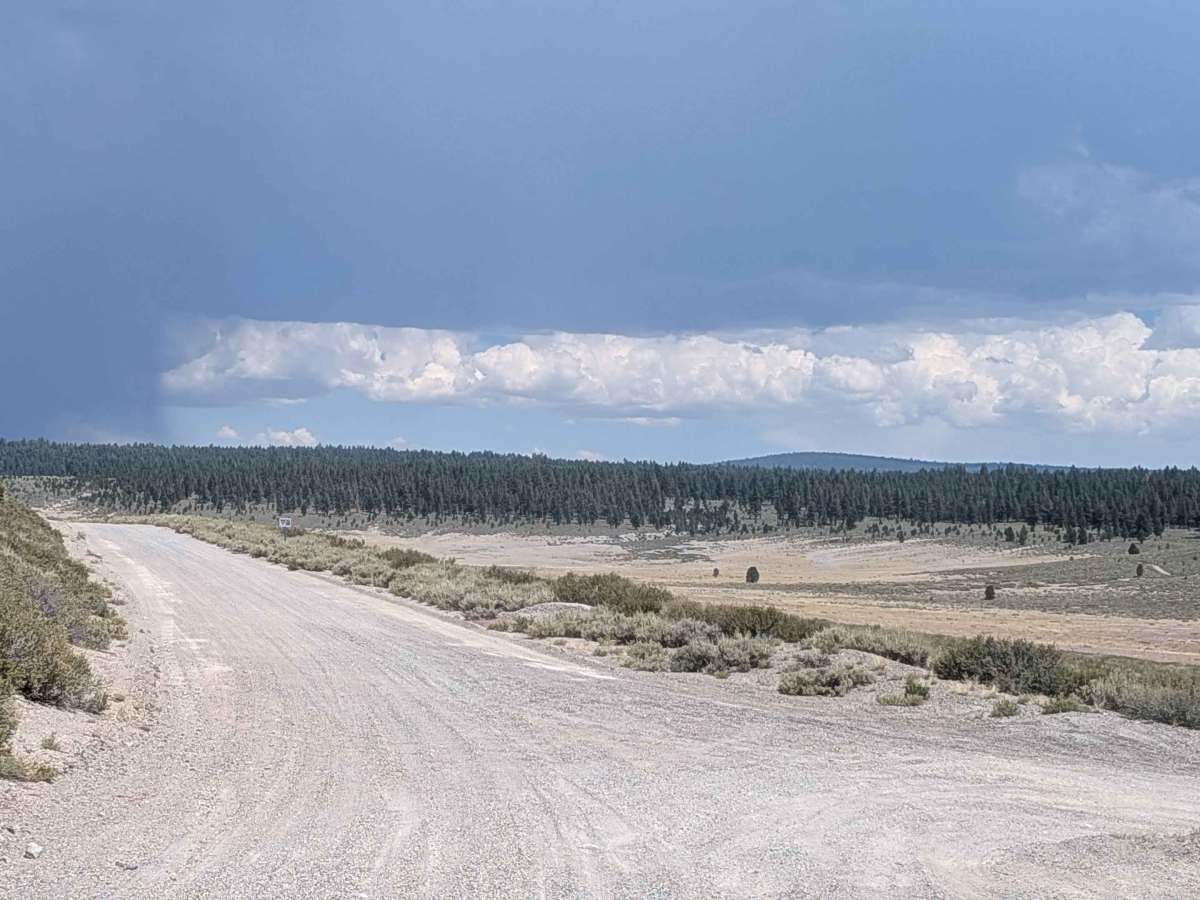
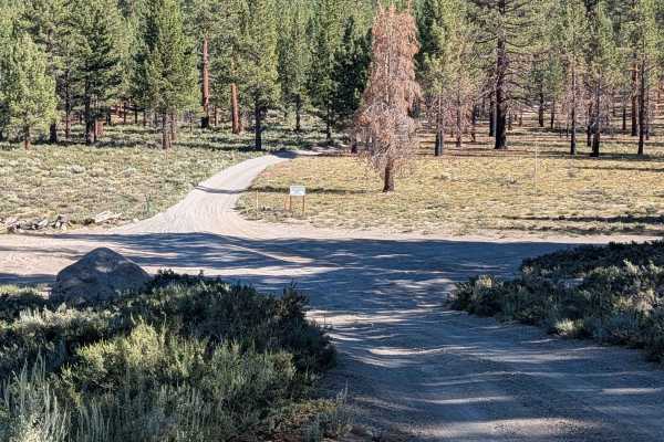
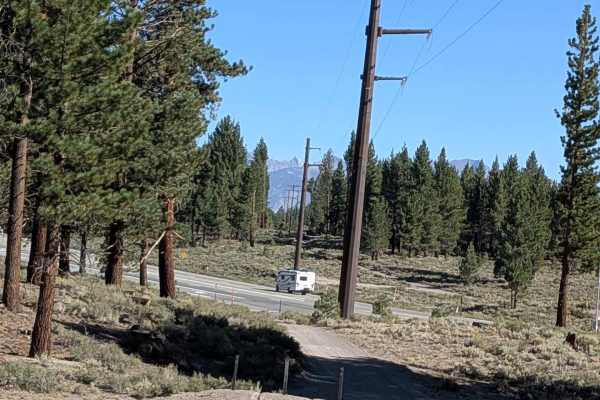
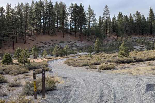
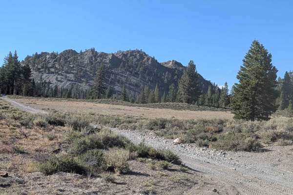
Trail Overview
This 9-mile out-and-back trail climbs over 700 feet toward the Pumice Mine. Access points include FS1S127, FS2S08, and FS1S122, with several spur trails to explore along the way. The trail travels through a mix of sparse forest and open meadows, offering expansive views of the Eastern Sierra mountains. The surface is a combination of sand and gravel, with numerous washboards throughout the route. The trail ends at an active mine, so be aware of haul trucks as they have the right of way. There are sections of deep sand where high clearance is not required, but 4x4 is highly recommended. The trail ranges from 2 to 3 vehicles wide, making it accessible for most rigs while still providing a fun off-road experience.
Difficulty
This trail is slightly challenging due to the climb, deep sand sections, and washboards. High clearance and 4x4 are recommended for safer travel, especially near the mine access.
History
The history of pumice mining in Mono County, specifically around Pumice Mountain, is linked to the broader volcanic activity of the Mono-Inyo volcanic chain and the Long Valley Caldera. While Pumice Flat (near present-day Mammoth Lakes) was a focus of early mining activity in the area, the specific "Pumice Mountain Mine" isn't explicitly identified in the provided search results. However, pumice mining in the region has been ongoing since the mid-1940s, primarily for use as a lightweight aggregate in building materials.