Trail Overview
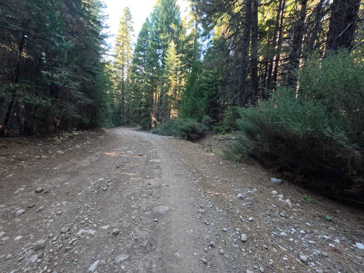
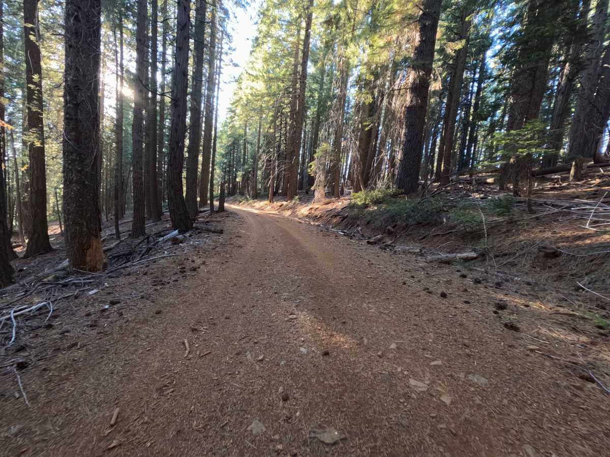
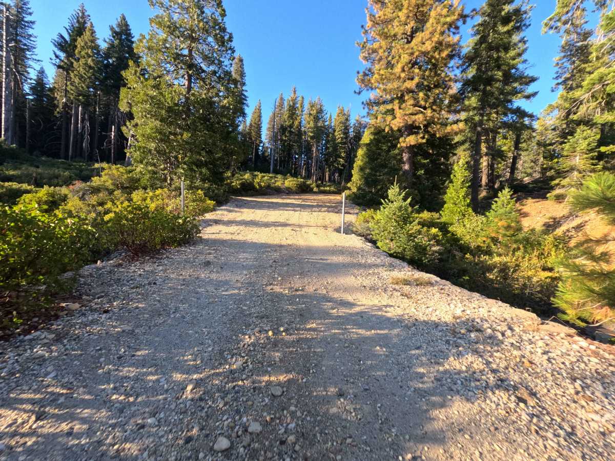
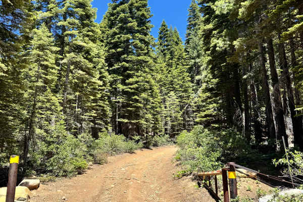
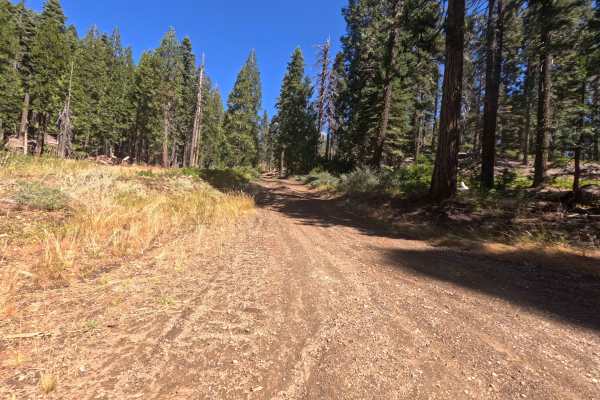
Starting at the boundary of a private land parcel, Port Wine Ridge Road serves as an extensive, point-to-point historic corridor weaving through the Plumas National Forest. The route initially dips down across a flowing creek before steadily climbing to traverse an elevated mountain shelf. Traveling through a dense, thriving evergreen canopy, this single-track dirt and gravel pathway grants access to incredibly rich 19th-century gold mining history. Backcountry explorers, history enthusiasts, and off-grid campers come to this area to visit the remnants of Howland Flat near the six-mile mark and to utilize the exceptional camping opportunities scattered along the route. At 1.7 miles, visitors will find a secluded dispersed campsite that also serves as the trailhead for a beautiful, unmarked rock-lined walking path leading into the timber. Further along, the road reveals several more multi-vehicle campsites, culminating in a massive ten-plus-vehicle staging area near a scenic pond and meadow at 4.7 miles. The historic pathway eventually concludes at an intersection with Poker Flat Road at 6.5 miles, providing seamless throughput to various other woodland spurs.
Difficulty
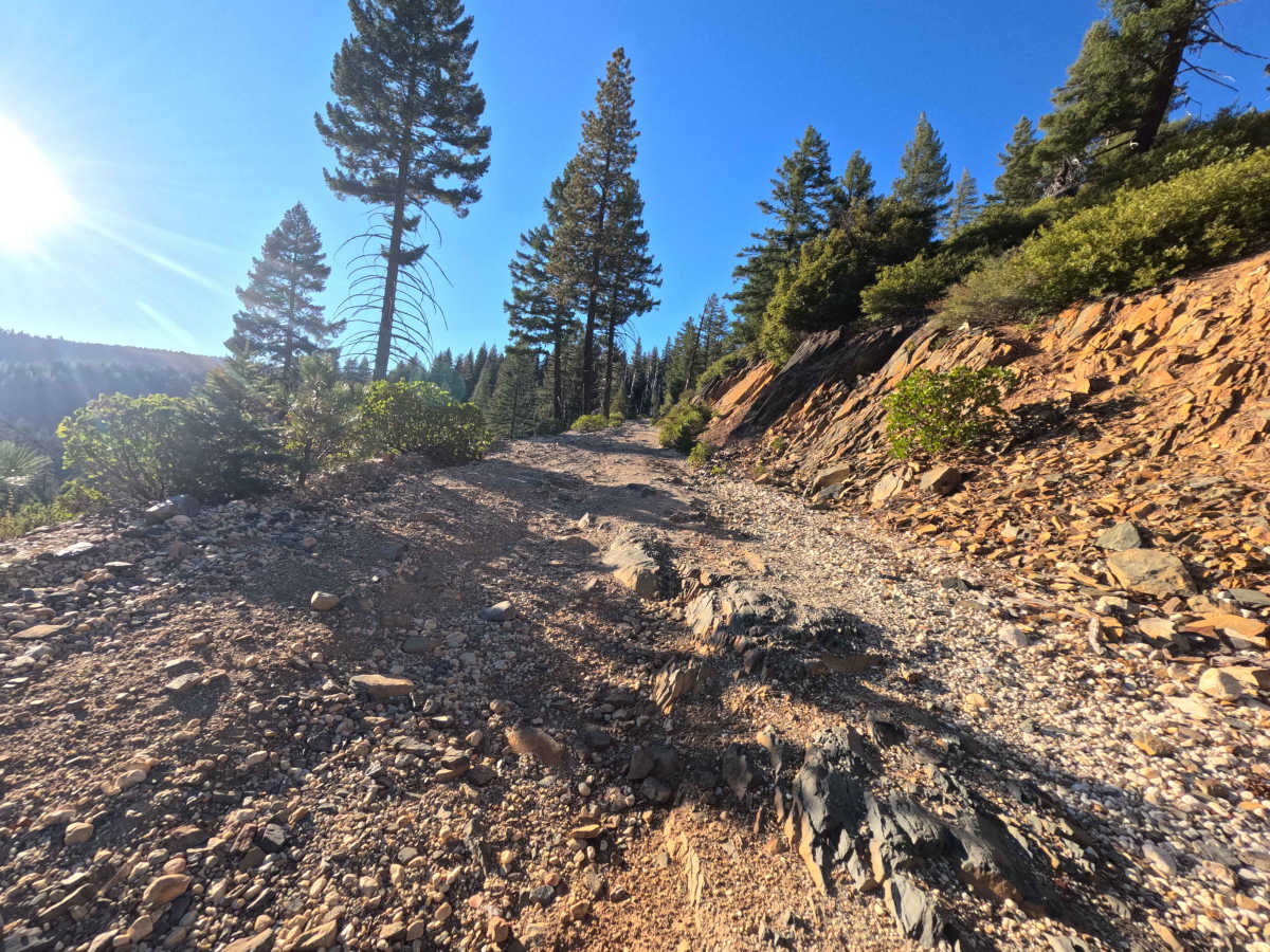
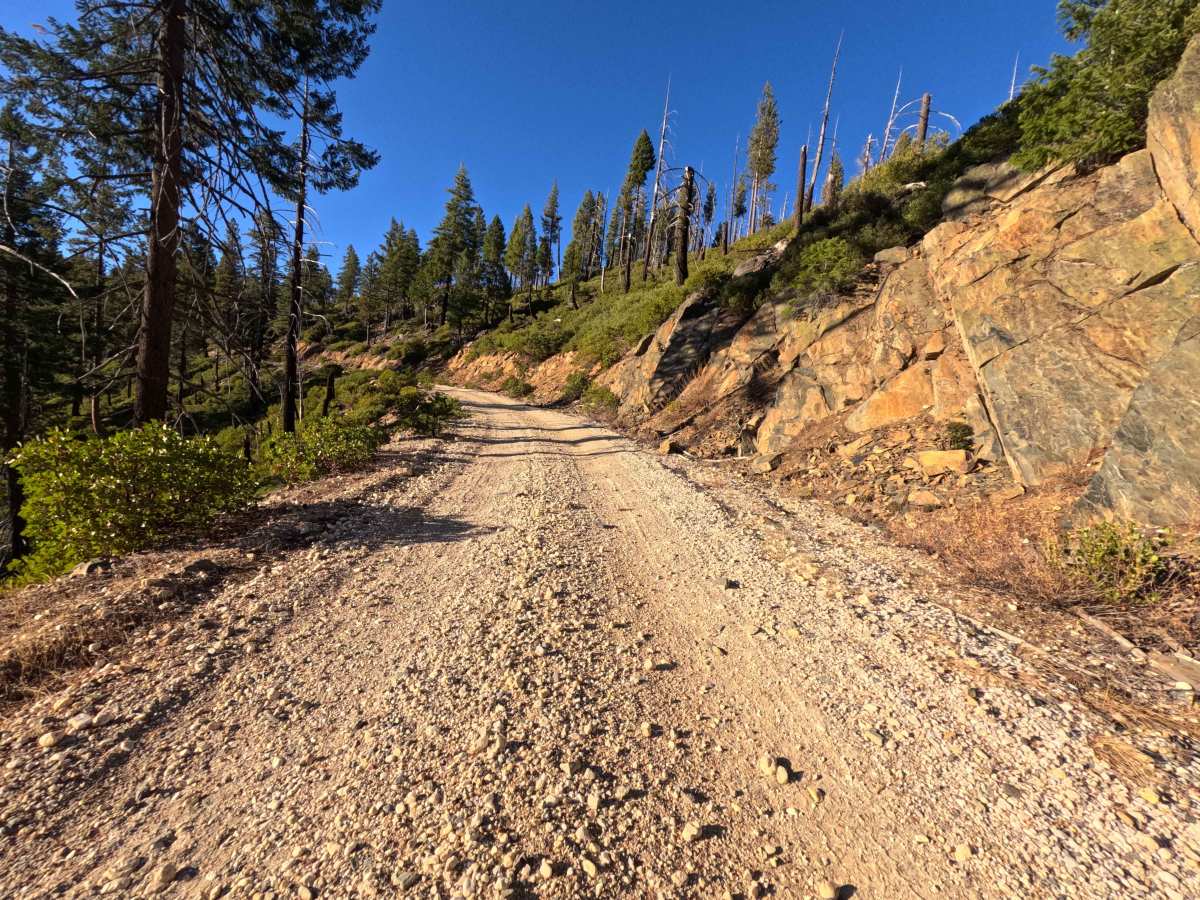
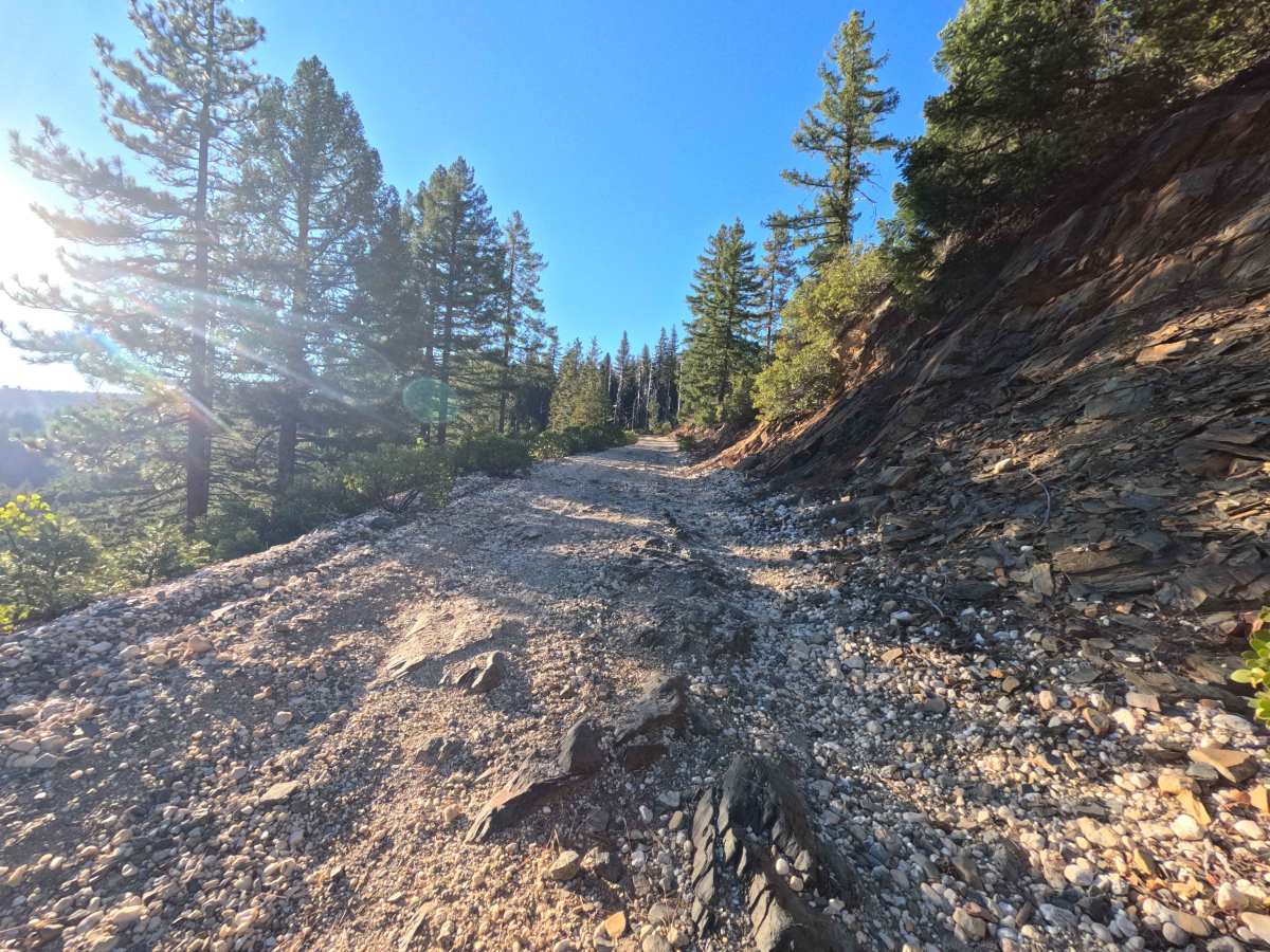
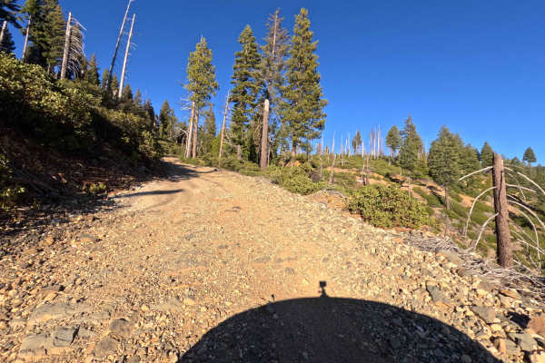
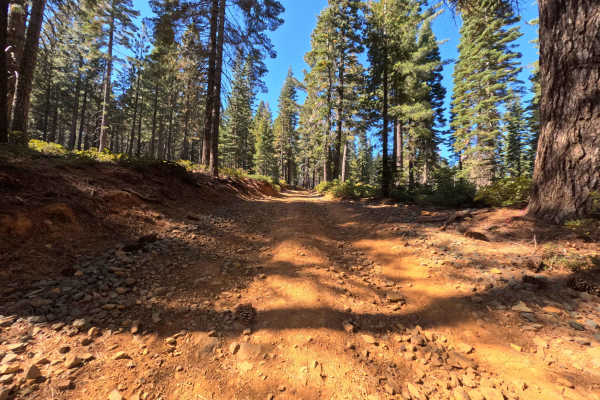
This historic single-track dirt track holds a moderate Level 3 difficulty rating due to persistent surface degradation and rugged rocky segments. While extreme mud trenches or perilous washouts are not present, operators must constantly navigate embedded stones and loose, rocky stretches as the road climbs high along the mountain shelf. The dense evergreen timber provides excellent shade but requires drivers to maintain spatial awareness to avoid minor brush contact along the narrower margins. With a predominantly rocky composition, successfully traversing this 6.5-mile corridor requires durable, all-terrain tires and elevated ground clearance to prevent harsh undercarriage impacts while traveling out to the historic mining settlements under normal, dry seasonal conditions.

 Offroad