Trail Overview
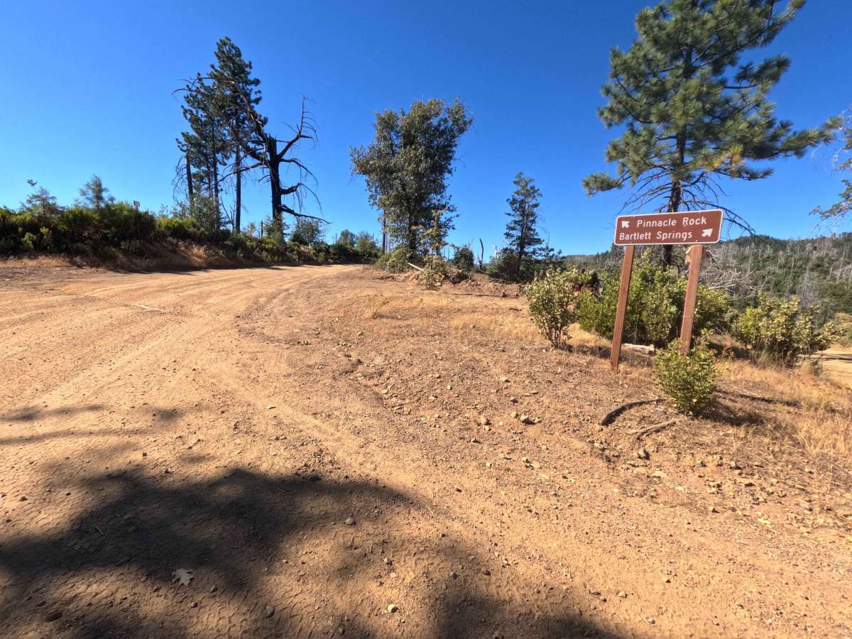
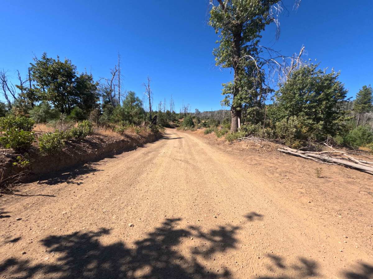
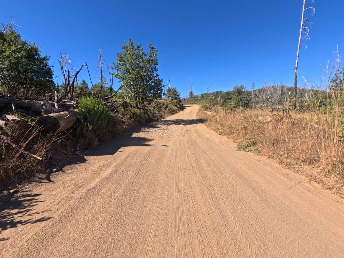
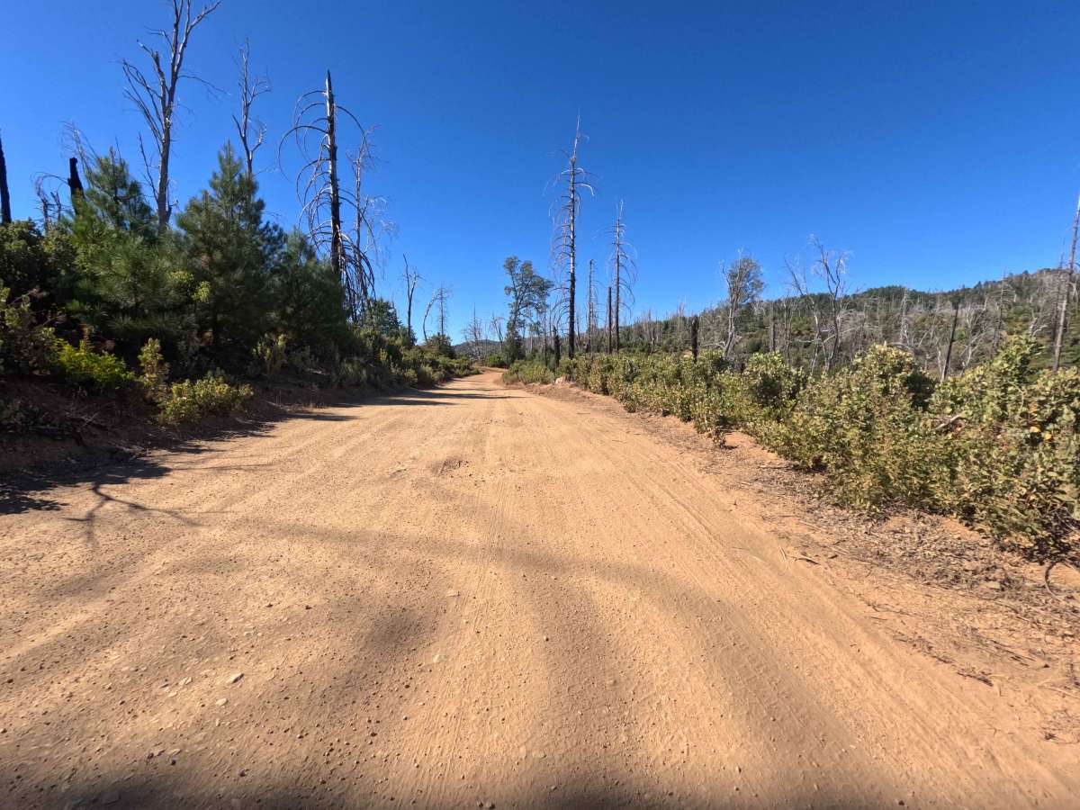
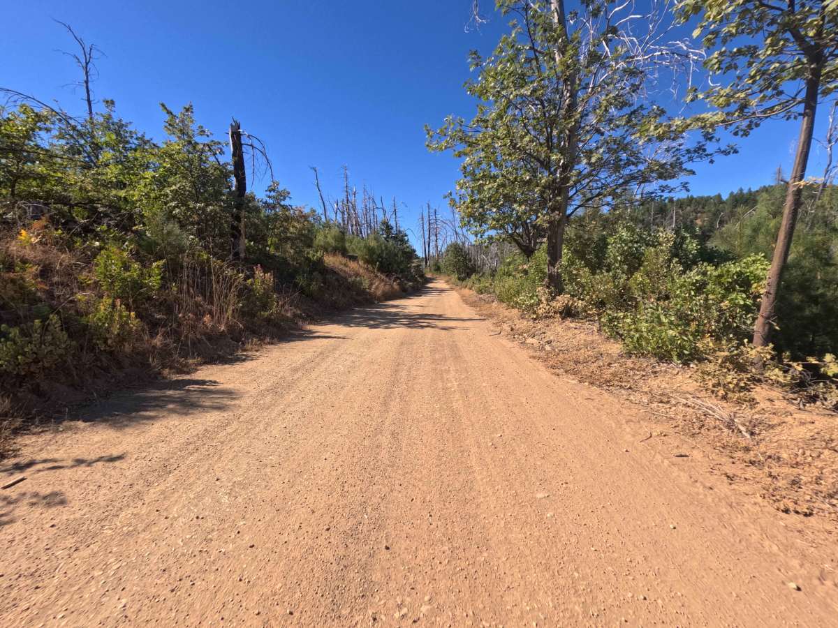
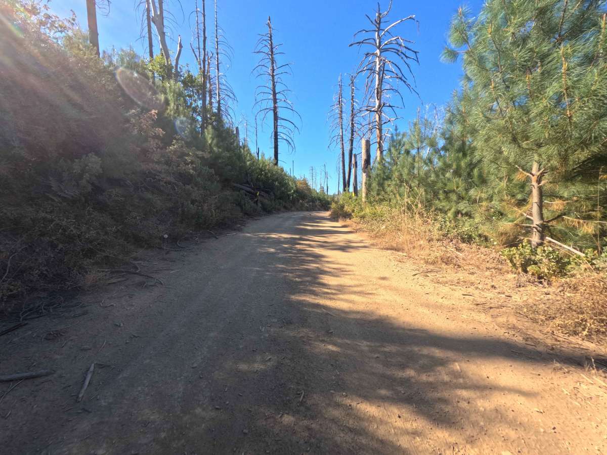
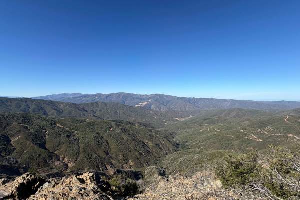
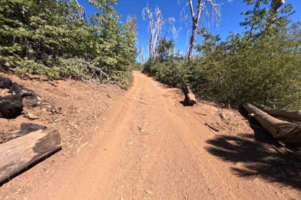
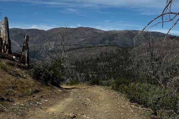
Set within an open mountain landscape recovering from the 2018 Ranch Fire with fresh brush regrowth and standing pine snags in the Mendocino National Forest, Pilot Grove (FS 16N01) offers an exceptionally scenic ridgeline drive. Accessed directly from Bartlett Springs Road at Bartlett Mountain Summit, this well-traveled out-and-back dirt spur traces the crest of the mountain for 2.5 miles before terminating at a private property line. Outdoor enthusiasts frequently navigate this peaceful ridge path to access primitive dispersed camping pullouts, reach the Pinnacle Rock side spur, or take in magnificent panoramic vistas overlooking Clear Lake and the surrounding valleys. The trail consists of a broad, well-maintained single-lane dirt surface free of major rutting, earning a gentle Grade 1 difficulty rating. The road maintains an easy, predictable gradient along the ridge, offering plenty of open space to pull over, soak in the mountain scenery, or enjoy an evening of stargazing. Vehicles must halt and turn around at the 2.5-mile mark, where clear private property warning signs mark the end of public access.
Difficulty
Earning an easy Grade 1 difficulty rating, this well-kept dirt ridge road presents a smooth, hard-packed surface with very little loose rock or elevation challenge. Technical obstacles, deep erosion gullies, and high-centering hazards are entirely absent along the entire 2.5-mile distance. Standard stock vehicles can effortlessly traverse the route during dry seasonal months by keeping a steady cruising speed and staying centered on the established dirt track. Drivers should simply slow down near the 2.5-mile endpoint where private property signs indicate the boundary, make a simple multi-point turnaround in the wide clearing, and return back along the ridge.


 Offroad