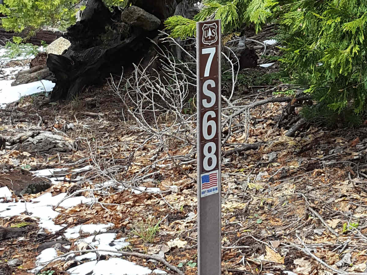
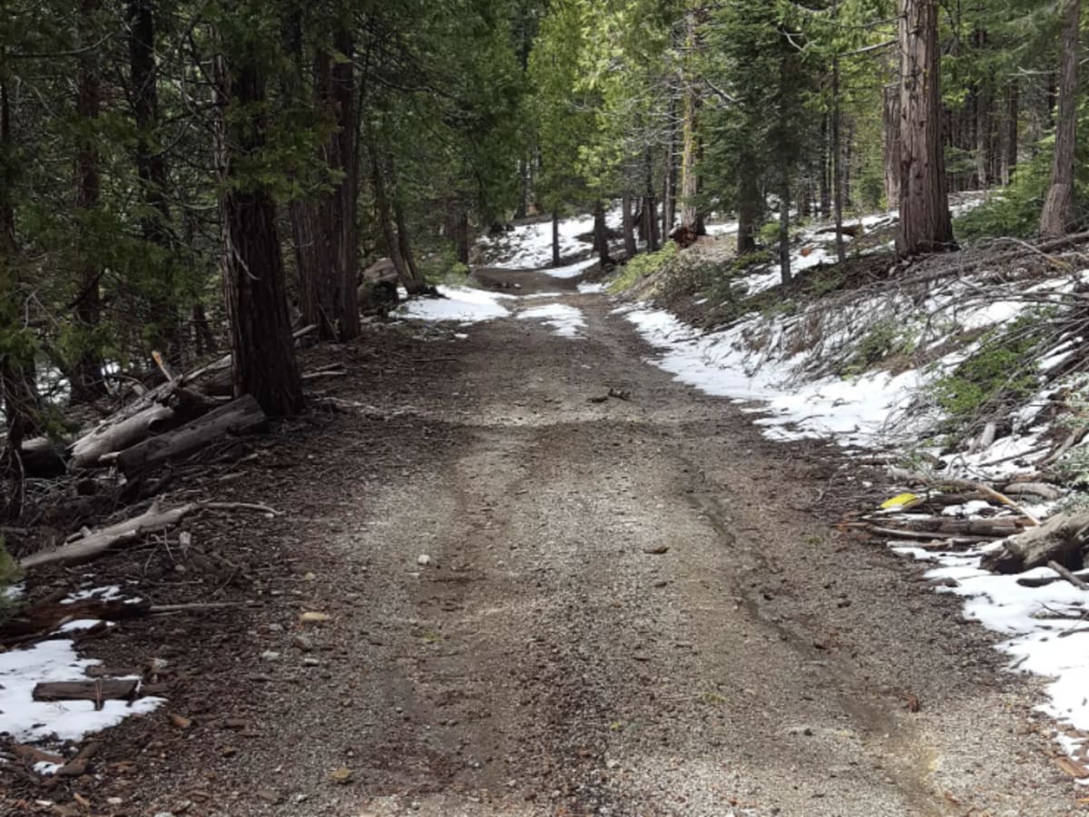
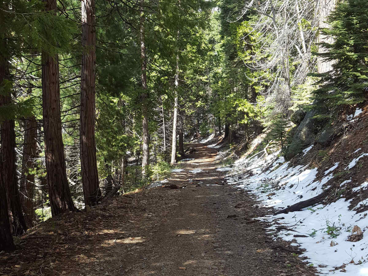
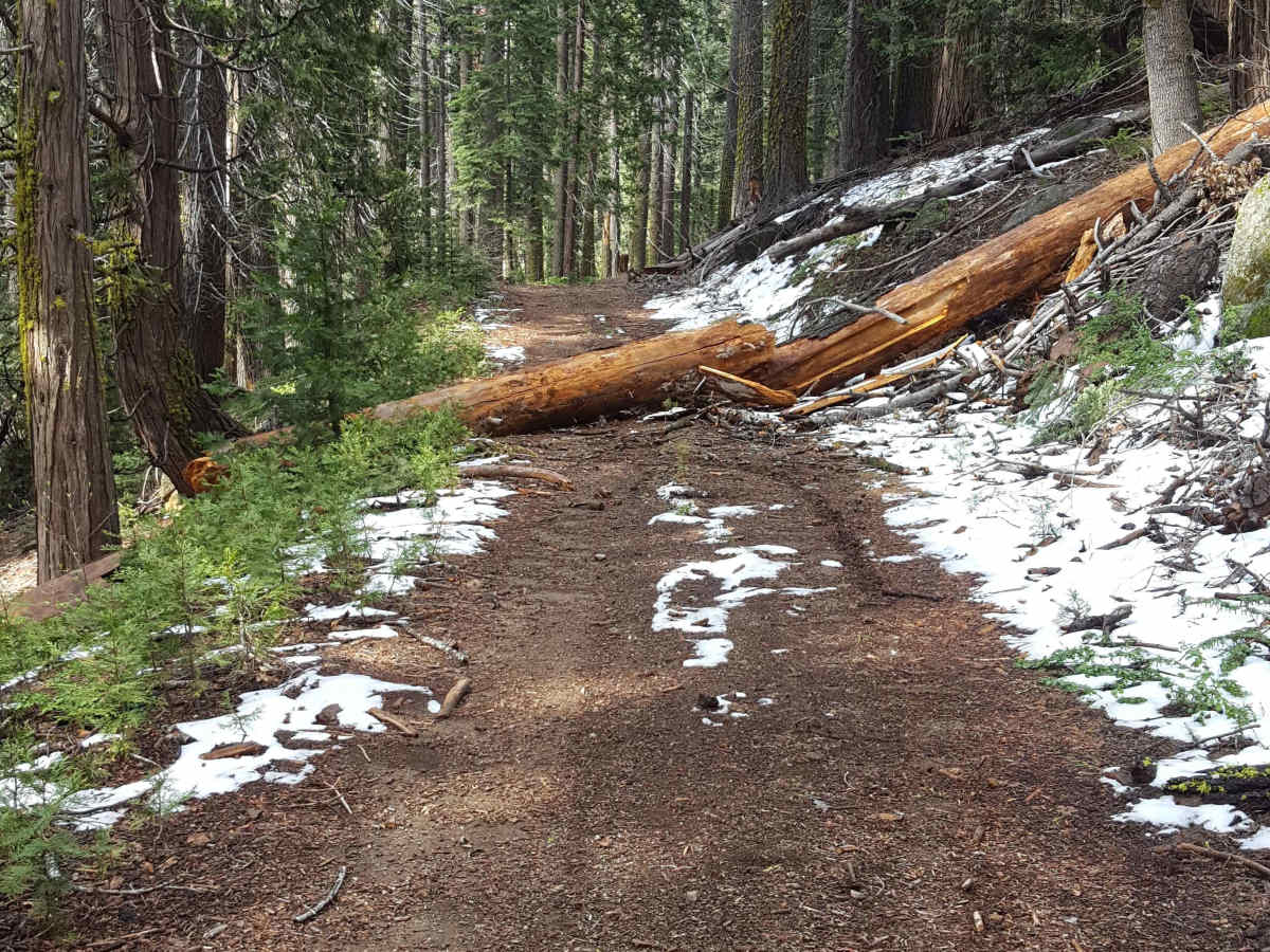
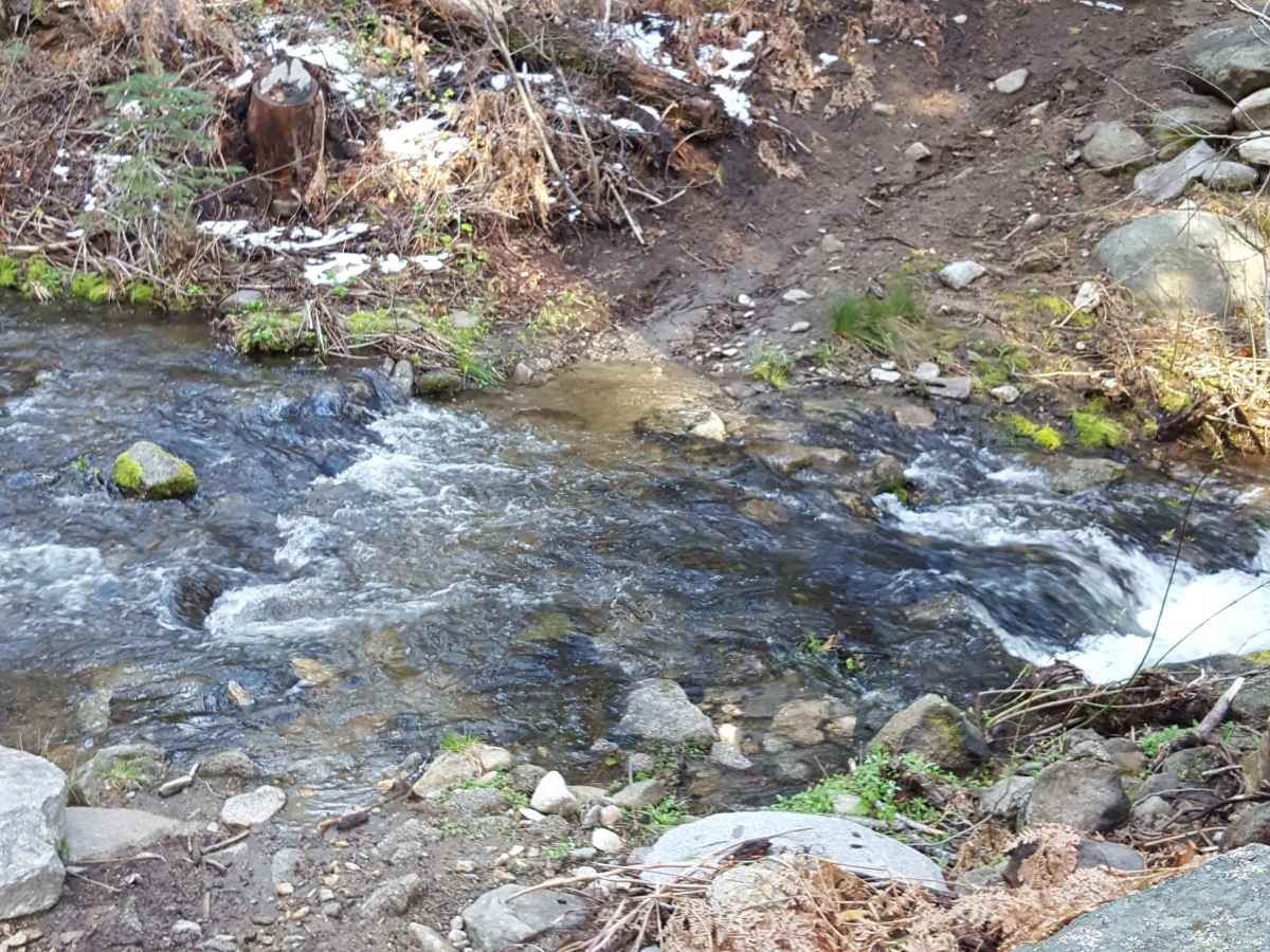
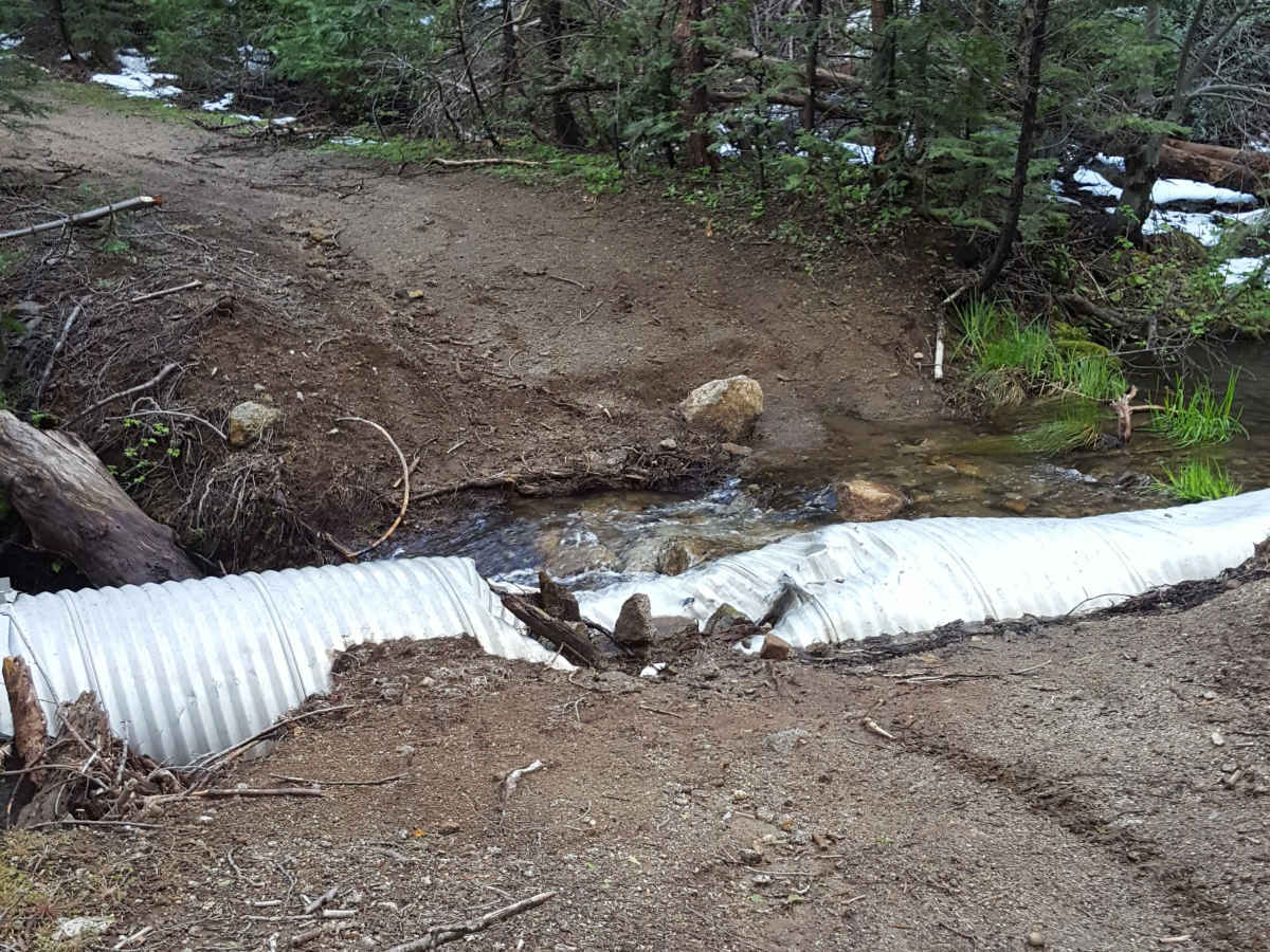
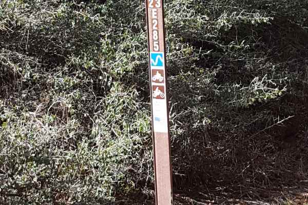
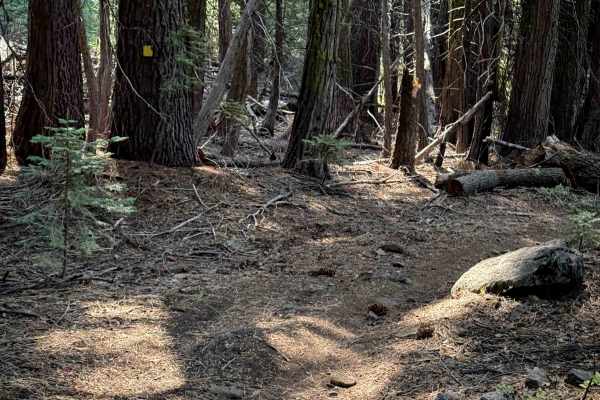
Trail Overview
This is a point-to-point trail that runs from Peckinpah Road to 23E284 and 23E285 Browns Trail. The route is at least as wide as a full-size vehicle and has a few wider sections to allow vehicles to pass each other. In some stretches, the trail runs along a steep slope on the western side of the route. The surface is primarily dirt with small embedded rocks. There can be occasional shallow mud holes during wet weather. Some sections are recovering from forest fire damage, so be aware that charred trees may be unstable or new fallen tree obstacles might be present on the trail. There is a water crossing at the end, which divides Pierce Mill and Browns Trail. This route, along with many others in the area are closed from December to mid-April/May. Weak/limited cellular phone service in the area, and there are no potable water sources available along the trail. Tread Lightly and Pack-It-Out.
Difficulty
Trail surface is primarily dirt with occasional small embedded rocks. There can be ruts and mud holes in places, but they are generally shallow and can be avoided. Vehicles with moderate clearance should be able to manage the full route with 2WD. Be aware that there are sections where trees have been damaged by fire and are unstable. Newly fallen trees may present unexpected obstacles across the trail.