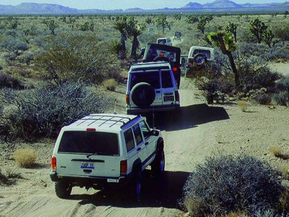
Trail Overview
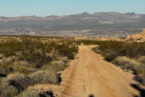
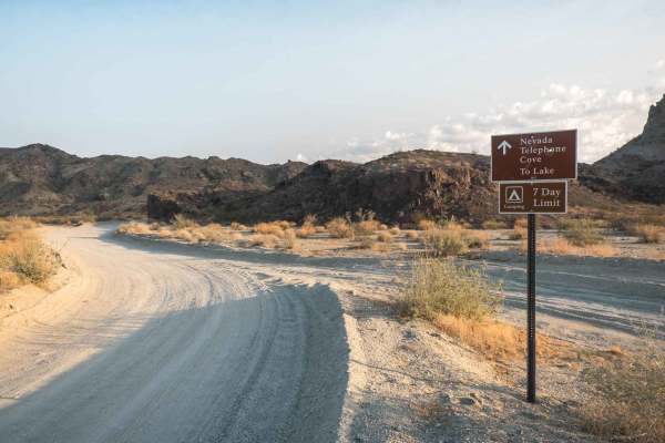
Mojave Road, East is an iconic desert trail designed for intermediate offroaders looking to trace a historic wagon route through stunning, remote desert landscapes. Starting near the Nevada state line, this trail demands patient navigation through unmarked dry washes and open desert flats. High-clearance, four-wheel-drive vehicles, capable stock SUVs, and SxSs can tackle the route, though once the trail reaches the boundary of the Mojave National Preserve, only street-legal vehicles are permitted to proceed. The terrain consists of dirt, loose gravel, and deep sand, with some steep, rocky, and rutted climbs that require careful tire placement and steady traction. Route-finding can be challenging, so drivers should follow the rock cairns placed along the right side of the trail to stay on course.
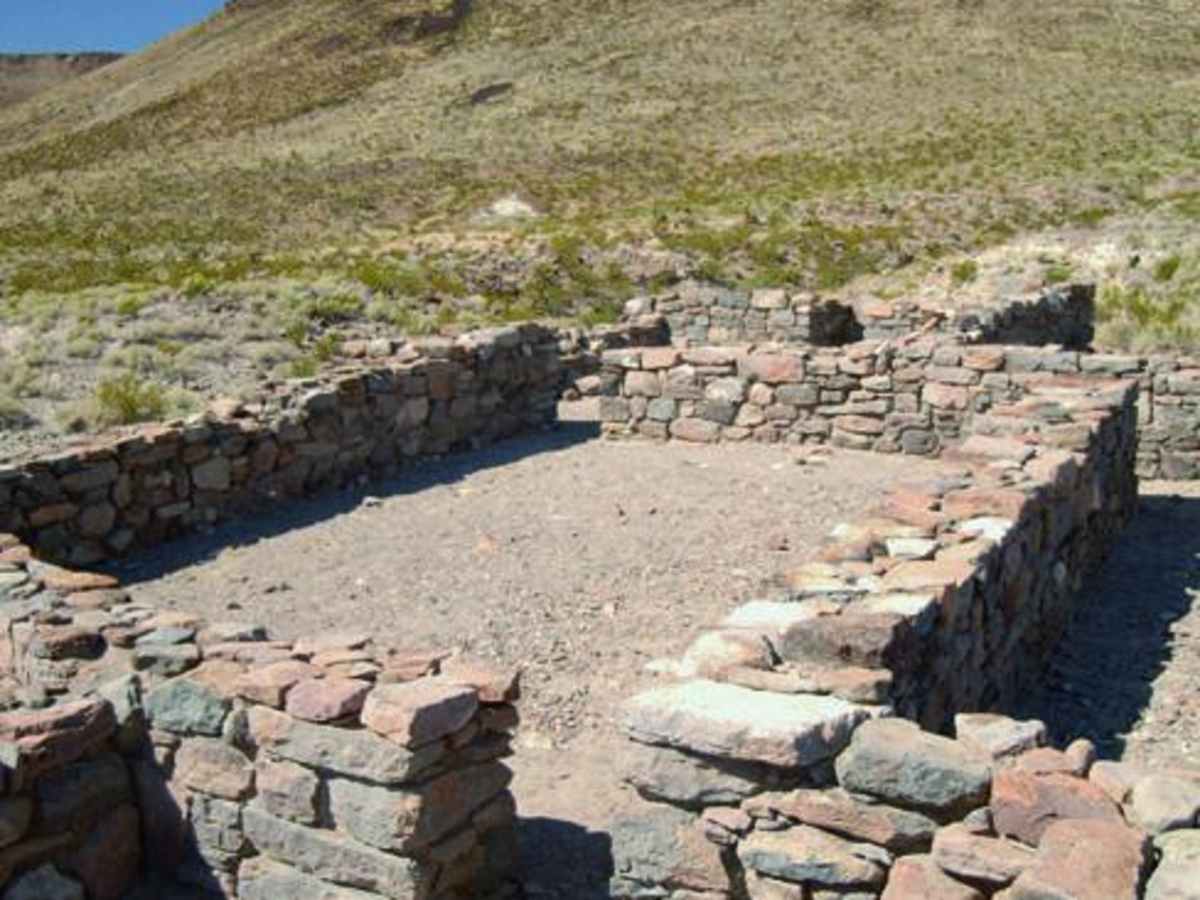
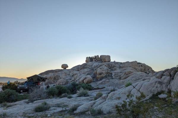
A highlight of this route is the optional side trip to the historic ruins of Fort Piute, nestled near the edge of the Piute Range. This area features natural desert springs that once sustained Native Americans and early pioneers, making it a scenic and historically rich stop. Dispersed camping is allowed along the trail within the preserve, provided campers use existing campsites, follow seasonal fire regulations, and pack out all trash. The remote nature of the trail means visitors must carry plenty of extra fuel, water, and recovery gear, as summer temperatures can be extreme, and heavy rains can cause sudden, dangerous flash floods in the washes.
Difficulty
Moderate: Most of this route is easy, but several spots are steep, rocky and rutted. OK for aggressive stock 4x4 SUVs. Soft sand and muddy at times. Don't go alone. Carry plenty of water and gas. Flash floods possible. Route-finding is challenging. Follow cairns, which are always on the right. Free GPS waypoints can be downloaded from our website at www.funtreks.com.
History
Like many roads in the West, this route started as an Indian foot path and later became an important wagon road servicing mining operations and travelers heading west. The route's many natural springs provided life-sustaining water. In 1981, volunteers formed an organization called 'Friends of the Mojave Road.' They reopened the road for recreational and historic purposes, and are today committed to its preservation.