Trail Overview
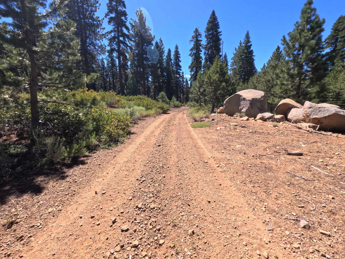
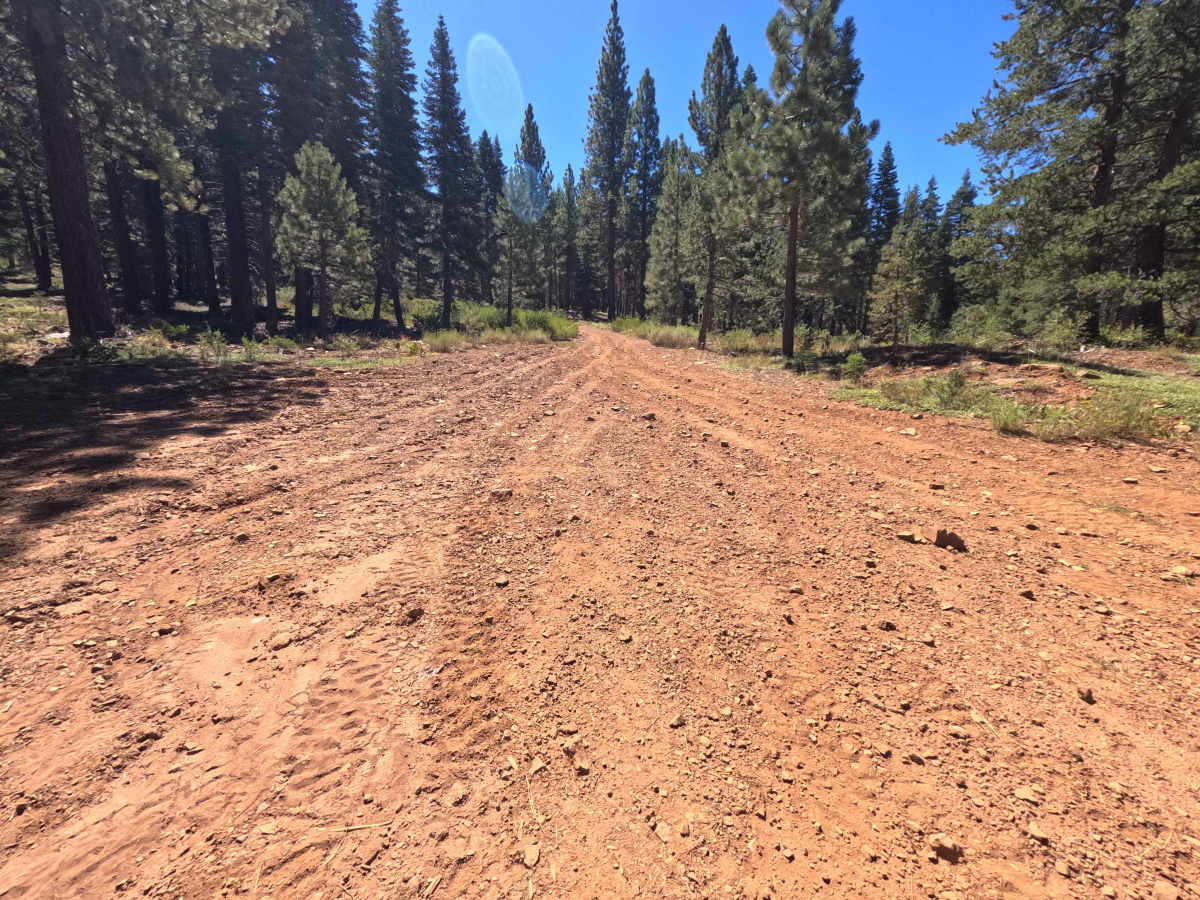
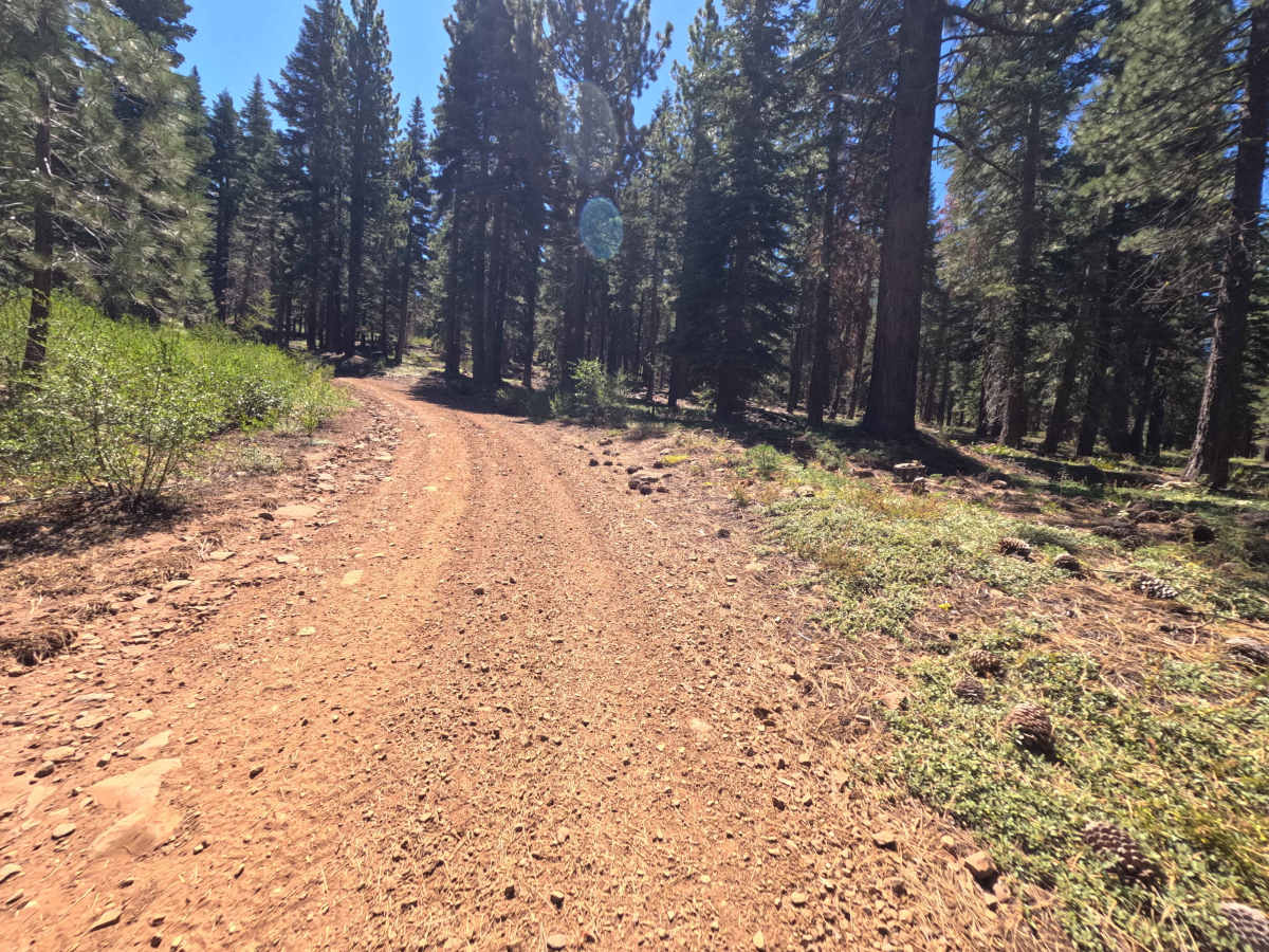
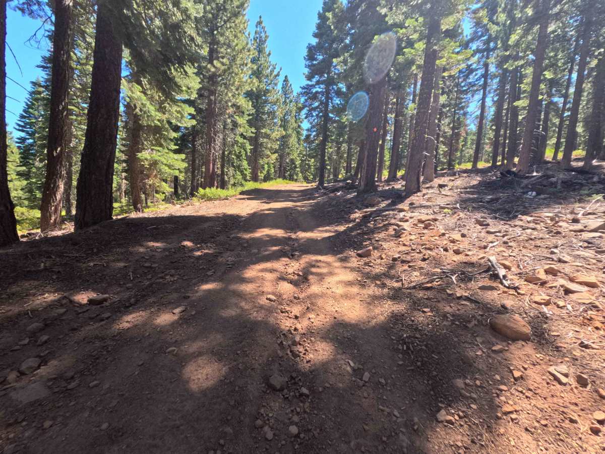
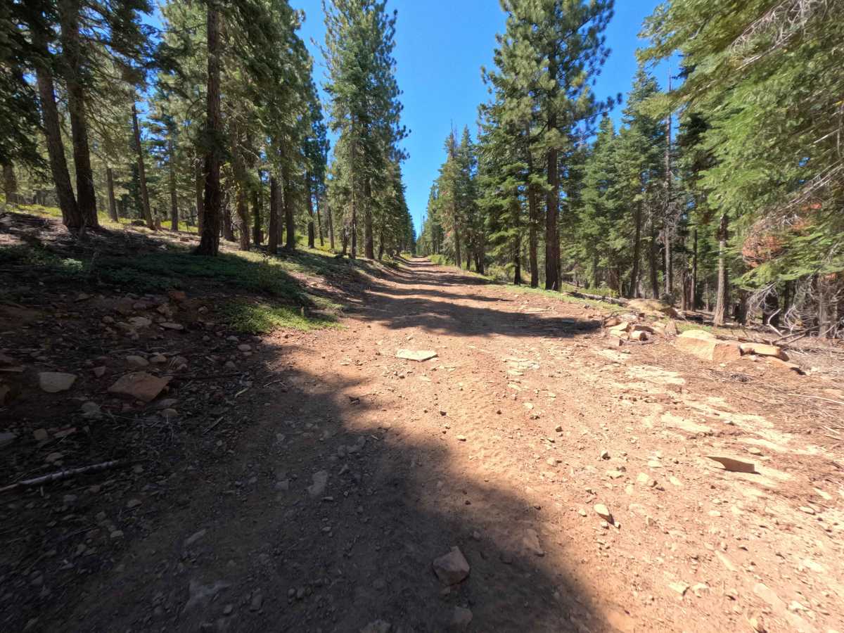
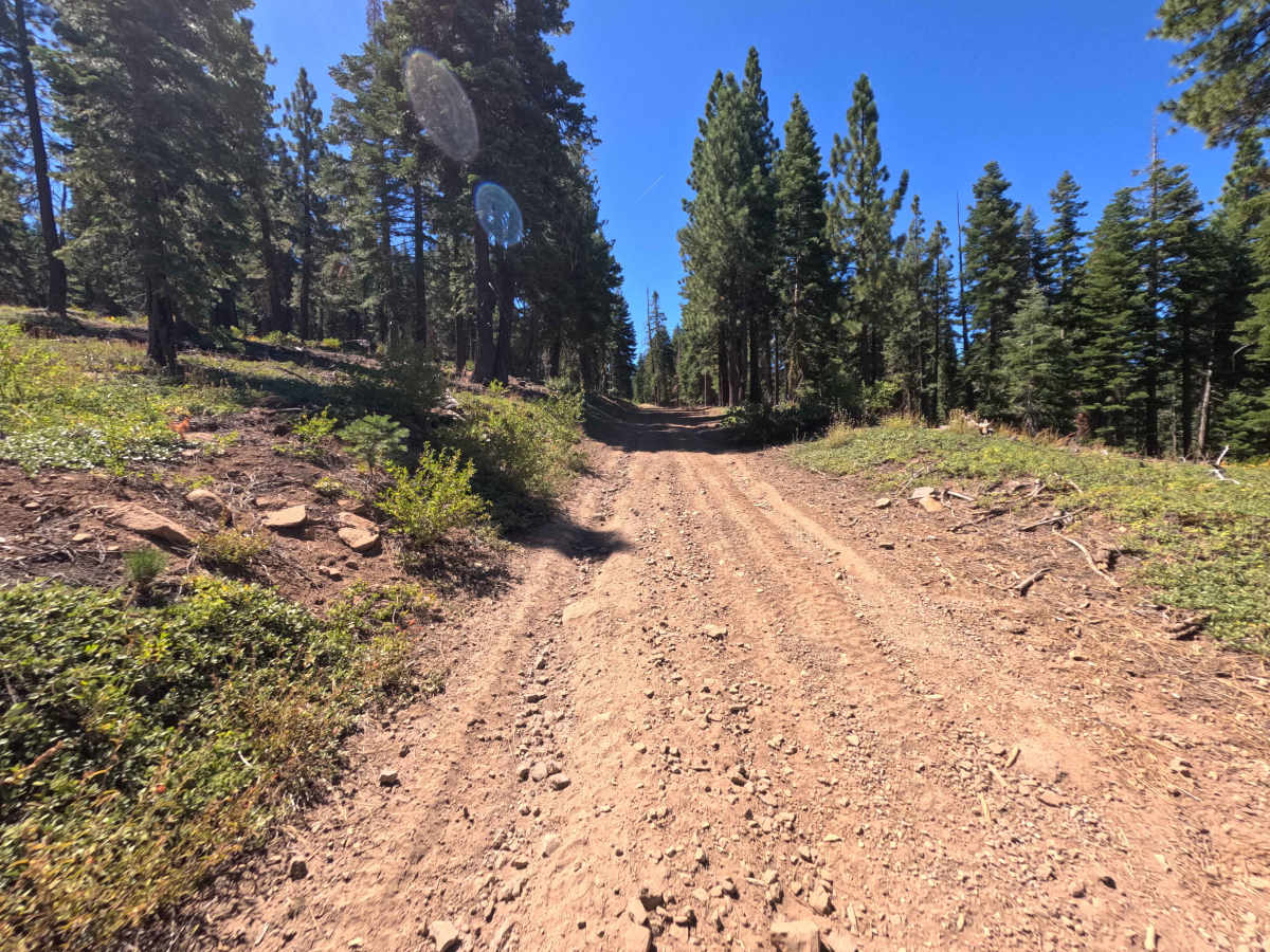
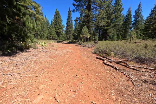
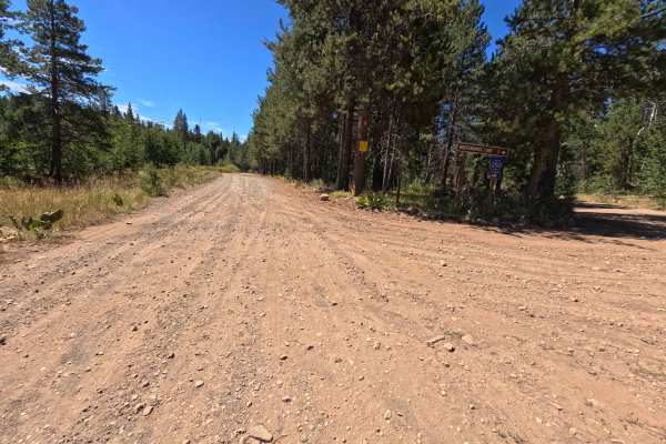
Set within the conifer-rich mountain environment of the Tahoe National Forest near Truckee, Mini Tie - FS 0007-010-15 serves as a scenic connector route climbing toward Independence Lake. Branching off of Forest Service Road 0007-010, this 2.0-mile single-lane dirt track ascends through tall pines before merging with Forest Service Road 351. Recreationists and campers travel this path to access popular outdoor recreation around Independence Lake, connect into neighboring off-road loops, or set up camp at primitive roadside clearings. The driving surface consists of a narrow dirt base featuring embedded stones, shallow surface ripples, and fallen log cuts, earning an accessible Grade 2 difficulty rating. Departing FS 0007-010, the road climbs steadily under dense canopy before widening near 0.6 miles at a spacious dispersed campsite capable of holding 3 to 4 vehicles. At the 1.0-mile mark, a narrow cut log borders the roadway, restricting width and requiring careful positioning. The upper mile flattens out and offers pleasant woodland views, ending at 2.0 miles, where the trail joins FS 351 to continue toward the lake.
Difficulty
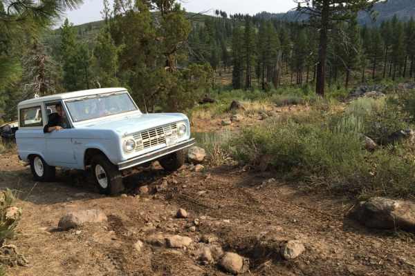
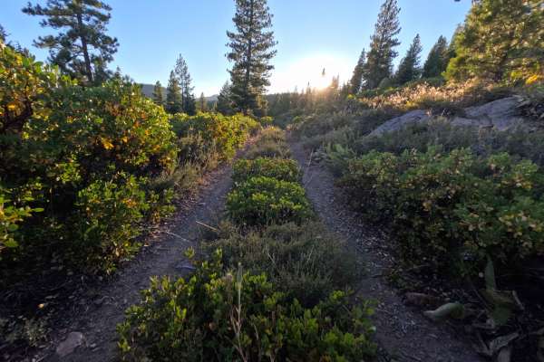
Earning an accessible Grade 2 difficulty rating, this 2.0-mile forest connector presents a firm dirt foundation marked by minor terrain variations. As captured in the photos, key non-technical considerations include loose surface stones, light washboard bumps, steady uphill inclines, and a narrow log cut obstacle at 1.0 mile that squeezes corridor width. High-clearance boulder fields, severe washouts, and deep mud holes are non-existent under dry conditions. Drivers should regulate speed along the climb, select clean lines across rocky dirt stretches, carefully evaluate side clearance at the log squeeze, and yield at narrow points along the track.