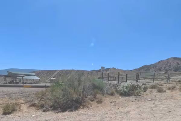
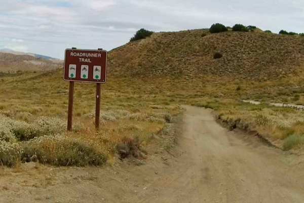
Trail Overview
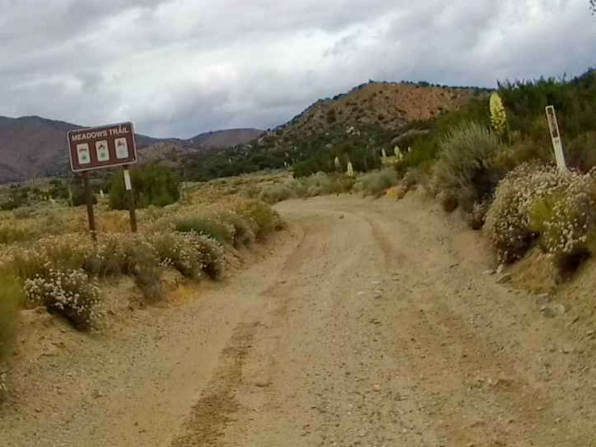
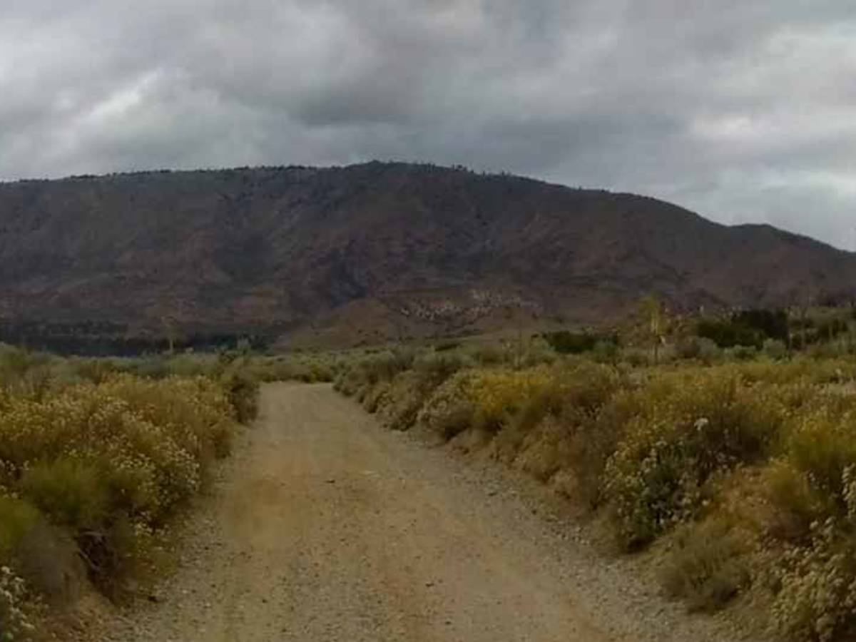
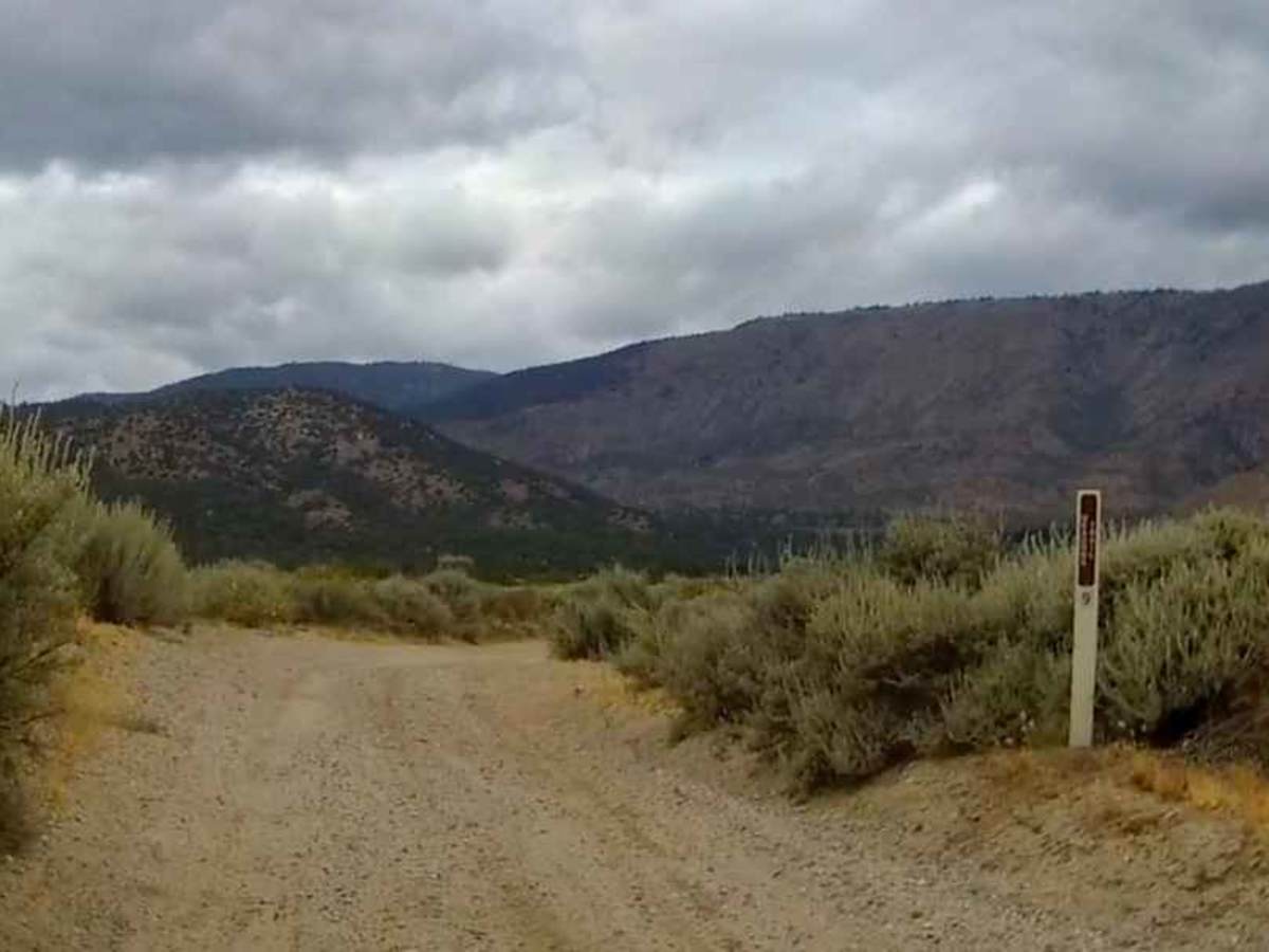
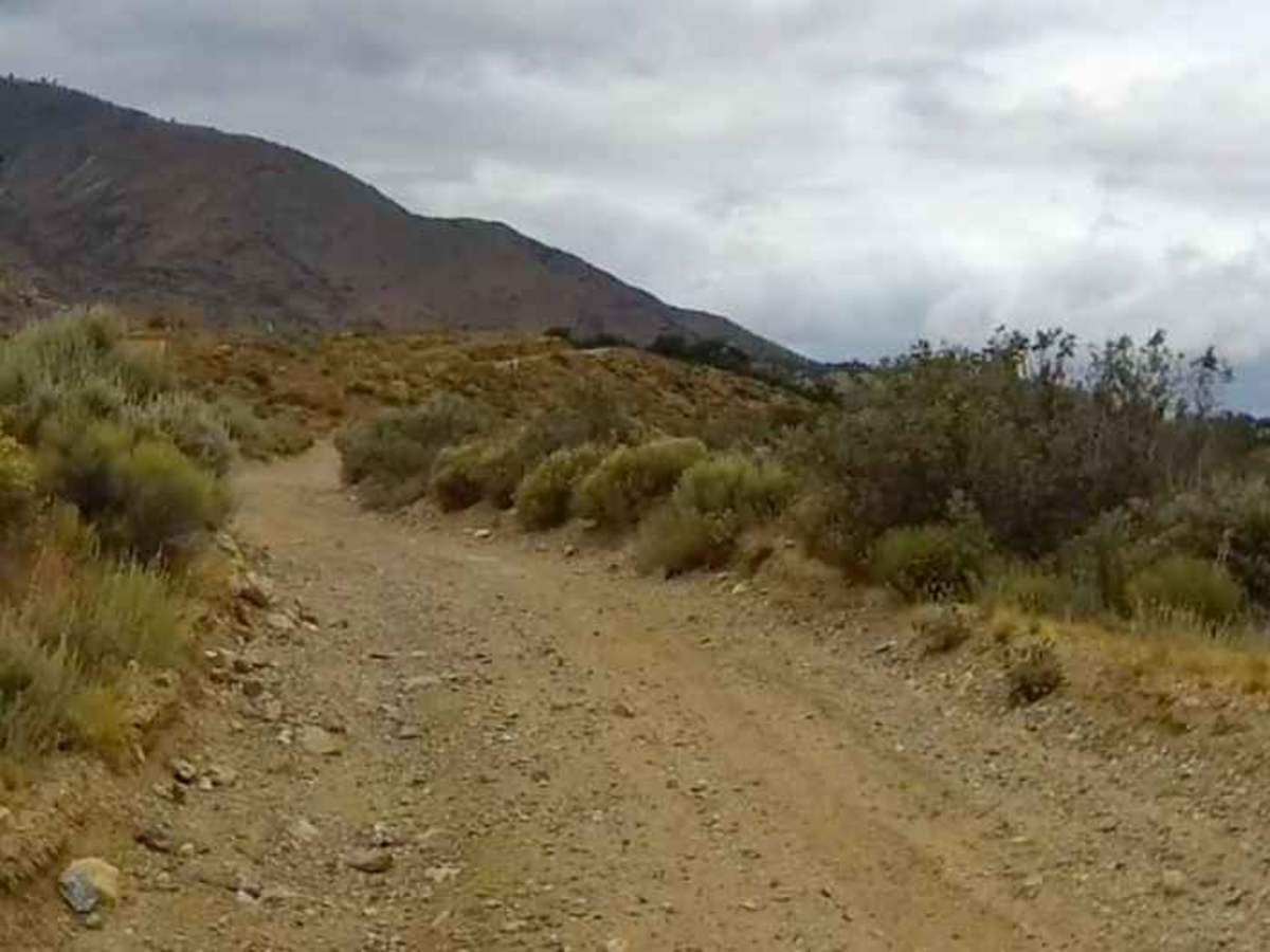
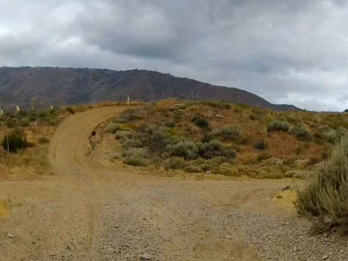
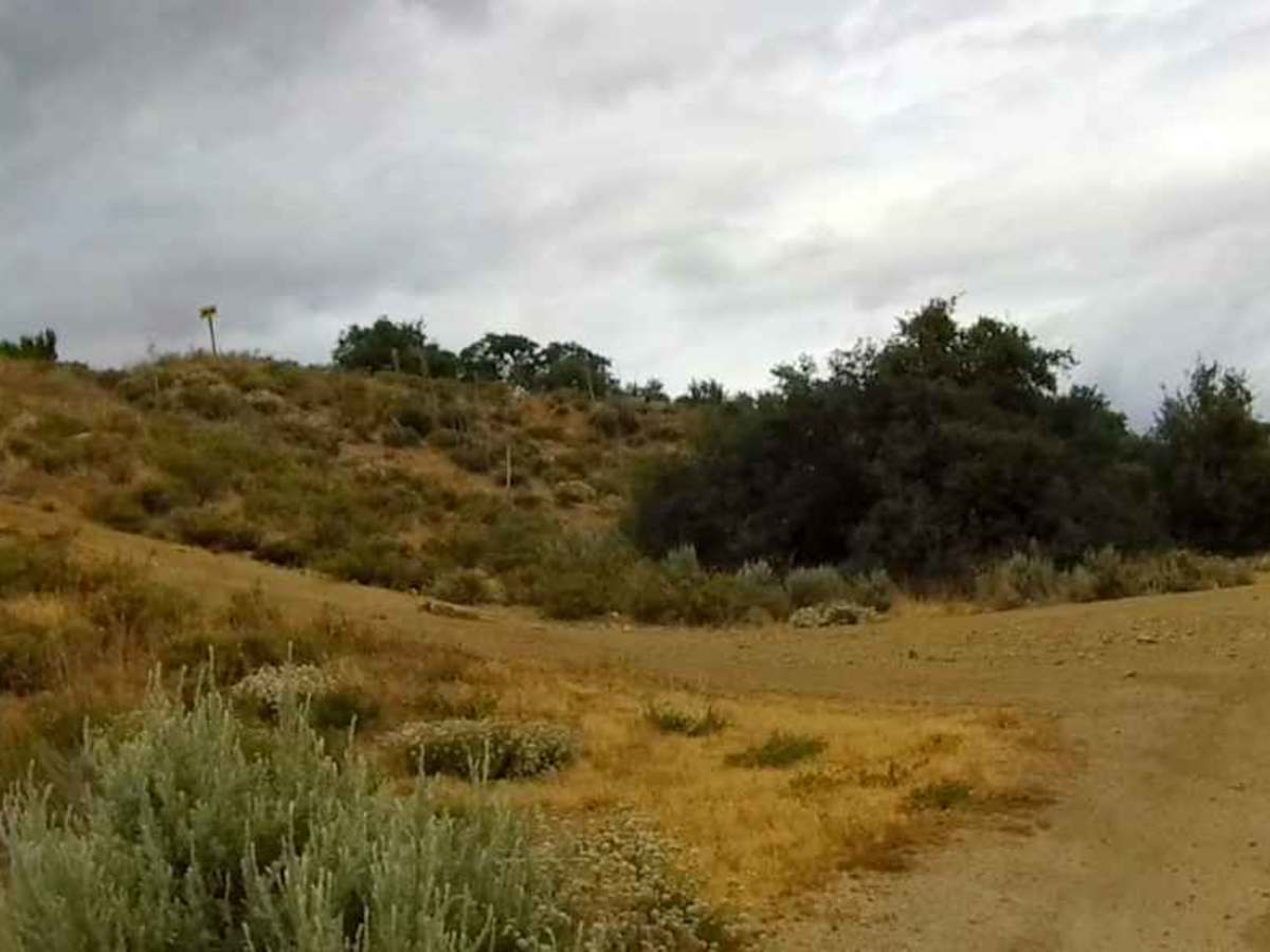
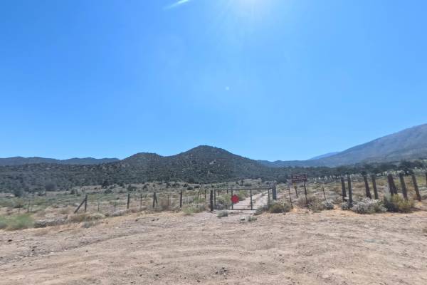
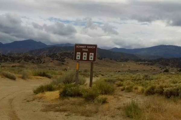
The Meadows Trail is located within the Hungry Valley SVRA and is 1.2 miles in length. It starts at the intersection of the Schmidt Ranch Road and the Flying W Trail at GPS coordinates N34.74473° W118.87963°. It is a double-wide hard-packed trail with a few small whoops. Most of the trail is wide enough for two full-size vehicles to pass, but some sections will require one vehicle to move off to the side of the trail. At 0.82 miles, the trail turns to the right, avoiding the washout on the hill shown in photo 05. You can choose to continue up the hill since it merges back onto the main trail shown in photo 06. Right past this, the trail drops down and makes a sharp uphill turn to the left. The whoops get a little deeper in this section of the trail. You will also encounter a drop crossing a dry wash, followed by an uphill turn to the right. Caution should be used in this section since there are some larger rocks and a washout on the right. There is a mound with bushes in the middle of the trail, so you will need to go around to the right or the left. Shortly after navigating past these mounds, you will come to another long washout on the right and then a washout on the left. The trail ends at the intersection with the Old Cottonwood Trail at GPS coordinates N34.75937° W118.89924°.
Difficulty
About 80% of this trail could be rated at a 3, but the washouts, sharp turns, and the mounds required that I give it an overall rating of 4.