Trail Overview
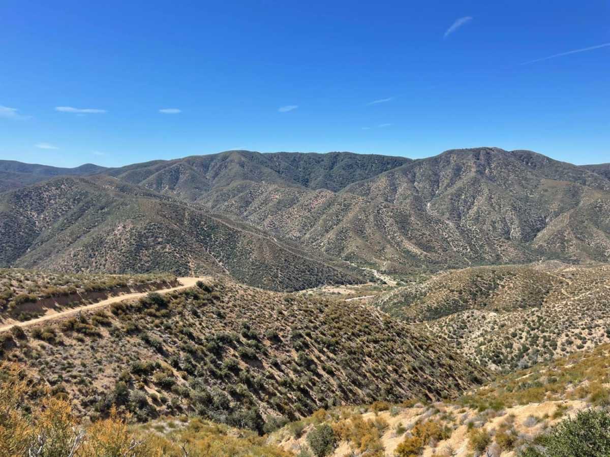
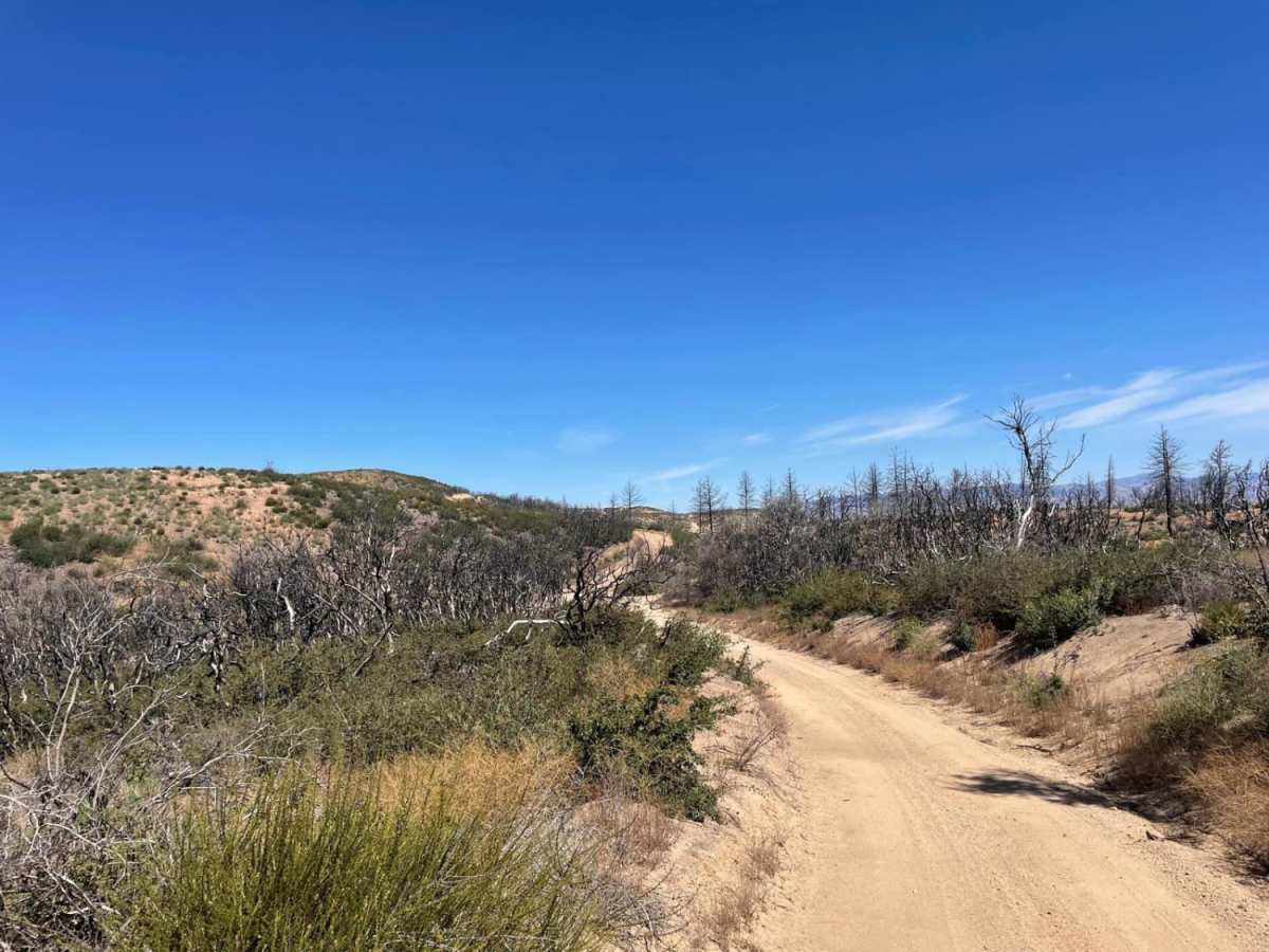
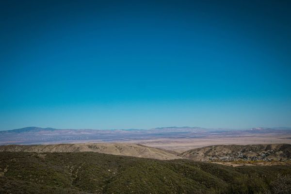
Maxwell Road is a 9.9-mile dirt route in the Angeles National Forest, connecting Lake Hughes Road to Liebre Mountain and the Sawmill Motor Way (USFS Route 7N23). Climbing from 3,211 feet near Lake Hughes to 5,425 feet near Sawmill Mountain, the trail offers expansive views of the western Sierra Pelona Range and areas recovering from the 2020 Lake Fire.
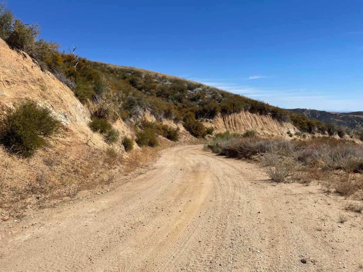
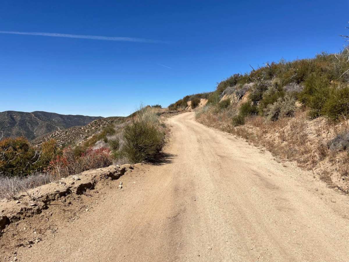
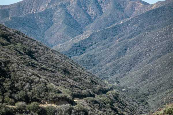
With a technical rating of 2, the route is mostly straightforward but features rough patches and ruts requiring moderate vehicle clearance. The trail gains over 2,600 feet of elevation as it winds past Forsyth and Steiner Canyons. Four-wheel drive is recommended, particularly in wet conditions when the road can become slick, or during winter when snow may cover the higher elevations.
Difficulty
Some areas are a bit rough, but with moderate clearance and careful choice of lines, a 4x4 vehicle will have little to no trouble on this trip.
History
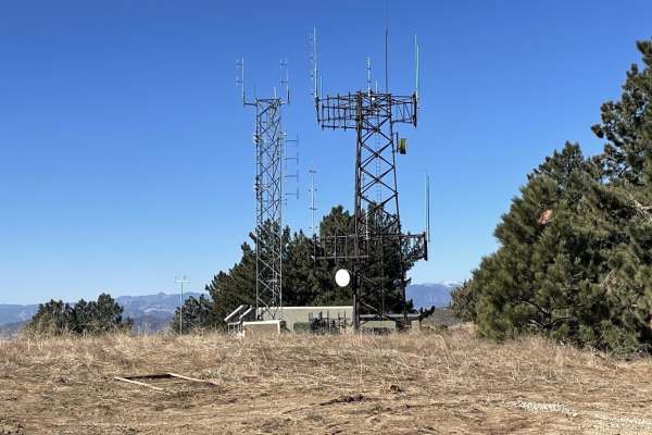
Much of the route traverses the scar of the 2020 Lake Fire, which burned over 31,000 acres in the Angeles National Forest. This area has historically served as a vital fire road and communication corridor across the Sierra Pelona Ridge, providing access for forest rangers, utility maintenance crews, and recreational users since the mid-20th century.
Access Description
Maxwell Road resides within the Angeles National Forest, which is managed by the U.S. Forest Service. Vehicles utilizing the trail must be street-legal or possess a valid California Green or Red Sticker for off-highway vehicle (OHV) use. A National Forest Adventure Pass may be required if parking or recreating at designated areas along the route. High fire danger, winter storms, or washouts can lead to temporary closures of this route and connecting forest roads. Drivers should check current road conditions and fire restrictions with the Angeles National Forest office prior to departure.


 Offroad