Trail Overview
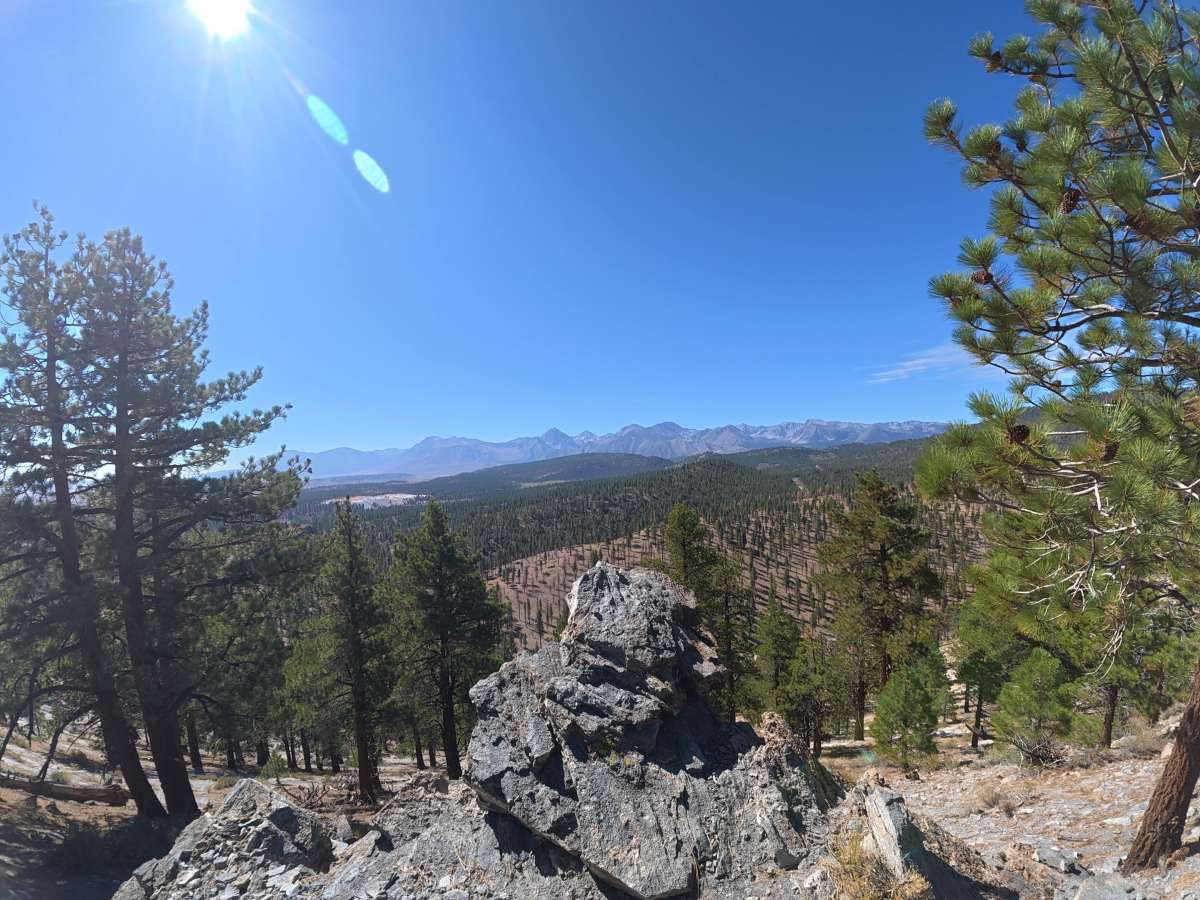
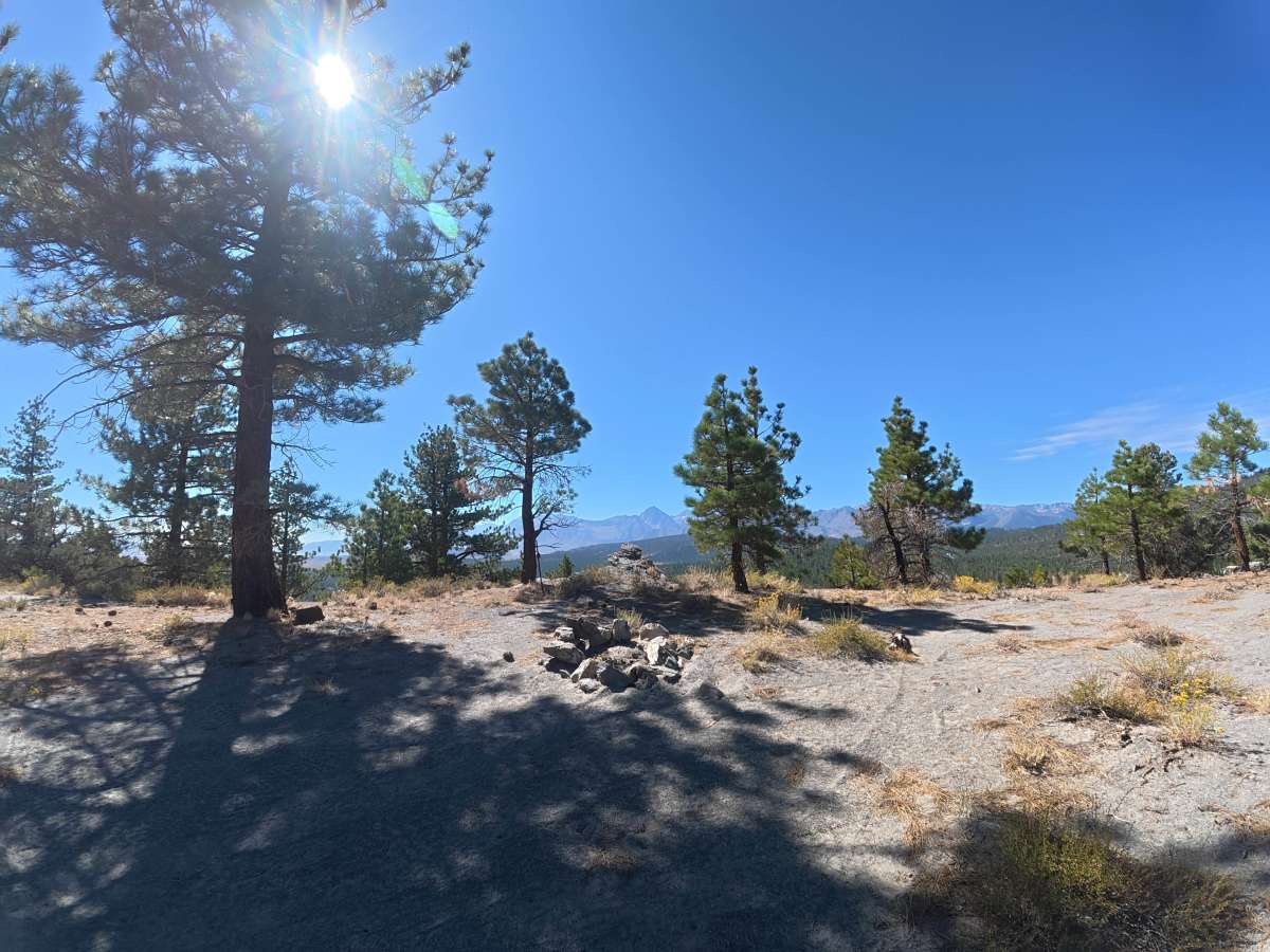
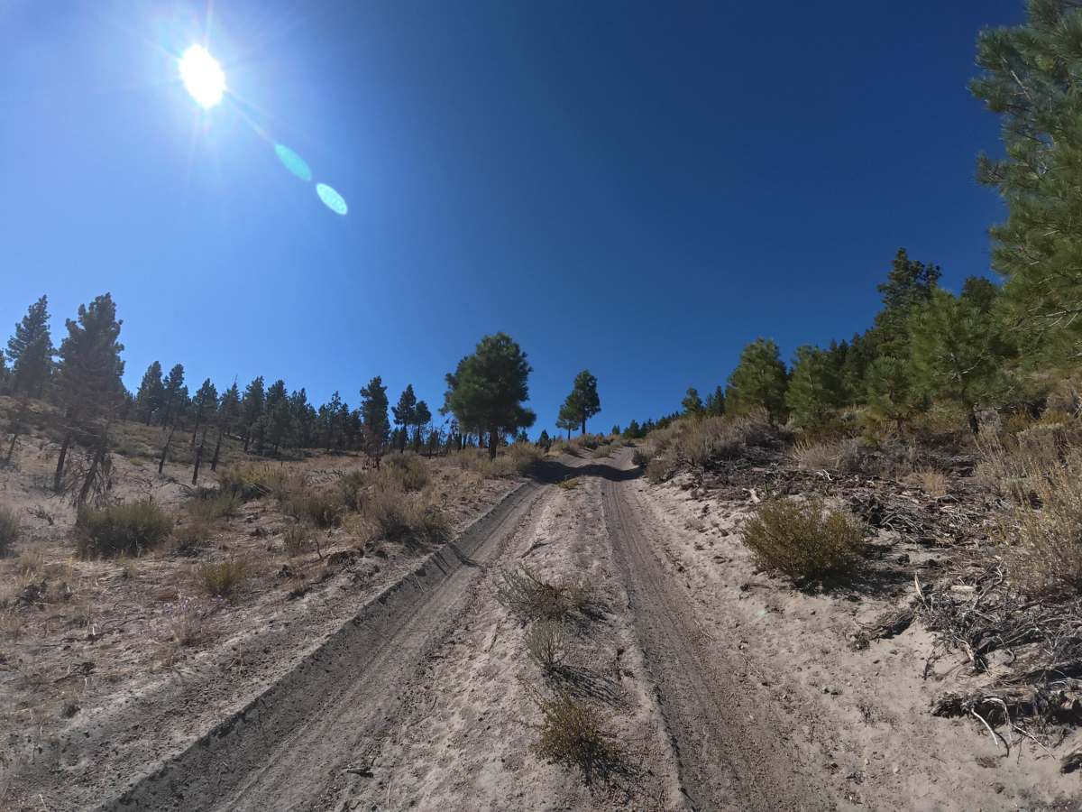
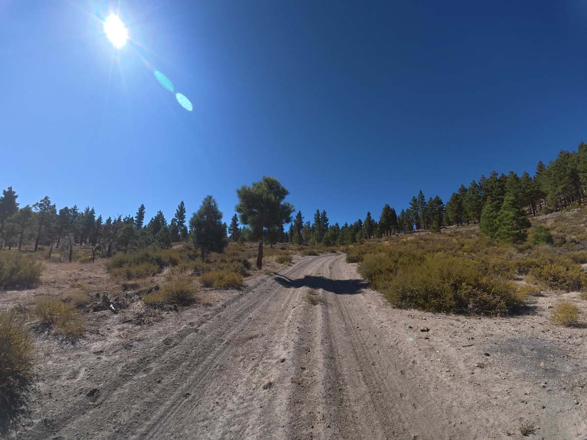
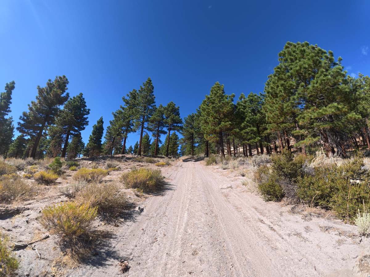
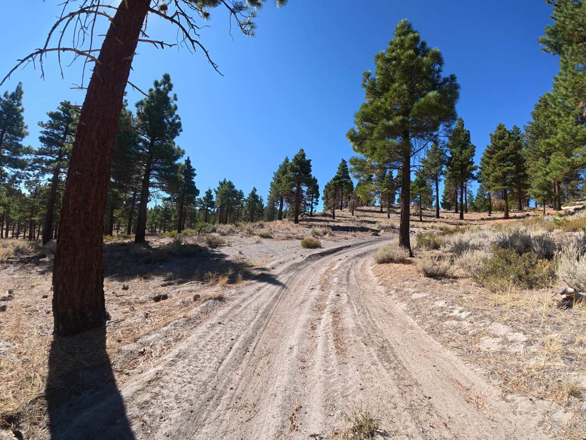
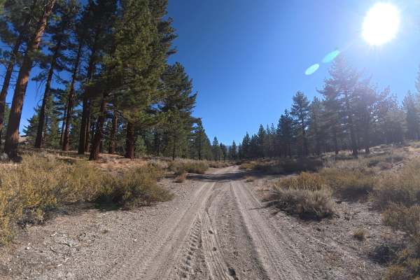
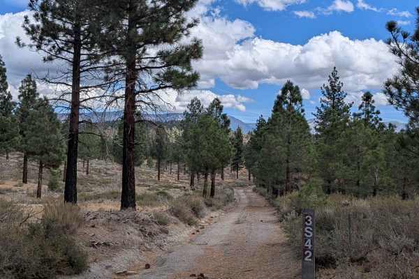
This fine, soft-dirt trail climbs steadily through forested hills toward Long Valley Caldera. Ruts reach approximately 6 inches deep, and the combination of soft substrate and consistent elevation gain makes 4WD or AWD highly recommended, especially in wet conditions. Around 0.4 miles, numerous level, shaded campsites are scattered throughout the forest, many with fire rings. Near 0.9 miles, additional campsites offer mountain and valley views. At the end, a large, level campsite accommodates up to 12 vehicles with fire rings and expansive views, providing a great parking area for exploring the surrounding caldera formed by a massive volcanic eruption approximately 760,000 years ago.
Difficulty
This trail is rated Level 2 because of the 6-inch ruts, soft fine-dirt surface, and consistent hill climbs. 4WD or AWD is highly recommended due to reduced traction, particularly when wet.
History
Long Valley Caldera was formed about 760,000 years ago during a massive volcanic eruption that collapsed the ground and created the roughly 20-mile-long depression east of Mammoth Lakes. Volcanic activity continued afterward, shaping features such as Mammoth Mountain, the Mono-Inyo Craters, hot springs, and other geothermal areas that remain visible today.