Trail Overview
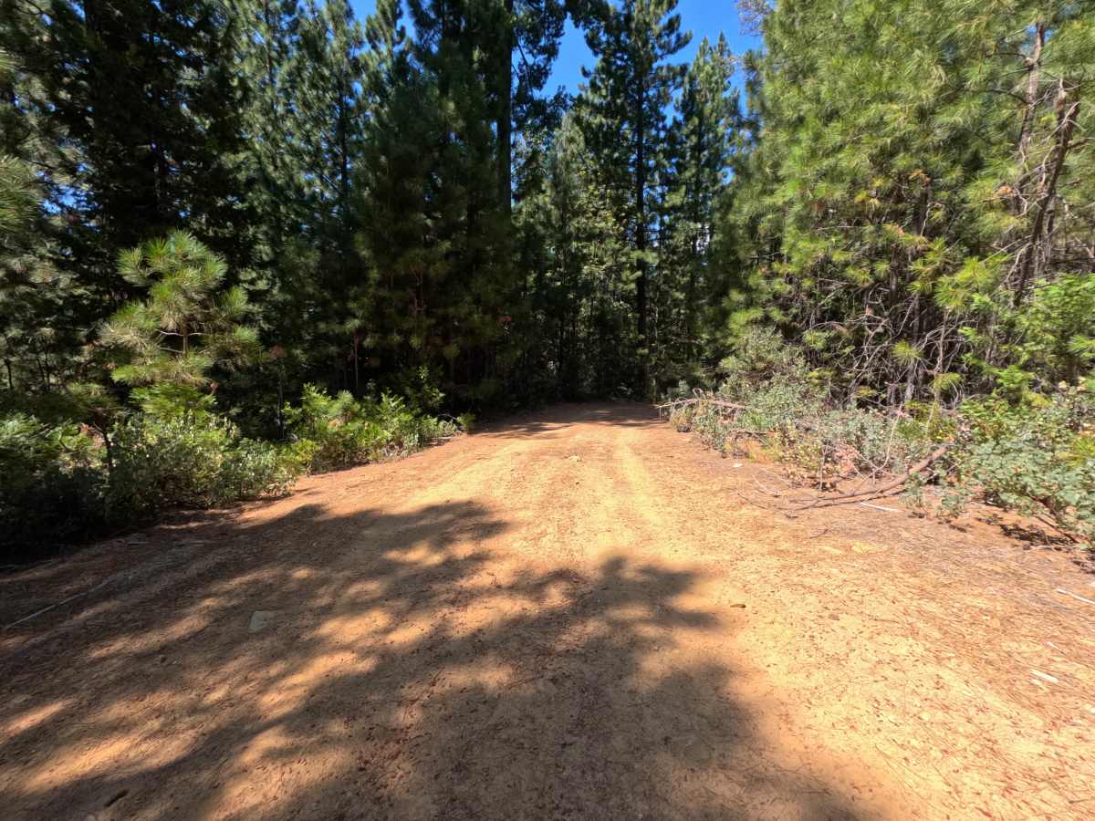
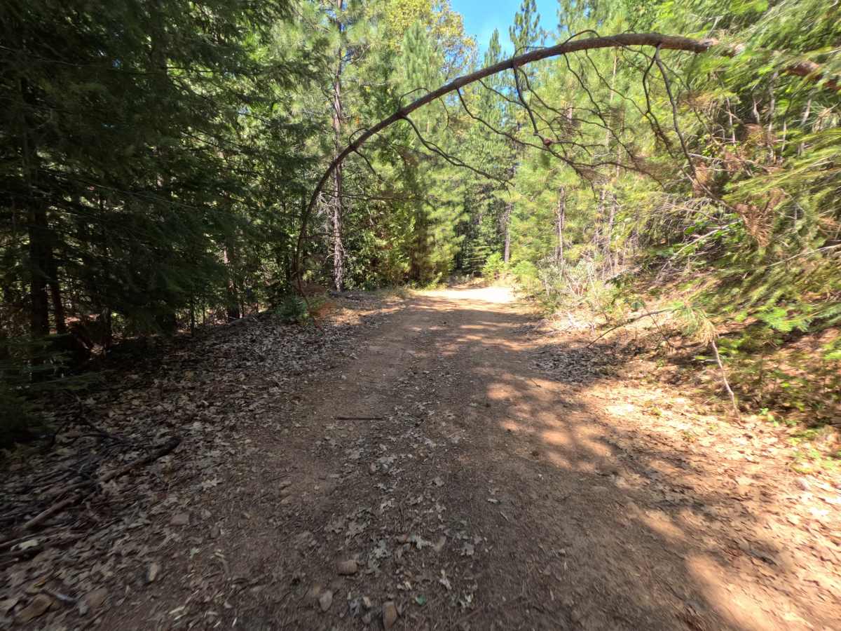
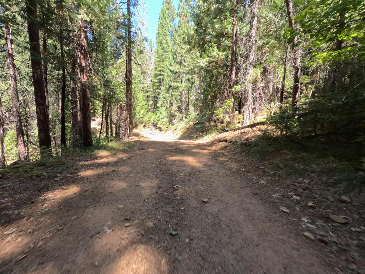
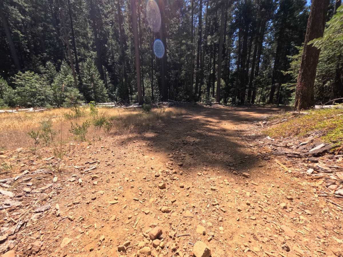
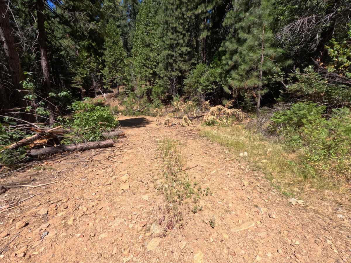
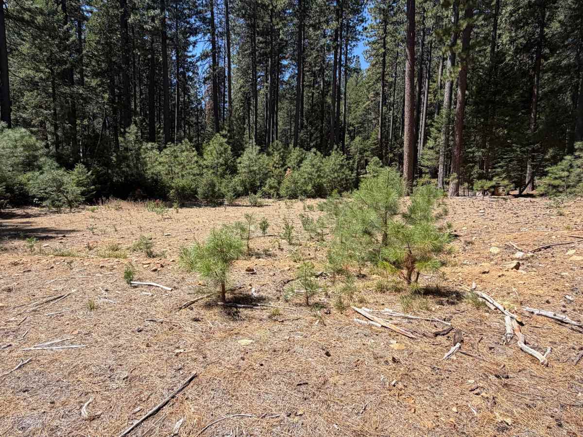
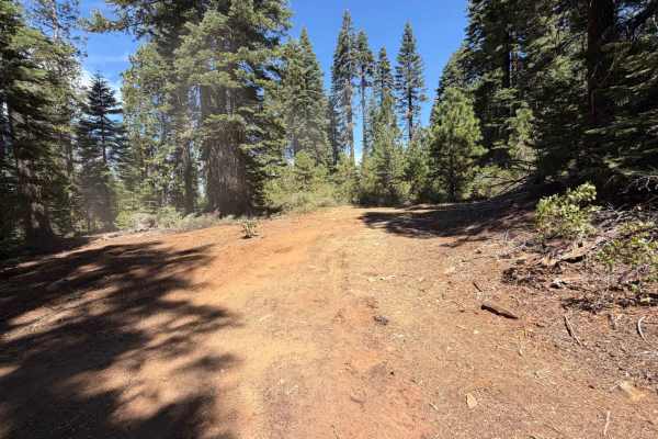
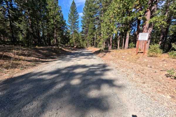
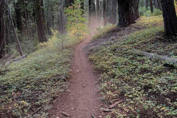
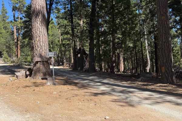
Last Chance Mine - FS 20-016-08 branches off Diamond Creek Trail as a short, out-and-back single-track spur within the Tahoe National Forest. From the junction, the route gently loses elevation as it winds through mixed conifer forest, following a mild, generally easy grade for its 0.7-mile run. Along the way, an overhanging tree branch bends into a natural arch over the trail, forming a distinctive gateway-like landmark. At roughly 0.7 miles, the spur opens into a wide, flat clearing large enough for several vehicles to disperse camp, edged by young pine regrowth that hints at the area's mining-era disturbance. The route stops here, marking the turnaround point for this out-and-back.
Difficulty
Last Chance Mine - FS 20-016-08 rates a 1, the easiest classification on the scale. The trail follows a generally mild, well-traveled grade with only modest elevation change over its short 0.7-mile length, and the surface stays smooth dirt throughout with no rocks, ruts, or crossings to contend with. Nothing on this route challenges traction or clearance, so it stays approachable for nearly any vehicle capable of basic forest road travel. The rating holds at 1 because the spur ends in flat, open ground rather than any technical feature that would push it higher.