Trail Overview
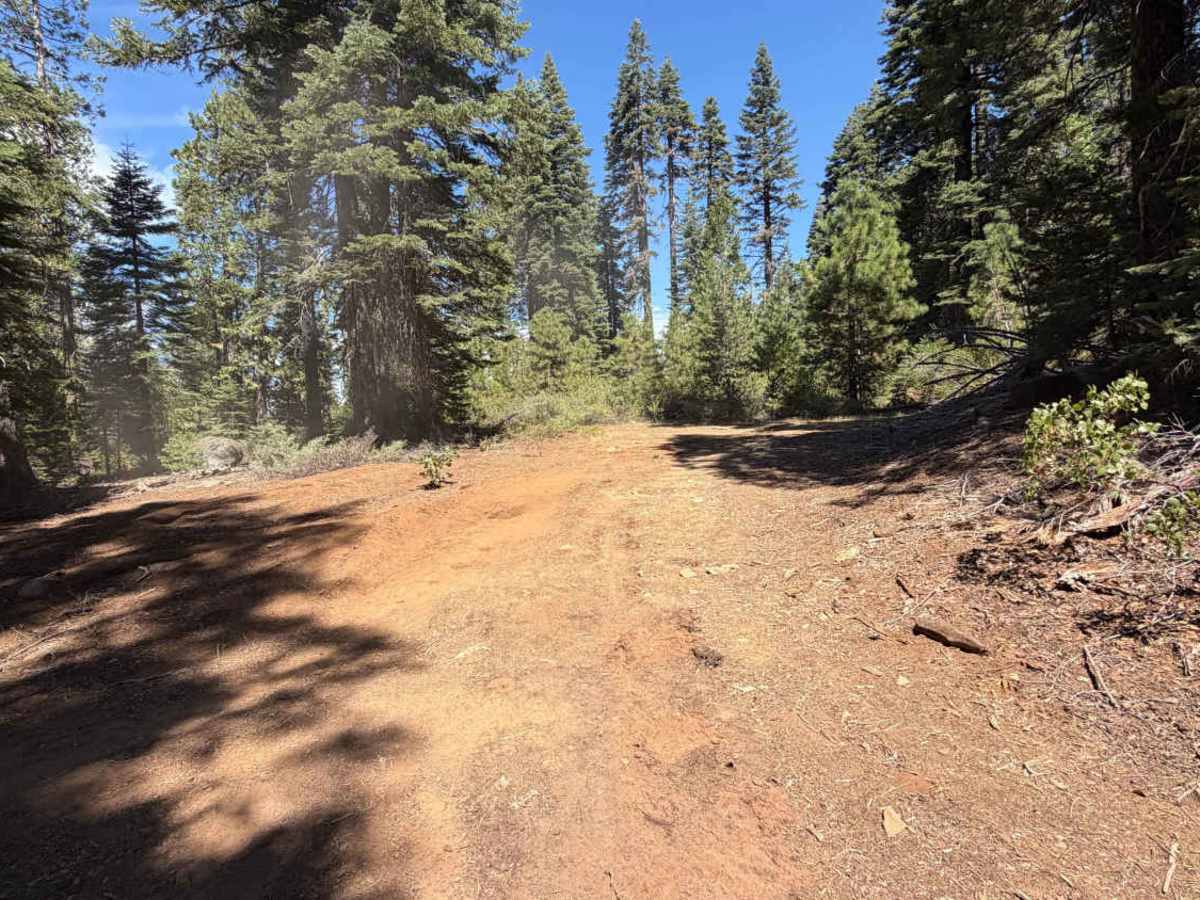
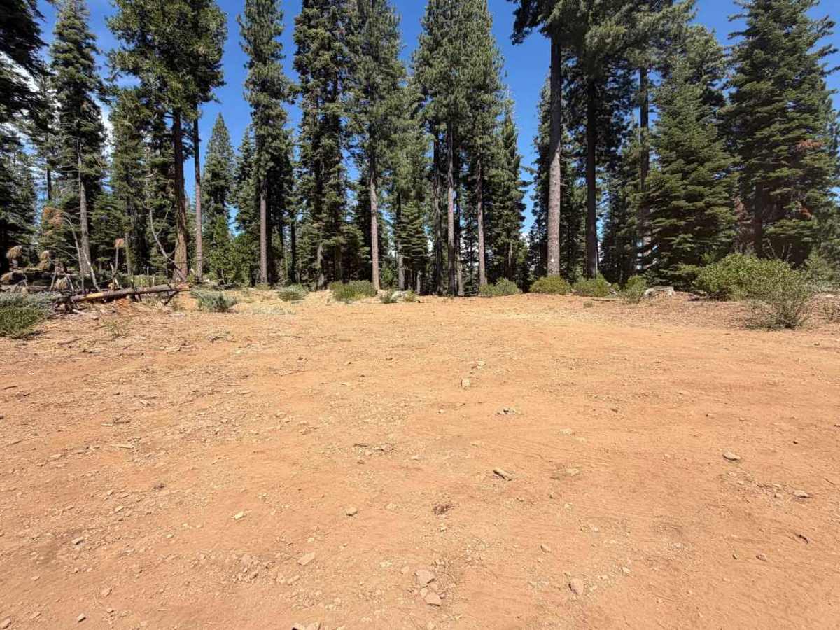
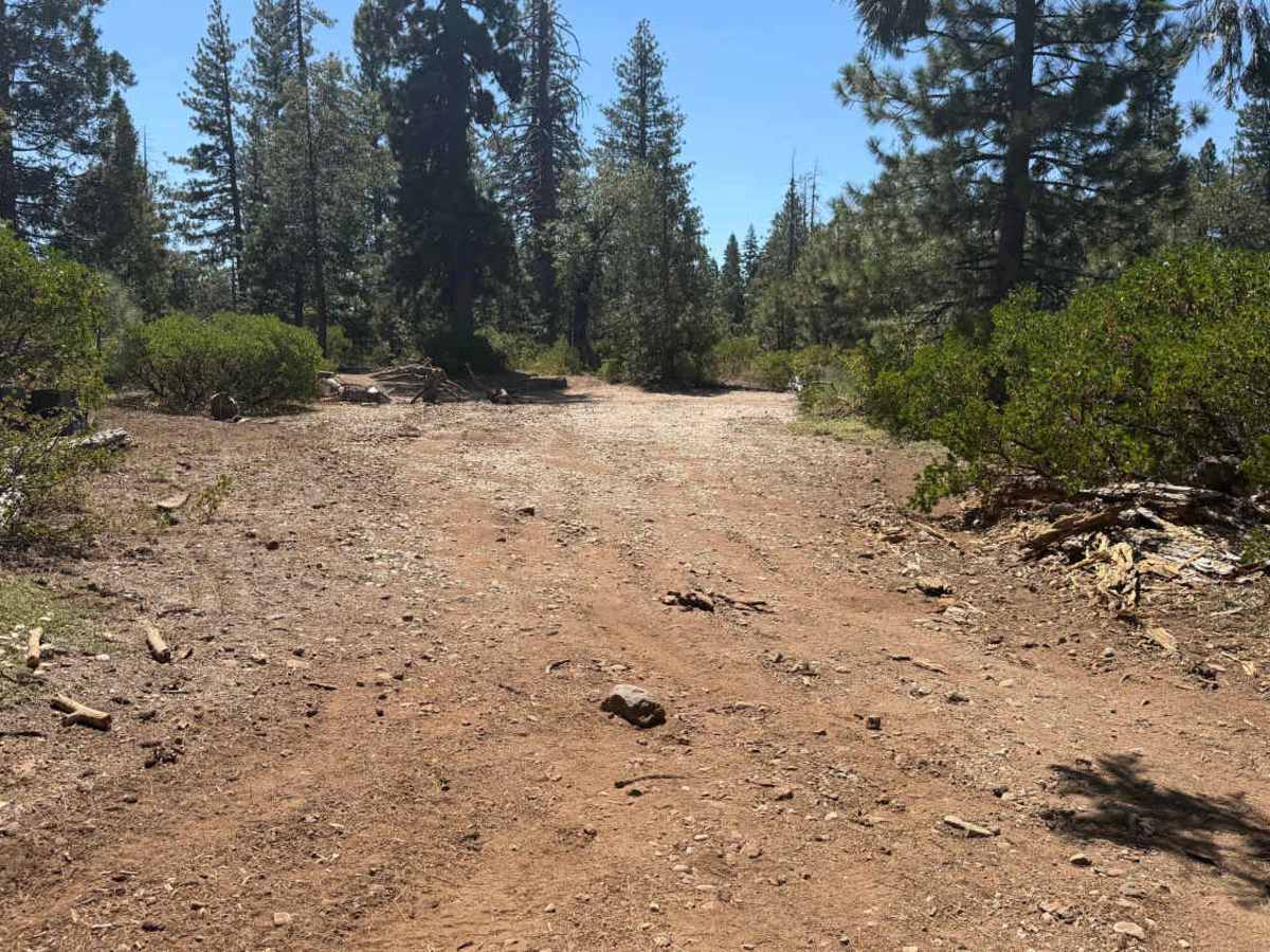
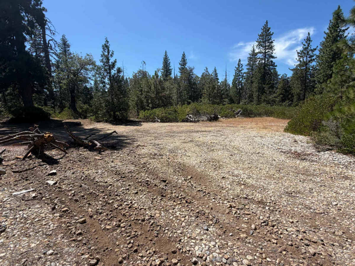
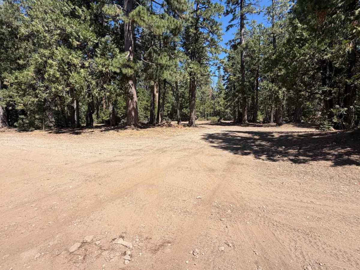
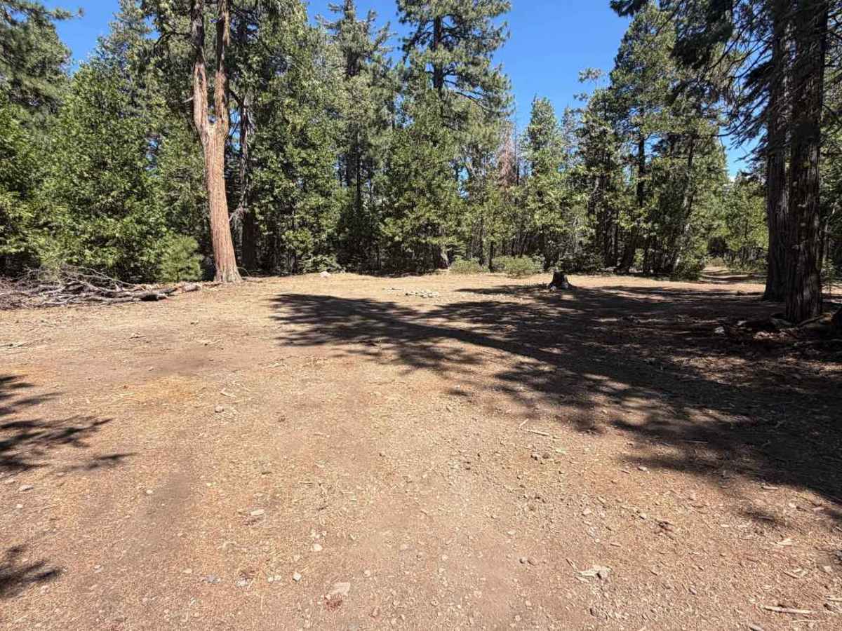
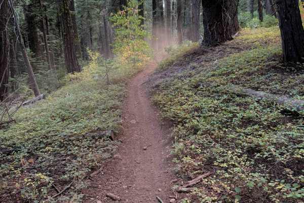
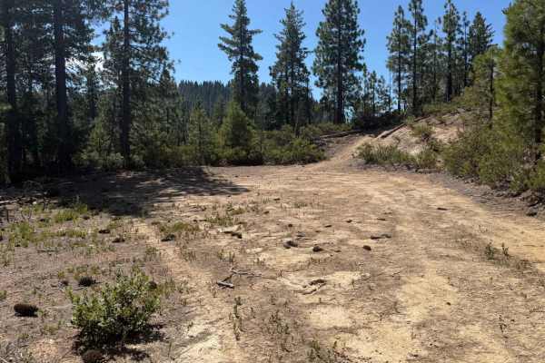
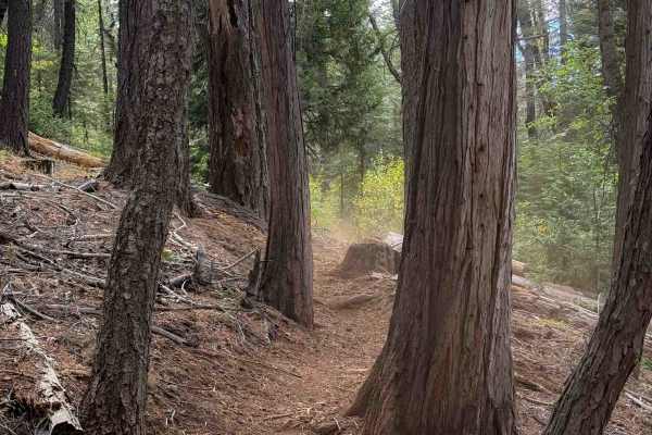
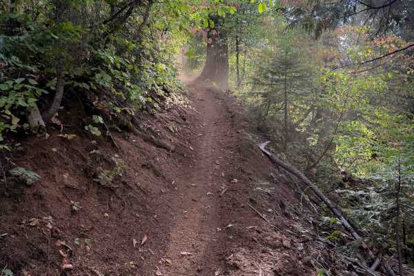
Diamond Creek is a wide dirt spur that branches off Highway 20 in Tahoe National Forest, running north into a network of dispersed camping areas and connecting trails. The surface stays flat and well-traveled for its full 4 miles, easily supporting two-way travel throughout. Several large, open clearings appear along the way, offering ample space for dispersed camping and doubling as junctions with other roads in the area. Around 1.7 miles in, the trail opens to a wide view looking northwest over the surrounding ridgelines. Some of the larger trees along the route show scarring at the base consistent with the 2023 Highway Fire, which burned in this immediate area. A posted sign partway along notes that commercial use requires a permit. The road winds down through the forest before reaching a wide spot with room to turn around.
Difficulty
Difficulty Explanation: Rated a 1, Diamond Creek stays easy from end to end. The dirt surface is wide, flat, and well-maintained the entire way, with nothing in the way of ruts, rock, or elevation change to slow travel down. Even the wide clearings and junctions along the route are simple to navigate. Nothing here calls for technical driving of any kind.