Trail Overview
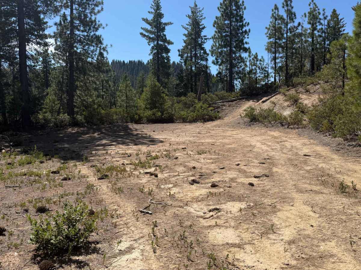
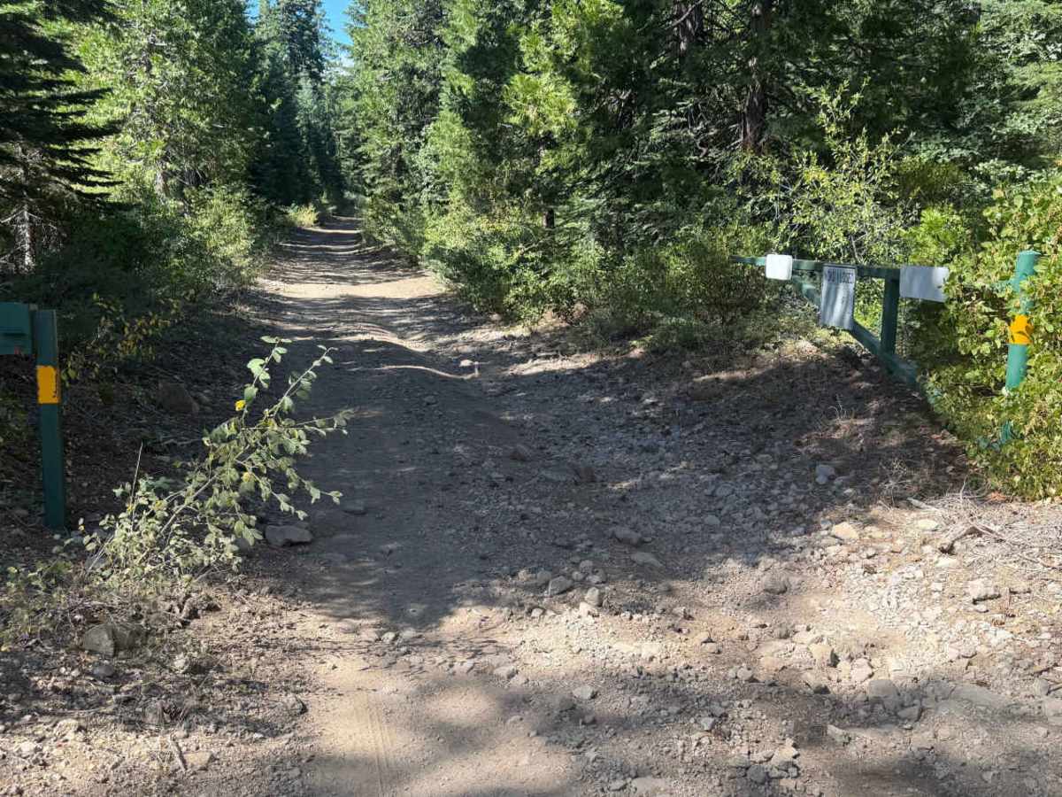
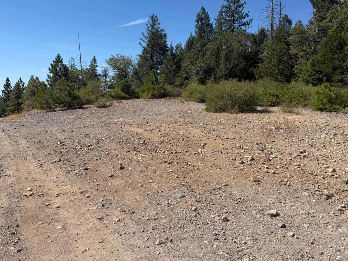
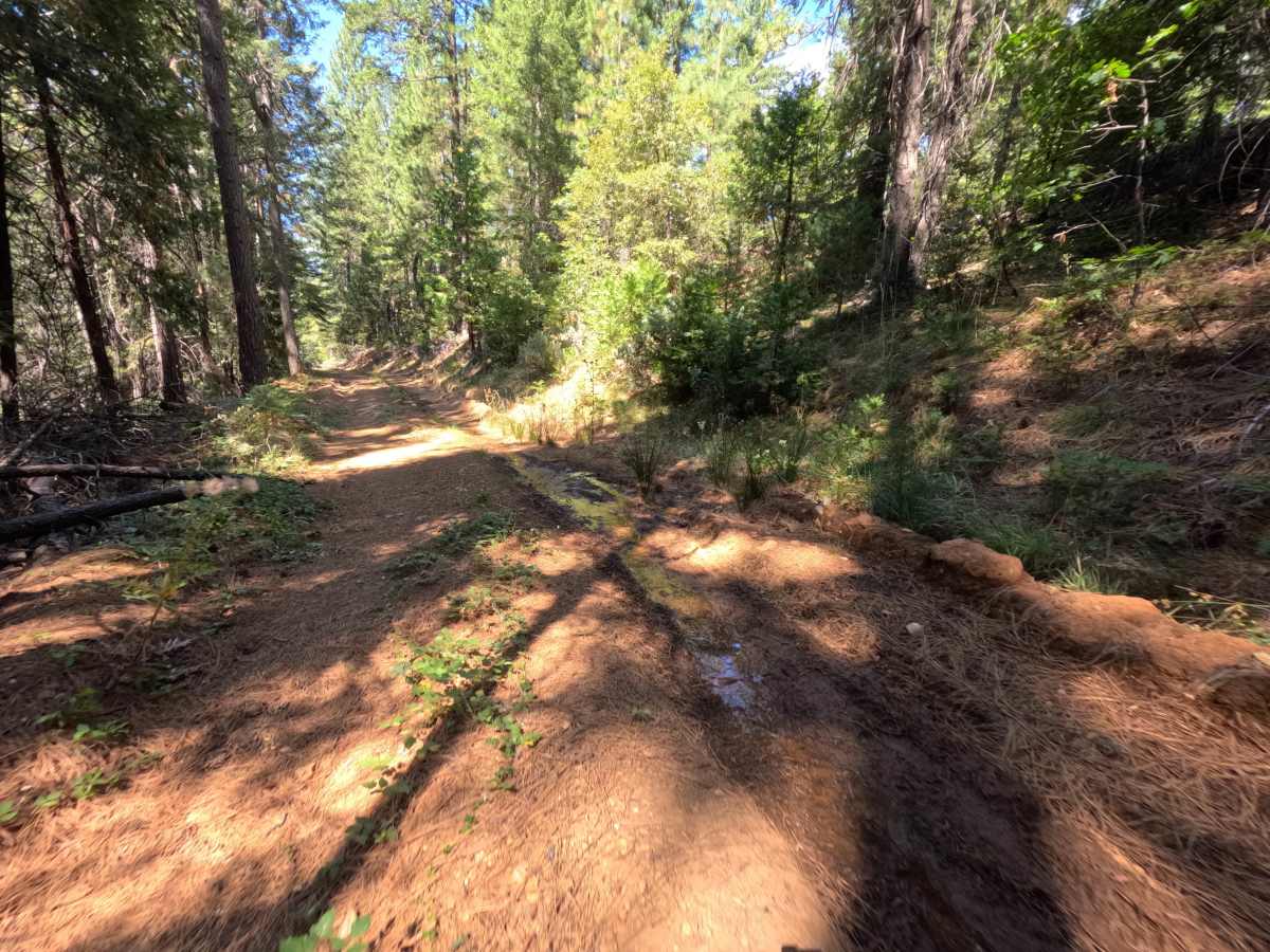
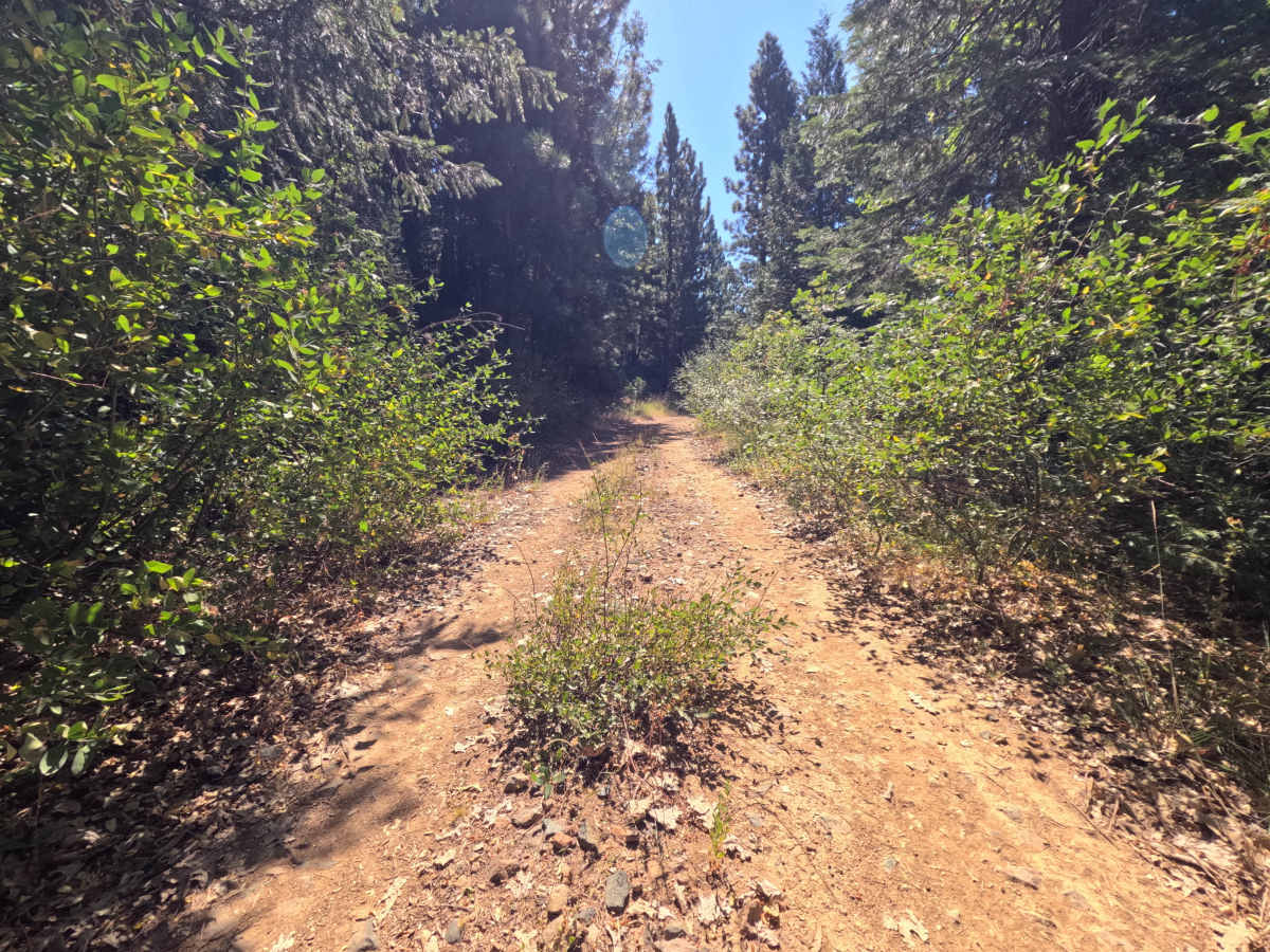
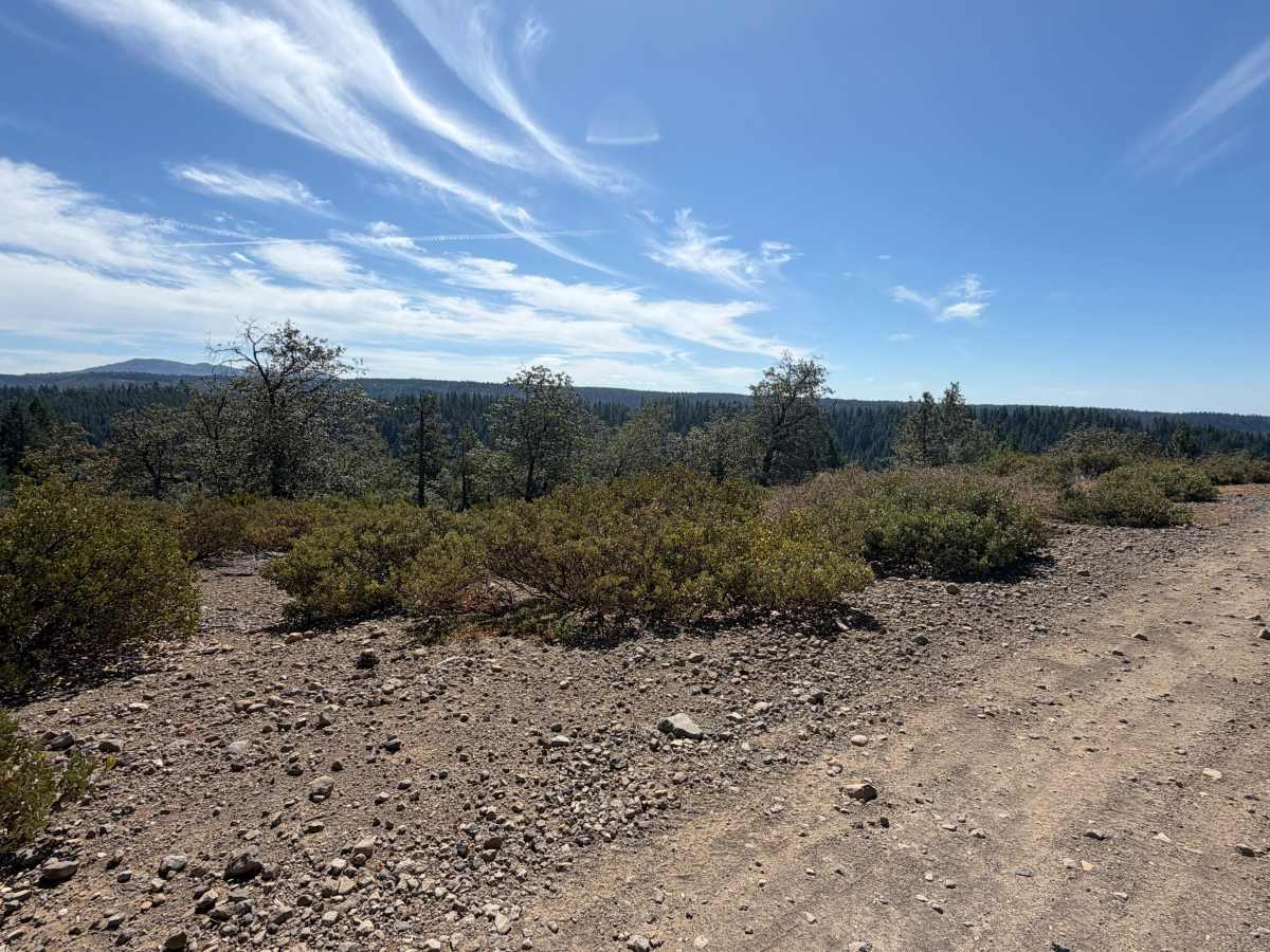
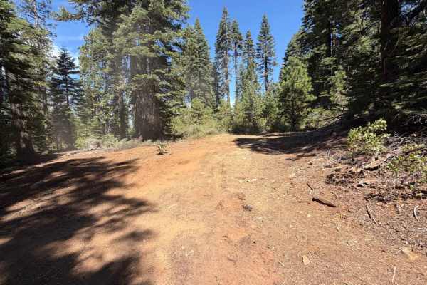
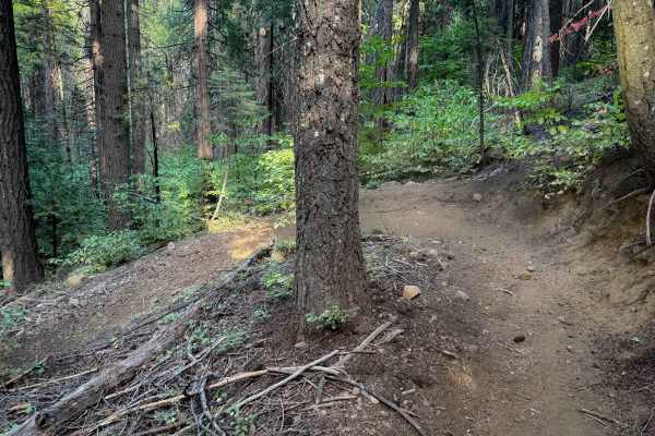
East Excelsior Point is a wide, single-track dirt spur that runs out-and-back to the southeast, part of the Burlington OHV Trail System off Highway 20 in Tahoe National Forest. The route holds a flat, easy grade for its full 2.1 miles, opening into occasional clearings with room to pull off along the way. Around the halfway point, the trail crosses a small wooden bridge with guardrails before continuing on through open forest. It ends at a large turnaround with room for several vehicles and a wide view out over the surrounding tree-covered ridgelines, making it a natural spot to stop, turn around, or post up for a while before heading back out the way it came.
Difficulty
Rated a 1, this spur stays easy from start to finish. The surface is smooth dirt the whole way, wide enough to pass comfortably, with no ruts, rocks, or elevation changes serious enough to slow things down. Even the small bridge crossing partway through is straightforward, just a flat wooden deck with guardrails on both sides. Nothing here calls for technical driving of any kind.