Trail Overview
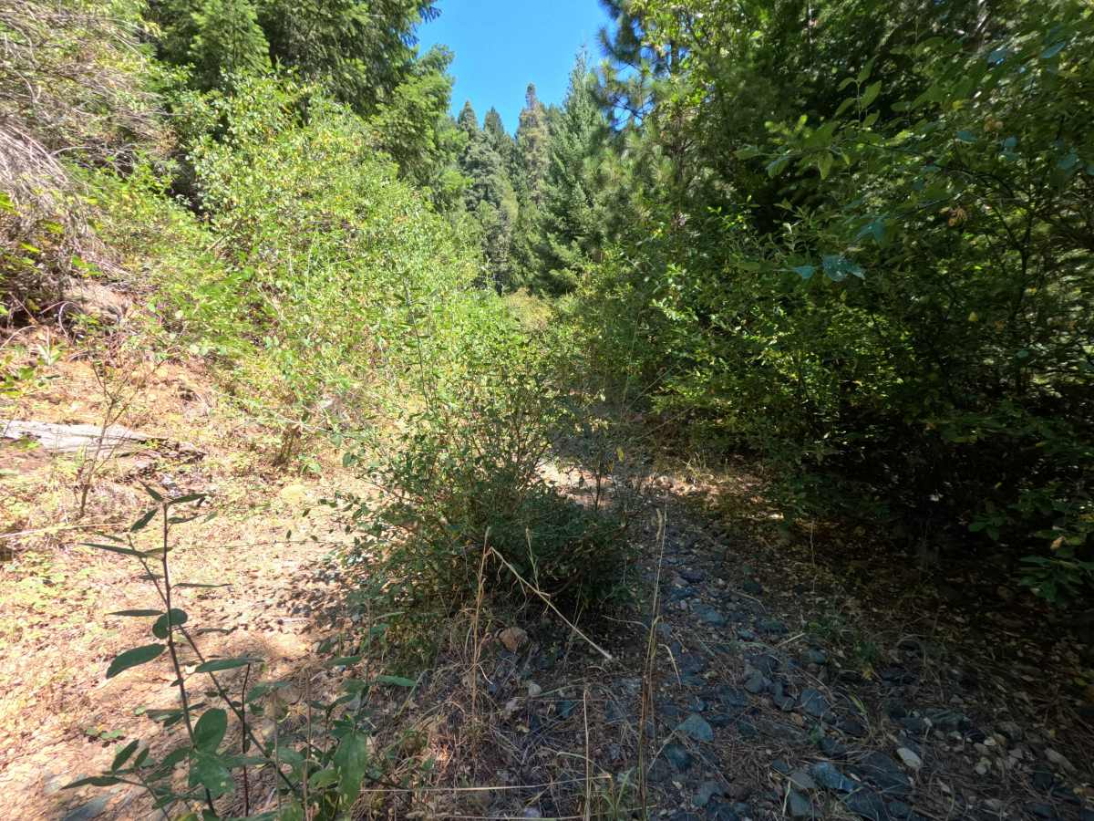
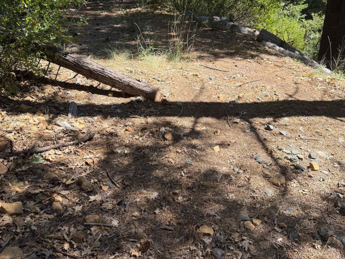
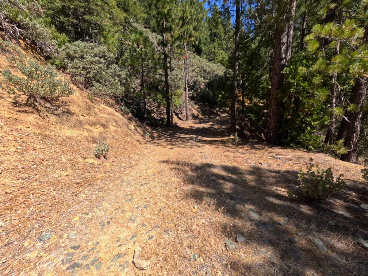
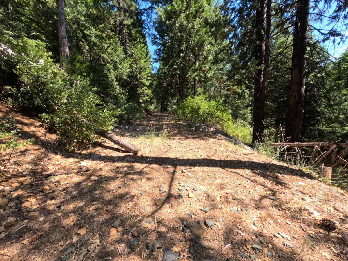
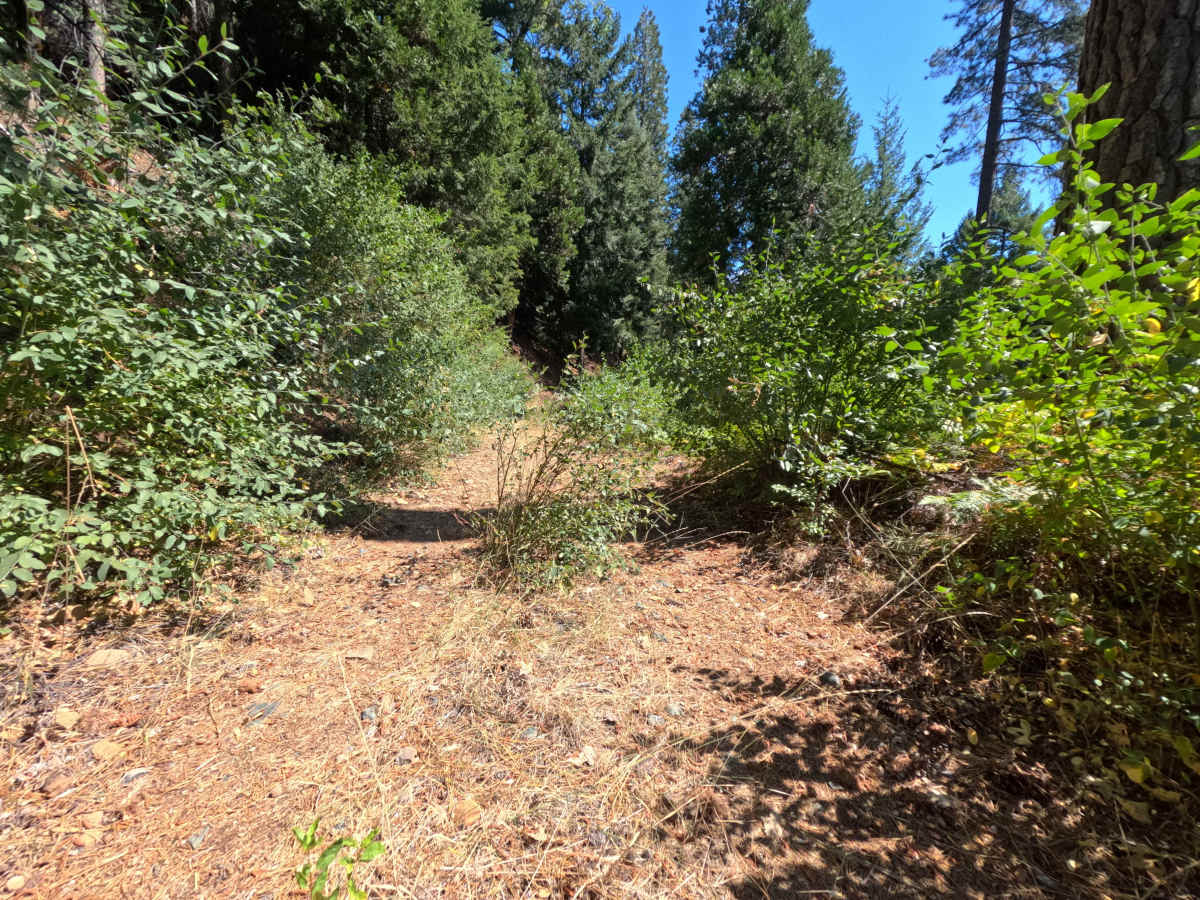
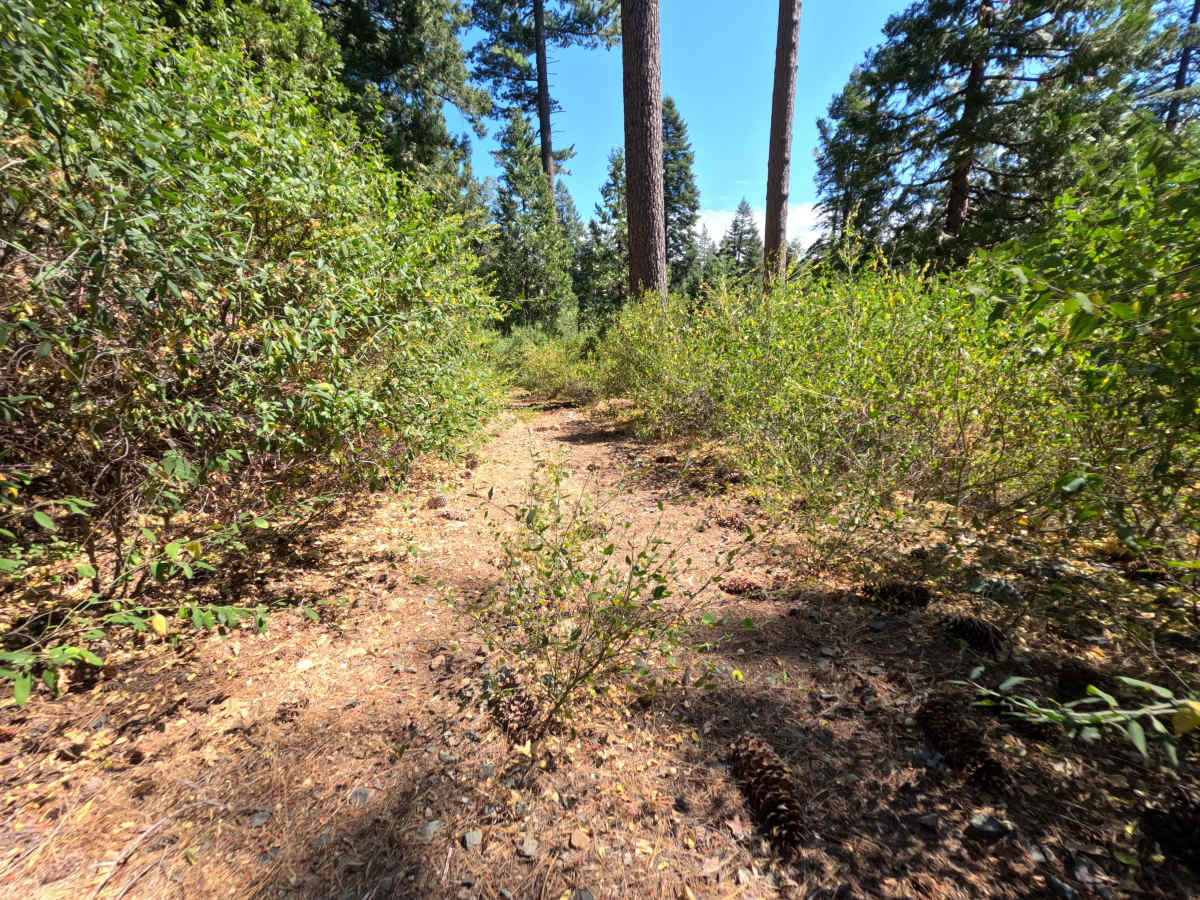
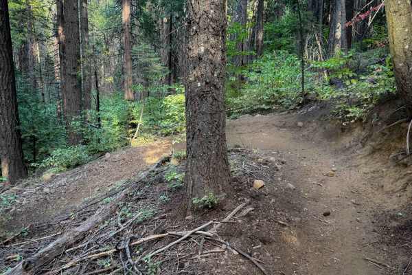
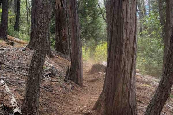
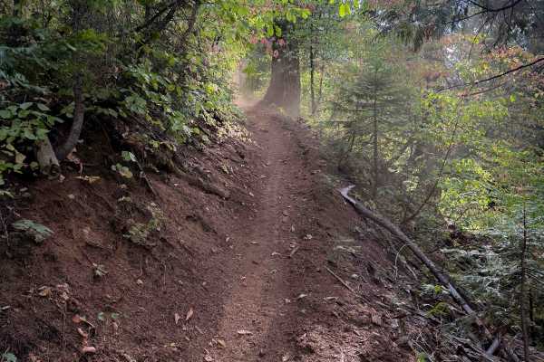
Originating off East Excelsior Point Road, North Canal (FS 20-017-04-01) is a secluded, little-traveled dirt spur tracing an old water conveyance grade above the forest valley. Winding through a quiet mixed canopy of ponderosa pine, Douglas fir, and canyon live oak, the route traverses public timberlands managed by the Tahoe National Forest. This narrow, unmaintained single-track dirt track carries a technical rating of 2 due to scattered surface rocks, tall center-ridge vegetation, and encroaching side brush. What once served as an upland throughway has deteriorated into an out-and-back trail, dead-ending where a sharp climbing turn has fallen into disuse and become reclaimed by nature. Along the hillside traverse, the route traces historic canal banks and crosses a narrow squeeze between a cut fallen log and a steep drop-off. Recreationists primarily seek out this peaceful forest corridor to explore historic ditch-tending routes, observe native wildlife, and enjoy solitary backcountry exploration away from busier recreation hubs.
Difficulty
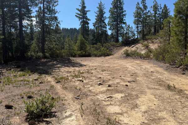
Rated a 2, this trail presents a manageable but tight track where drivers must maintain steady low speeds and watchful line placement. The roadbed features loose rock, pine needle duff, and tall brush growing in the center divide, requiring care to prevent dragging dry undergrowth against lower components. As the corridor narrows, maneuver with precision past a bucked log situated along an exposed hillside drop to ensure tires remain securely centered on the tread. Thick foliage increasingly crowds the shoulders toward the end, creating paint-scratch hazards and eliminating suitable turning areas; turning around at an early wide spot before the thickest overgrowth is strongly recommended.