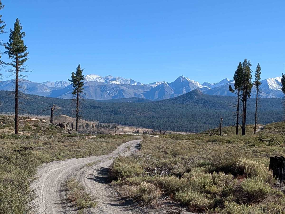
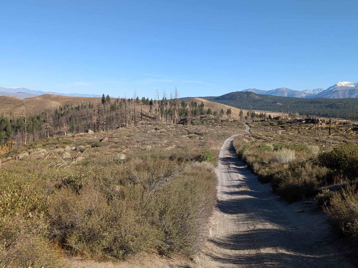
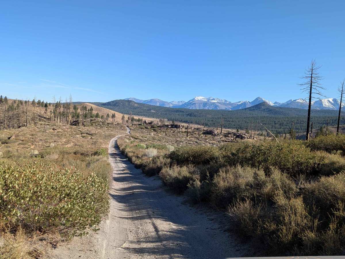
Trail Overview
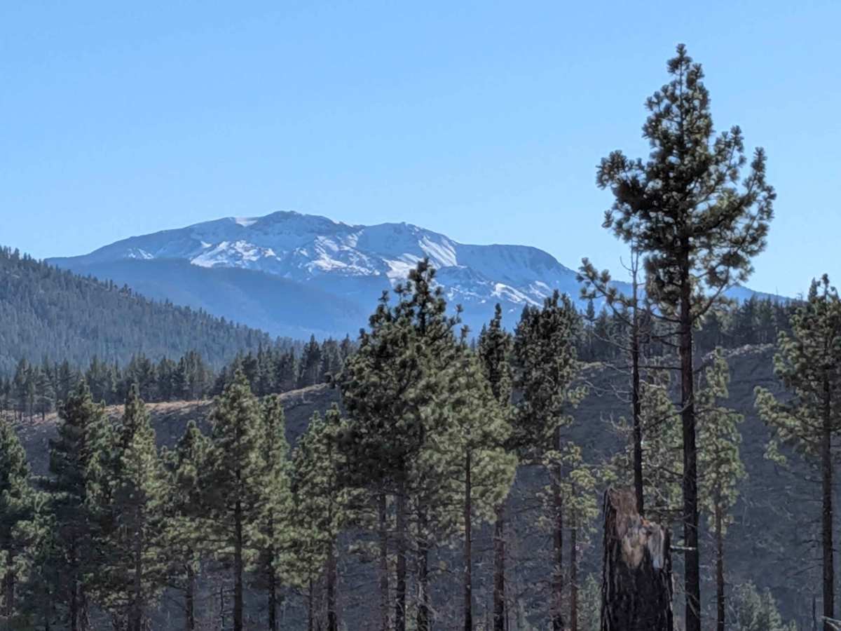
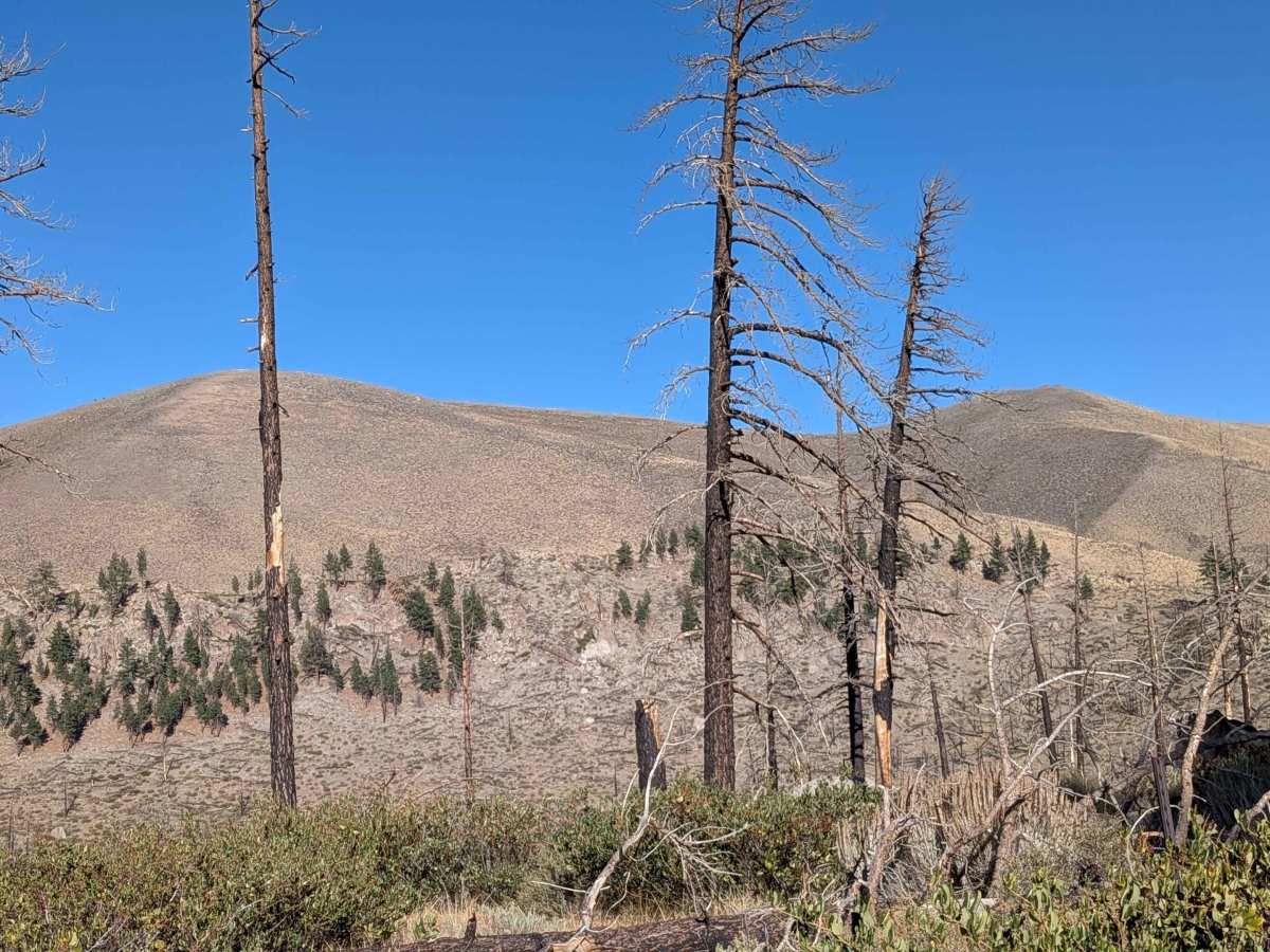
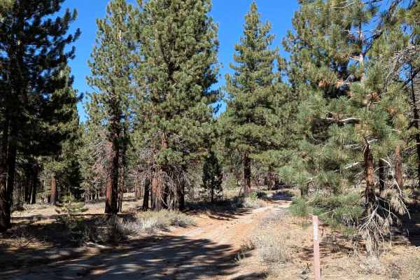
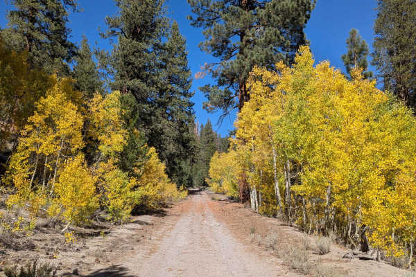
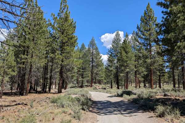
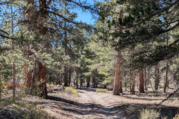
This 5-mile point-to-point trail starts on Bald Mountain Road and climbs almost 1,000 feet, ending at Clark Canyon Trail. The sand and pumice surface is one vehicle wide, running through a pine forest with some sagebrush in the Inyo National Forest before ending at a private ranch. Bald Mountain and its lookout tower are visible early in the trail. You go through a burnt forest just below Bald Mountain, where the Eastern Sierra mountains start peeking through. Eventually, you get really good views of the Eastern Sierras and Bald Mountain. The trail reaches a shelf road above a small canyon surrounded by rock formations at Al's Garage climbing area. Indiana Summit has a history rooted in its unusual geology as California's first Research Natural Area and a long relationship with the Paiute people.
Difficulty
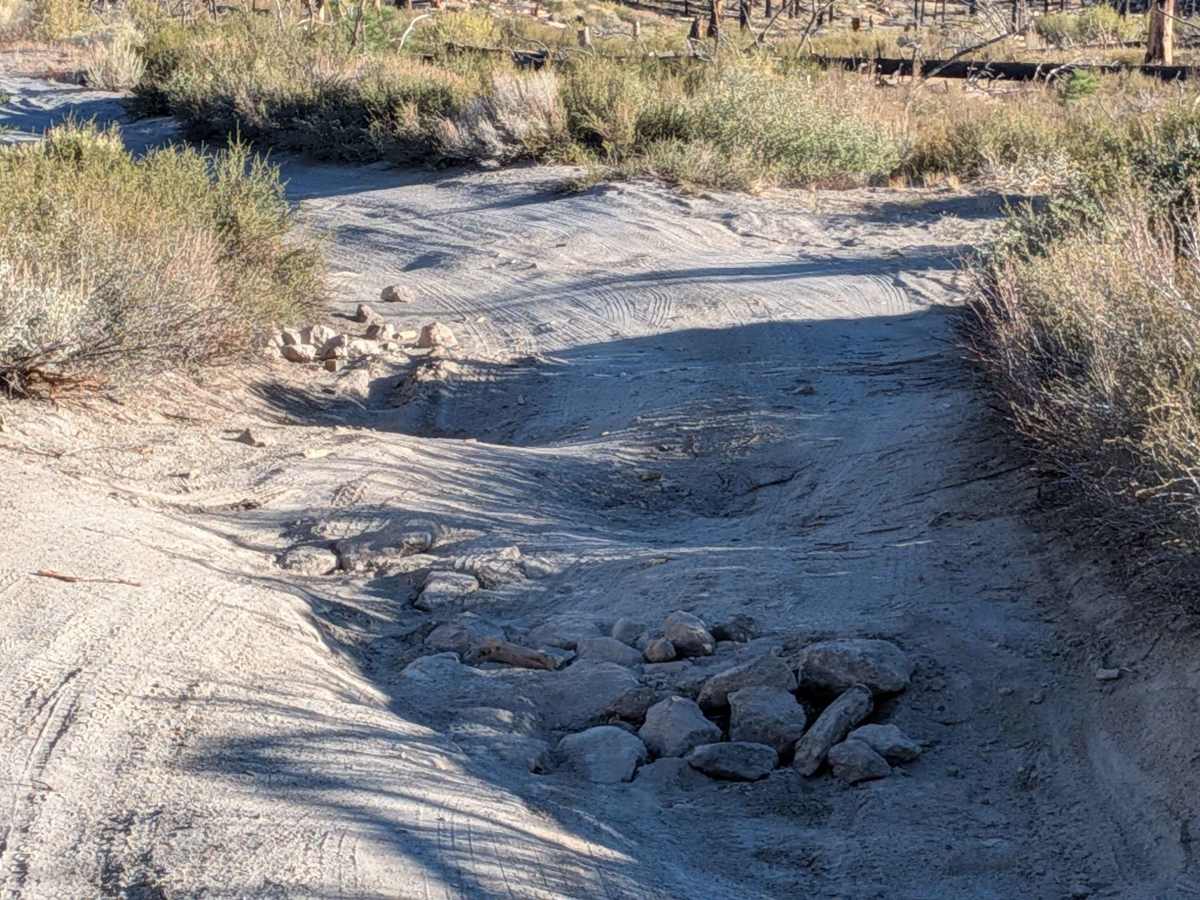
This trail features lots of small ruts throughout and is very bumpy despite the rating. A few large downed trees have been cut for passage or have bypasses. You will have to go over a very small tree. Near Indiana Summit Natural Area, there's a bunch of big trees down with a permanent drive-around using an alternate trail. There is also a shelf road section above a small canyon.
History
Clark Canyon, near Mammoth Lakes, California, is a relatively recently developed rock climbing area known primarily for its sport climbing on volcanic tuff. The rock features numerous pockets, making for unique and engaging routes. It is situated in a beautiful forest setting with views of Mount Morrison and nearby peaks.