Holy Climber

Total Miles29.3
Technical Rating
3Easy
Best TimeSummer, Fall
Trail TypeHigh-Clearance 4x4 Trail
Accessible By
Open Trail Map

Trail Overview

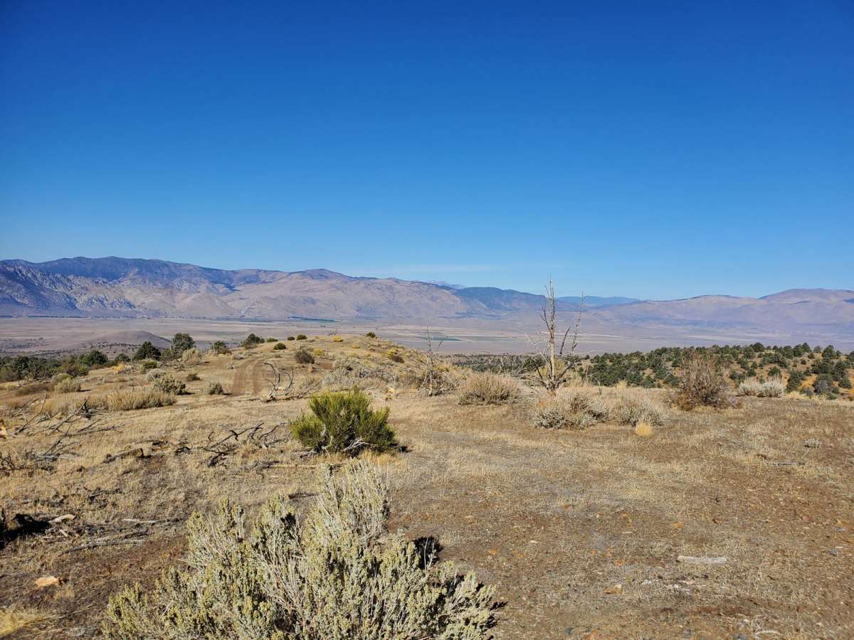
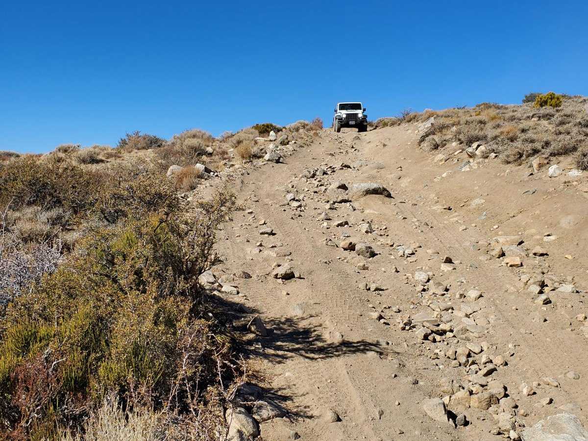
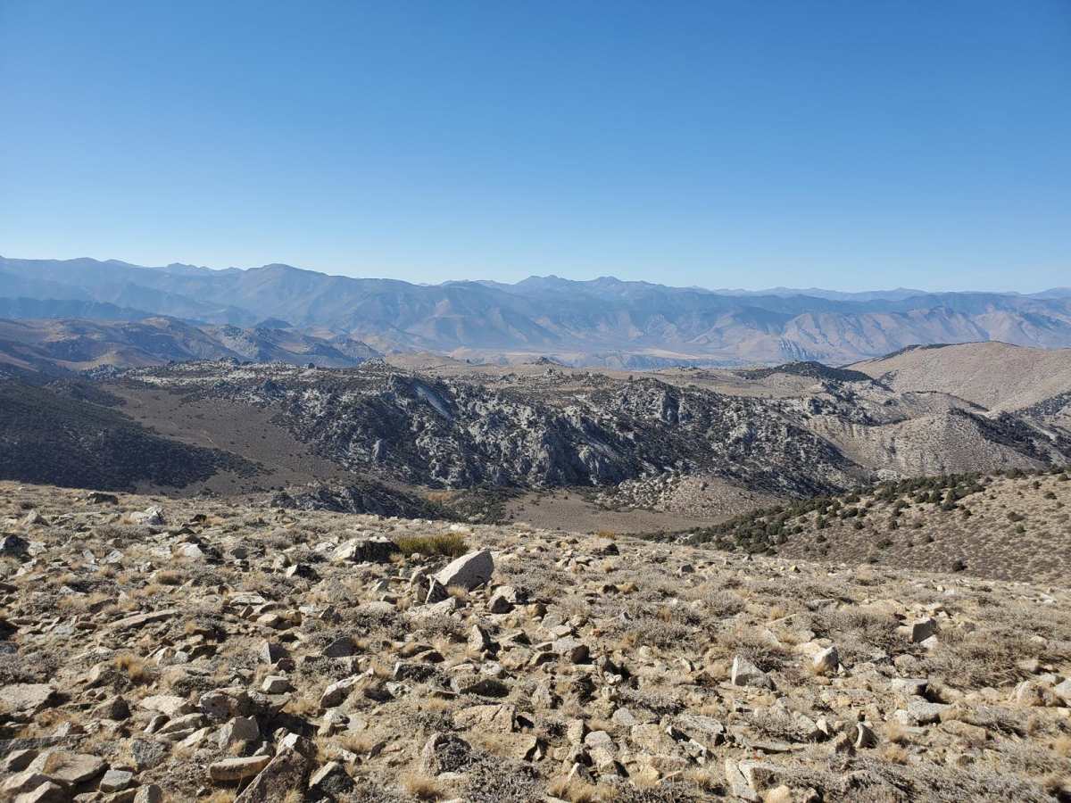
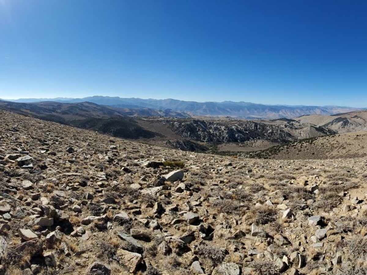
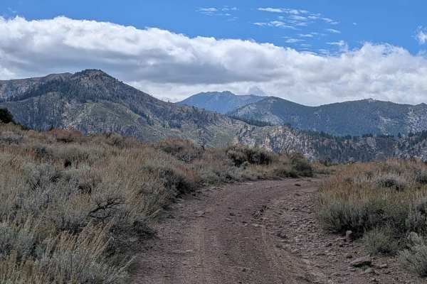
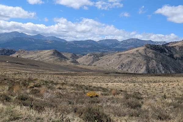
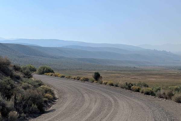
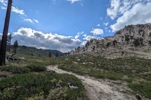
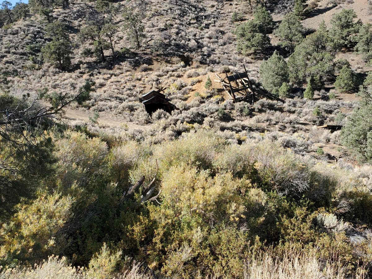
Holy Climber is an incredibly scenic and moderately challenging 29.3-mile off-road adventure through the stunning Sweetwater Mountains, perfect for high-clearance four-wheel-drive vehicles, SxSs, and dirt bikes looking for breathtaking high-altitude vistas and vibrant fall colors. This point-to-point trail traverses the California-Nevada border, climbing from a minimum elevation of 5,289 feet near Topaz Lake to a soaring peak of 9,531 feet near Mount Patterson. Along the way, drivers will navigate a mix of loose, rocky terrain, unpaved dirt tracks with occasional whoops, and several long, steep climbs that demand steady traction and a capable vehicle. While the trail features an average gradient of around 3.5 degrees, certain steep pitches max out near 17 degrees, offering an exhilarating climb with rewarding panoramic views of the surrounding peaks. As you journey through this rugged high-desert landscape, the route crosses several seasonal creeks, including one water crossing that can reach up to a foot deep during the spring runoff, while others remain relatively shallow. The trail winds past notable landmarks such as Wild Horse Mountain and Round Mountain, offering plenty of spots to pause and soak in the expansive vistas of the Great Basin. With a technical rating of 3, the route offers solid traction throughout and presents minimal complex obstacles, making it highly accessible to intermediate drivers with a stock high-clearance four-wheel-drive or a capable SxS. The trail is best run from late spring through autumn before heavy winter snowpacks close these high-altitude passes, making it an unforgettable passage between California's Eastern Sierra and Nevada's rugged backcountry.

Photos of Holy Climber

Difficulty

There is good traction and not a lot of technical trouble.

Technical Rating

3

Status Reports

Add Status Report
Ashton Fera
Aug 02, 2025
2021 Toyota 4Runner
Open
NormalDusty
Absolutely beautiful trail. Surprised i haven’t seen more footage on it. During our drive we saw dozens of hawks as well as a few herds of cows. High clearance is necessary for the southern end exiting nevada and the “holy climb” itself was very steep. Steep enough where i would recommend low range. Overall i would definitely recommend this trail. The views of Mt. Patterson were incredible.
Jon Ross
Jul 09, 2025
2004 Chevrolet Suburban
Open
Came from north to south. Trail was harder than the "3" grading. Sections in Nevada near the desert spring trail involved bouncing over boulders in a creek bed. Some pinstriping was involved. Sections north of the mount Patterson turnoff involved steep loose rocky climbs and descents. But we made it fine in a stock Suburban. Camped a night on the trail, views incredible.
Eric Hunter
May 25, 2025
Open
NormalDustySnow/IceRough/Deteriorated
Snow ruff , loose, rocky, steep, some sections deep mud, one section main line was heavily eroded. Used alternate lines.
Quinn Zunino
Jun 13, 2024
Obstructed
Washout
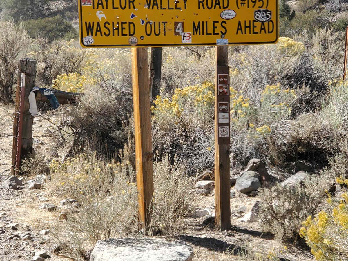
Would not bring a full-size and would hesitate to bring a jeep through the middle section of this trail. Rode ATV starting at desert creek up to lobdell lake. From lake to Nevada line road is very very washed but not necessarily washed out. Large, long inclines that will force you to drive in the brush and make your own bypasses. Take care coming from Nevada side of this trail.
Kenneth K
Oct 24, 2023
2021 Toyota Tacoma
Open
lynn s
Sep 06, 2023
Open
Normal
Brian Rank
Jul 21, 2023
2014 Ford F-Series
Obstructed
Downed TreeOther

Holy Climber Trail can be accessed by the following ride types:

  • Single Track
  • 50 Inch
  • High Clearance

Holy Climber Map

The onX Offroad Difference

onX Offroad combines trail photos, descriptions, difficulty ratings, width restrictions, seasonality, and more in a user-friendly interface. Available on all devices, with offline access and full compatibility with CarPlay and Android Auto. Discover what you're missing today!

Open Trail Map