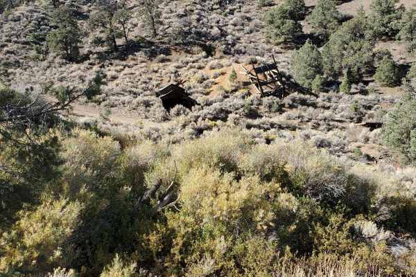
Trail Overview
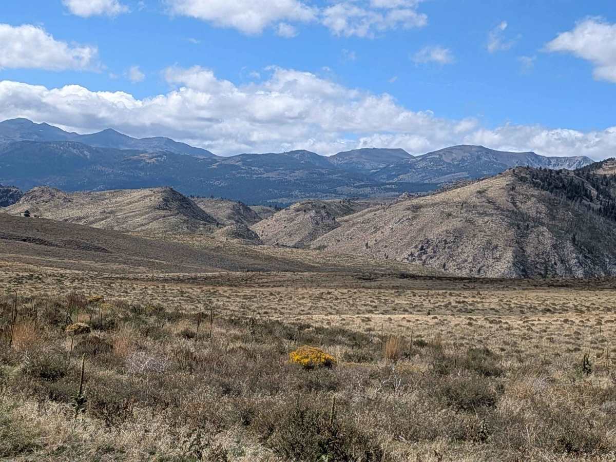
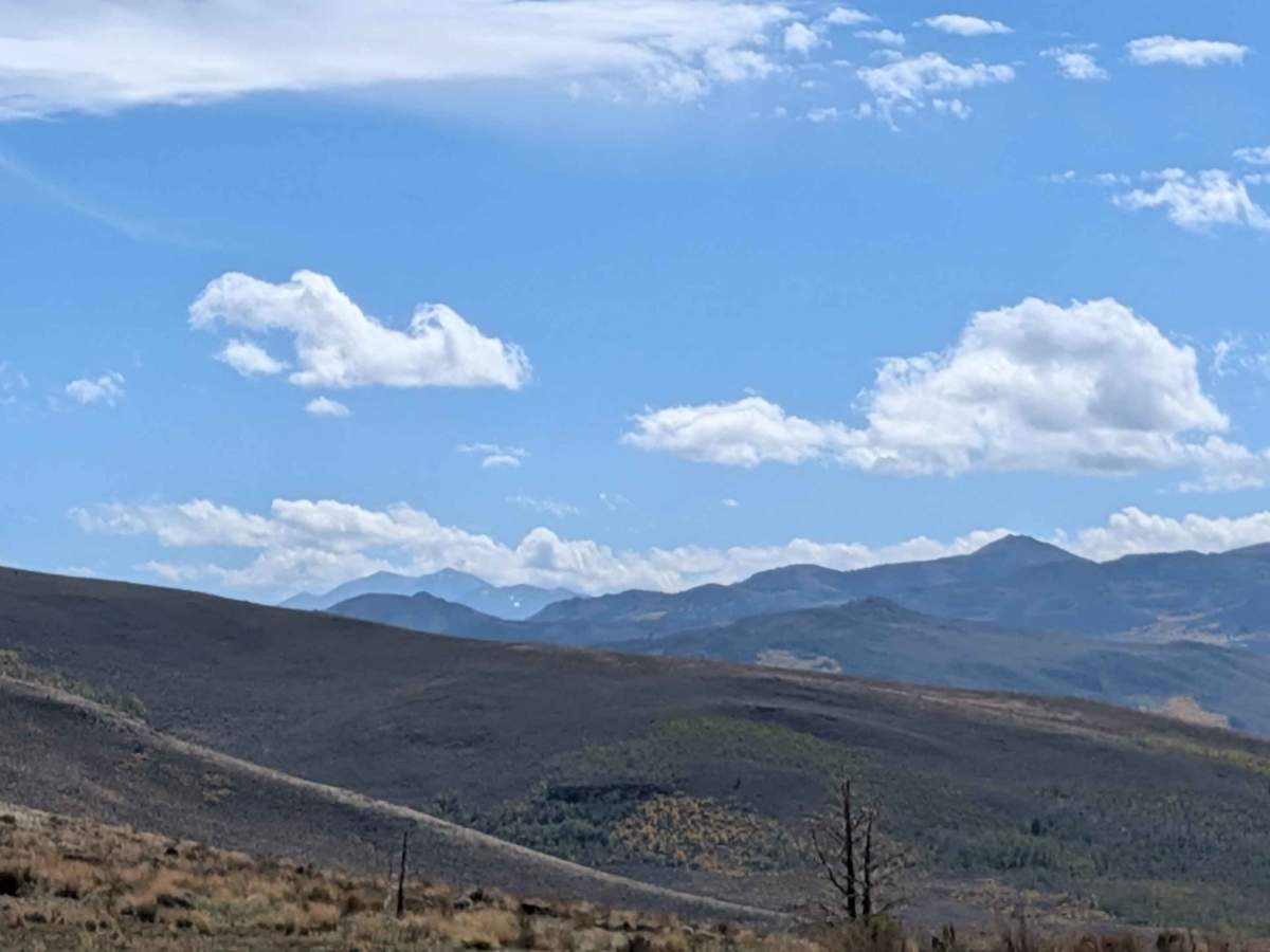
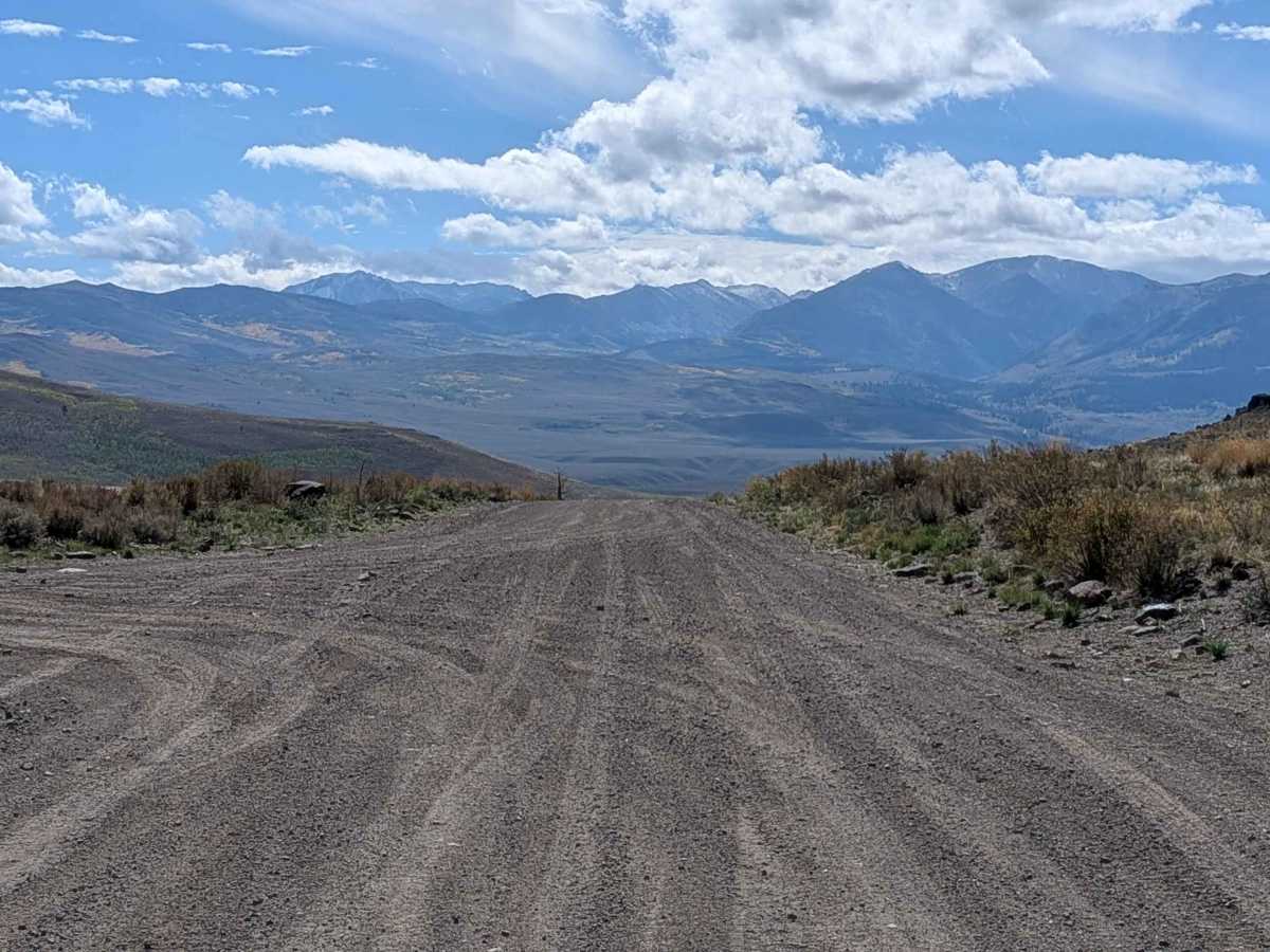
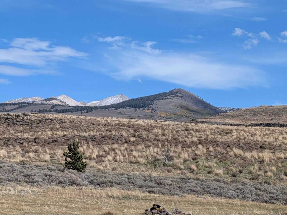
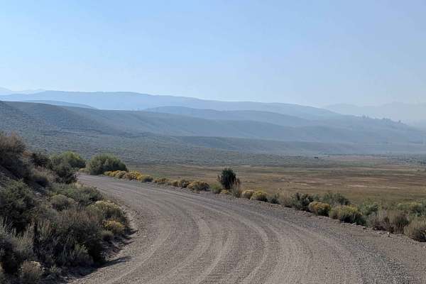
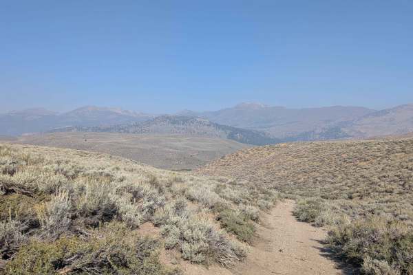
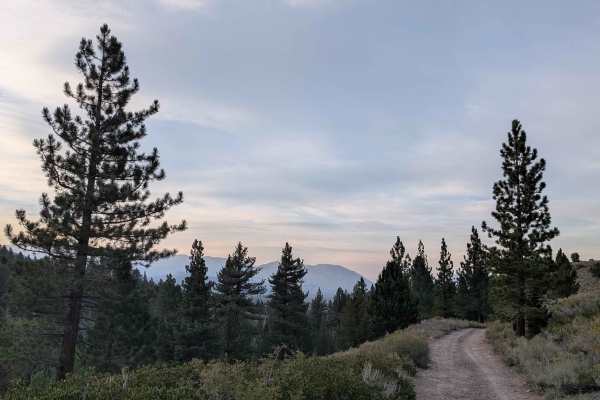
This trail begins just off Highway 395 south of the Sonora Pass Highway, offering convenient access from the main corridor. The route climbs quickly from its starting point, rewarding drivers with spectacular views of the surrounding hills and mountains that expand as elevation increases. The trail maintains a generous width of over 2.5 vehicles for the first three miles on a sandy surface characterized by extensive washboard sections that require appropriate speed management for comfort. After approximately three miles, the trail narrows slightly to two vehicles wide while maintaining its sandy composition and washboard character. The combination of quick elevation gain and wide track makes this an accessible route for experiencing high-country scenery without technical challenges. The sandy surface provides good traction in dry conditions, though the persistent washboards throughout the route will test vehicle suspension and driver patience. The elevated position along the trail corridor provides continuously expanding vistas of the mountain landscape, making this an excellent choice for scenic driving and photography opportunities. The wide track width throughout most of the route allows for easy passing and reduces concerns about meeting oncoming traffic, contributing to a relaxed driving experience despite the washboard surface conditions.
Difficulty
This trail has an easy difficulty rating (1) based on the generous track width, sandy surface with good traction, and absence of technical obstacles. The primary challenges include managing washboard sections for comfort and adjusting to the quick elevation gain, though these represent minor considerations rather than significant barriers to access.
History
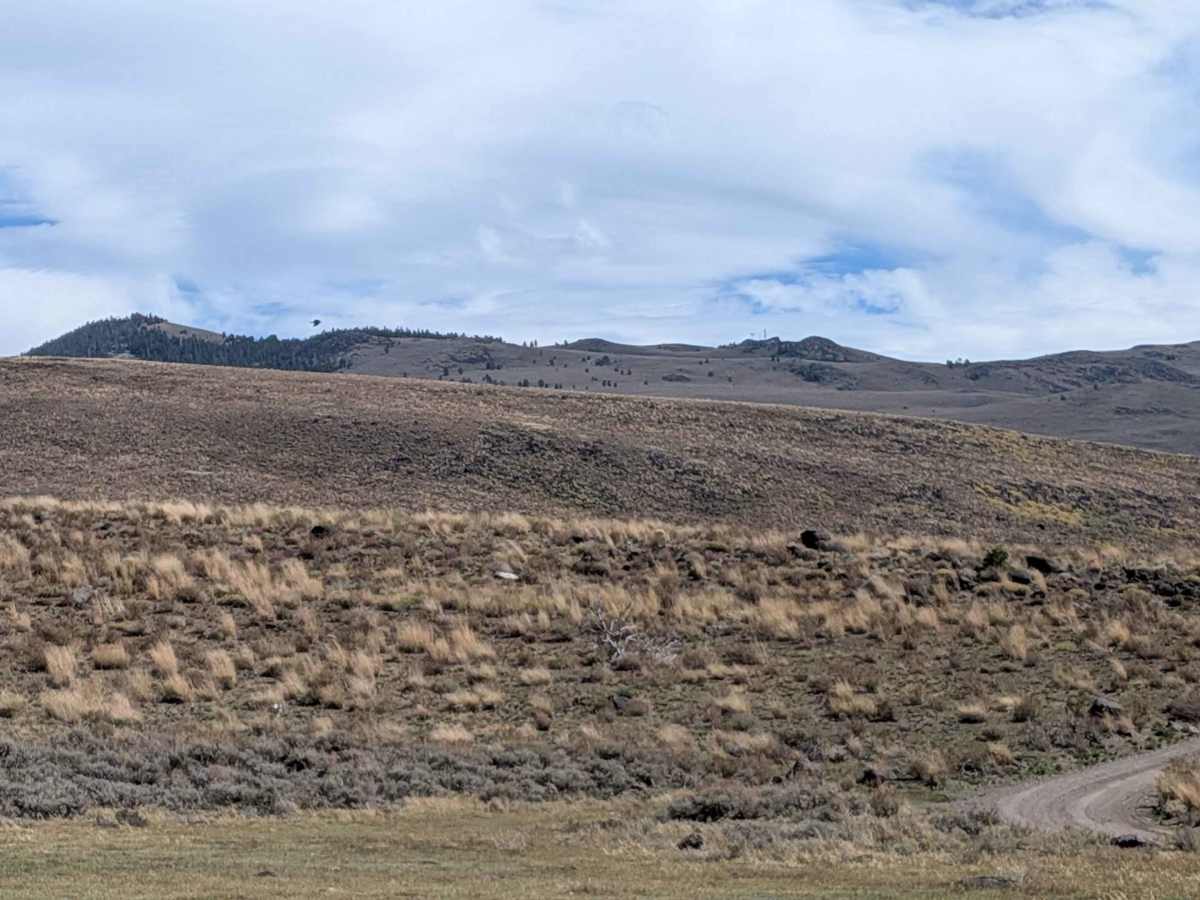
The road's history is tied to this region's past use for cattle grazing, which was later replaced by wildlife conservation efforts following the Burcham & Wheeler Flats Wildlife Area's designation in 2014. The area was historically significant for the sage grouse, with remnants of old strutting grounds still visible, though the habitat has been impacted by past overgrazing and fire suppression.