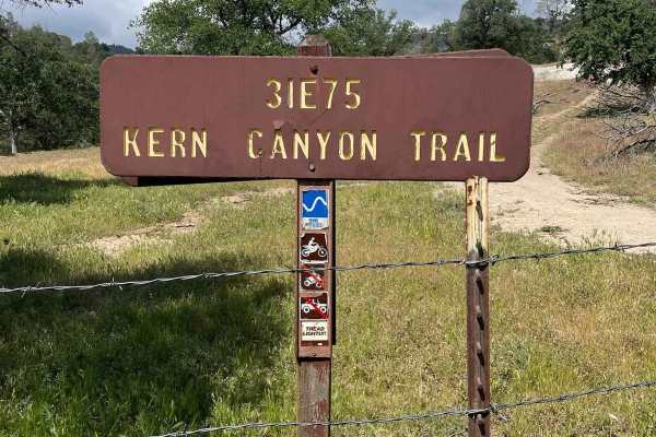
Hogeye Ridge Trail - FS 32E45

Total Miles2.9
Technical Rating
5Moderate
Best TimeSpring, Fall, Summer, Winter
Trail TypeSingle Track
Accessible By
Open Trail Map

Trail Overview

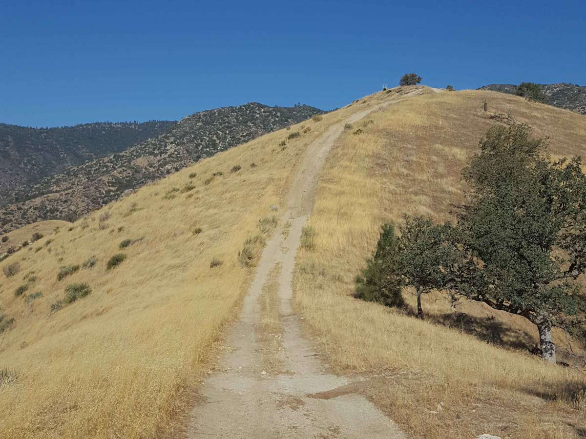
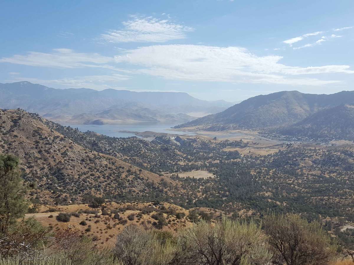
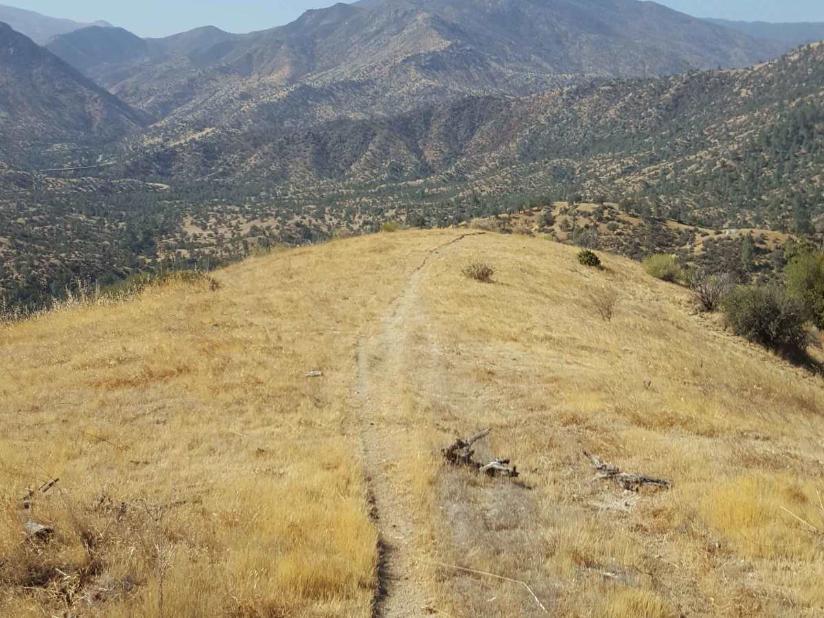
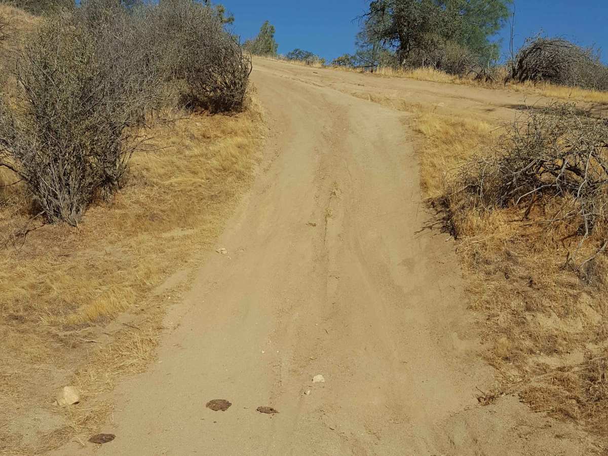
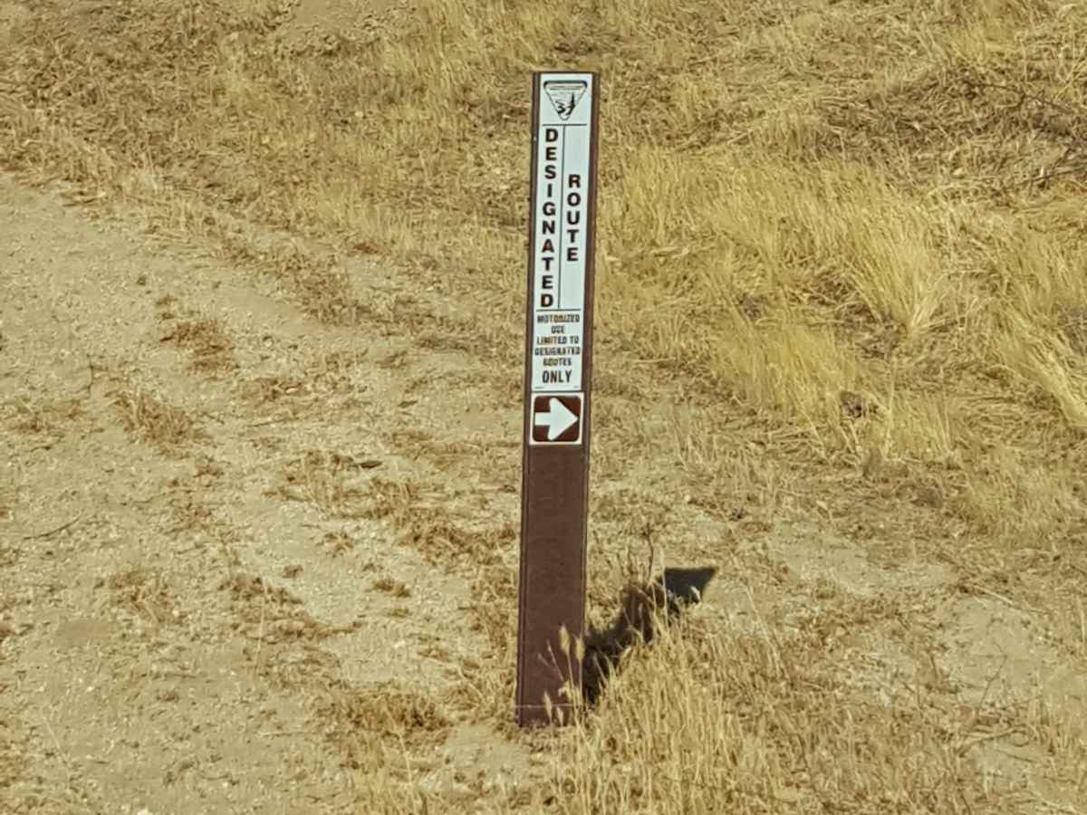
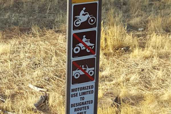
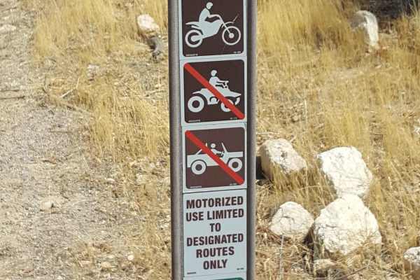
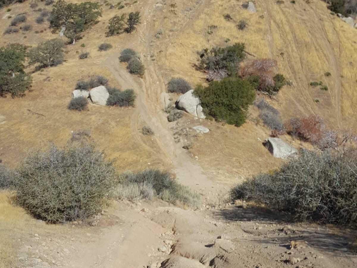
This trail is comprised of both dual-track and single-track paths, although it is limited to dirt bike motorized use only. Depending on the direction ridden, it climbs or descends over 2300 ft across 3 miles, with the longer, steeper climbs being the most challenging obstacles. From the east end, the trail starts at Black Gulch Jeep Trail with several long (200-400 yd) and steep hill climbs over loose soil with embedded rocks and shallow ruts. It will then traverse the ridgeline of several hills, providing great elevated views of the surrounding forest area and Kern River. There are occasional short, rocky obstacles as the trail crosses in and out of several ravines between climbs/descents connecting different ridges, but nothing too serious. A good portion of the western side of the trail is relatively flat packed dirt, allowing for fast, easy riding. Be aware that this trail is shared use with hikers and horseback riders, so keep an eye out for others on the trail. Also note that the western portion of the trail in the Sequoia National Forest is closed annually from 01/01 to 04/14, while the eastern trail section on BLM land is open all year. Green sticker required for dirt bikes. Tread Lightly and Pack-It-Out.

Photos of Hogeye Ridge Trail - FS 32E45

Difficulty

Steep and long hill climbs

Technical Rating

5

Hogeye Ridge Trail - FS 32E45 Trail can be accessed by the following ride types:

  • Single Track

Hogeye Ridge Trail - FS 32E45 Map

The onX Offroad Difference

onX Offroad combines trail photos, descriptions, difficulty ratings, width restrictions, seasonality, and more in a user-friendly interface. Available on all devices, with offline access and full compatibility with CarPlay and Android Auto. Discover what you're missing today!

Open Trail Map