Trail Overview
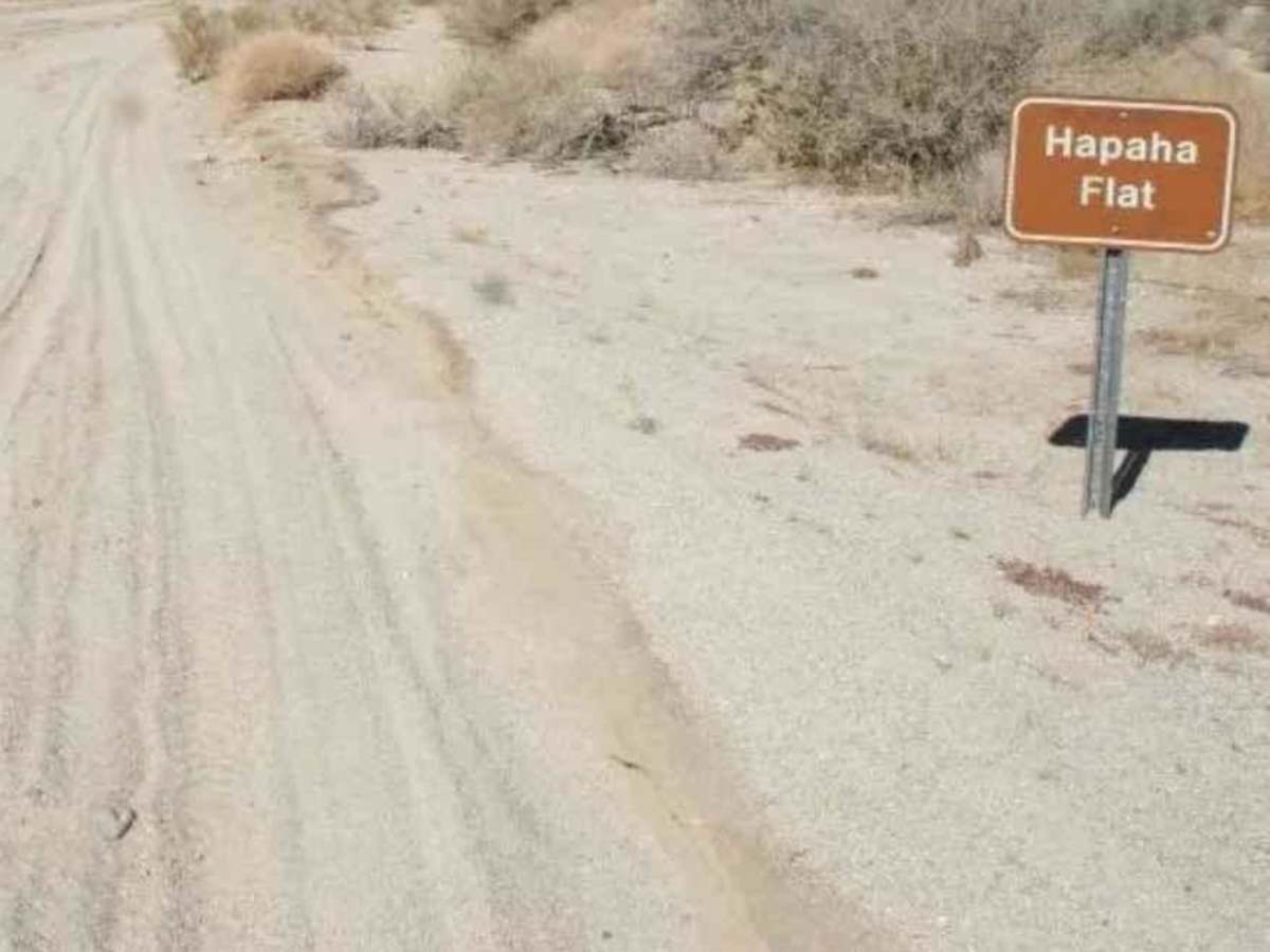
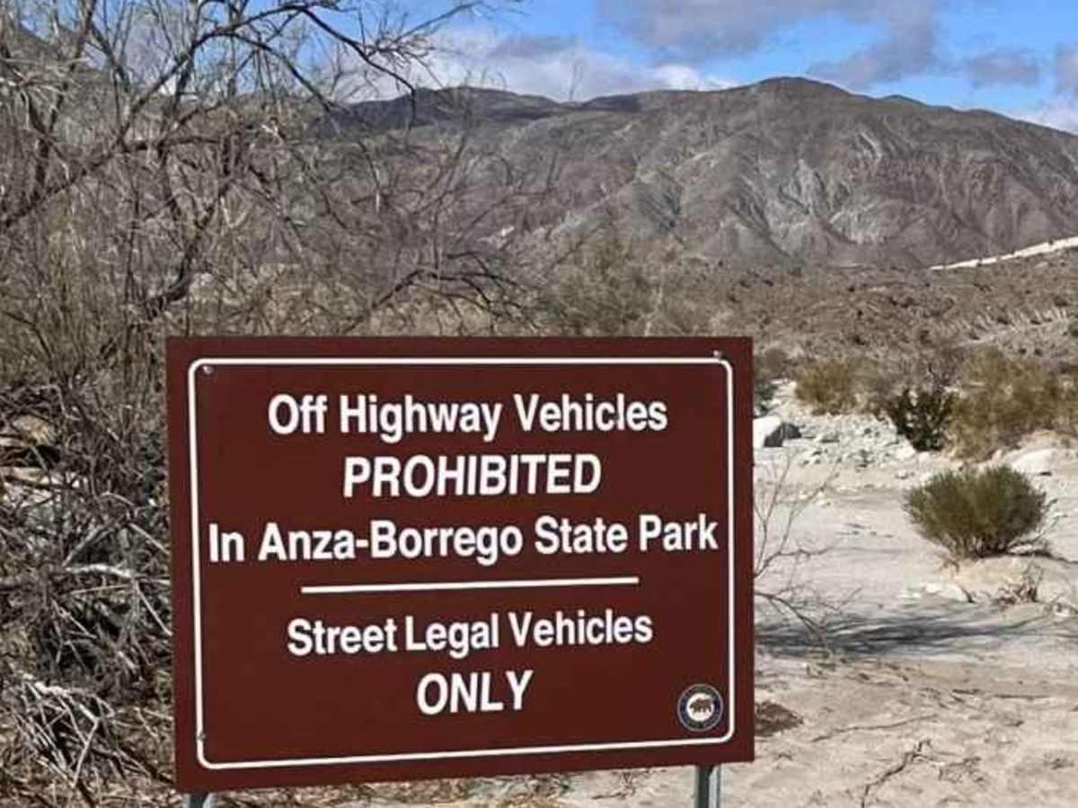
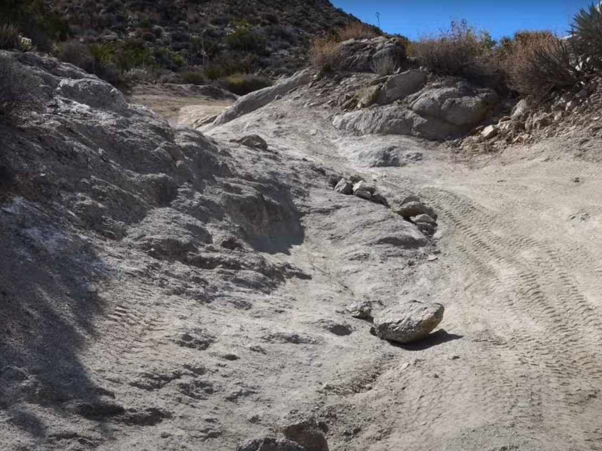
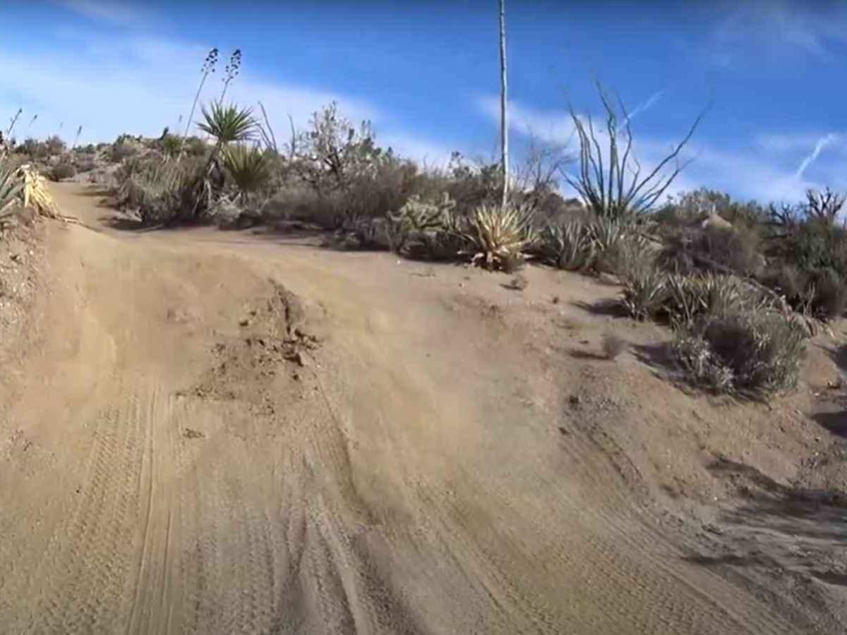
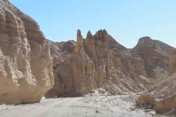
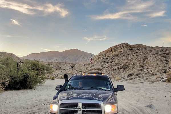
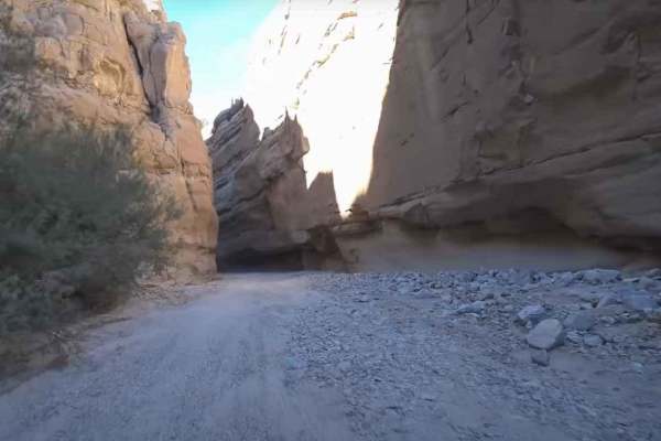
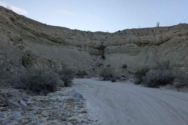
Hahapa Flat Road is a 3.7-mile point-to-point trail rated 3 out of 10 located within the California Anza-Borrego Desert State Park (ABDSP). Trails within the ABDSP are restricted to street-legal vehicles. Hahapa Flat is an extension of the Pinyon Mountain trail when running west to east but can also be accessed from the east from Fish Creek Wash. It should be noted that the Pinyon Mountain trail is a one-way trail and should not be driven from this access. The northern end of this trail opens up into a large bowl-shaped valley. The valley is known to be one of the sites of the largest ancestorial Kumeyaay villages in the region. The trail is mostly a sand wash, however, there are two notable obstacles along the western portion of the trail: a "V-notch" and a waterfall. Both are easily negotiated by most 4WD high-clearance vehicles. The northern end of the trail is the intersection with the Pinyon Mountain Road and the Pinyon Wash (AKA McCain Spring). This valley is limited to camping near the intersection and exploration by non-motorized means. Near the intersection are the remains of the McCain Springs. To visit the springs, follow the old rusty pipe located near the intersection and scramble up the rocks until you find the old shaft and some exposed wood boards. The real treat of this area is hiking around and locating the various signs of the ancestorial Kumeyaay village. Located among the rocks you may find pictographs, morteros (grinding stones), obsidian, maybe an arrowhead, and pottery shards. Remember, it is illegal to remove any artifact found in the area. If you pick it up, please replace it where you found it. There is no cell phone reception in this area. Borrego Springs is the closest town with services.
Difficulty
The trail consists of loose rocks, dirt, and sand with some slick rock surfaces and mud holes possible. No steps are higher than 12 inches. 4WD may be required, and aggressive tires are a plus.
History
Anza-Borrego Desert State Park is a California State Park located within the Colorado Desert of southern California, United States. The park takes its name from 18th-century Spanish explorer Juan Bautista de Anza and the Spanish word borrego, which literally means "lamb" but is also used to describe the desert bighorn sheep. With nearly 600,000 acres, it is the largest state park in California as well as the 48 contiguous states. The park has varied topography that includes dry lake beds, badlands, and mountains that rise above 5,500 feet (1,675 meters). Two-thirds of the park's area is designated as wilderness, and cactus, yucca, and ocotillo are abundant throughout. Among the park's attractions are groves of California fan palms and a profusion of wildflowers that bloom in mid-to-late winter. Deer, kit foxes, iguanas, rattlesnakes, roadrunners, eagles, and the endangered desert bighorn sheep are all found within the park.