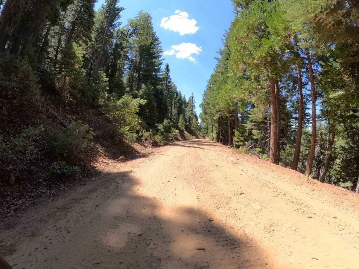
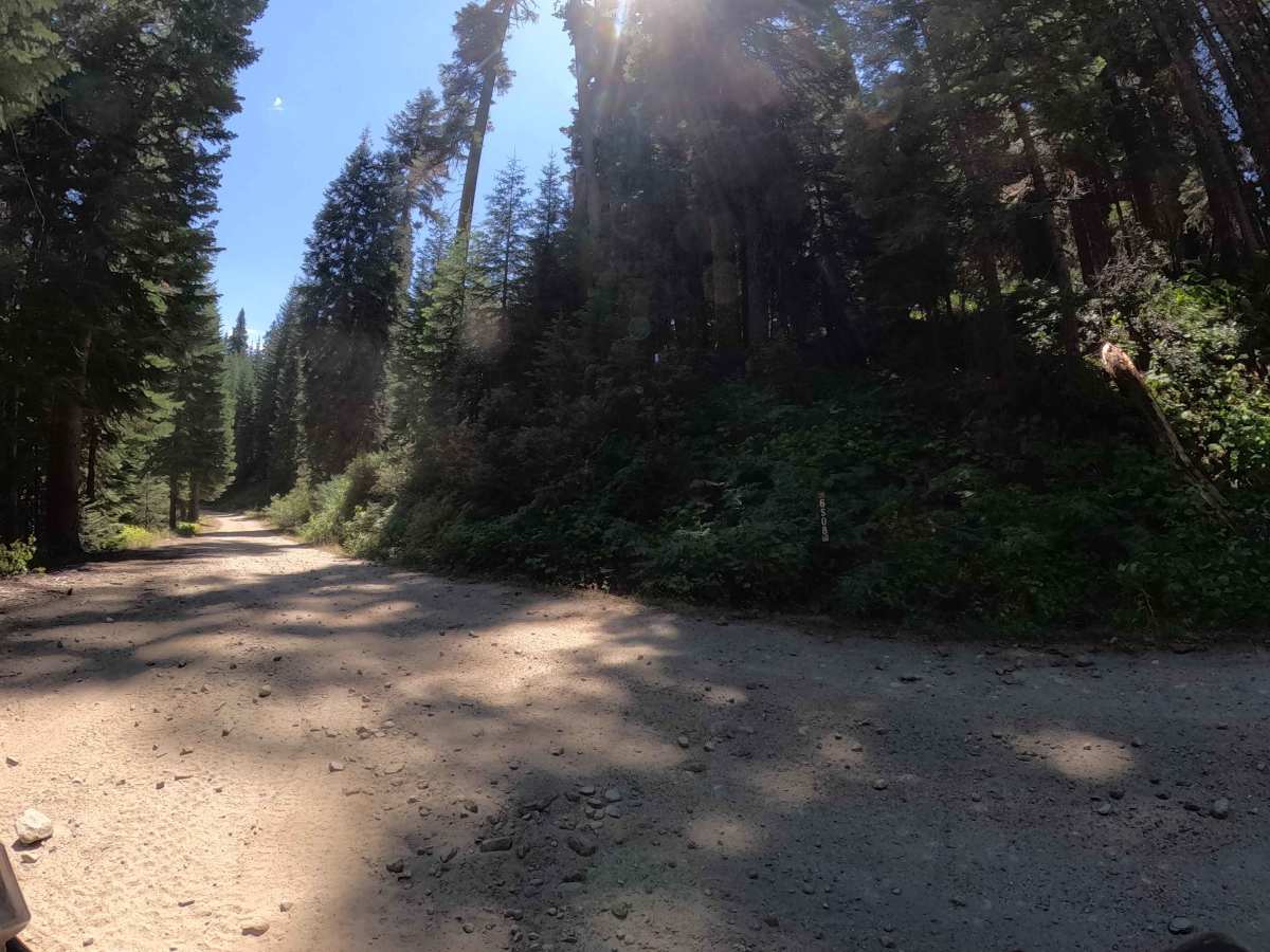
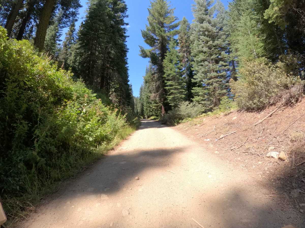
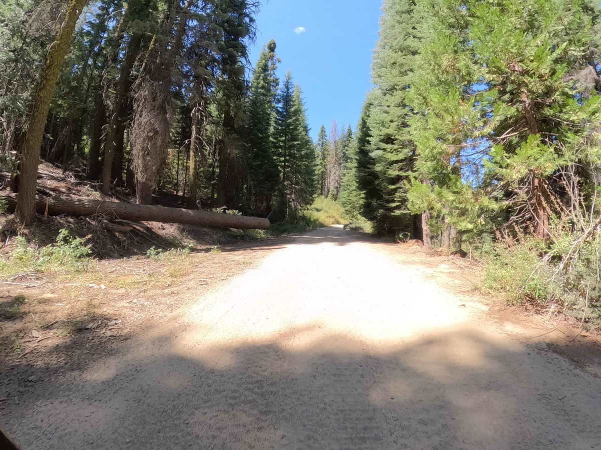
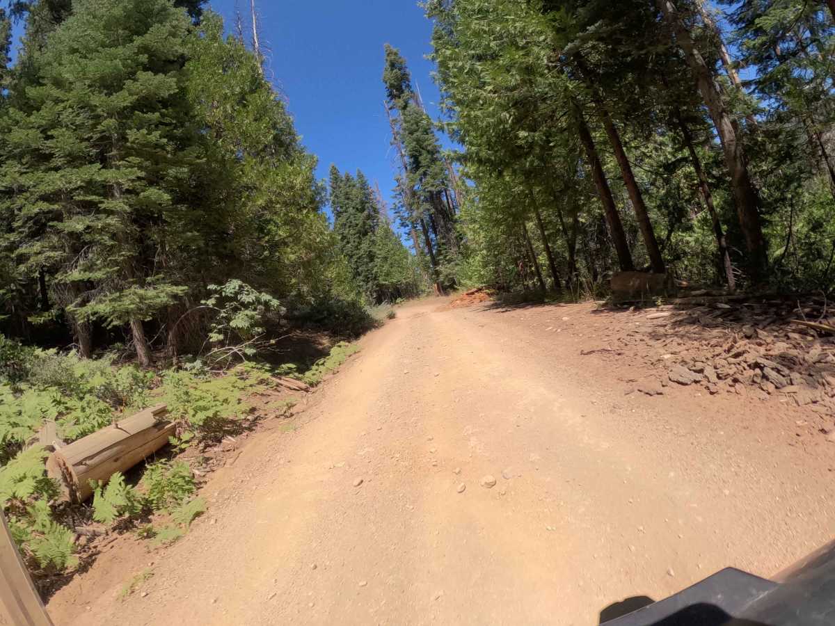
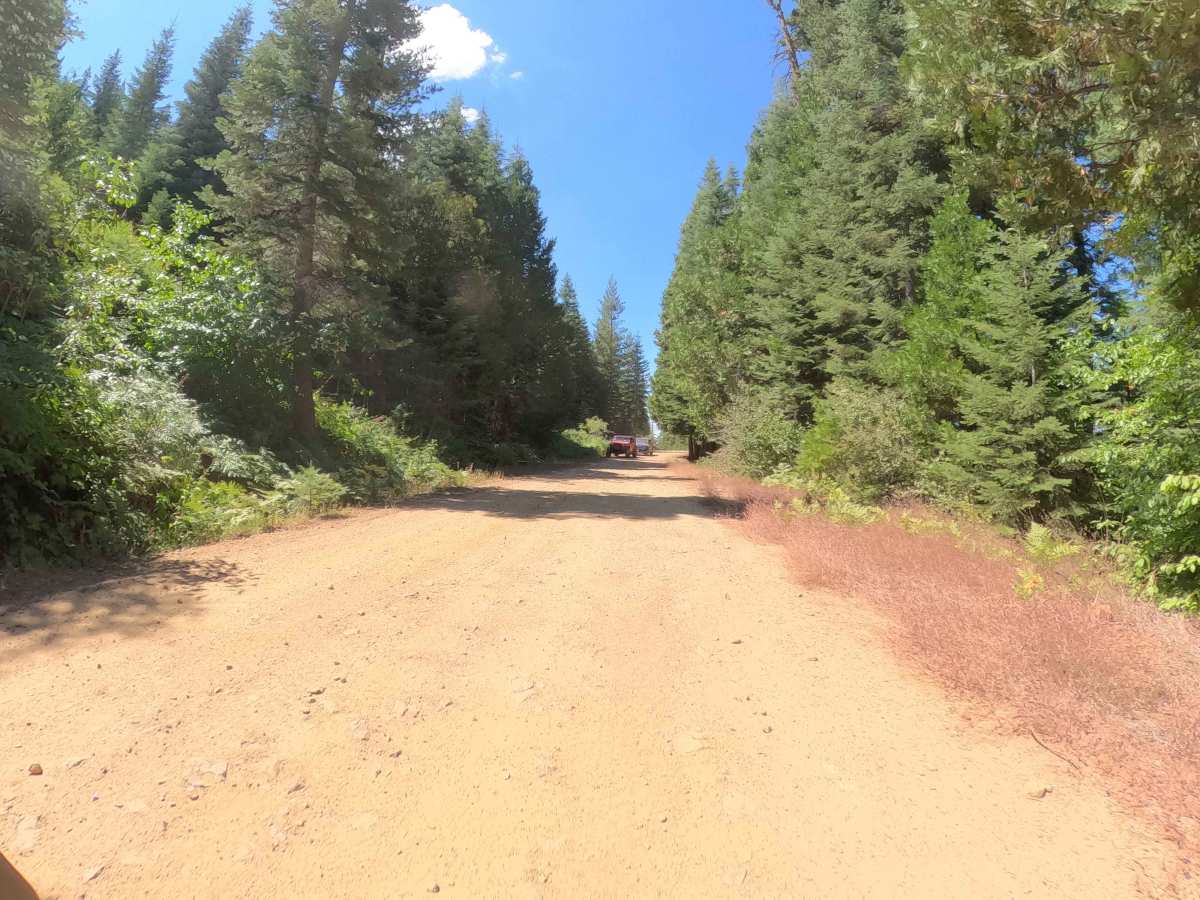
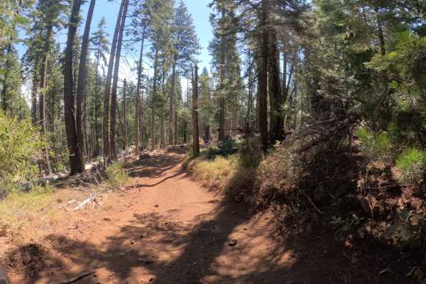
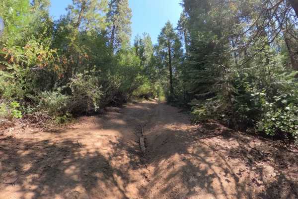
Trail Overview
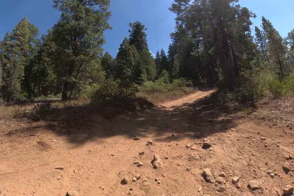
This 5.5-mile route is a rough-and-tumble forest road that feels like a backcountry highway cut through granite. Connecting Soquel Meadow Road (FS 6S040) to the Beasore Loop (FS 6S010X), Greys Mountain offers a distinct change of pace from the smoother roads nearby. The trail is defined by its embedded rock surface, where tires constantly rumble over fixed granite chunks and loose stones. It winds through a varied landscape, transitioning from dense, healthy pine forests to open, sunbaked ridgelines with expansive views of the hazy blue mountains in the distance. While wide enough for two vehicles in most spots, the constant vibration keeps speeds checked. It’s a perfect access route for those seeking solitude at Greys Mountain Campground or one of the secluded dispersed sites tucked into the trees.
Difficulty
This trail is a classic "Rough 2." It poses no technical obstacles that would stop a standard high-clearance SUV. There are no ledges, deep mud pits, or off-camber tippy spots. However, the surface is consistently rocky and uneven, meaning a standard passenger car would be miserable and at risk of oil pan damage. High clearance is strongly recommended simply for ride comfort and to clear the larger embedded stones without wincing. 4WD is not required when dry, but good tires are a plus.