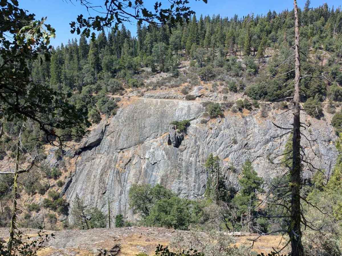
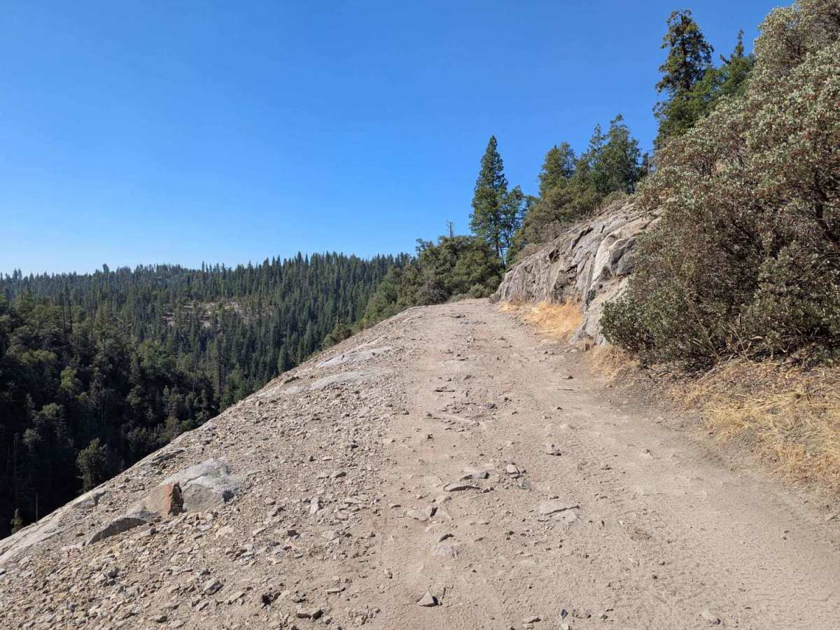
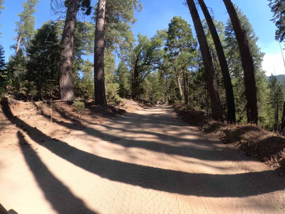
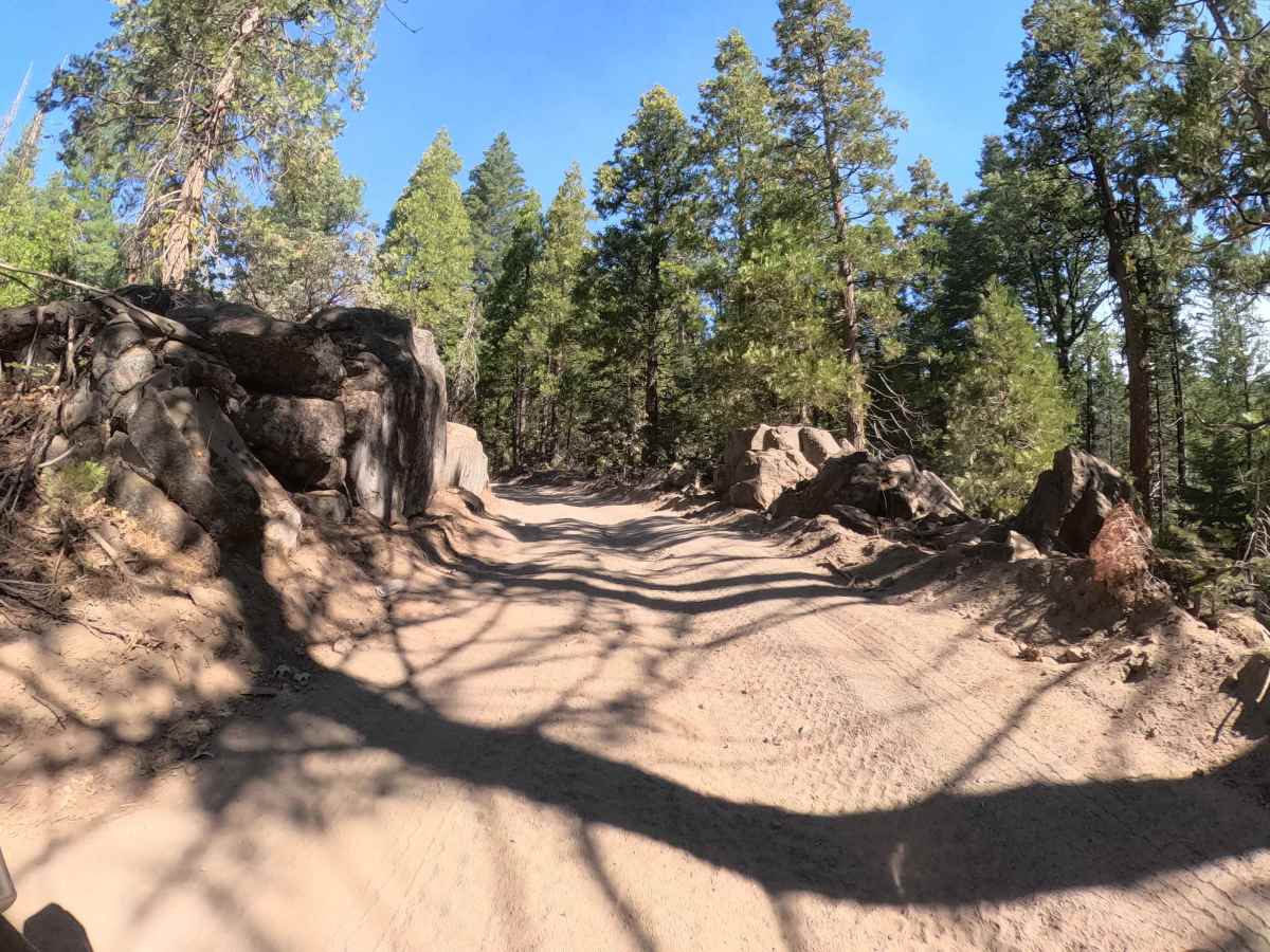
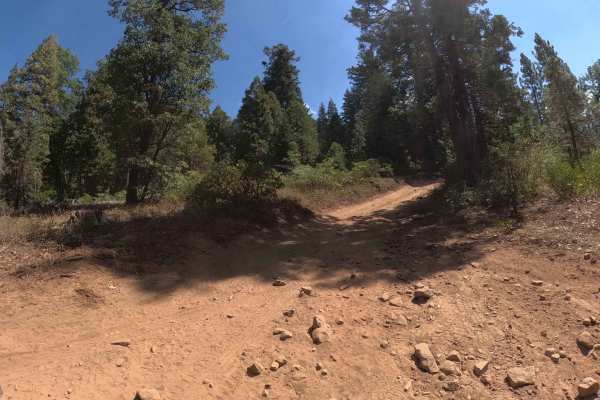
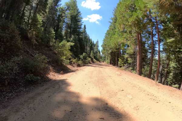
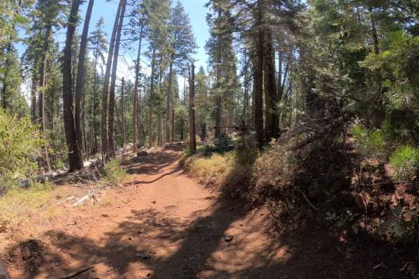
Trail Overview
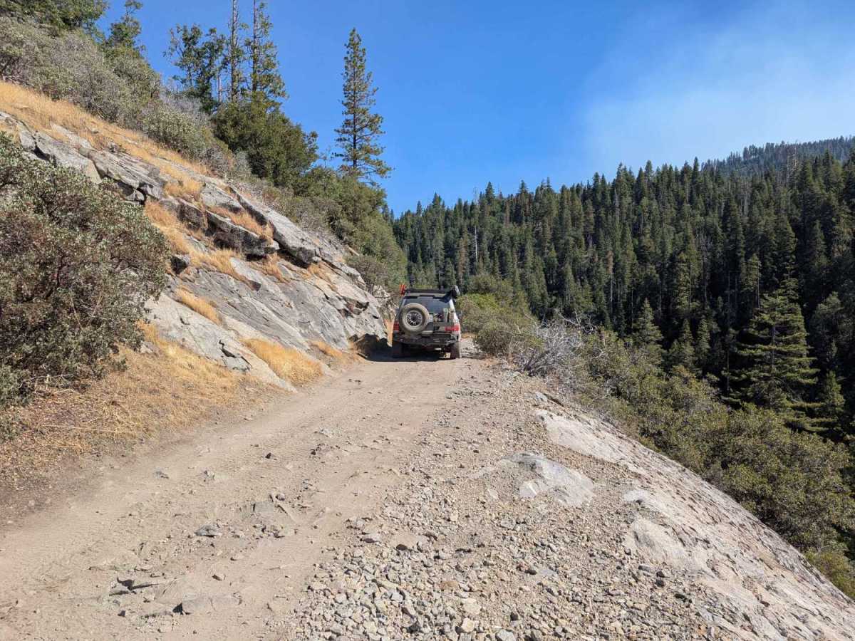
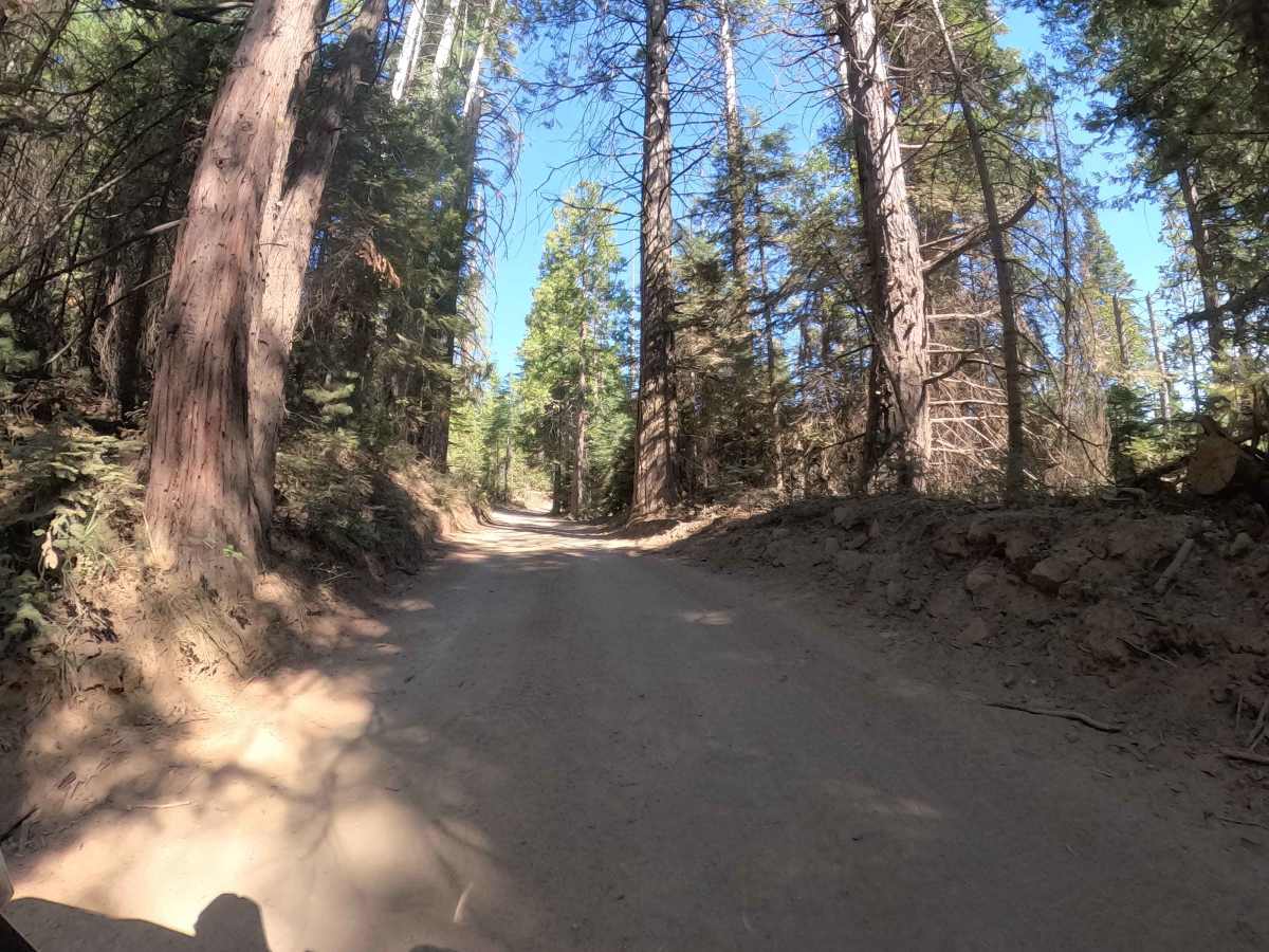
If you are looking for a shortcut between Greys Mountain Road and the Sivils Ranch Loop, Bluff (FS 6S011X) is your ticket, but don't expect to get there quickly. This trail is a slow-speed "granite grinder" defined by a roadbed heavily embedded with sharp, fixed rocks that will keep your suspension cycling and your teeth rattling. It’s not technical in terms of big ledges, but the relentless, jagged surface demands patience and good tire placement to avoid sidewall slices. The route winds through a dense mixed-conifer forest before revealing its namesake feature: a short but serious section of exposed shelf road high above the North Fork of Willow Creek. Here, the trees thin out, offering a brief, adrenaline-pumping view of the canyon floor far below. It’s a rugged, bumpy connector that keeps you honest.
Difficulty
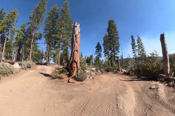
While this trail doesn't feature massive boulders or deep mud, it earns a Rating 3 due to the rough, embedded road surface and the exposure. The granite rocks are fixed in the soil and often have sharp edges, requiring drivers to air down significantly for ride quality and tire preservation. A standard passenger car would struggle with maintaining pace and likely suffer a flat tire. Additionally, the brief section of narrow shelf road with a steep drop-off to the creek adds a psychological challenge that elevates it beyond a simple forest road.