Trail Overview
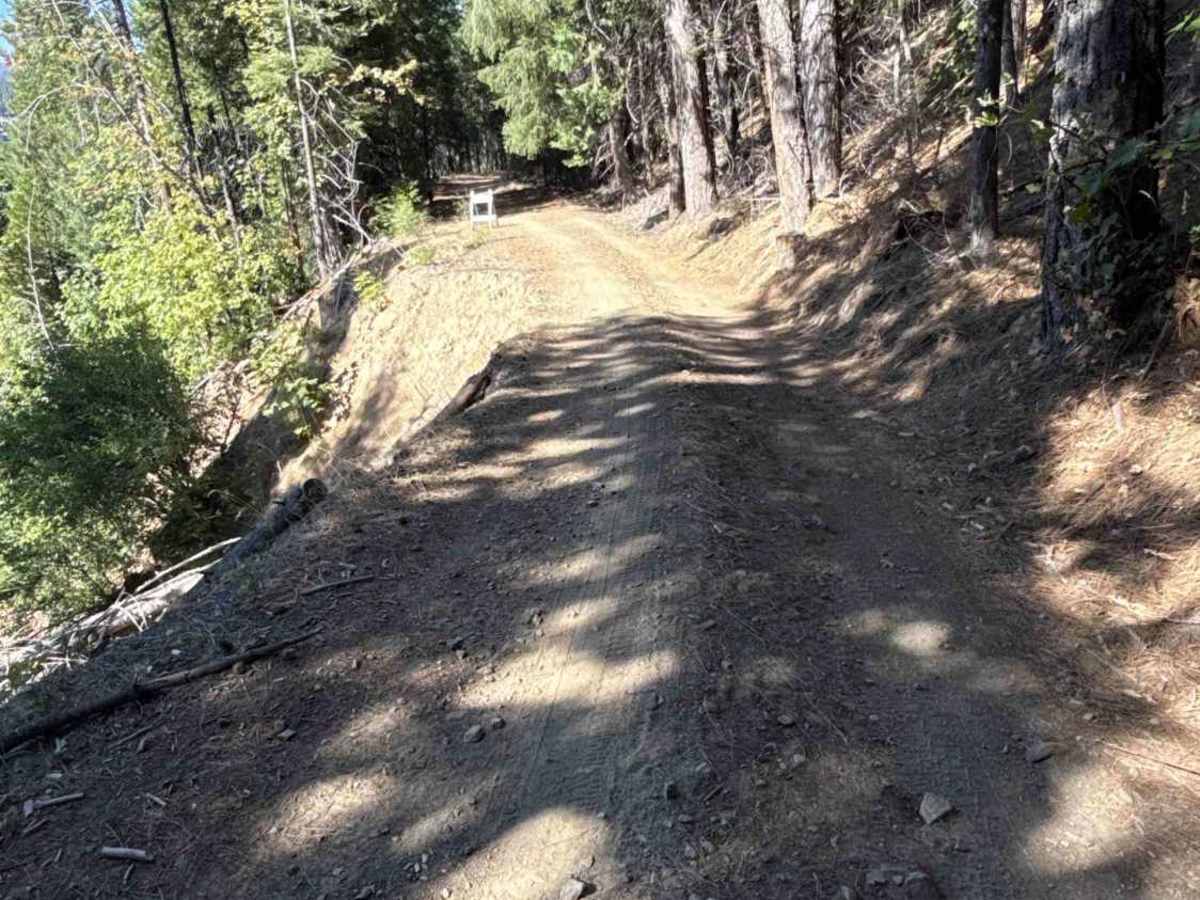
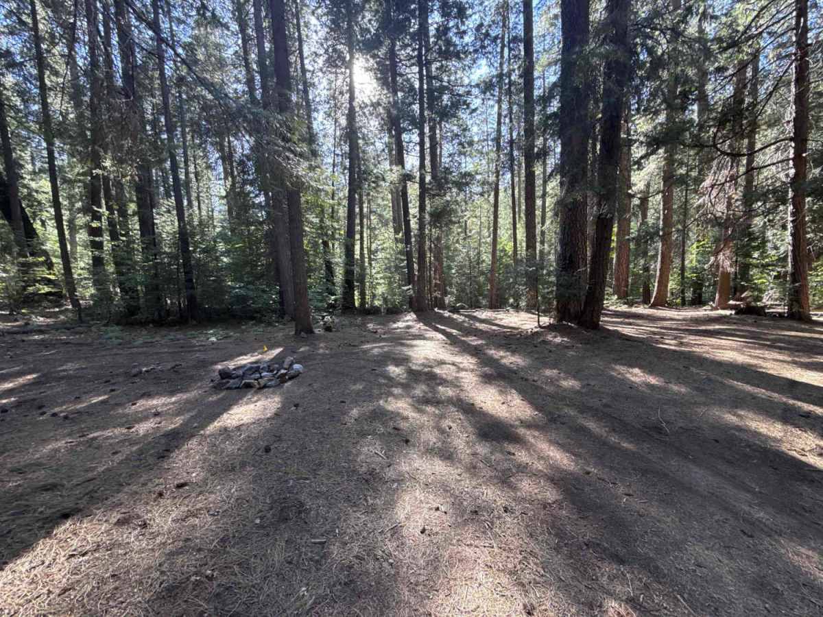
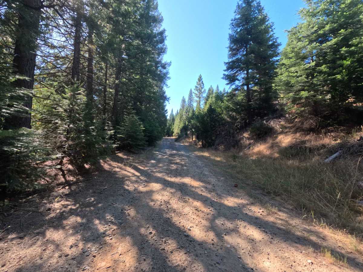
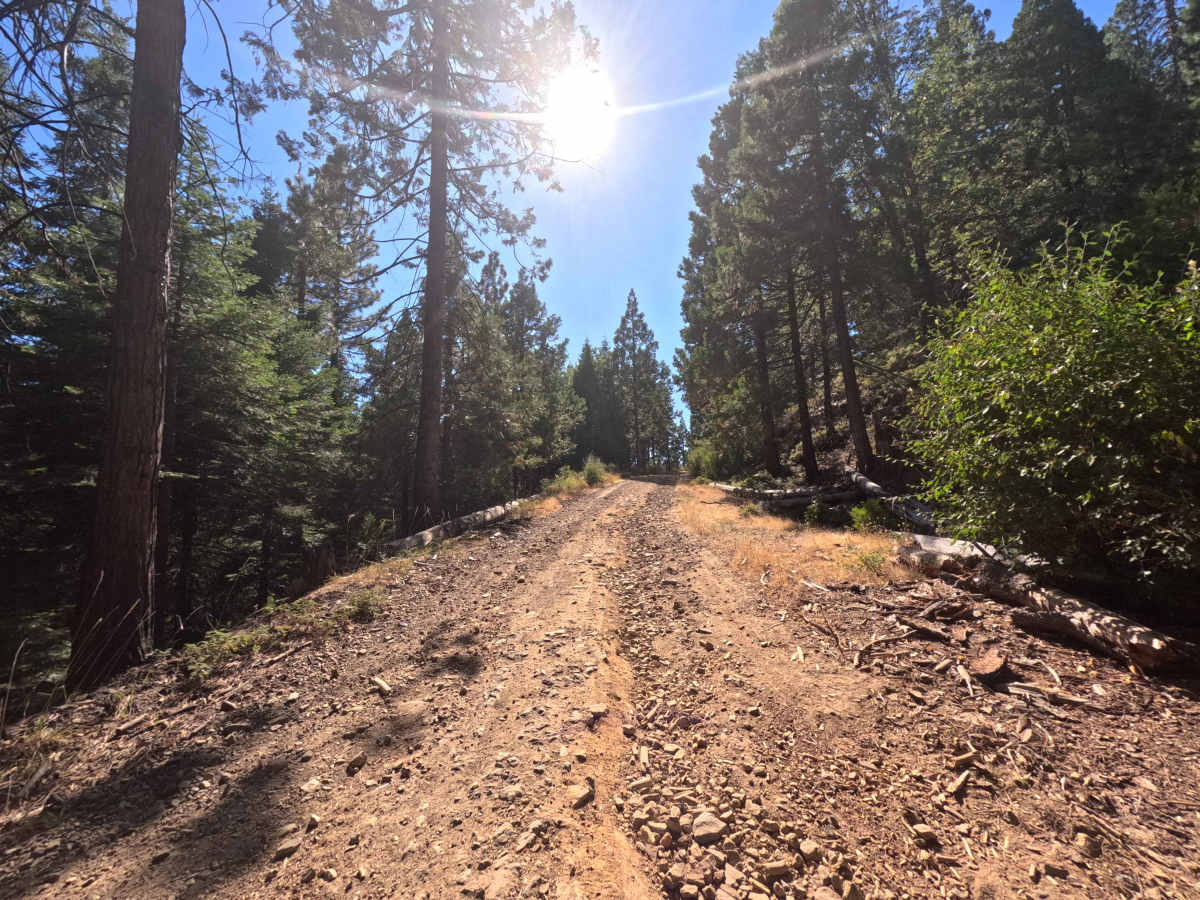
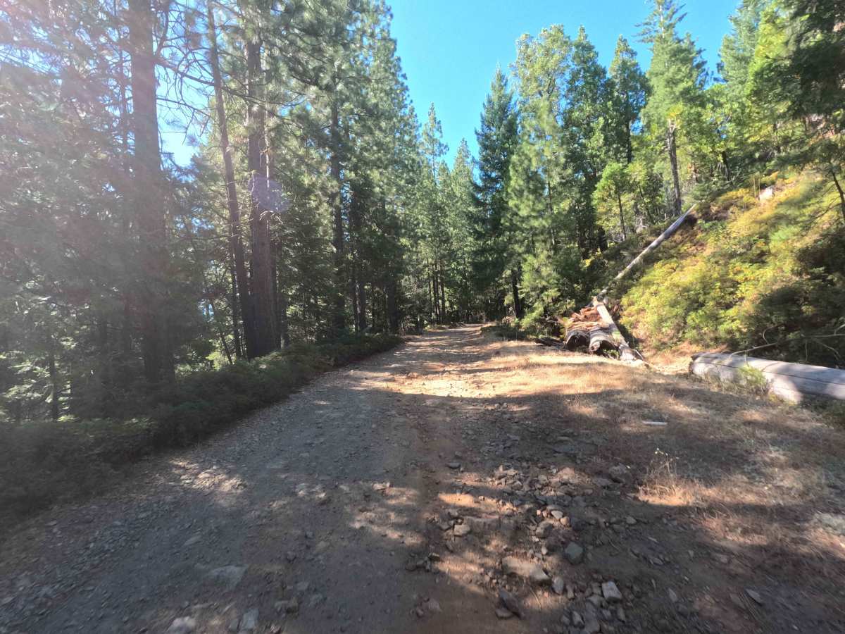
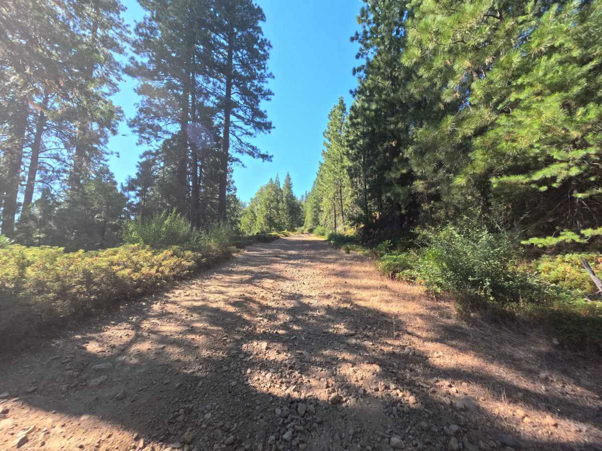
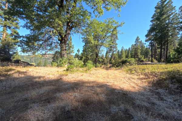
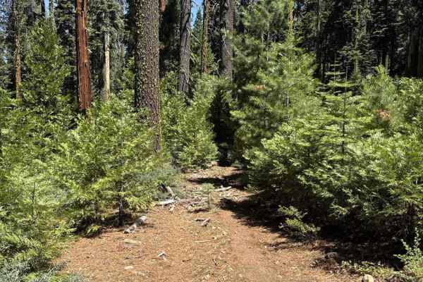
Nestled deep within the lush, densely timbered pine canopy of the Stanislaus National Forest, FS 7N08 functions as an incredibly scenic and highly useful backcountry connector. Branching directly off of forest route 7N28 and ultimately linking to 8N50, this lengthy pathway provides vital throughput into the remote mountain wilderness. Outdoor enthusiasts and overland campers frequently travel this corridor to reach a designated campground near the eastern edge and to access a spectacular array of secluded, sandy dispersed campsites positioned right along the peaceful river. The driving surface presents a tale of two distinct halves, earning a technical Grade 3 difficulty rating as it begins as a wide, well-maintained single-lane packed dirt road before severely deteriorating into a rugged, unmaintained rocky track. Traversing the route yields an engaging journey through thick evergreen stands and over winding, steep descents. Because this is a diverse, sprawling connector road, terrain conditions shift dramatically along the corridor, ranging from flat, effortless cruising to slow, bumpy crawls over exposed roots and loose cobbles. The heavy timber overgrowth gradually encroaches upon the pathway in the rougher sections, creating a tighter squeeze where light foliage pinstriping is practically unavoidable before the route finally culminates at the gorgeous waterfront camping clearings.
Difficulty
Earning a technical Grade 3 difficulty rating, this multifaceted forest connector features a rapidly changing dirt and gravel surface that demands careful attention and reliable ground clearance. While early portions of the trail consist of smooth, graded earth, travelers will inevitably encounter significantly rougher segments plagued by loose rocks, exposed tree roots, and jarring erosional dips. The most notable obstacle along the primary thoroughfare is a narrow, partially washed-out section where the hillside has crumbled away, requiring precise tire placement and spatial awareness to safely bypass the hazard. Additionally, a steep and tightly winding decline forces a slow, deliberate driving pace to maintain traction on the loose, irregular terrain. Securing the most highly sought-after waterfront dispersed campsites requires navigating a short, steep pitch riddled with deep24-inch ruts that will thoroughly test suspension articulation and approach angles, making ample ground clearance and capable four-wheel traction absolute necessities for a successful trip.

 Offroad