Trail Overview
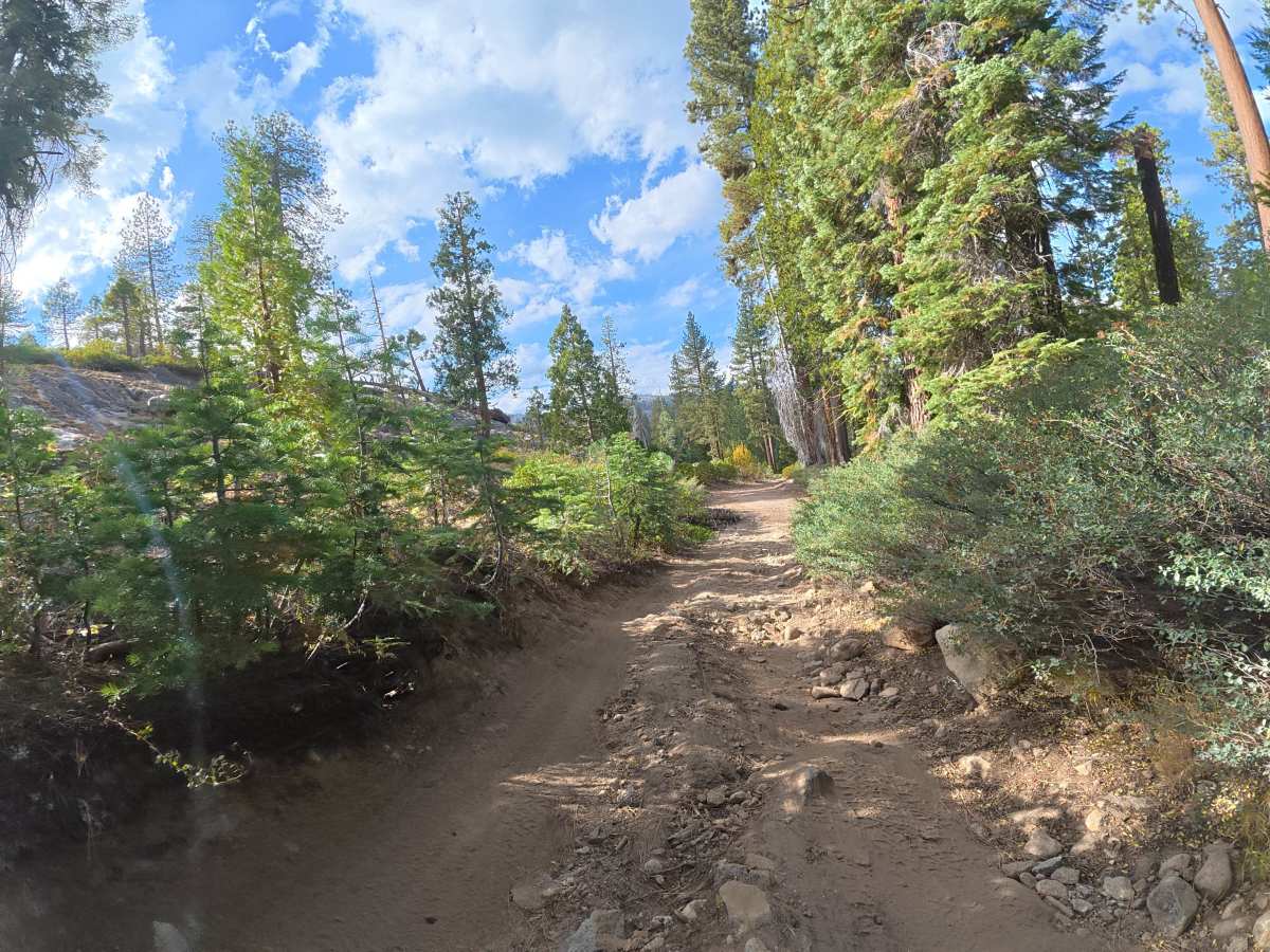
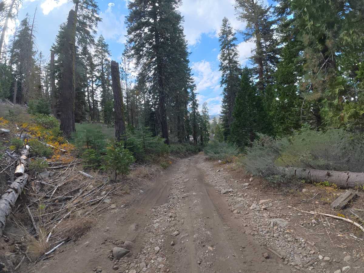
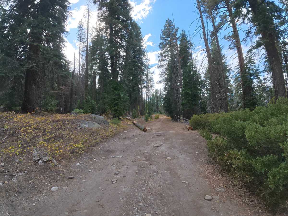
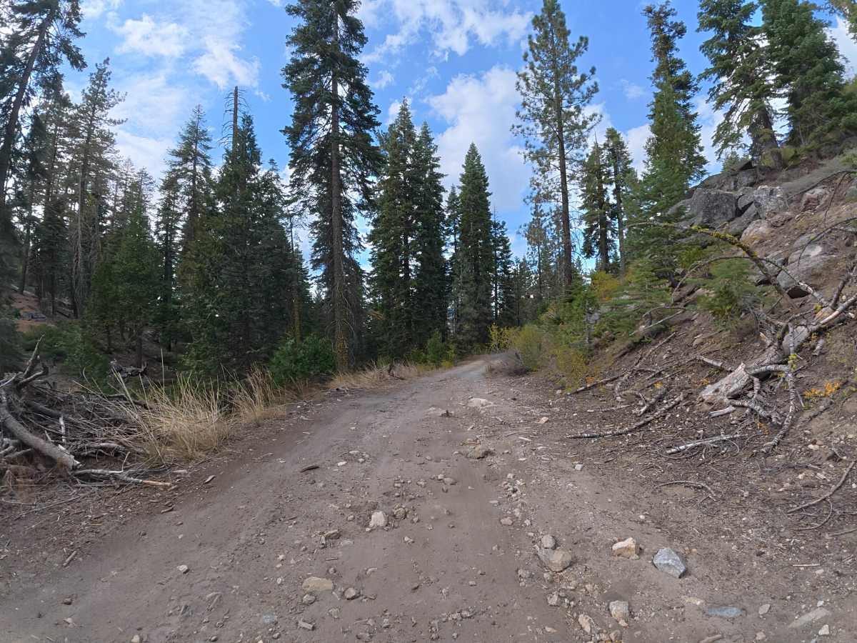
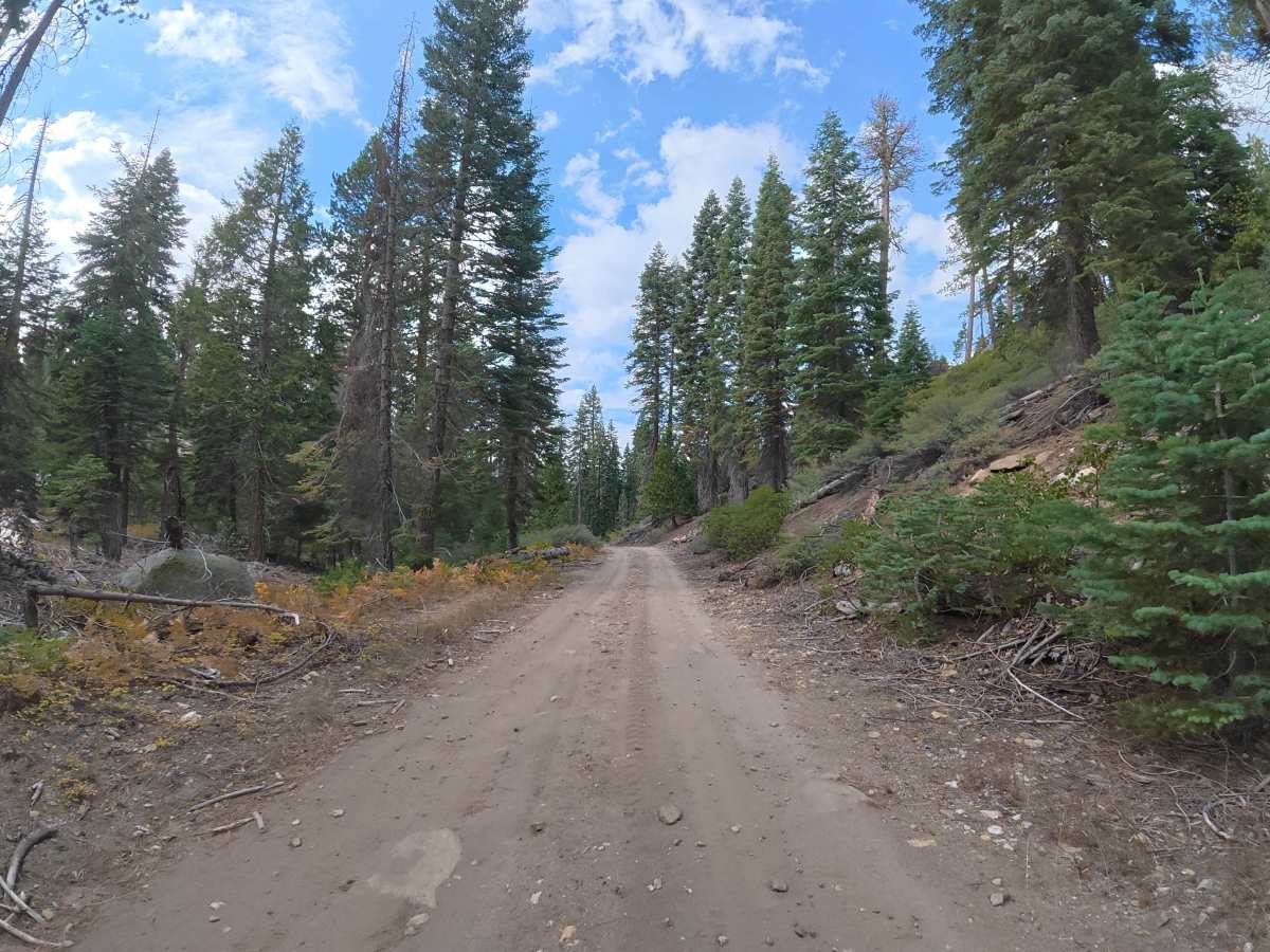
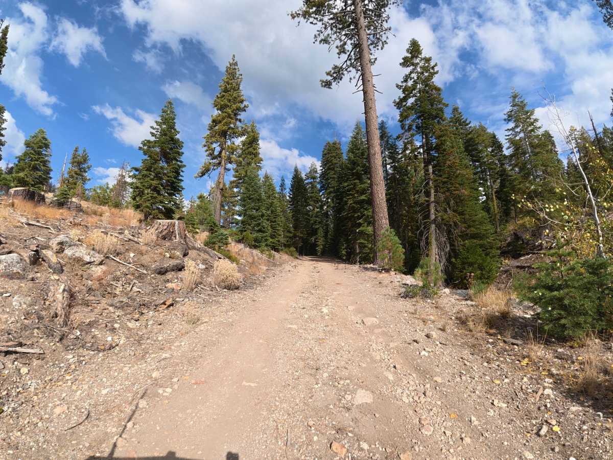
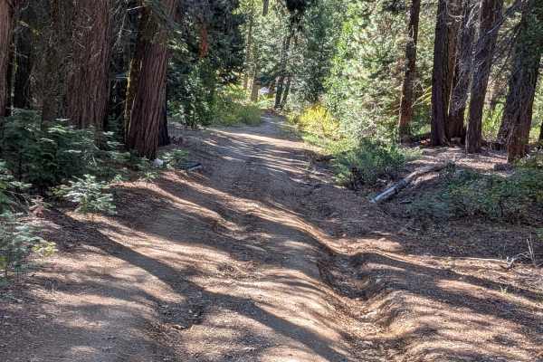
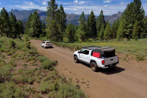
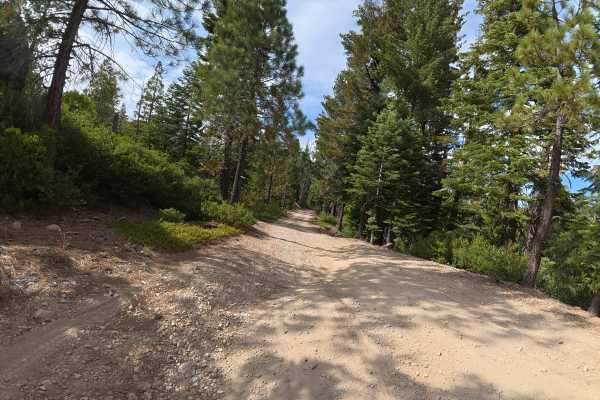
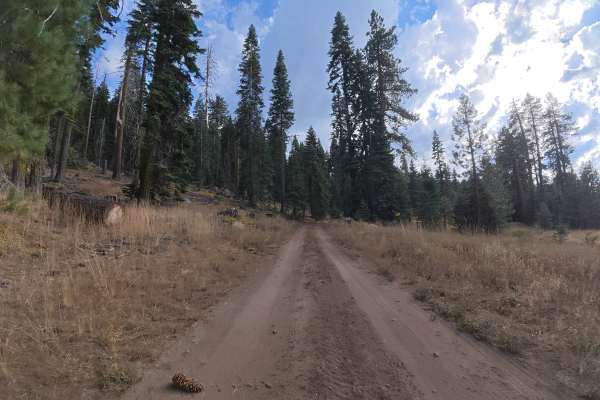
This narrow, fine-dirt trail branches from FS 5N06 and travels toward the opposite side of the mountainside. Ruts start at 2–6 inches deep, with occasional fallen trees you can bypass. Around 0.4 miles, a rock garden has 5–6-inch rocks and ledges, while ruts increase to 12–14 inches around 0.7 miles. After 2 miles, the route becomes extremely narrow and overgrown, making pinstriping unavoidable. 4WD or AWD is highly recommended for the deeper ruts and obstacles reaching approximately 12 inches. Camping is plentiful throughout the route. Sites around 0.2, 0.5, 2.0, 2.1, and 2.15 miles range from small private sites to a large hillside site accommodating up to 12 vehicles, with several offering shade, fire rings, and expansive mountain views. Another private, level campsite near the far end accommodates up to seven vehicles. Overall, this is an exceptionally scenic route with numerous camping options and excellent mountainside views.
Difficulty
This trail is rated Level 2 because of the rock gardens, ledges, and sections of deeper 12–14-inch ruts. The terrain gets significantly tighter after 2 miles, with unavoidable vegetation and obstacles that require careful tire placement and maneuvering.