FS 5N12Y

Total Miles0.8
Technical Rating
3Easy
Best TimeSpring, Summer, Fall
Trail TypeFull-Width Road
Accessible By
Open Trail Map

Trail Overview

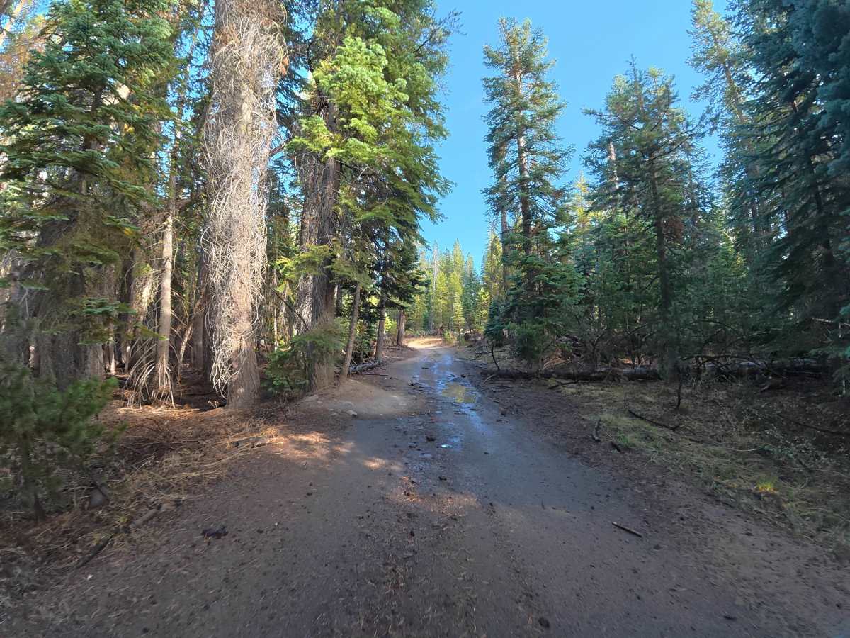
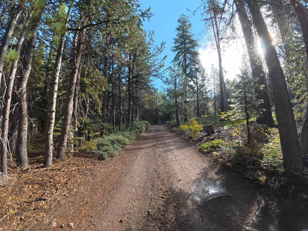
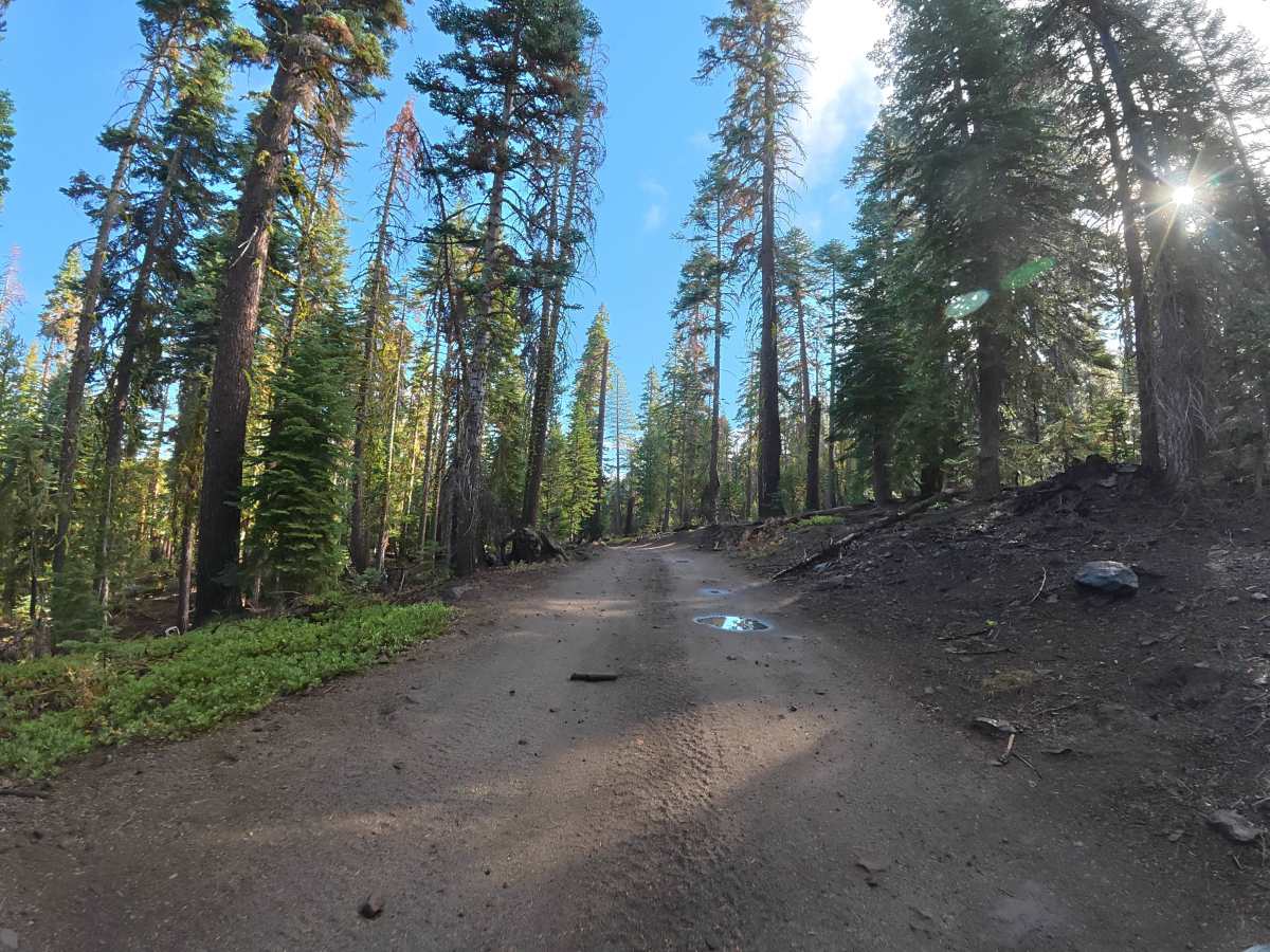
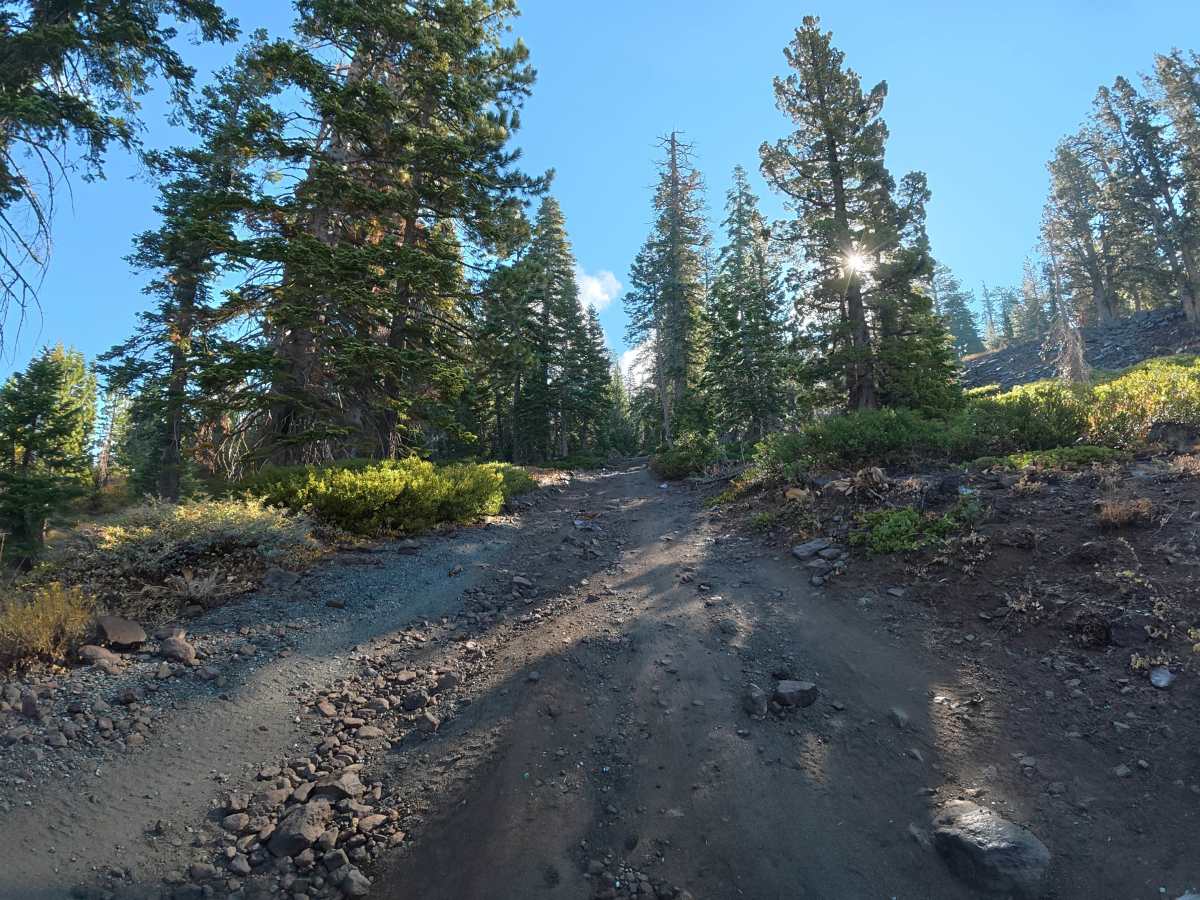
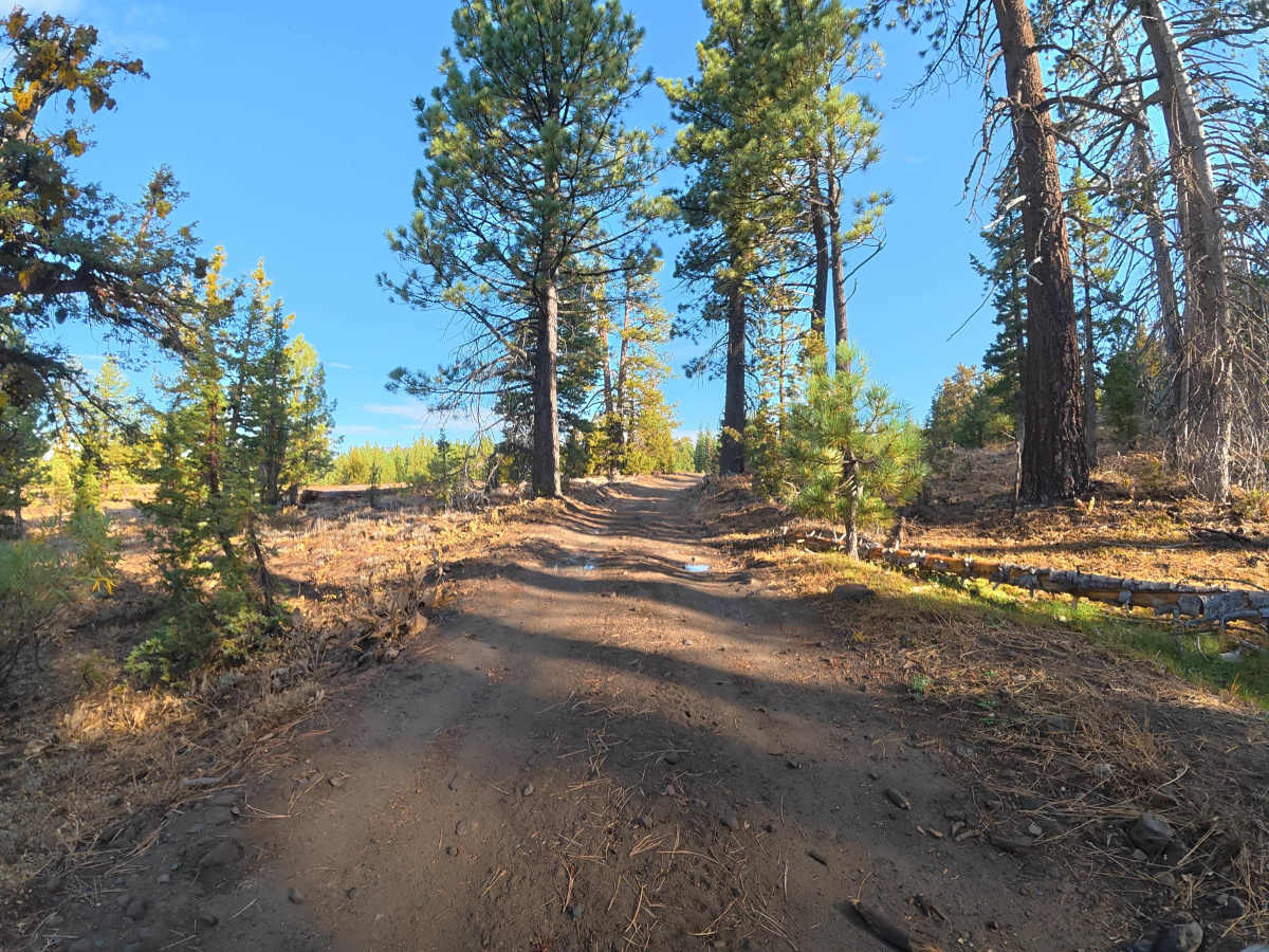
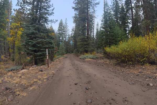
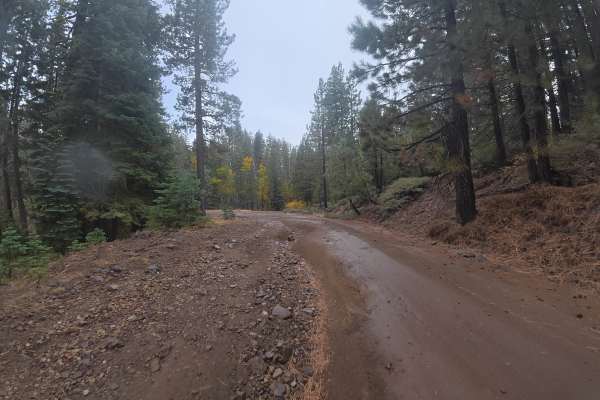
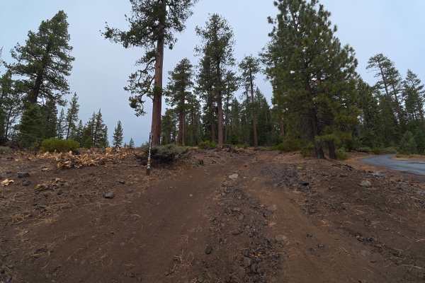
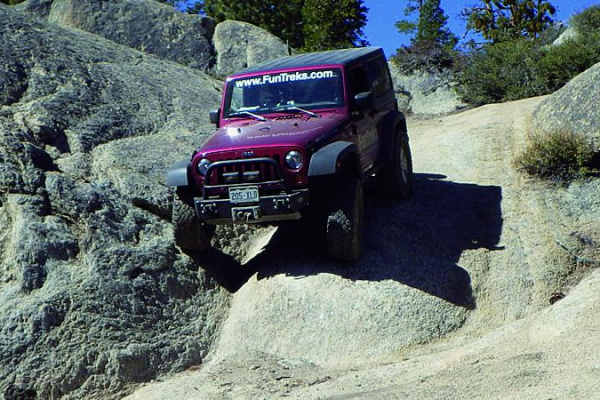
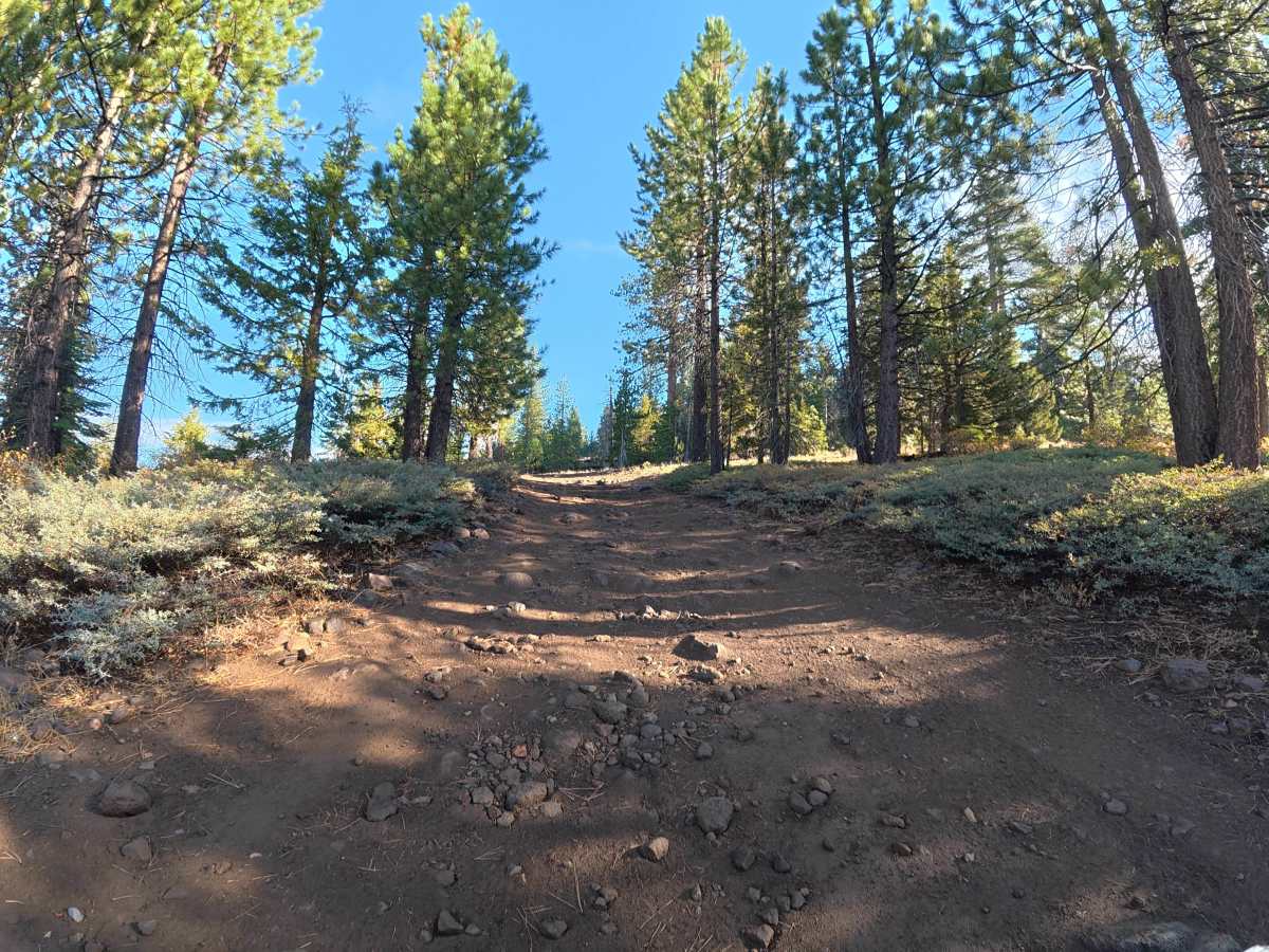
This narrow, loose-dirt trail immediately climbs into the hillside with steady elevation gain, frequent rock gardens, and rock ledges reaching 6–8 inches tall. There is little room for vehicles to pass, although occasional wider sections provide space to pull aside. 4WD or AWD is highly recommended due to the hill climbs, rocky terrain, ledges, and ruts. The loose surface can become considerably more difficult when wet. The route climbs to the top of the hill, providing expansive views of the surrounding mountains, forest, and rock formations. This is a short but exceptionally scenic route. Be aware that it connects directly to a Level 6 trail; drivers who do not want to tackle Level 6 terrain will need to return the same way.

Photos of FS 5N12Y

Difficulty

This trail is rated Level 3 because of the hill climbs, frequent rock gardens, ruts, and 6–8-inch rock ledges. 4WD or AWD is highly recommended for the combination of loose terrain and rocky climbing sections.

Technical Rating

3

FS 5N12Y Trail can be accessed by the following ride types:

  • Single Track
  • 50 Inch
  • 60 Inch
  • High Clearance
  • Full Width

FS 5N12Y Map

The onX Offroad Difference

onX Offroad combines trail photos, descriptions, difficulty ratings, width restrictions, seasonality, and more in a user-friendly interface. Available on all devices, with offline access and full compatibility with CarPlay and Android Auto. Discover what you're missing today!

Open Trail Map