Trail Overview
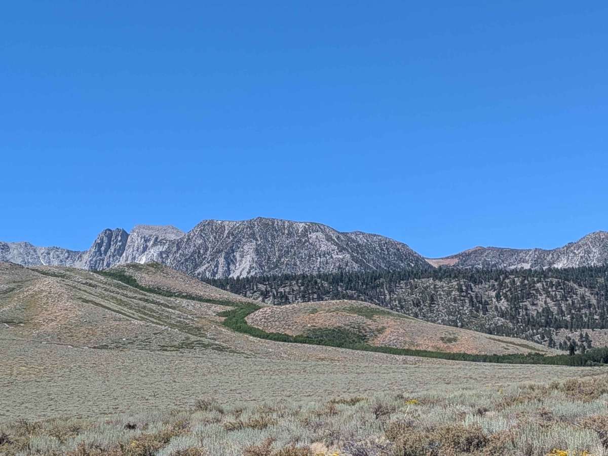
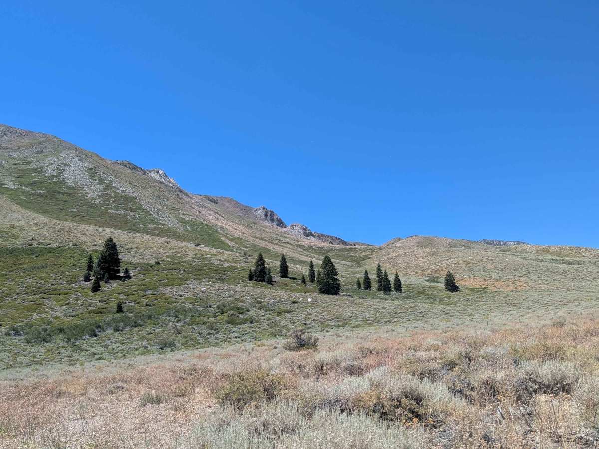
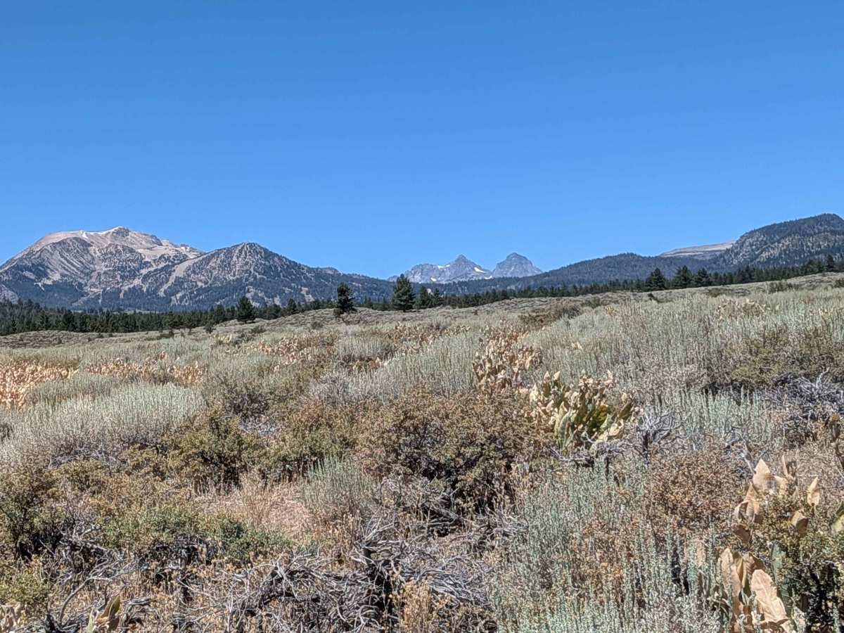
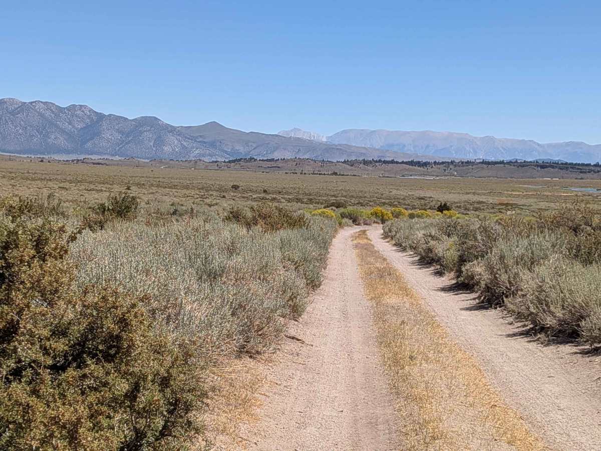
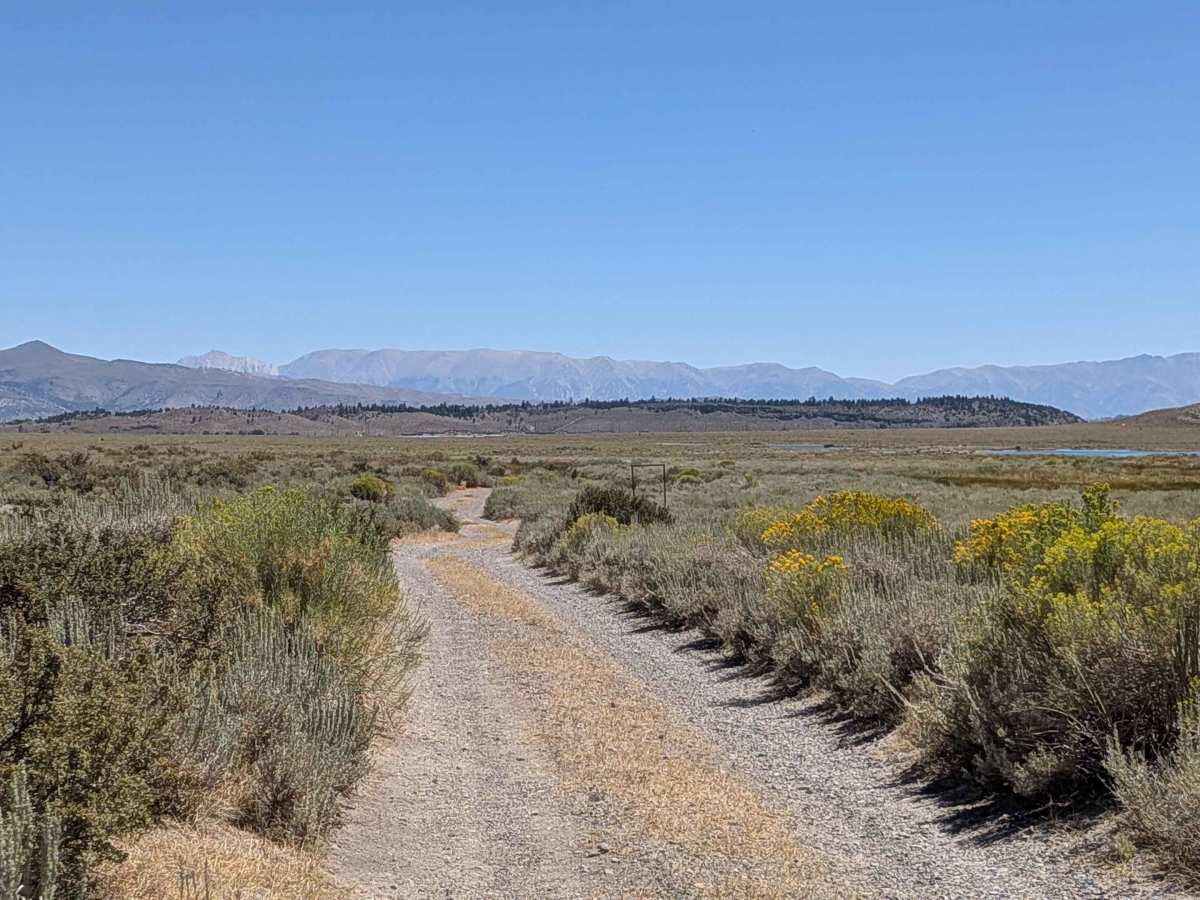
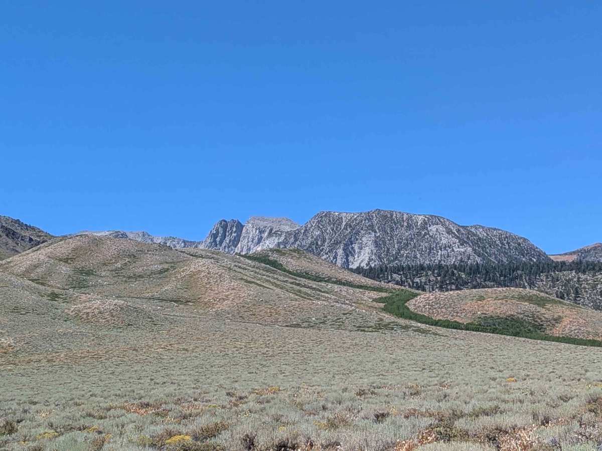
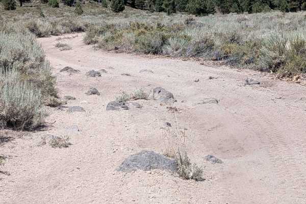
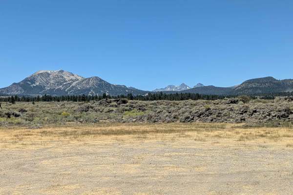
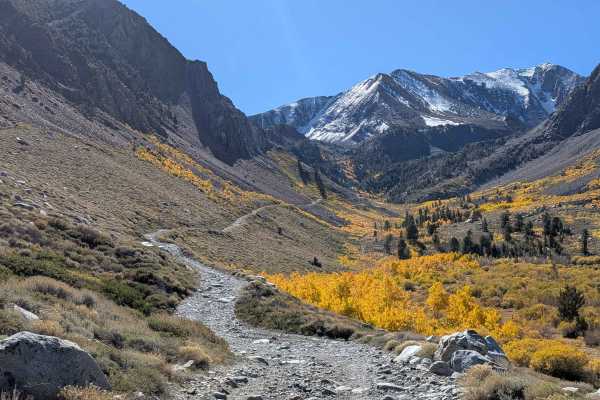
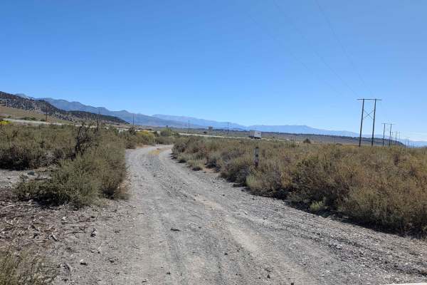
This peaceful gravel and dirt trail runs parallel to Sherwin Creek, beginning near a freshwater spring—an excellent spot to rest and enjoy the natural sounds of flowing water. Please practice Leave No Trace ethics. Along the west side of the trail, you'll find a beautiful grove of aspen trees, which becomes a highlight during peak fall colors. The route offers spectacular views of the Eastern Sierra, including Mammoth Mountain, the Minarets, Mount Banner, and Mount Ritter. As you continue, the terrain gradually transitions from gravel to dirt and sand, hugging the base of the Sherwin Range. The trailbed features a slightly raised center line, which can create challenges for low-clearance vehicles, especially if vegetation has overgrown the middle. The road is occasionally graded, but conditions can vary seasonally. This area is a wildlife corridor: it’s not uncommon to encounter hundreds of migrating deer in spring and fall, so use caution, especially around dawn and dusk. Owls often hunt near the road during those hours as well. There’s also a runoff lake nearby that may appear inviting, but is polluted—do not allow animals to drink from it or enter the water. Please be mindful of Inyo National Forest’s strict seasonal fire restrictions, which are typically enacted in early summer.
Difficulty
Mostly manageable for high-clearance vehicles, and 2WD with good tires should be fine in dry conditions. Be cautious of the raised center line, seasonal sand, and potential wildlife crossings.