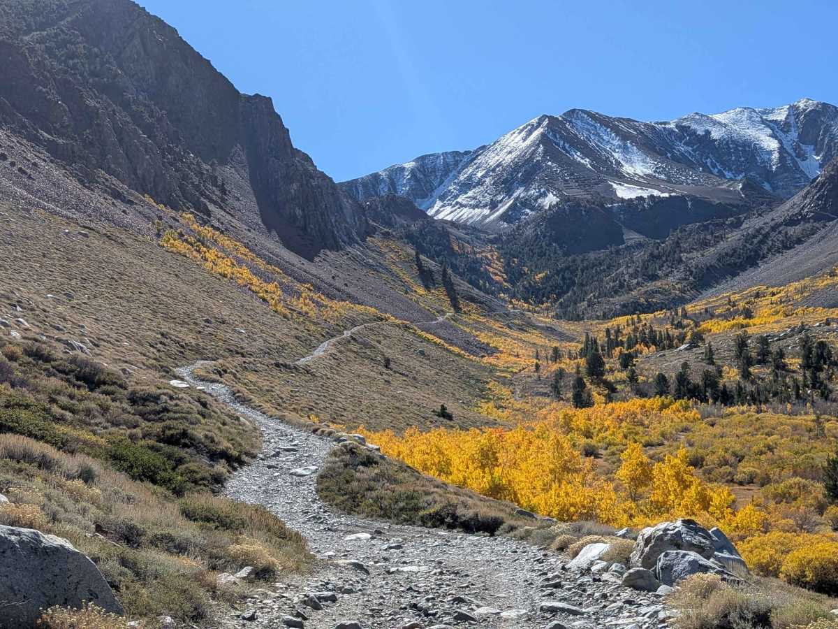
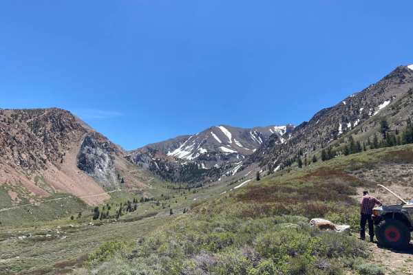
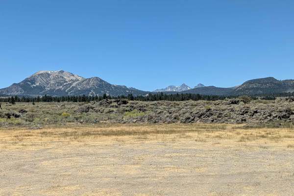
Trail Overview
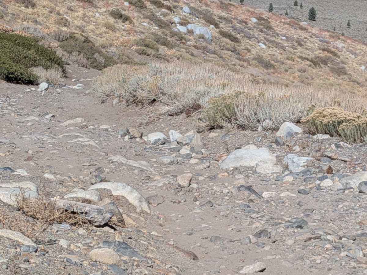
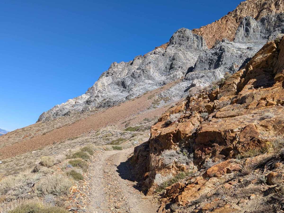
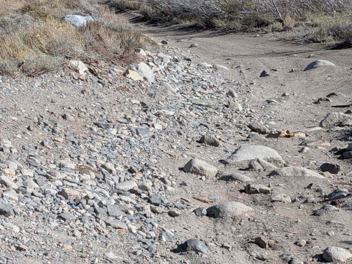
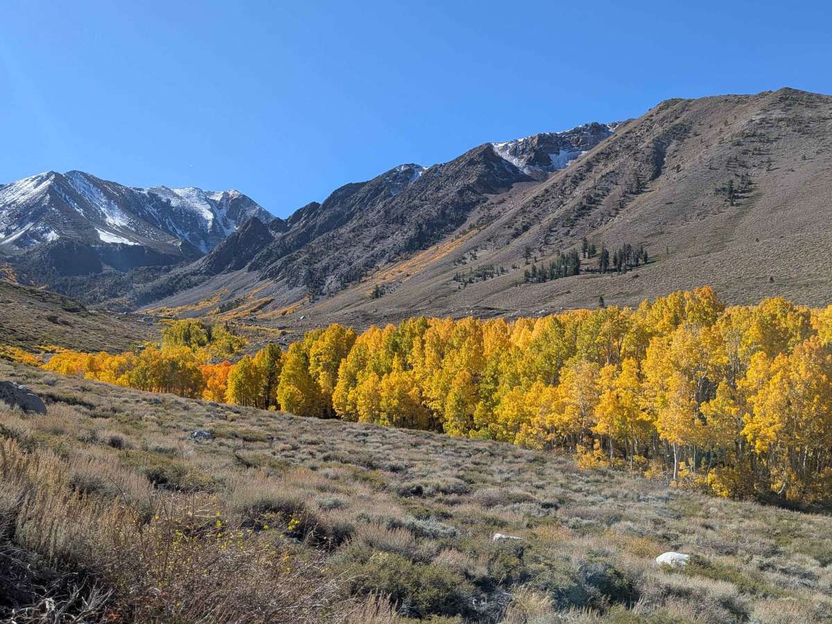
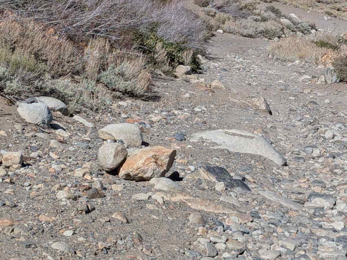
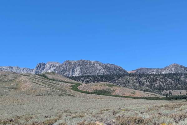
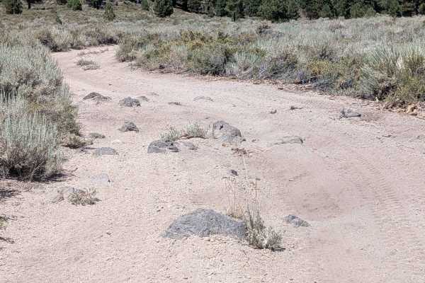
This 5-mile out-and-back trail climbs 2,757 feet to a summit at 10,086 feet, accessible from Sherwin Creek Road via Old Mammoth Road (more scenic) or Highway 395 past Highway 203 offramp. Part of the Inyo National Forest, it runs on the border of the John Muir Wilderness. The surface is embedded rocks, loose rocks, sand, and dirt. The trail is 1 to 1.5 vehicles wide. Laurel Creek runs the entire length, fed from Laurel Lake. The first half mile introduces rocky terrain you'll encounter on switchbacks. From start to mile 1.25, expect rock gardens and boulders under 18 inches. Stunning lake views appear on descent, with Bloody Couloir visible above. Fall colors are spectacular. This is a perfect trail for aggressive stock or lifted 4x4s and newer drivers seeking the next big challenge. Plan 3 to 5 hours. It can get busy on weekends, especially holidays.
Difficulty
This trail features rock gardens and boulders under 18 inches from start to mile 1.5, all maneuverable with the right tire placement. Shelf roads are present along the way. At mile 3.0, the narrow ledge road is all rock from a past landslide with nowhere to turn around (watch for oncoming vehicles, may have snow in spring). At mile 3.5, narrow switchbacks begin, which have rocks sticking up on the sides. Continue to look for oncoming rigs. At mile 4.5, another challenging shelf road runs along a rock slide area full of loose shale (extreme caution in spring with snow). At mile 4.75, the tightest switchback requires multiple-point turns (trailers are not recommended). From here, it's all loose rocks, and low gear is highly recommended to control speed. Note that coming back down can be more challenging. Controlling speed on rocks, trouble seeing the trail, shelf, and ledge cliffs on the driver's side, all add to the fun and challenge. 4x4 and high clearance, as well as airing down, are a must. Also, check the weather, as rain and especially thunderstorms can add a great deal of difficulty and danger.
History
The Laurel Lake Trail follows a historic mining road that was built to access the minerals in the mountains. The road climbs steeply from Sherwin Creek Road, reaching elevations just over 10,000 feet. While suitable for high-clearance 4x4s, the route was historically used for the more difficult task of transporting miners and ore. The trail's creation is a remnant of the late 19th-century mining boom that occurred in the Mammoth Lakes area. The nearby Mammoth Mining Company, established in 1878, mined for gold and silver, attracting thousands of prospectors to the region.